First place any place

A year ago my friend Patty asked me if I would join her in running the Millinocket Half Marathon. This race is a no-fee, no-frills event held in mid December to get people to visit and spend money in a mill town in northern Maine that is facing extreme hardship with the collapse of the paper making industry. I love every aspect of this idea, a simple plan  to bring people together to do something that’s good for a cause and good for themselves, without a race’s usual self-congratulatory pageantry and spending on throw-away trappings.  (If you want a race medal, you have to buy one!) It had been a long time since I had run 13.1 miles, but I immediately agreed to sign up. Running has been my main exercise since I was 20, the cross country bike trip would leave me with basic fitness, and the fall months would give me time to accustom my joints and muscles to long runs. Having the race date on the calendar helped stave off nighttime snacking and the creeping return of my pre-bike-trip red wine habit.

Through the fall Patty and I would trade updates. She had a glute injury and had to make her first ever foray into PT. In mid November I found an engorged tick on my elbow that necessitated a round of Doxycycline, and then I came down with either tick bite sickness or just plain creeping crud. We both still thought we could steer our bodies to the race on December 9. A week before the race I did my last long training run in Biddeford Pool for a change of scene and for a chance to see Snowy Owls, and it was all good.  But Patty’s race week didn’t go so well. First she got a killer cold that laid her flat. Then an important friend of hers went into the hospital and required Patty’s care. The gods were telling her that she should wait til 2019 to run the Millinocket Half Marathon.  OK, now I had to decide. Did it matter to me to run with the spirited Millinocket crowds? In many ways that would be exciting, but it did involve a long drive and an overnight where I might not sleep well before the race, and my friend would not be along for the adventure.  I had already done my Millinocket spending with a donation to the town library, so showing up would matter only to me. There was always 2018. I still wanted to run the distance, but I didn’t really need to do it in Millinocket. If I ran it at home, I could choose the time and the route. What fun it was to fire up gmaps-pedometer.com and find all the 13.1 mile routes on little roads in a radius from my house. It turned out that if I ran from the Chebeague Island Ferry dock to home on an indirect route, I’d have my half marathon.

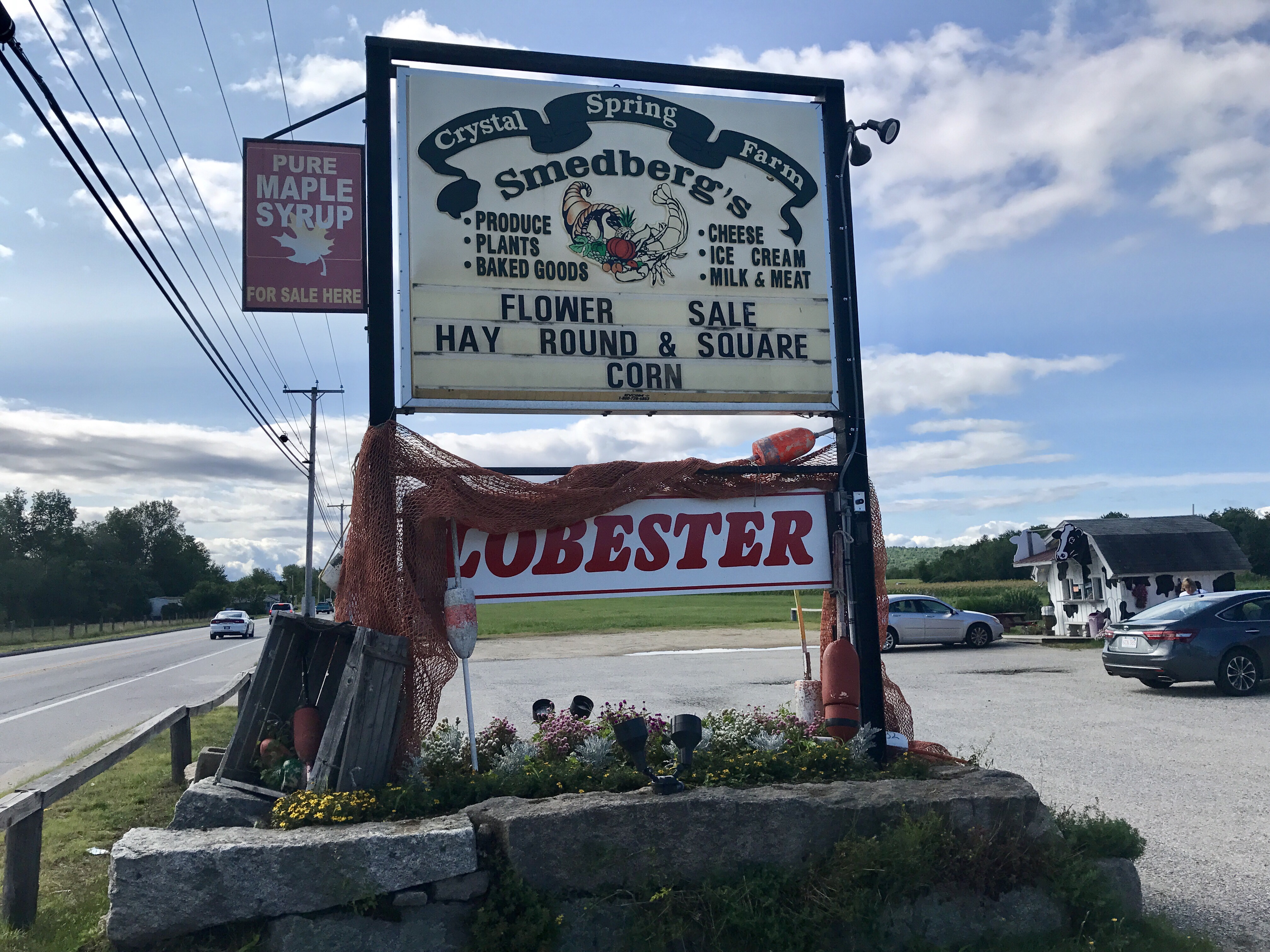
I think I’m on to something with the concept of a self-designed race. It’s free, it’s simple, and it starts at the best moment for your bowels. My husband agreed to drive me to the ferry dock, with a stop along the way to hide a bottle of water and a granola bar under a juniper bush on Sligo Road at mile 8.

IMG_2762 2.jpg

Starting out felt momentous even without a time keeper’s gun.

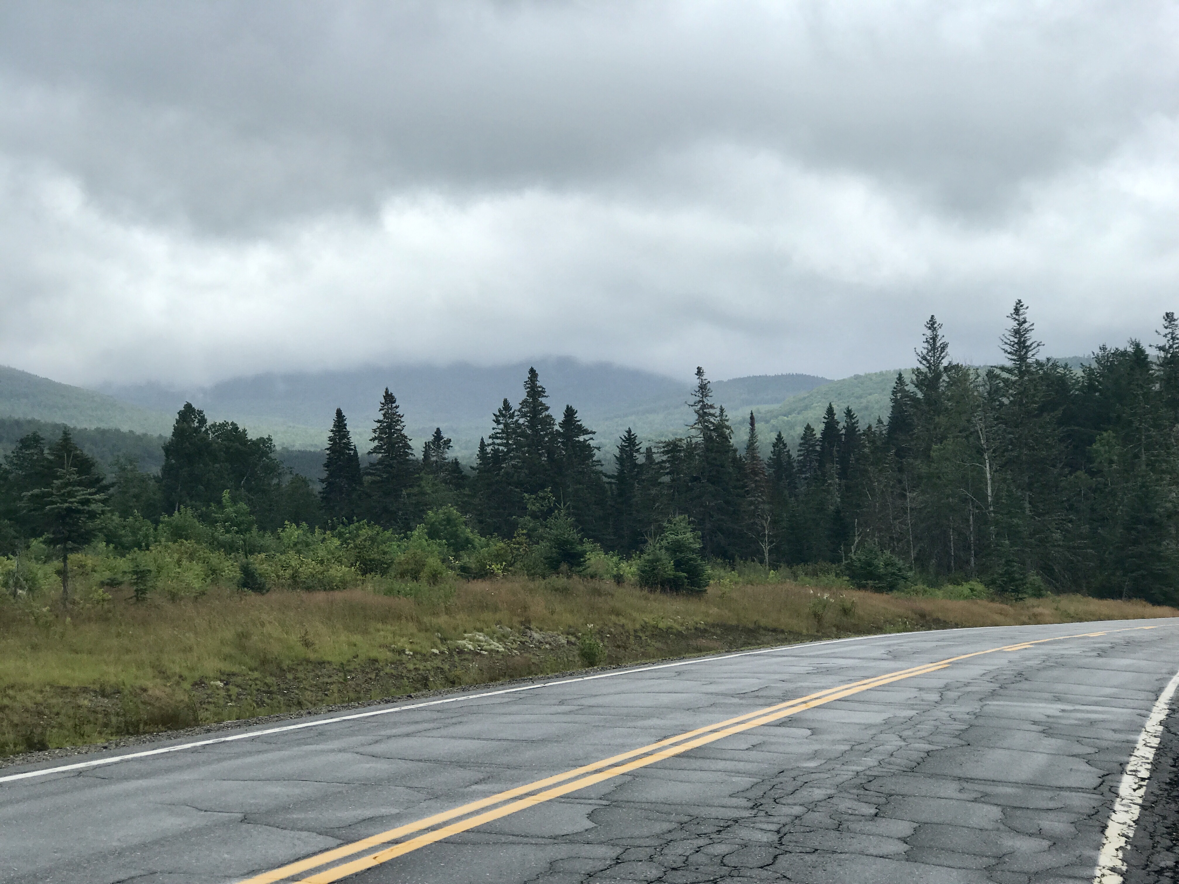
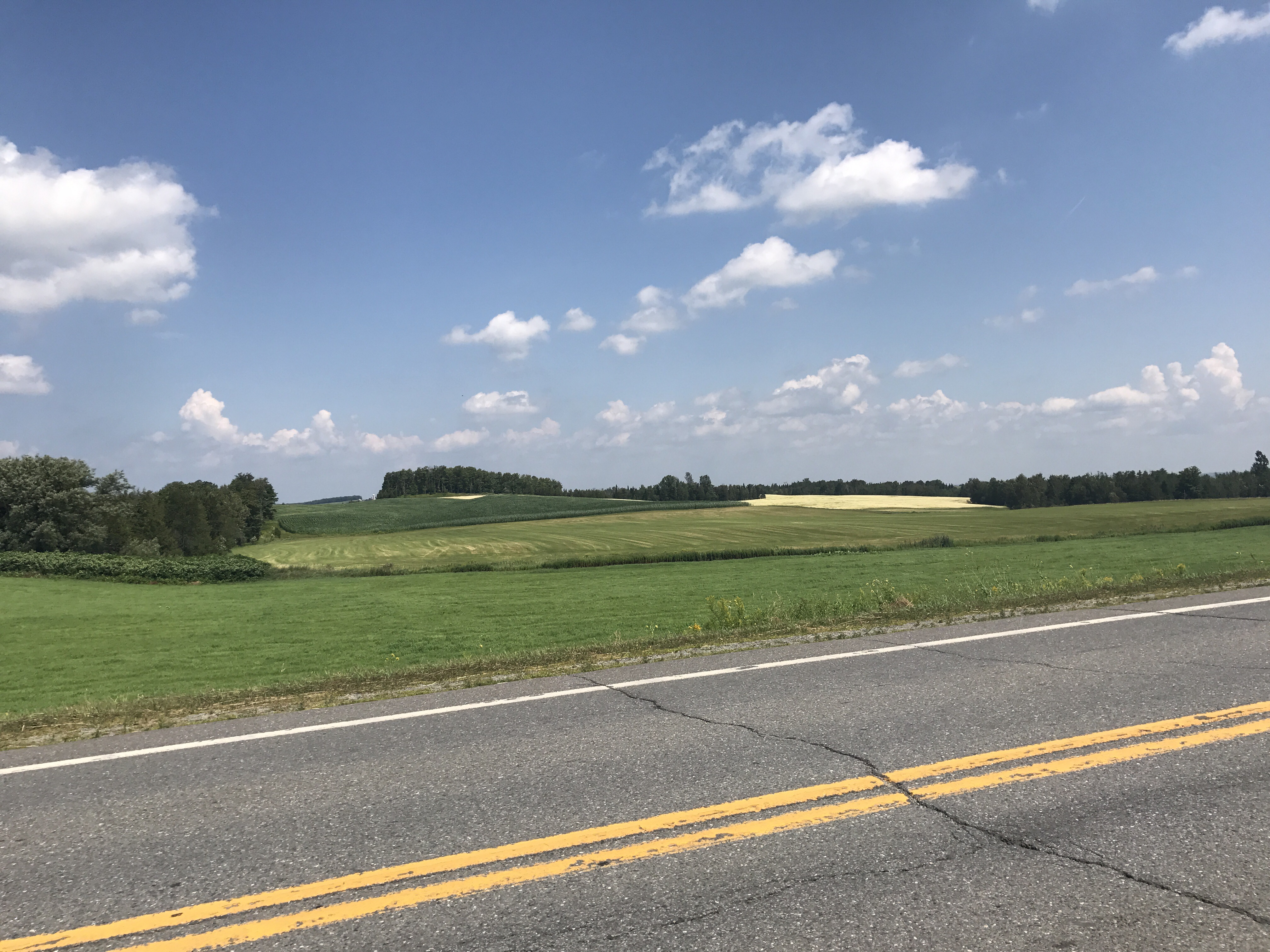
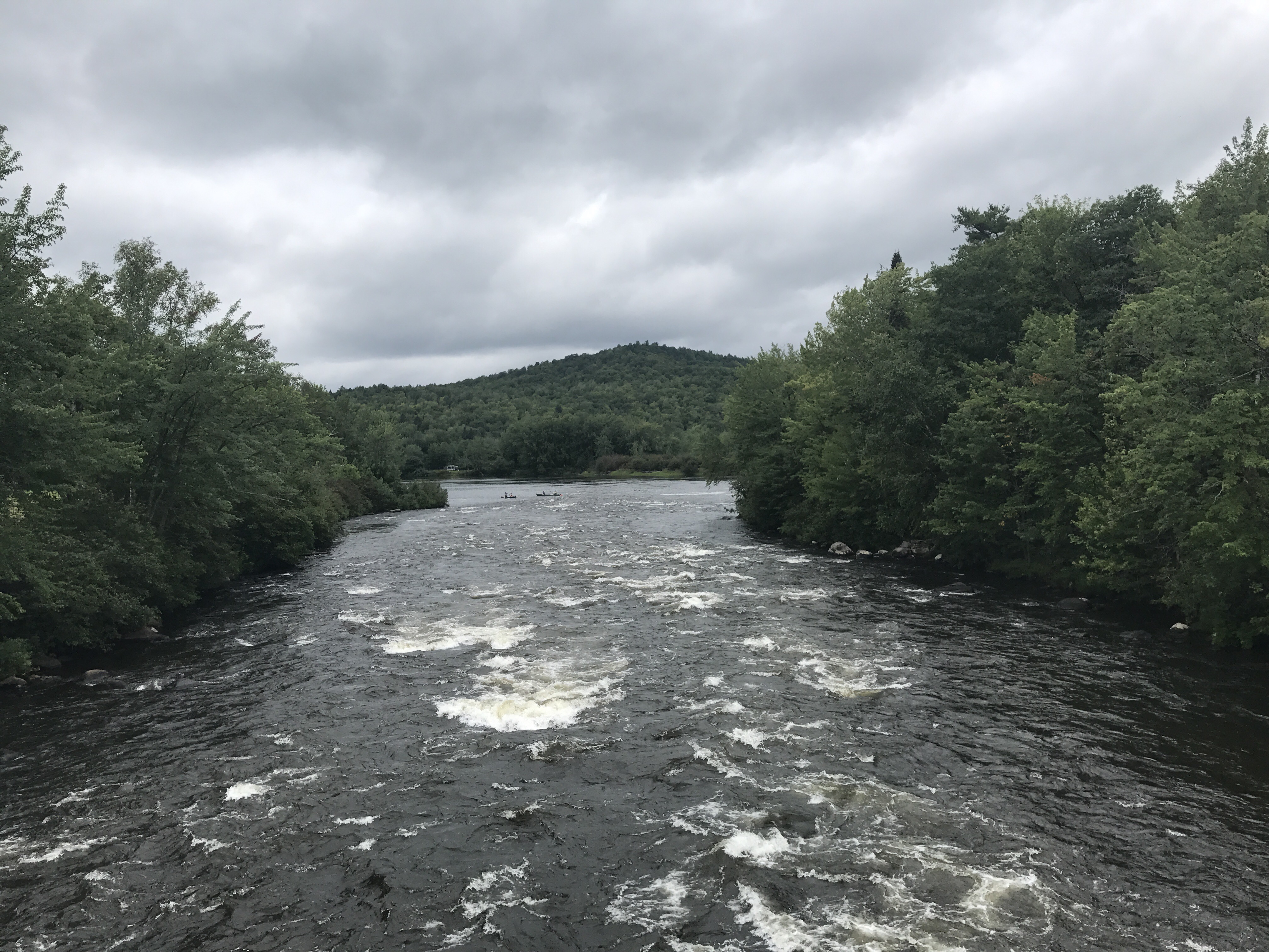
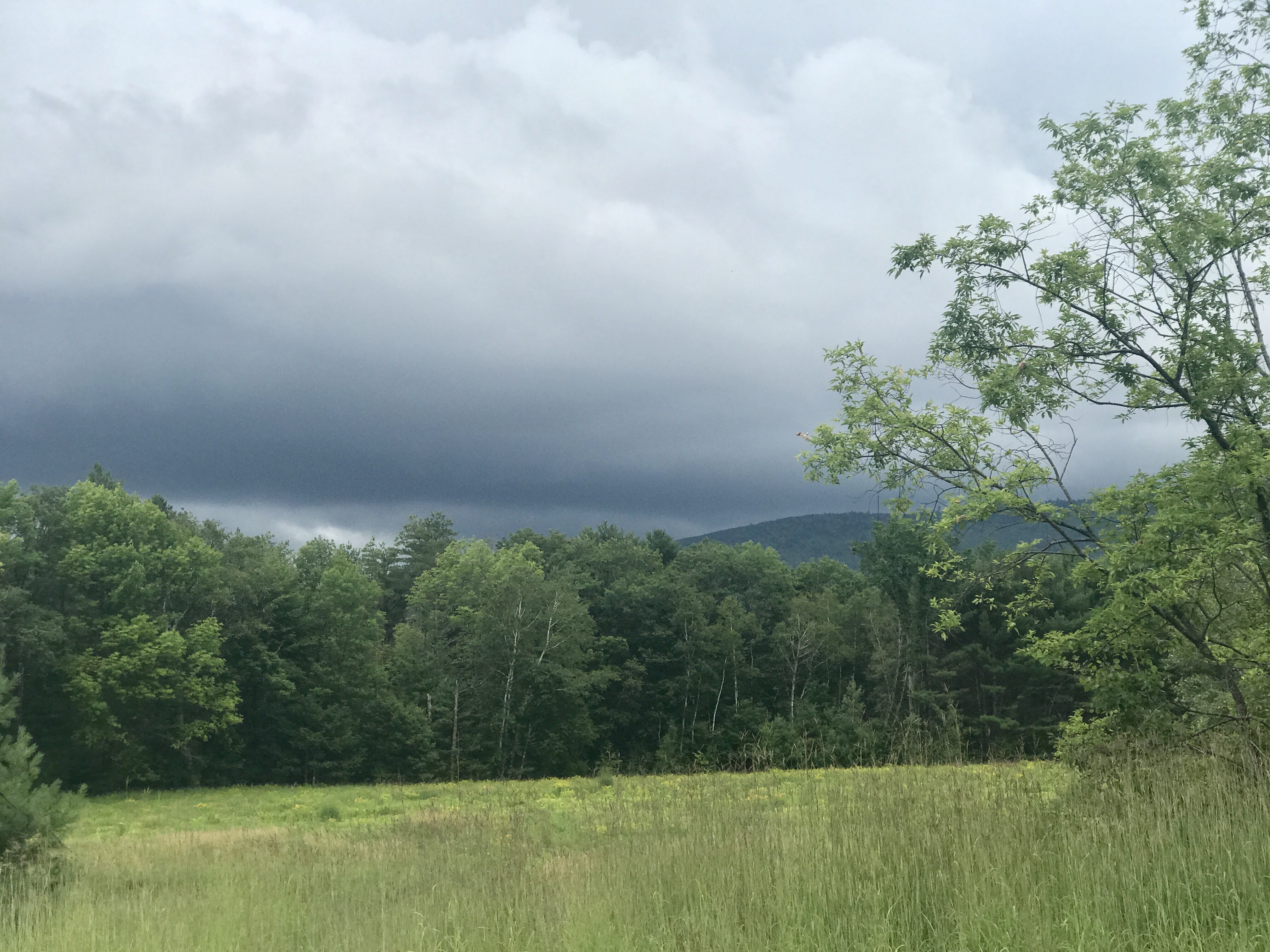
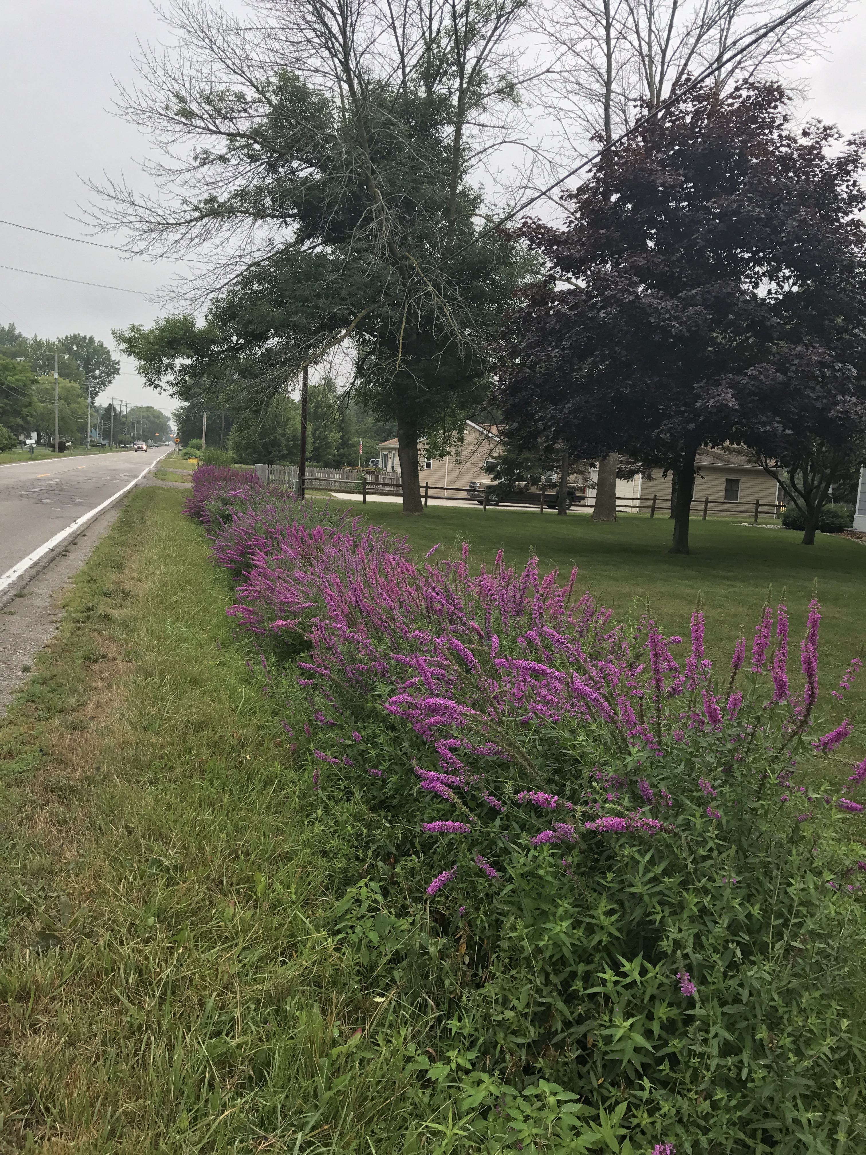
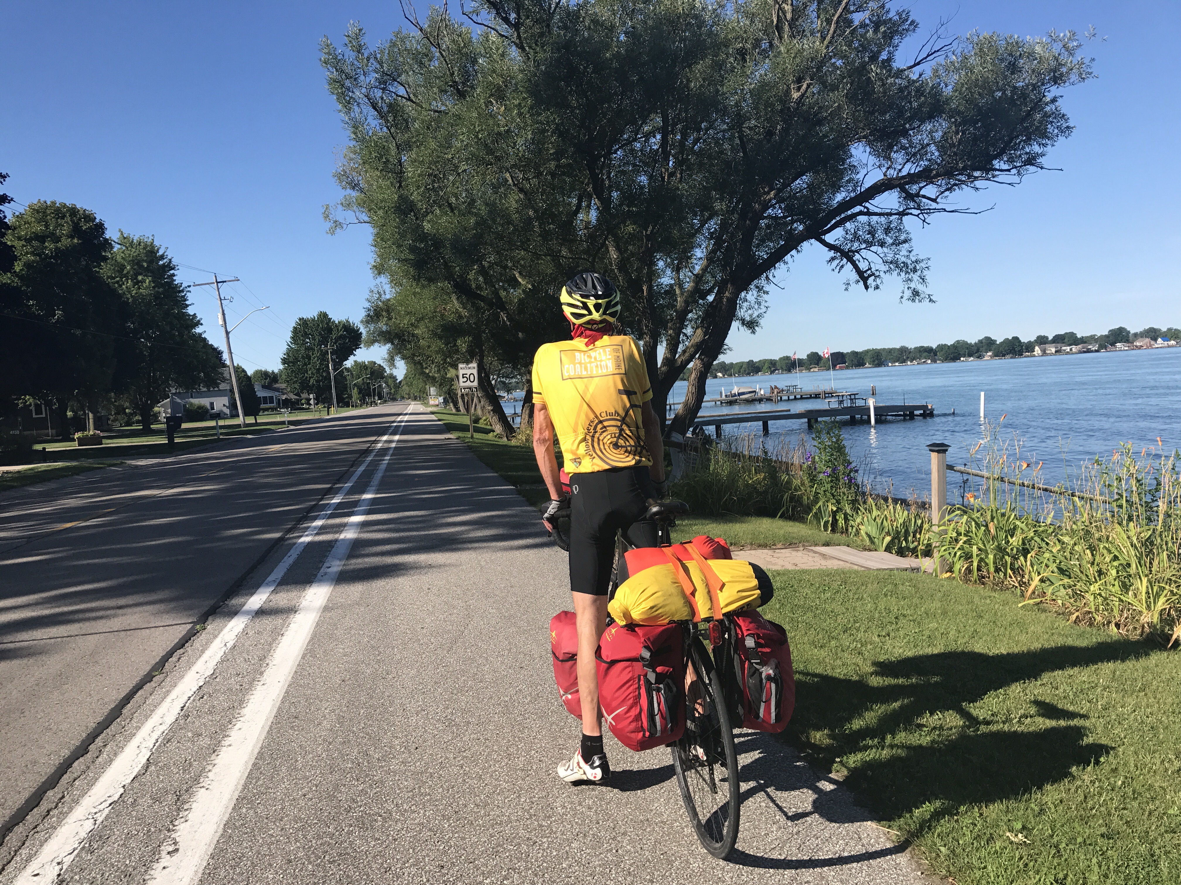
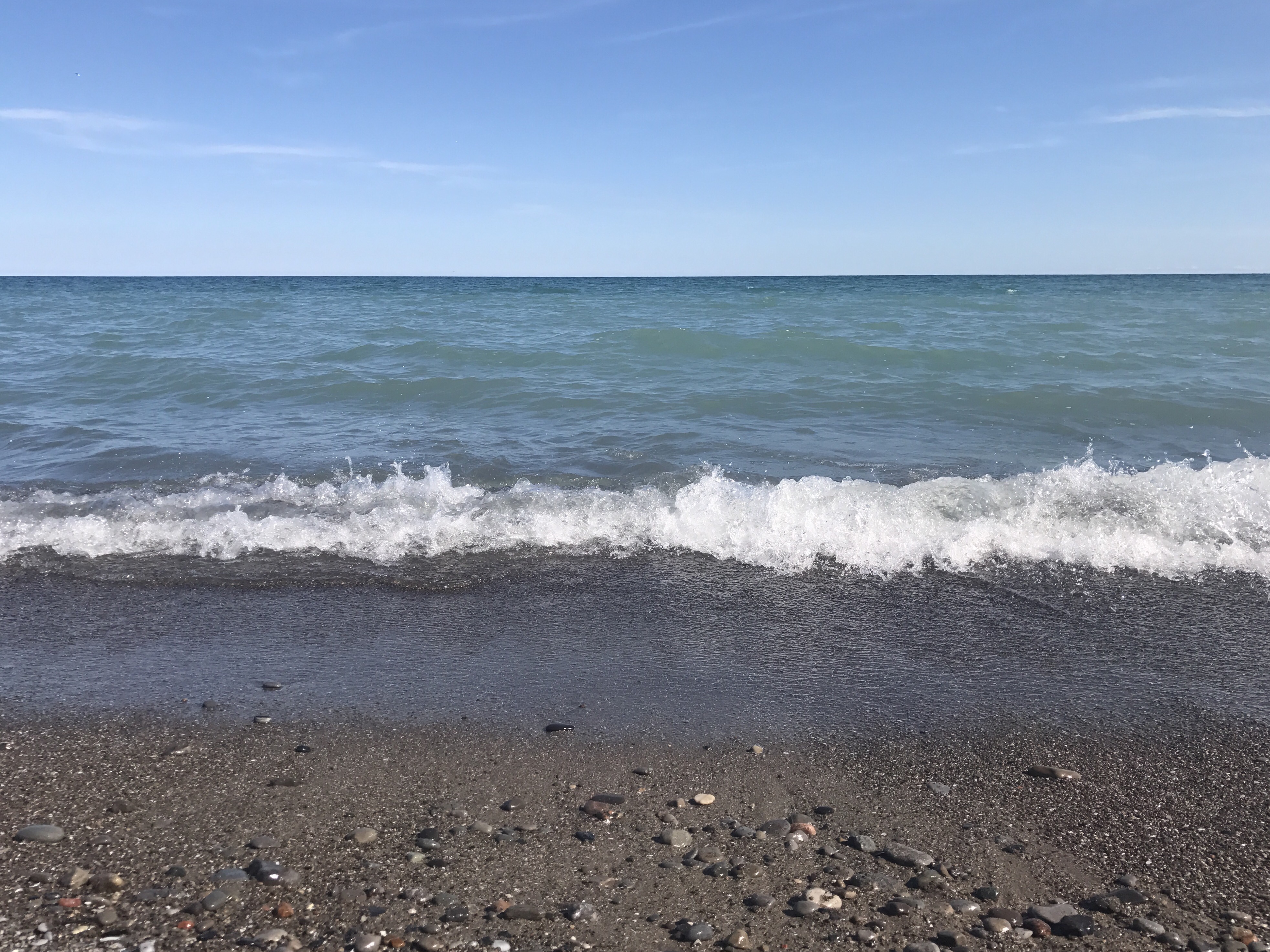
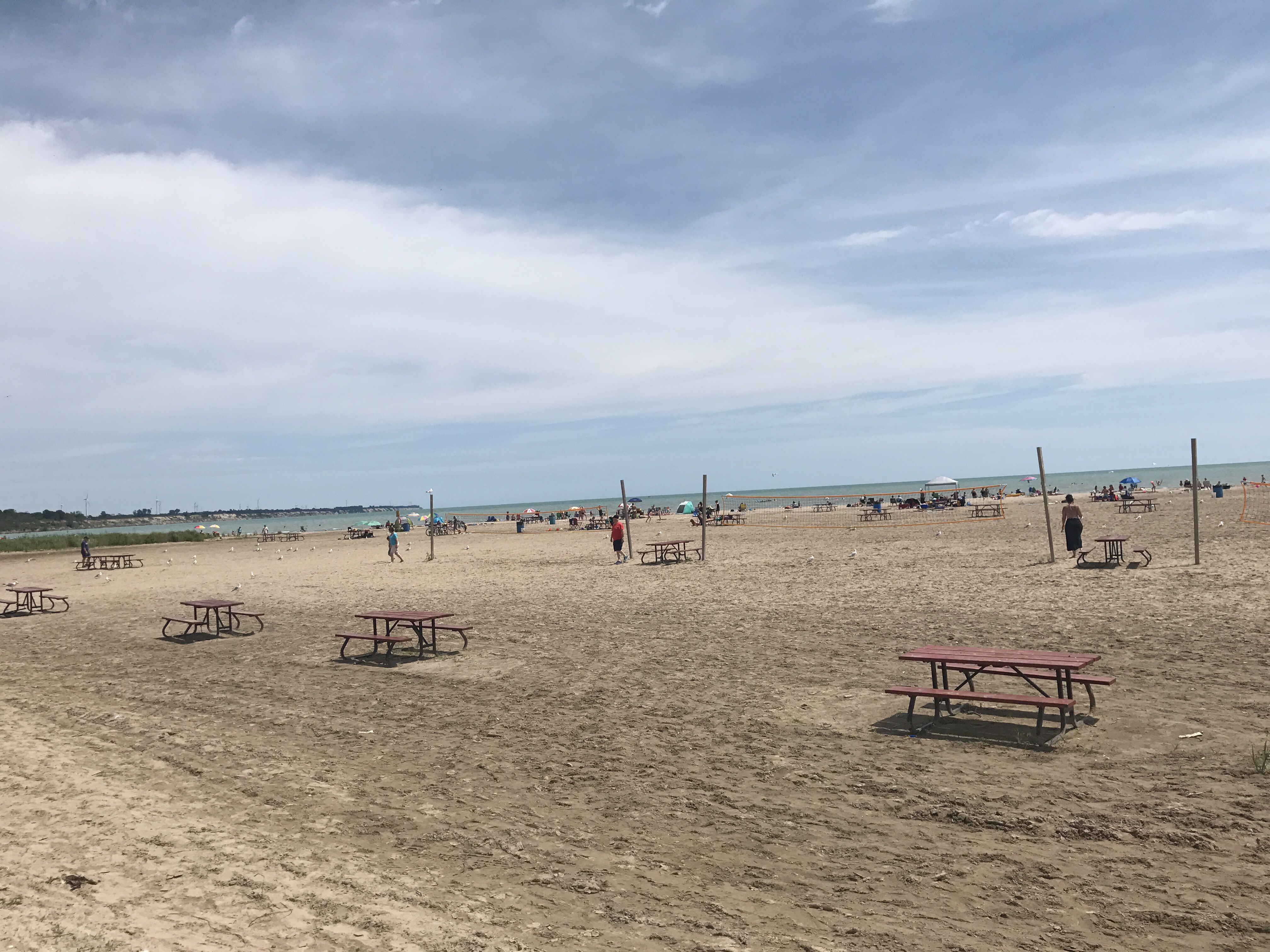
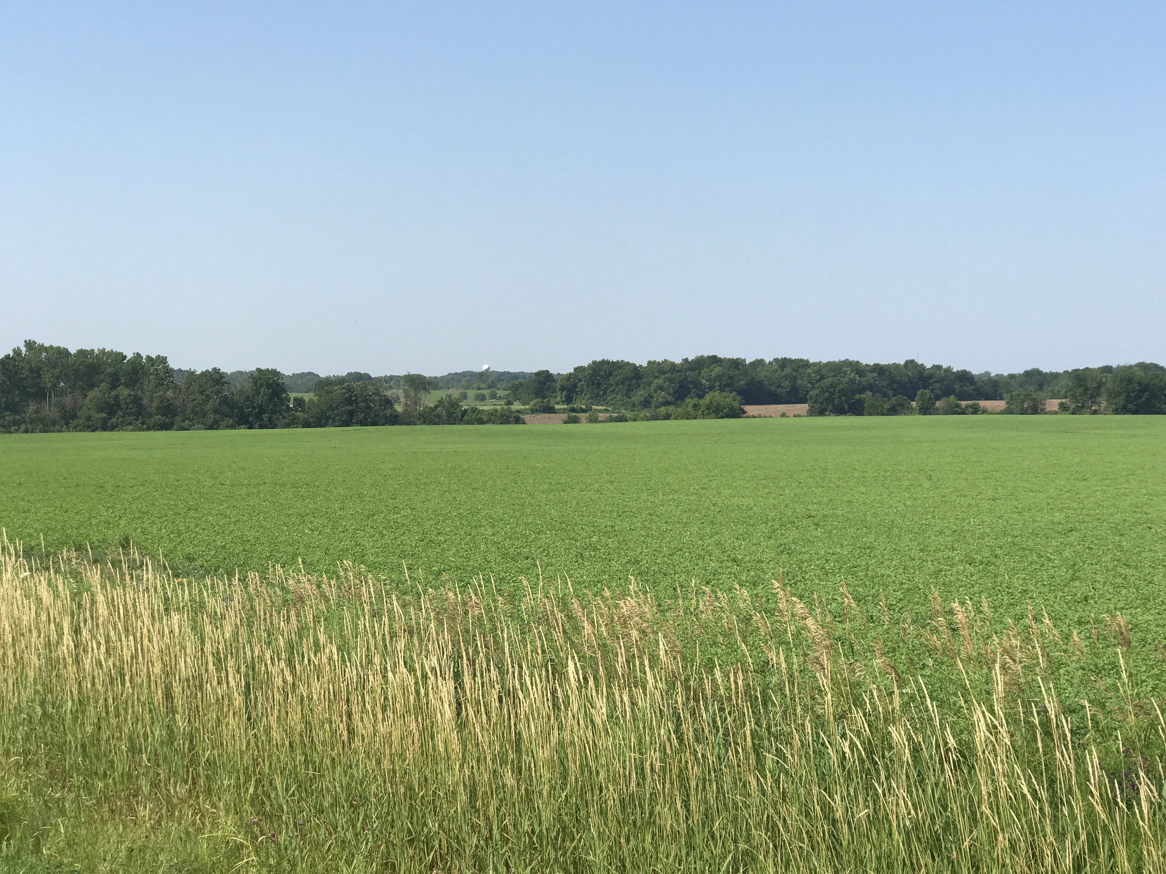
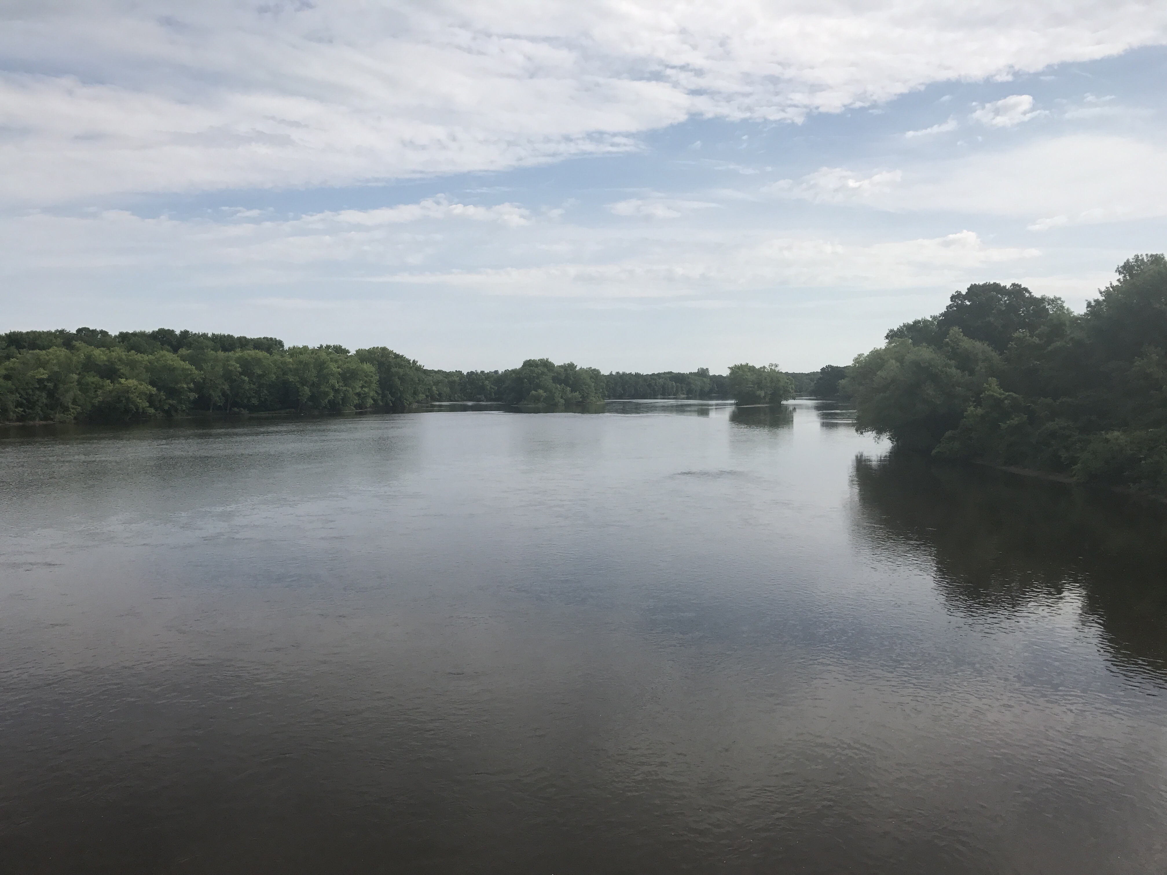
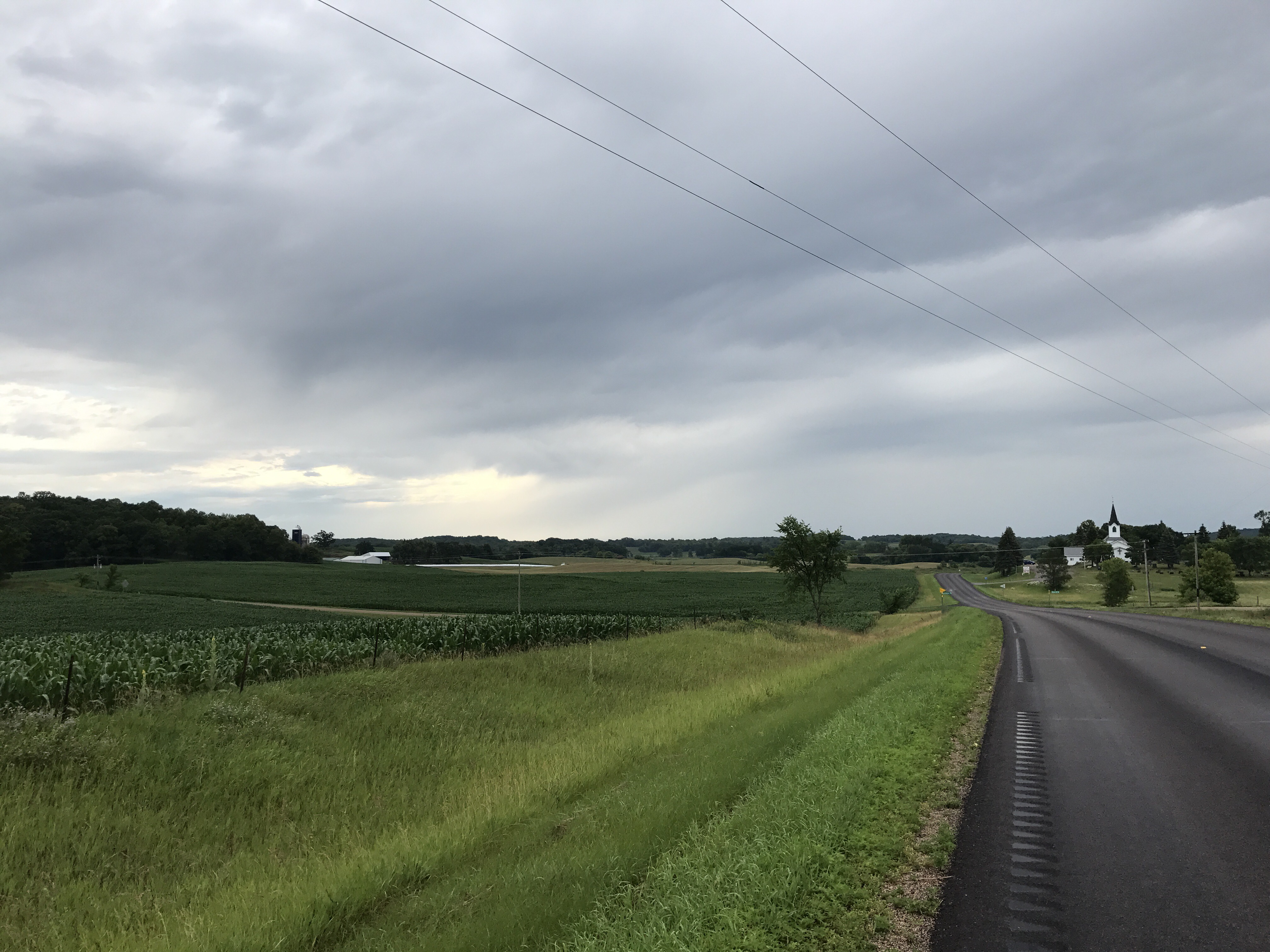
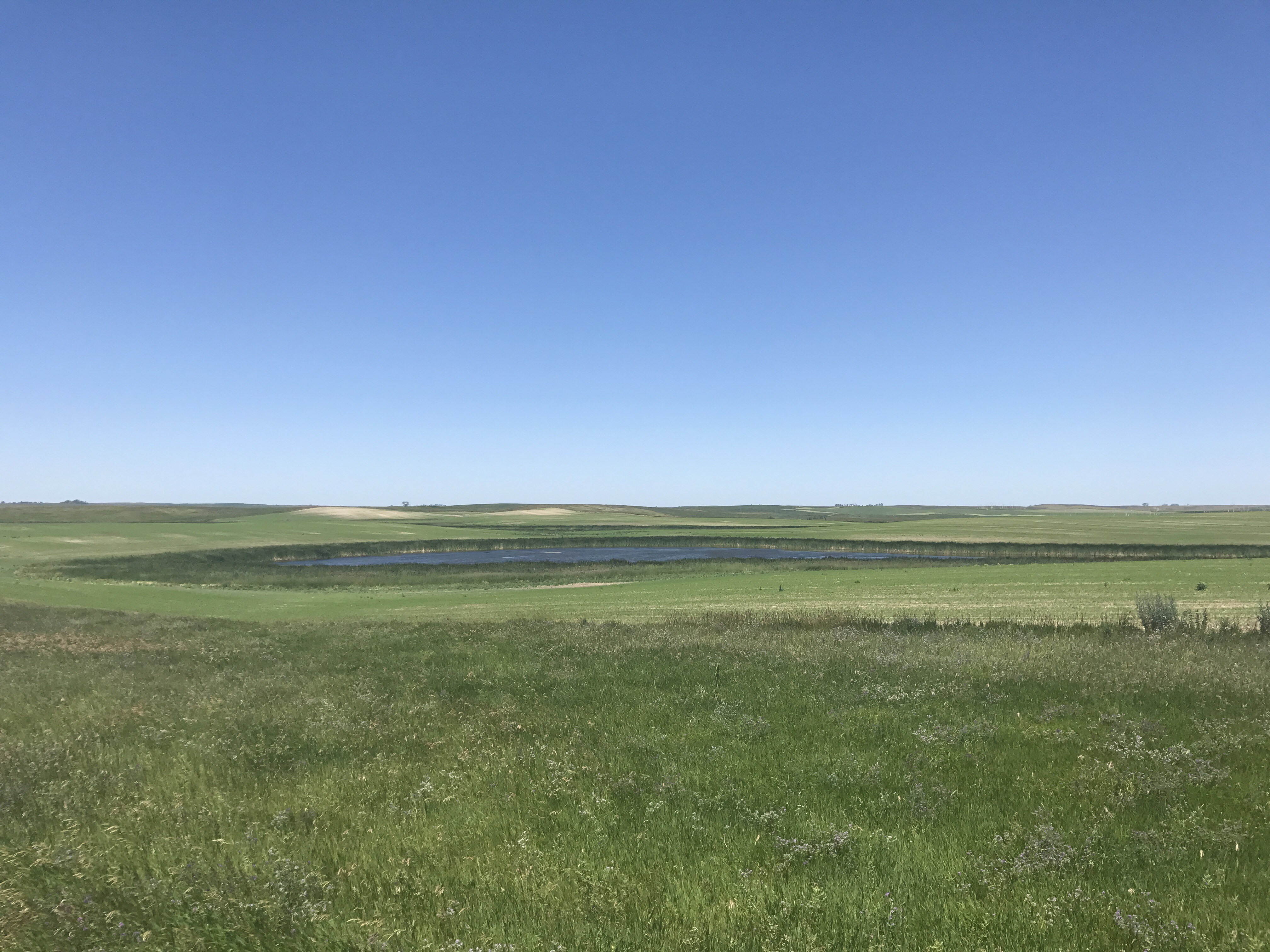
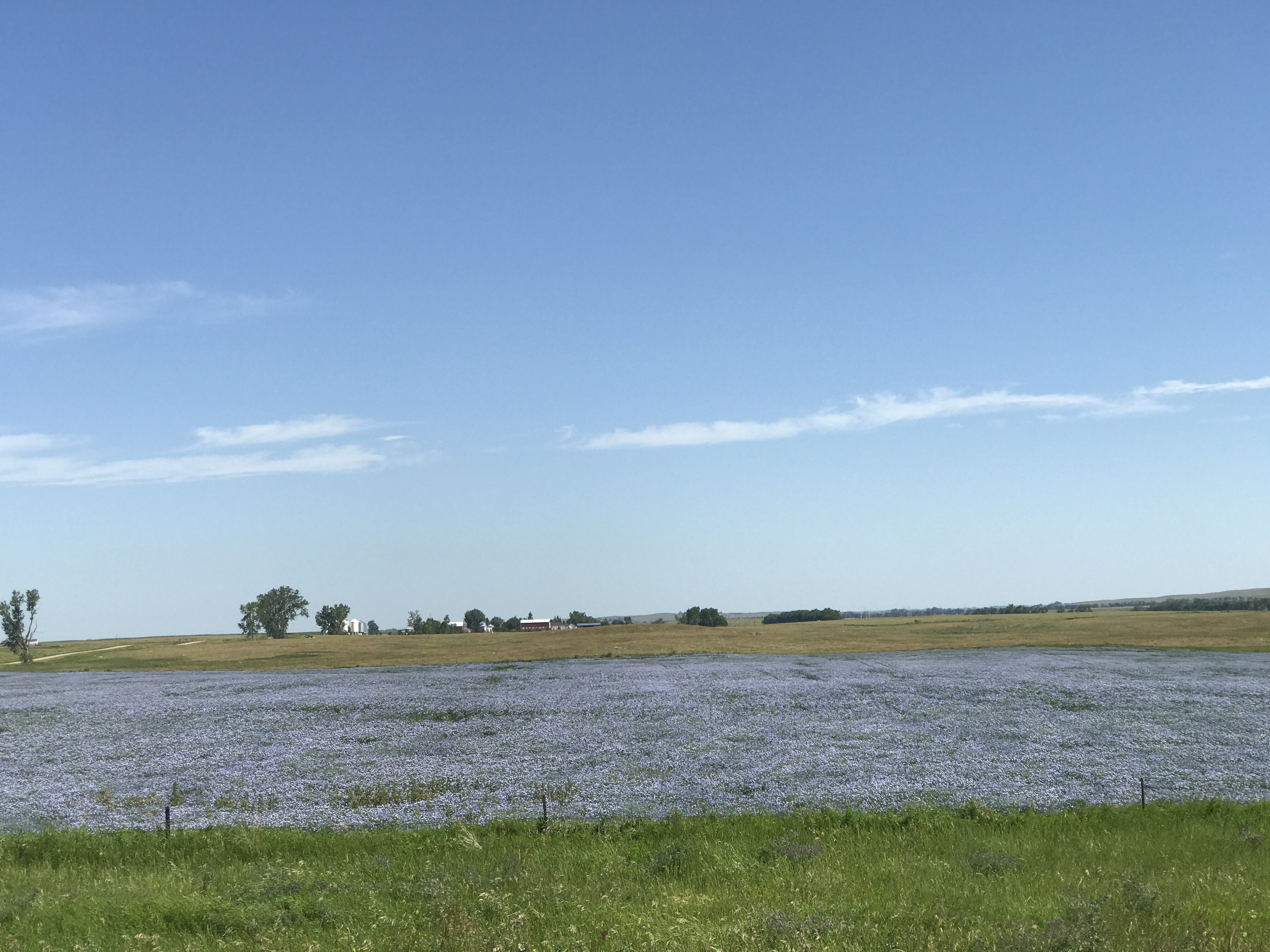
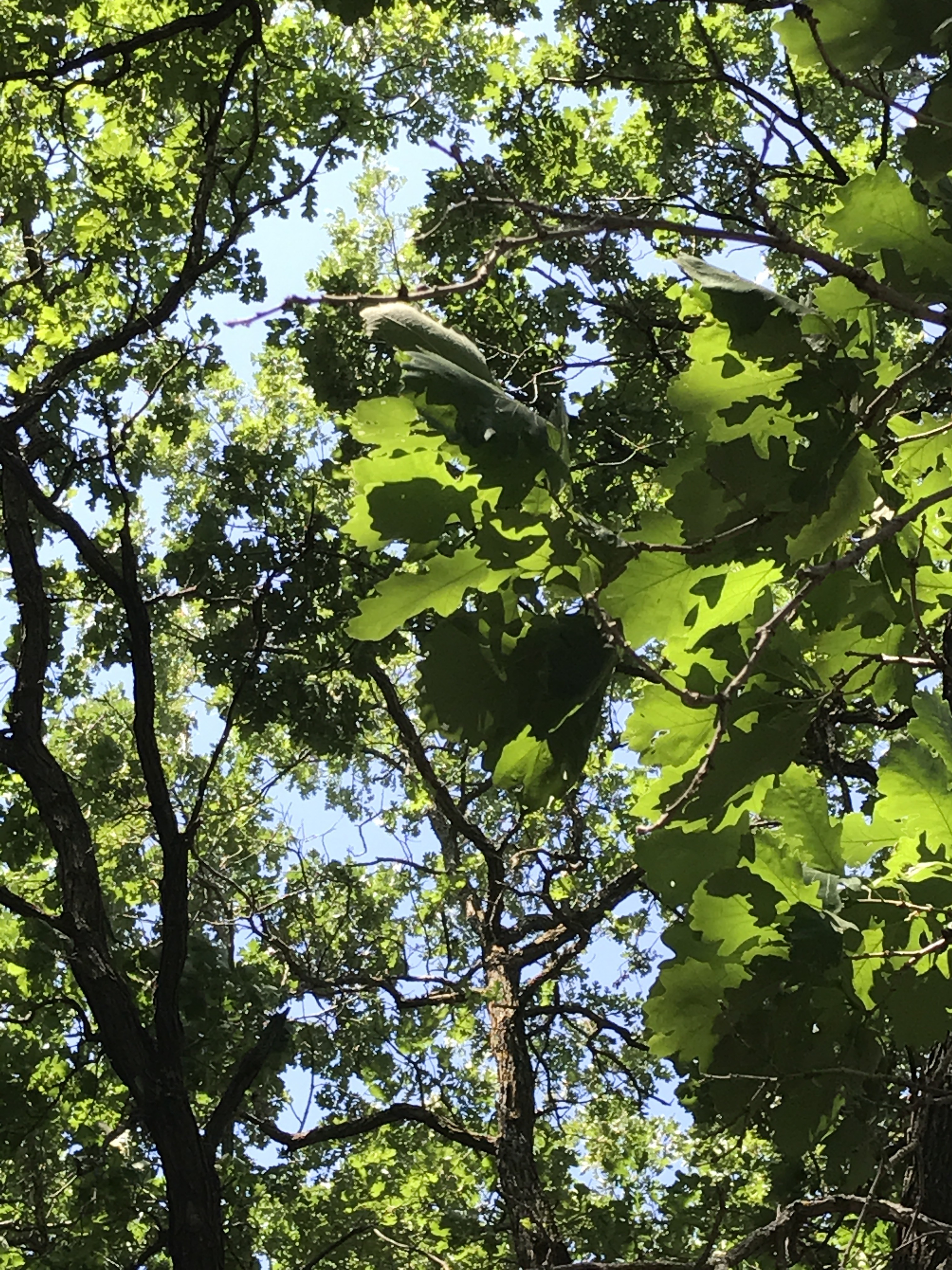
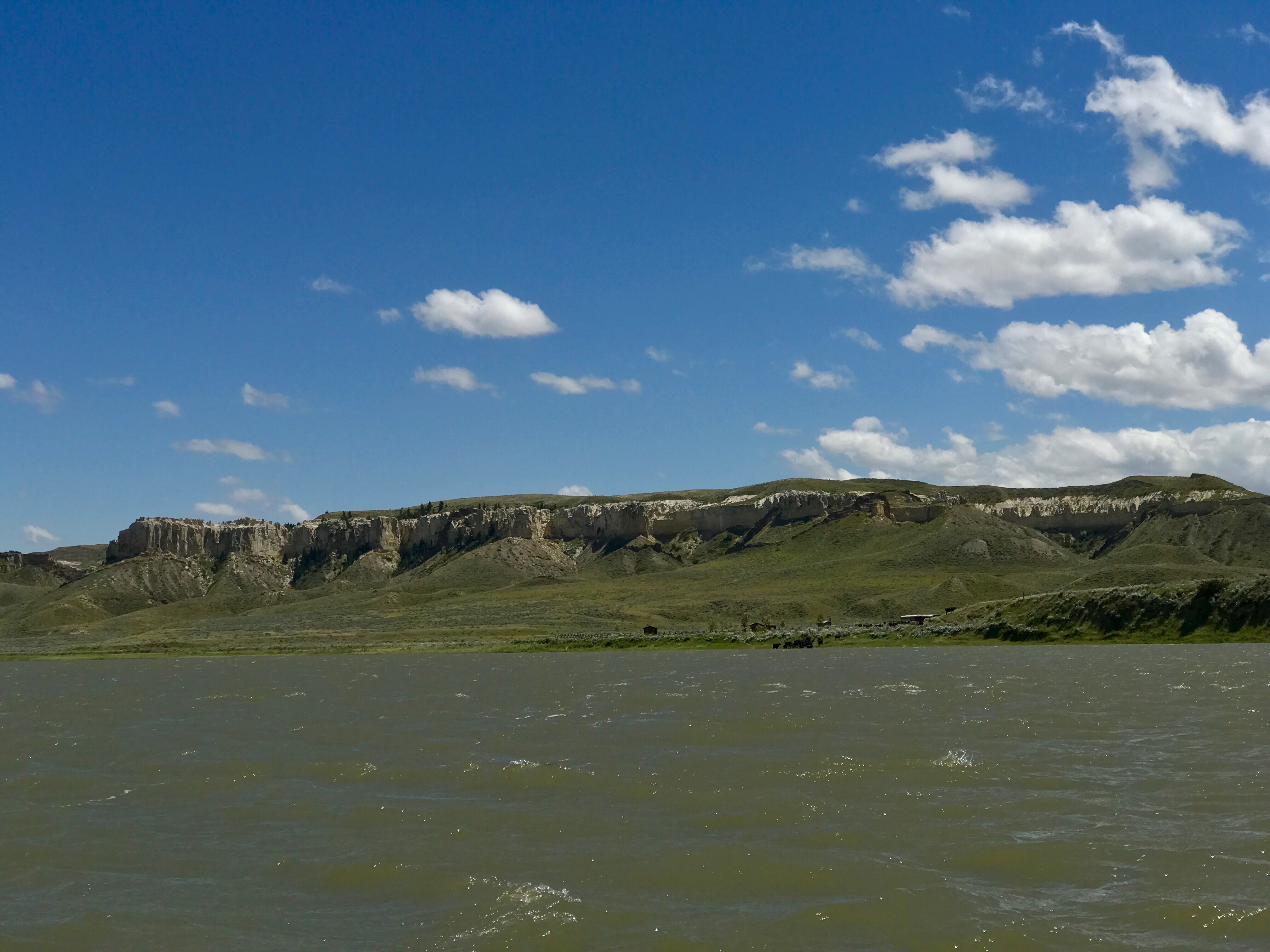
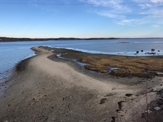
How easy it was to run the miles to Yarmouth. I could stop to take a photo whenever it charmed.

IMG_2769IMG_2772

IMG_2775

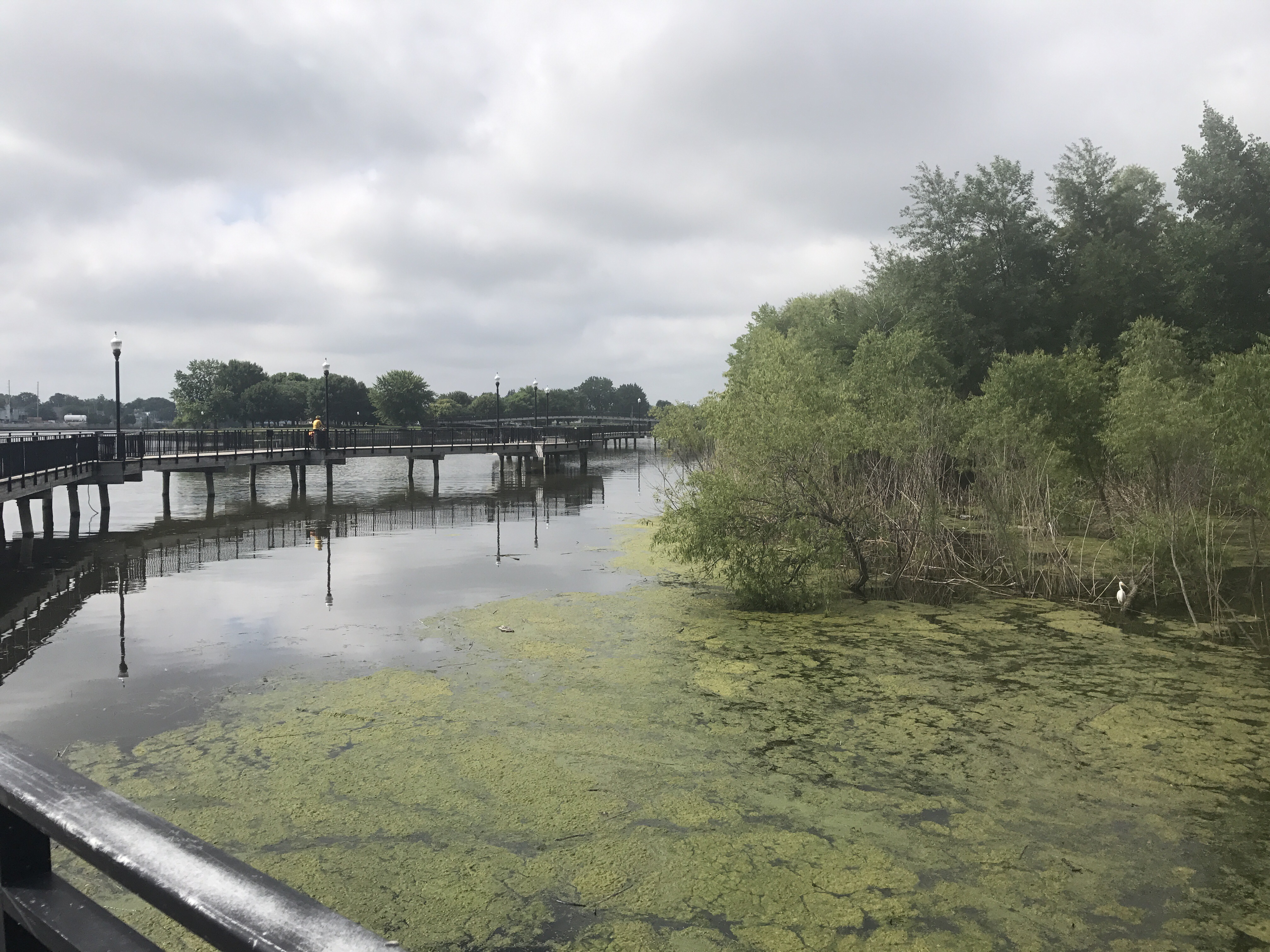
When I needed a pit stop, I could see reason to linger, but I pretended this was actually a race.

IMG_2792

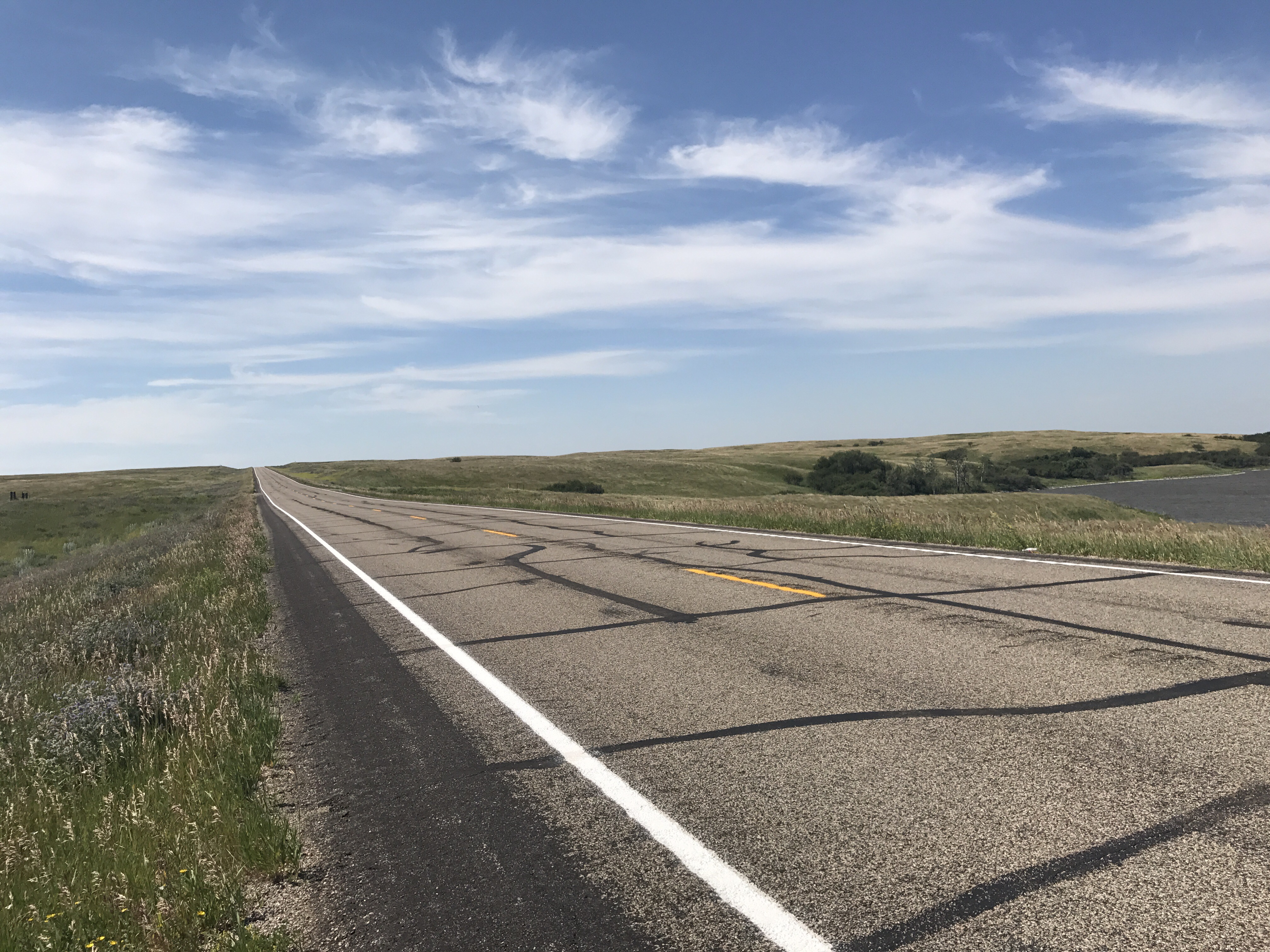
Ten miles went by with no trouble. Maybe the whole 13.1 would have been fine, but there was the matter of getting up Blueberry Hill. That would normally not be any problem, but after all those miles I was getting tired. I started to feel the ceiling was lowering. I’ve learned that this sensation comes when my blood sugar is down. Luckily I had planned for this with my all purpose remedy, a handful of almonds in my pocket. After the Blueberry Hill ridge the rest of the route was downhill. I passed a dog walker who somehow didn’t cheer and apparently did not realize that I was the leader of a half marathon a mile from the finish.

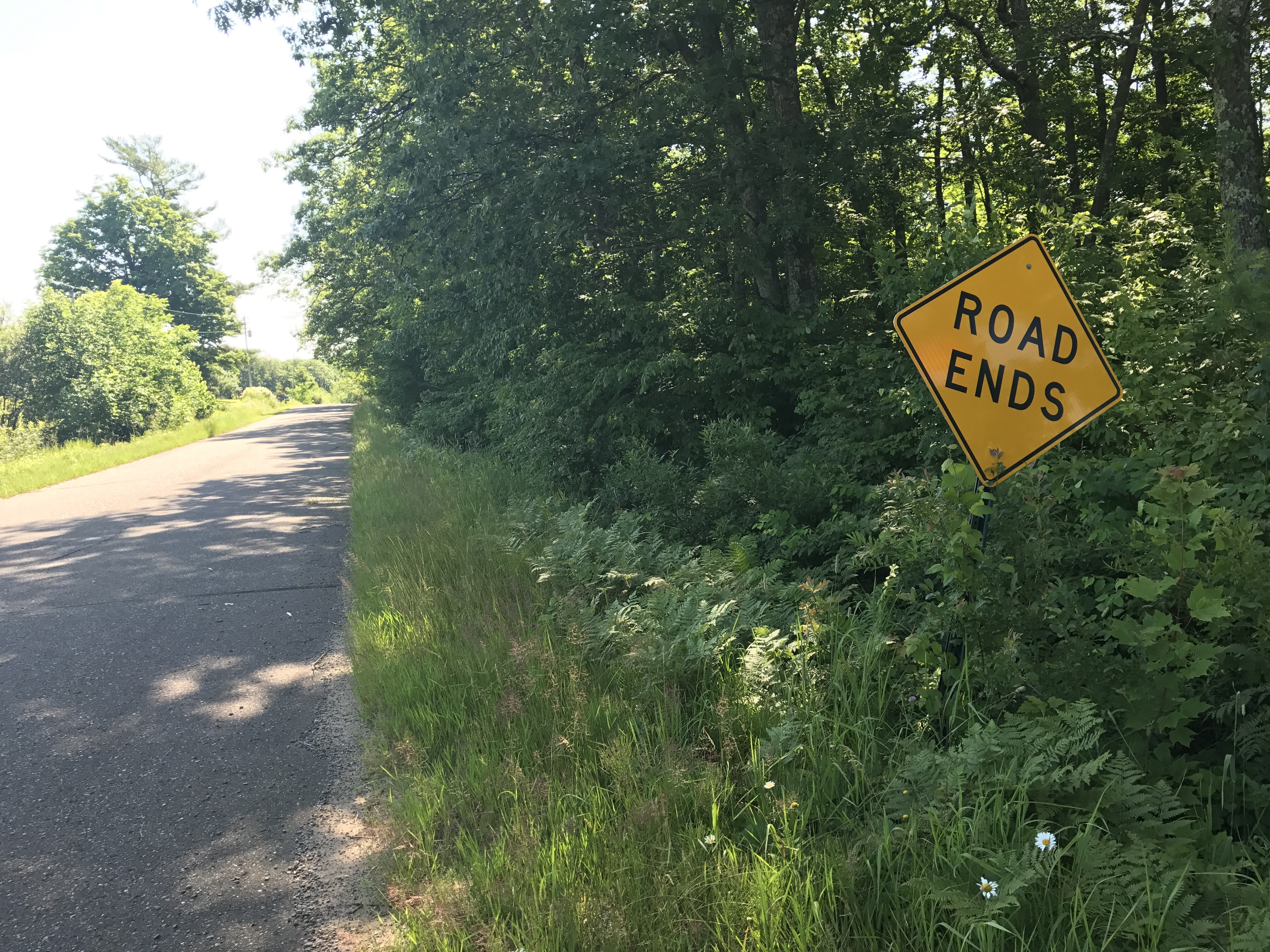
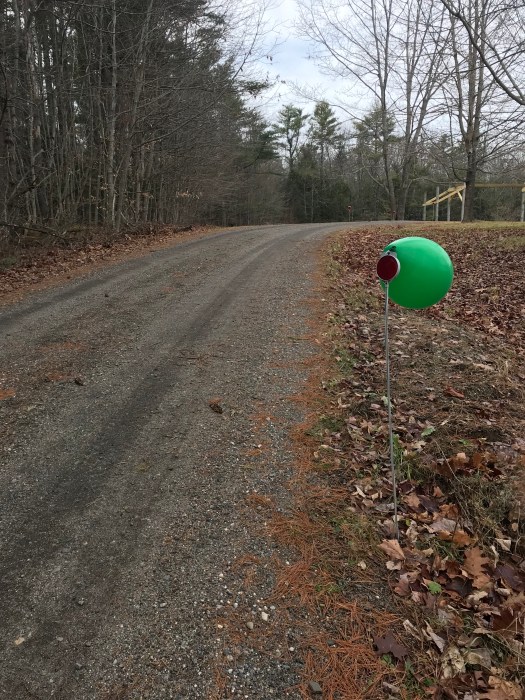
Turning in to my driveway felt pretty darn good. I considered how it would feel if I had to turn right around and run back for a full marathon, and it didn’t feel impossible.

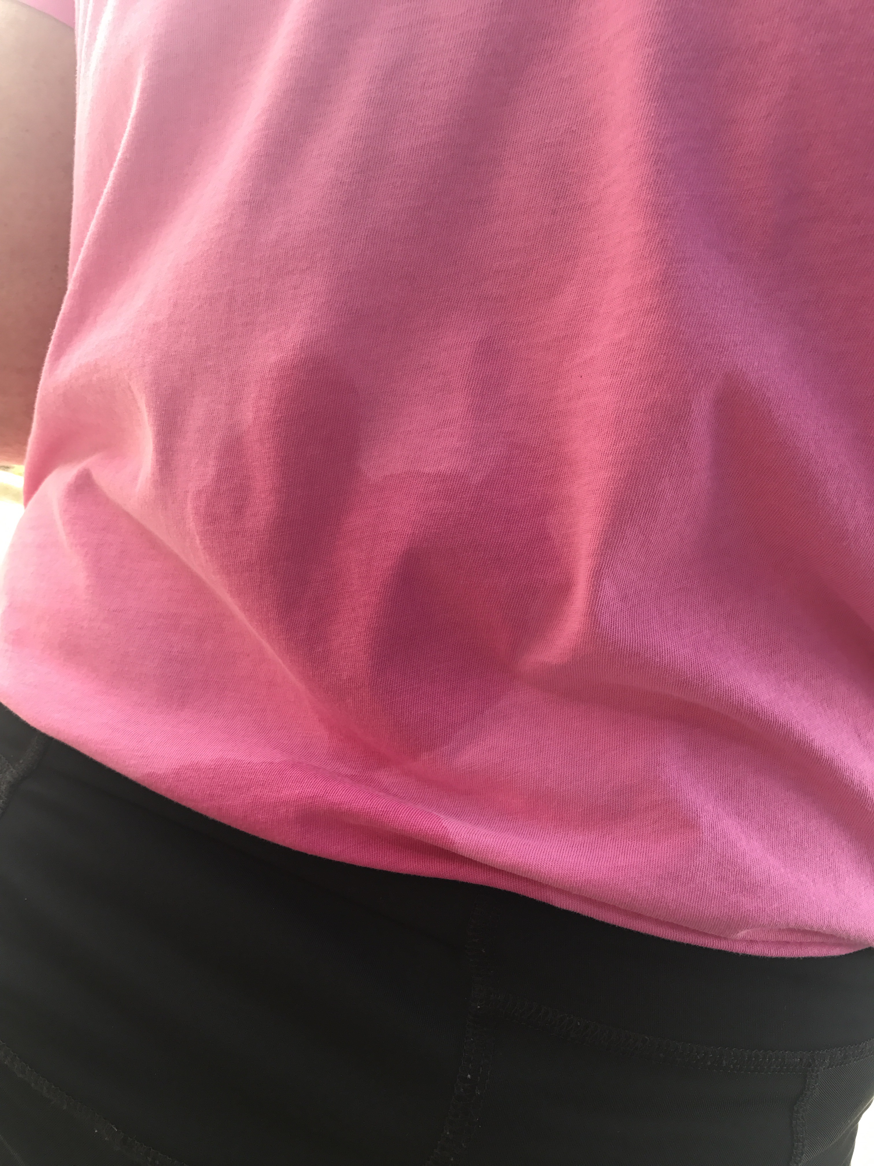
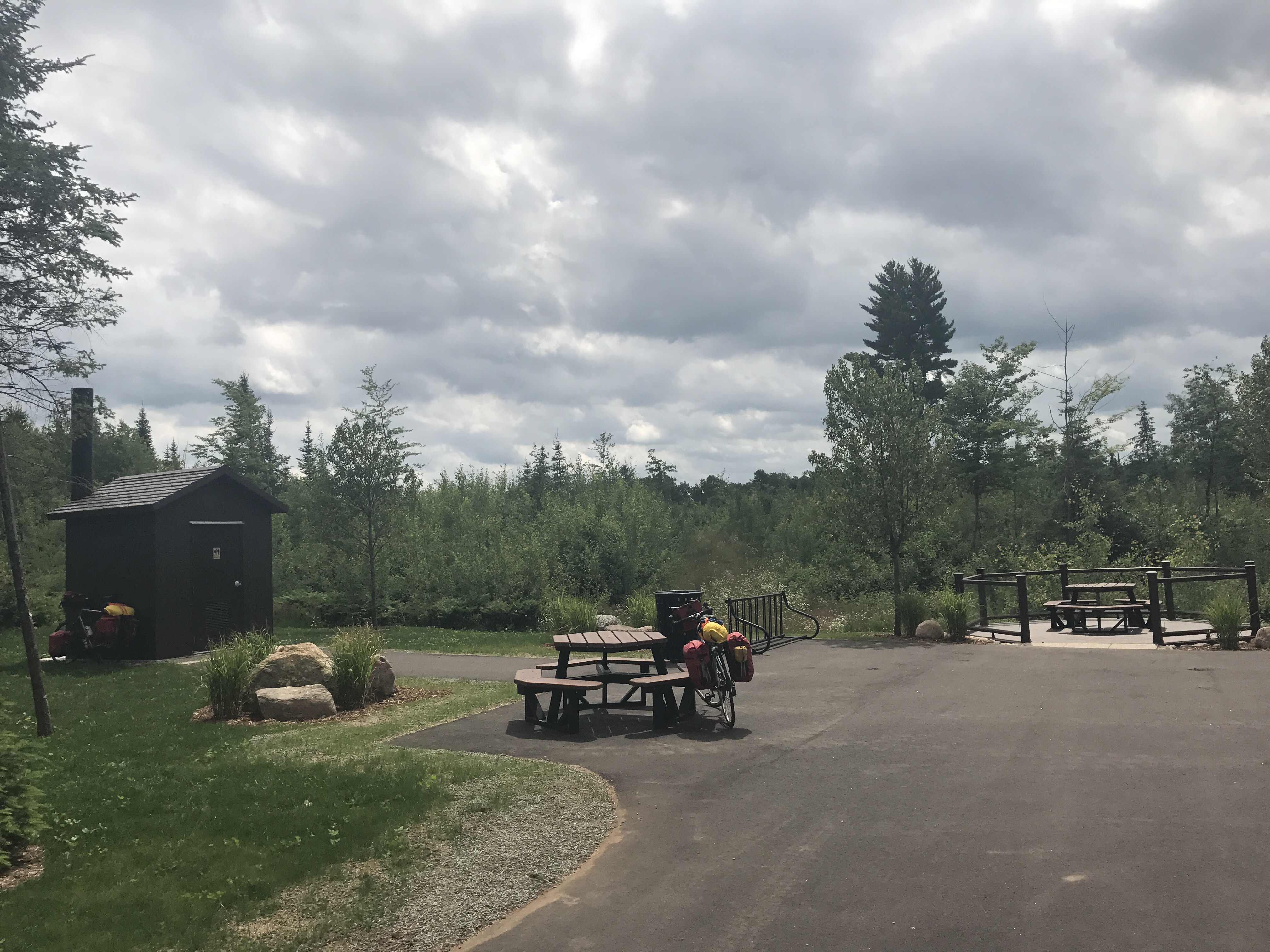
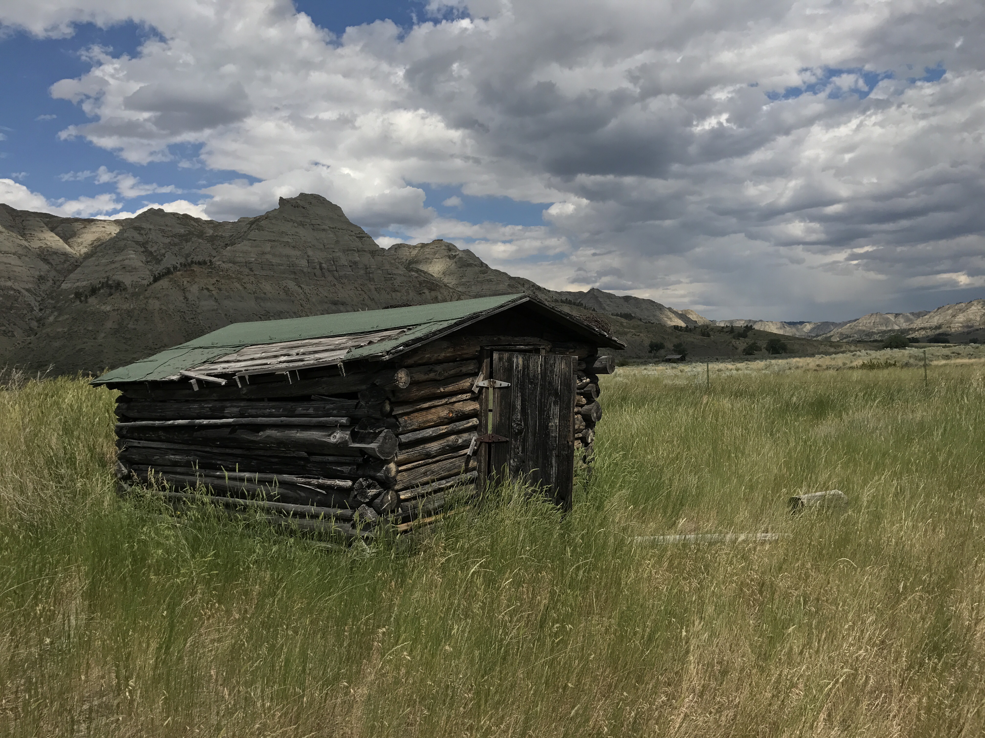
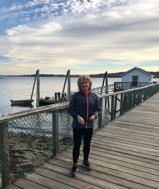
The prospect of a shower and lunch was reward enough. But look at this finish line! How fun is that.

IMG_2798

Now, a couple of days later, I feel eager to get back on the road. I’m hungry from all the running, and it’s enjoyable to eat for at least a little while without feeling the pounds sliding back on.  I’m so glad to know that running this distance isn’t all that hard. I’m interested in investigating some other long routes.

Many people run half marathons. Do they merit cheers and hoopla for running ten minute miles? I’d say the hoopla is fine if that’s what works for motivation. I probably wouldn’t have run this distance without the Millinocket race on my calendar. But now I feel I don’t need an official race. It just feels good to run a long distance. Still, I confess feeling that I missed something by not going to Millinocket. The race reports are fun, and I can’t claim to have been there.  When can I sign up for 2018?

Mile 3801

We finished our ride on a day of bright sun and wind at our back. The sixty miles from Bethel to home went by in time to let us stop at the farm stand in Gray to pick up corn and cucumbers for lunch. Though we were traveling workaday Route 26, we delighted in every landmark, including my favorite misspelling.


A 3801-mile-wide grin was on my face as we turned into our driveway. Kim had put congratulations signs on the trees. As my high school didn’t have a soccer team, I have never before had my name affixed to a tree. Grass was growing in the driveway, the first clue that no one had been home for a while. “Scruffy” was the word that came to mind as we cranked up the last hill.  Thank goodness nature takes over if left alone. But the tall, prickly weeds going to seed in my front flower bed were an insult, and I started pulling them even before taking off my bike gloves.

Our first move was to answer a long-standing question by weighing the bike loads. Mark was carrying 47 pounds of gear on his 24 pound bike, plus four water bottles. I was carrying 29 pounds of gear on my 19 pound bike, plus two water bottles. We had met a biker in Montreal who kept exclaiming how hard it would be to pedal carrying a load given that road biking is all about shaving bike weight. This man really wanted to go bike touring but just couldn’t jump in. He kept saying he’d have to find someone to do it with, he wouldn’t know what he was doing, how would one get off the superhighways, etc, etc. Go out for just a weekend, we said. Then go further next time. Eventually you’ll start thinking about cycling from Paris to Moscow. Joan, I just know you’re going to do it.

As for me, for a few weeks of the trip I thought it unlikely that I’d ever go on another long bike tour. I’m hungry for a different kind of adventure that allows longer stops, closer looks, and a deeper immersion in the natural world. Now that I’ve been home for 36 hours, I’ve been asked, “Was it wonderful?”  No, it was a mixed experience. I’d say Mark’s primary motivation was to cycle all day. I was somewhat interested in having my body accomplish that, but my bigger motivation was to see the landscape change. The daily thrill dwindled to occasional moments of interest once we were in territory that looked like home, starting in Minnesota. The daily routine got boring. We got so practiced at packing up that we’d finish our preparations in the same order and in matching amounts of time.  Oh, his socks are still on the picnic table, so I have another 30 seconds to look at my phone. However, in the last few days of riding I started imagining a few other bike trips I might do. I’d like to finish our crossing of the American South. We’ve ridden from San Diego to El Paso, but Texas and the South are mysteries. I’m also interested in riding the length of Maine in one go: my Route 11 project. Who wants to come along?

I’d say I’m unwilling to leave Maine in the summer for so long again. It’s just so interesting and beautiful here in the summer that enduring the unpleasant months that are the price for living here means you should make the most of the summer and fall.

I also am unwilling to eat so badly for so long again. As Noah observed, we had to bike across the country to find a place with vegetables for dinner. Bike trips are fresh food deserts, as you’ve heard me harp. Little stores can’t carry a lot of perishables. But it’s amazing that even if you eat at restaurants you can’t get your five-servings-a-day. We saw many menus that offered only variants of burgers and fries. Going into Whole Foods in Portland yesterday I was struck that the prepared food island had more vegetables than we saw in all of North Dakota.


Beyond vegetables, the hardest thing to find on our trip was plain milk. We have created a culture where we presume everything is better with sugar added. Tea with milk should be pretty easy to get, but stores would carry only chocolate-flavored, vanilla-flavored, caramel-flavored, strawberry-flavored, anything-flavored except for un-flavored milk. (Getting boiling water for my tea is another chapter. How dispiriting it is to receive water in a pot with the teabag on the side, or water in a thermos carafe filled an hour ago. I did survive though.)

Spending most of every day on a bike can’t help but work some changes. One’s muscles get rearranged. Now I’m all quads and no hamstrings. After a couple of weeks of biking my quads felt like they would pop out of my skin, but then my legs settled into a low level buzz, wanting to be pedaling more than staying still. Mark lost 20 pounds. That shocked me: are we at Cindy’s dreaded “crossover” where I weigh more than my husband? Thank goodness I lost some weight too so we aren’t at that point yet. But there’s this: https://youtu.be/r6KtxuuWeiM

Another aspect of months on a bike is the pleasure of spending so much time outdoors. One gets to feel trapped just going into a building. So many times at restaurants we were the only ones choosing to sit outside. I will never understand this. Why would one sit in an over-air conditioned room furnished with numbing but mesmerizing images flashing on a TV when instead one could be out feeling summer breezes and sunshine? We slept better when we camped because cheap motels bring plastic bedclothes, a mist of cleaning products, and a twenty minute cycle of second hand smoke when the neighbors take another cigarette outside. I wish we had been able to camp more. Anna did this trip not only by herself, but camping every single night. I salute her fortitude. We just weren’t tough enough endure buggy bushes and no water to rinse off ourselves and our clothes.

Beyond the physical sensations of this long trip, we’ve had the chance to look at a cross section of the entire country at a moment in time. Coastal rainforest –> high desert plateau —> prairie grassland —> midwestern former forest/now farmland —> northeastern forest. We’ve traveled from where the raccoons are brown and the squirrels are black to where these animals are grey.


The biggest impression is that almost all of this land has been altered for human use. We have occupied the entire expanse and converted the mixed forests and the native grasses to tree plantations, grazing land, crop land, and cities. I must admit to a deep sadness and a fear that the remnants that remain are insufficient to sustain the continent’s biodiversity given our current politics. The scariest sign for me is how few pollinating insects we saw. There’s lots of wind, so wind pollination and self pollination will continue. The seed companies and industry will find a way for human beings to survive on corn and soybeans. But that’s not the rich and beautiful world we should be passing along to our children. By coincidence my book group chose Annie Proulx’s novel Barkskins for September. As I made my way west to east, Barkskins described the removal of the forest in this same territory from east to west in a tale of a Mi’kmaq and a European immigrant and their descendants over 300 years.  I urge anyone to read this story to understand how we arrived at the landscape we see today.

There are a leftover tidbits that don’t fit anywhere in this final post but that I didn’t want to leave out.

1. It’s hilarious to camp next to someone teaching his dog bad grammar. “Lay down! Lay down! Lay down!”

2. Michigan has a stunning number of roadkilled opossums. They are picked clean, with skulls ready to be collected by my naturalist friends.

3. Montana has an unintentionally lewd road sign, which I will email you if you contact me.

Finally, I’d like to give some thanks.

To Mark, who matched my enthusiasms and moods during the trip, solved bike problems, and stayed patient almost every time I stopped for a photo.

To Bob, who handled our mother’s medical issues this summer.

To Anna and Sam, who gave us a wedding to think about.

To Caroline, Greg, and Sally, who tended the vegetable garden and were a caretaking presence at home.

To you, who motivated me to dare to try out a blog.

To vultures and carrion beetles, who eliminate the dead animal smell on the roads.

And now for some catching up.

Why would you do that?

When we crossed from Quebec into Vermont and explained that we had ridden our bikes from Oregon, the border inspector had just one follow-up: “Why would you do that?” I answered,  “Good question,” and he waved us through. I’ll be thinking about his essential query on the final day of our trip tomorrow and in the days to come as long as the trip spell holds.

The last few days into Montreal, down through Quebec, into Vermont and New Hampshire, and now in Maine have been delicious. We’re sick of cycling and are eager to get home, but this stretch has been undeniably interesting. We’ve had headwinds, hills, and rain, but we aren’t much bothered as we’ve developed some toughness in these two months+ of biking.

I keep smiling to myself. We are in landscape I love, and we get home tomorrow.


A few days ago, after a foggy start, we had the wind with us as we followed the north shore of the St. Lawrence River toward Montreal.

At a picnic table just beyond the Quebec border, we talked with some local cyclists and got great advice how to get across the St. Lawrence by hopping through the islands upstream of Montreal. How lucky we were to talk to them because Google Maps’ biking directions would have taken us right into the city and then across the big, scary bridge I always dread when driving.

Chance meetings with local cyclists have taught me a lot on this trip. I credit a big jump in my confidence in traffic to a cyclist who came riding beside us while I was white knuckled on a four lane road with no shoulder. He was chatting away as the trucks and cars passed close beside us.  He asked questions and told us how cool we were to be riding across the country, a conversation we certainly enjoyed. I told him I was scared on this road, and he said, looking over companionably, “Oh well, if you’re going to bike here you have to be in traffic sometimes.” Hunh. Right! I decided that with my flashing rear light and orange helmet I was plenty visible, and the vehicles were indeed giving me enough space.

We found our way over the St. Lawrence islands and bridges. At one point the route took us right on top of a dam on the St. Lawrence Seaway.  Looking down at the water rushing through in terrible races, eddies, whirlpools, and holes made me feel sick. Please, Noah and Hania, never think of kayaking here. I have a video, but for now this inadequate photo will have to do.
Once on the south side, we found a remarkable, cheap hotel in Chateauguay that was a cross between a monastery, conference center, and hostel. Though one had to hold one’s breath in the staircases and elevators to avoid the mold, the location overlooking the St. Lawrence was sublime. I spread our long-wet tent to dry below a statue of Virgin Mary.

Escaping the fast-growing Montreal suburbs on the south side of the river was slow and hard to figure out. There were bike lanes on most streets; the municipalities have obviously long commited to encouraging people to bike. We even got sick of the bike lanes. Where there’s little traffic, it’s faster on the street because all the driveway crossings slow the bike lanes and because steep concrete curbs that would be fine for mountain bikes but are tough on more delicate wheels. I kept imagining my roadbike wheels suddenly collapsing on a curb too far. However, once we found Quebec’s “Route Verte” bike trails, we were fine.

It’s astonishing how many signed bike routes there are in Quebec.  Many routes bring many bikers — it’s a big tourism success.


The routes can be separated bike lanes along highways, rail trails, or bike paths wandering through countryside.


Once again I felt that a bike route in a tunnel of trees is pretty darn boring, but every once in a while there’s something to wake you up.


Bikers were everywhere. Our “gite” (inexpensive hotel) in Waterloo had a Welcome Cyclists sign, and the nicest facility in town was the bike information center. Especially in Quebec given its separatist streak I was glad to see the beautiful decorations the town had made to celebrate Canada’s 150th anniversary.


Quebec has a sense of humor and a sense of design.

We discovered that our French is extremely rusty. Caroline says that I’m just not used to the Québécois accent, but I can’t blame the accent for my misreading a menu and then having to go to bed hungry because I thought my dinner salad would be more than just lettuce. I did renew my delight in the delicacy of French terms around car repair: dépanneur, pneu, pare-brise, essui-glace, pot d’echappement.

The suburbs finally gave way to beautiful, rolling farmland. We had some tough riding in strong headwinds.

We passed through Magog and enjoyed the views of Lake Memphremagog.


Finally we saw the cleared corridor that is the USA’s northern border.

Though I much enjoyed Canada, I was thrilled to cross the border. I had a surge of feeling that my home landscape is truly the hills, forests, and rivers of Vermont, New Hampshire, and Maine. With the perspective of long absence, I realize how rare our corner of the US is in having relatively clean rivers, extensive forests, and much land still unclaimed by agriculture and development.

With our legs now adapted for cycling, Dixville Notch and Grafton Notch were easy climbs.


Coming into Errol, NH, from the north was really fun. I’d always come from the south for paddling practice on the Androscoggin River. We were happy to see the rapids and even to be able to watch someone dump, as you see in the distance in this photo.

Maine has welcomed us with rain and headwinds, but we know that there’s a price to be paid for living here.

We’re starting to think what will be the first order of business when we get home. Here’s Mark refueling in Errol and contemplating trading his bike for the lawnmower.

Last spring when we estimated how long this trip would take, it seemed impossible that we’d be back before September. We thought we’d average 60 miles a day, a distance that we considered comfortable with a bare bike and a worthy effort with panniers. It turns out that becoming hardened to cycling all day lets us average more than that, and we’ll be home much sooner than we thought. The early arrival gives us a sense of ease and possibility and the chance to enjoy a chunk of Maine’s unbeatable summer. We’ll even be home in time to celebrate Mark’s father’s 102nd birthday on Monday.

I think I have another blog post to do with some wrap up thoughts and random items that I just have to tell you. I much appreciate your following my “blogress,” as Sam nailed it. In a few hours we’re going to forgo the scenic route and beeline down Route 26.  Home!

Upper Hook

The Great Lakes have been lovely, but we are moving on. I will remember the breath of the Great Lakes: rich, heavy, but often carrying a whiff of sewage.


As we cycled along the north shore of Lake Erie, we asked Google maps fifty times what is the shortest way home. The message was always to continue along to Niagra Falls and then take the Adventure Cycling route through New York, Vermont, and New Hampshire. I have some questions about Google Maps’ algorithm. A perfectly good alternative is to trace the north side of Lake Ontario and travel along the St. Lawrence River and then down to Maine, with the advantage that you avoid three mountain ranges and you see Canada. Another puzzle is that no matter what towns we entered into Google Maps, the route would suck us up into Montreal, an urban sprawl we were sure we wanted to avoid. We couldn’t decide and couldn’t decide. One day we met a young couple cycling the other way with heavily loaded bikes. They were from France and didn’t speak much English. I asked where they were going, and the woman said “The world!” They were taking two years to bike across Canada and down to South America. Their only references were highway maps. We realized we’d be just fine finding our own way. And then Brigitte very sweetly sent an email extolling the vitues of biking in southern Quebec. We decided commit to cycling the north shore of Lake Ontario and then down the St. Lawrence River to Cornwall, Ontario. Once there, we’d figure out the rest. It’s been fine:  we like being in Canada, and we’ve had little trouble patching together a route. 

This map is all I have: we don’t progress along it very fast because it’s at such a small scale.
 Mark has his phone mounted on his bike stem and thus took over as navigator. Following a digital map isn’t ideal: sometimes he swerves around the road while fussing with the phone. We’re using a great app: MAPS.ME. Thank you to Noah and Hania for introducing us to this free, open source tool. You download granular maps for no cost when you have wifi, and then as you travel a pointer shows you where you are. The app doesn’t eat into your cell phone data, consumes very little battery, and works even when there’s no cell reception. 

We committed to this Canadian route but started off with a mistake. We tried to take a shortcut from Port Dover on Lake Erie to Hamilton on Lake Ontario. Every truck in western Ontario must have been on that road, and there was no shoulder. We braved most of the way and then simultaneously freaked out. Fortunately there were lovely country roads just off the busy road, and we jogged and jogged our way into Hamilton. The next morning was frightful too, unfortunately. Hamilton includes an escarpment that drops precipitously to Lake Ontario. Our descent on a double lane highway with no shoulder left me shaking and blubbery. But then, wonderfully, we got to the lake and the marvelous Waterfont Trail that follows the shoreline all the way through Lakes Erie and Ontario and along the St. Lawrence. The route is a patchwork of dedicated bike trails, country roads, and occasional busier roads. There are signs, though occasionally some are missing. Some of the sections are just roughed out. Here we are skirting a nuclear plant. (I was astonished how close they let you get to this string of nukes on Lake Ontario.)

Every time we’d see a Waterfront Trail sign, we’d cheer right up. Here’s a doubly pleasant sight. How easy it is for towns to make cyclists feel appreciated just with a sign.

It was thrilling to catch our first glimpse of Toronto.

Toronto was very busy but also very bike friendly.


For all the delights of the Waterfront Trail, home is calling more and more loudly. Suburbs extended 50 miles east of Toronto, and we grew impatient with the jigs and jogs the Waterfront Trail has to make around housing blocks and commercial strips. We started looking for the direct route. Sometimes that has meant a charmless big road, but we’re clattering along anyway. Oshawa, Napanee, Kingston, Gananoque … Mark is not one for stopping. At food breaks we check our phones for how many miles til Maine (and for who’s in and who’s out at the White House). Tomorrow we reach Cornwall. The end is getting close: we can certainly do this. When we pass an Enterprise Car Rental office, I no longer have to suppress the thought that we could just pick up a car and get along home.

You’re welcome

We cycled across Michigan, so now you don’t have to. Corn and soybean fields, check.  One bit of excitement is that now the corn we’ve been watching grow for the last 56 days is forming ears.


A local told me there’s a glacially formed ridge across Michigan providing hills, but we must have been dozing when that went by. Michigan was flat. One thing we couldn’t ignore was the cold, wet summer Michigan has been having. At Otter Lake, a nice afternoon turned into a tempest at dinner time, making us dive into the tent and hold onto the poles to keep them from breaking in the intense wind and downpour. When the rain eased we came out to start dinner, but another storm moved in and make us dive into the tent again. This time the ground couldn’t absorb any more, and the campsite flooded. We found out that our beautifully lightweight and roomy Big Agnes tent is fantastic now that we’ve had so much experience setting it up just the right way, but that it doesn’t float.


I don’t advise starting a cycling day when it’s going to rain all the time.


Reserving a motel room for the end of the day does a lot for one’s spirits.


One day we cycled along, lost in our thoughts, when the soybean and cornfields gave way Frankenmuth, an imitation Bavaria. It’s very popular. I was a good sport and ate a bratwurst.


There was some good polka dancing going on (which I’ll post if I ever get enough wifi connection).

A sweet girl tending the carriage horses noted that the sweat stain on my shirt was shaped like a heart, appropriate for Frankenmuth.

We tried to get a glimpse of Lake Huron in Bay City, but the shorefront was blocked by houses, and we were unwilling to bike the extra two miles one way to the state park on the lake. I did get a good look at the invasive purple loosestrife in full glory on someone’s front lawn, and, as a result, rampant in all the ditches and fields from then on.


I’m sorry to harp on environmental problems, but spending the day looking at the landscape go by at slow speed makes the conditions impossible to ignore. Across the country, field fertilizer is leaching into waterways large and small and clogging them with algae. Here’s the Saginaw River at Bay City.

Michigan finds ways to party, including this festival in the town of Yale.


We’ve become intimately acquainted with convenience stores. I cluelessly asked why there is so much bagged tobacco sold there and learned that people  roll their own cigarettes to escape the high cigarette tax.


By this time we have figured out what works food-wise. When we camp, the best meal we have figured out how to make in our little pots on our tiny stove is browned hamburger with spaghetti sauce. Chips and Coors Light for appetizers. Breakfast is instant oatmeal, bananas, and yoghurt. Vegetables, absent altogether.  Every time I ask for a restaurant recommendation and then say I’d like a meal with some vegetables, people get a pained look and think hard which establishment might offer a salad. I’ve found that sticking to the same food pattern makes me feel better. On the day we gulped a half gallon jug of juice at lunch, I felt uncomfortable all afternoon. I’ve been trying to find ways around all the added sugar in the prepared foods we have to rely on.  You might think that biking all day we can eat whatever we want, but it just doesn’t work out that way, unfortunately.


At breakfast in Marine City, Michigan, we watched freighters bring coal to the enormous power plant just upriver on the St. Clair River, which flows from Lake Huron to Lake Erie.

We took a little car ferry across and arrived in Sombra, Ontario. The riverfront was lovely, and, true to Canadian form, we saw a canoe in the first five minutes.


We were thrilled to arrived at the north shore of Lake Erie. It looked like ocean except that you could just make out the smoke from a coal fired power plant on the horizon.

I was all ready to jump in for a swim, but the guy cutting the lawn said he had never been in the lake. Wondering why, I saw a sign warning of high bacteria load. Tonight we are further away from Detroit and Windsor, in Port Burwell. People are swimming, so the lake water must be OK here.

We’ve seen more diverse agriculture here in Canada, including this vegetable greenhouse that went on for almost a mile.

There are wind turbines on some of the lakefront, and where they haven’t landed yet, the people try every argument to keep them out.


Tonight we must decide whether we will do the route we originally planned on the north side of Lake Ontario and down through southern Quebec toward Maine, or whether we’ll bike home through upstate New York, Vermont, and New Hampshire. There are no mapped cycle routes in the southern Quebec part, which in some ways argues against that.  (The Bicycle Coalition of Maine is establishing a bike route in Downeast Maine, a good idea, because a researched route is compelling for us cyclists.) The US option would take us over the Adirondacks, the Green Mountains, and the White Mountains: a lot of hills we have already done on other trips. It’s tempting to take the known route through the US, and we are eager to get home.  But here’s the thing. Today we met a charming father and daughter from Camden, Maine, biking east to west on Adventure Cycling routes. The father hinted that following Adventure Cycling routes takes out some of the adventure. We also met a shop owner who says she gets cross country cyclists all the time.  I prefer not to do what everyone else is doing. I’m a bit sick of cycling, and my interest will hold better if we have to forge a route that’s not prescribed. I thought we’d have to flip a coin to decide, but I’m thinking we’ll go Canada in honor of her 150th birthday.

Wisconnnsinnn

The distance across Wisconsin by car from St. Croix Falls at the Minnesota border to Manitowoc on Lake Michigan is 308 miles. On our bikes, Wisconsin was 477 miles wide. The Adventure Cycling maps took us on a scenic, lightly traveled route, much more pleasant, but much longer. It was hilly, and merciless with the headwinds. The landscape is a lot like Maine, but with better roads. By now, however, I must admit that thoughts of home are taking me away from full enjoyment of the ride. After so much time away, my discomfort increases about leaving obligations to others, and, conversely, some happy developments make me yearn to do something else than turn pedals. Still, completing our crossing feels like an imperative by now, a body of work. There’s no recognition for the endeavor, but the chance to observe land and lives in slow procession across an entire country can’t help but shape one’s mindset. We’ll finish if events allow.

Wisconsin has been an education about shortcuts. We started trying shortcuts a few states back but never paid much of a price. Now, finding Wisconsin much like Maine and pulled by events at home, we started looking for some time savers. If you had already seen lots of lovely lakes and had lovely lakes of your own at home, wouldn’t you too be tempted to take the diagonal here along the Couderay River?


Very, very bad idea. We ended up climbing hills and scratching our heads. Then we ended up here:


Cell service was poor, electronics didn’t work, and we ended up spending the day floundering back to the route, mostly on a sun-blasted, feature-less road. But a day of delay didn’t teach us. We tried another shortcut the next day. A third experience finally taught us that the Adventure Cycling maps are good only for the prescribed route on the red line, and not for navigating nearby. Now when we go astray we hope that Google maps and Mark’s electronic Adventure Cycling waypoints can get us back to the blessed red line. Another clue I like is that water towers that always mark the distant town centers. Look for the tiny blue globe above the tree line in this photo.


Wisconsin started at the St. Croix River, cutting through the first rocks we’ve seen since Montana.


At the state park along the river, there had been a violent storm, and a utility pole had broken off. There was no power and thus no water, no toilets, no showers. $25 for a tent site was no bargain.

We biked through swamps and the lovely Chequamegon-Nicolet National Forest. This photo includes the dragonfly that is protecting me from mosquitoes.

This is snowmobiling country. There’s are thick white bands painted on the road to protect the asphalt from studded skis.


Many of the roads were particularly beautiful because there were no utility poles. On this stretch the electric cables and fiber optic cables were being buried underground.


The cyclists in that photo were locals who host long distance cyclists in their home through a website called Warm Showers. We do the same at home. When I mentioned that we had seen no other cyclists since leaving the Northern Tier route, they were surprised and said they had just had cyclists staying with them for six days in a row. They mentioned a couple of guys from Austria, and it was fun to realize that we had met those same guys in North Dakota.
We rode on the nicest bikeway I have ever seen. I have to show you a few photos because we felt like royalty.


The bikeway must draw a lot of people, because at the end of the day we discovered that every lodging option was full. This was a low moment of the trip. I like to know in the morning where we will stay that night so that we don’t get caught short. The previous evening as I was scouting out the days ahead, Mark had argued, a little too forcefully in my opinion, for not getting tied down with plans.  The next day when we ended up with no place to stay, it was an I-told-you-so moment, but I admit I was a tad over the top in my umbrage. We had to clatter along for another 15 miles, which wouldn’t have been so bad except that I had been thinking a hot shower and a bed were imminent. We tried one state park campground, and of course it was full on a Saturday night in July. We tried the next one, and, to my deep relief, there was a spot for us.  No need to stealth camp in the woods with no water, and mosquitoes at their peak. This state park was fantastic, with a sandy beach and, as we learned, “only 1/32 of the shoreline is privately owned.”


Once back in farm country, I was happy to see some field edges left unmowed, and, sure enough, wherever there was milkweed, there were Monarch butterflies. Throughout the trip I’ve been keeping count of rarities good and bad. So far I’m up to eighteen Monarchs, five Kestrels, and three guys in pickup trucks announcing their outrage at our existence with a horn blast and expressive acceleration.

Though we have yet to experience falling rain during the day, Wisconsin has had torrential storms. The fields are over saturated.

This condition is a stark contrast to North Dakota’s, where by this point in the summer extreme drought has the farmers hoping the rain will just continue to stay away so they can get federal disaster relief.

After so many miles in Wisconsin, I’ve come to appreciate the unique road naming system. County roads have letter names, either single, double, or triple, depending when they were built. Plain but practical. I hoped to find road ZZZ. When we do end up on busy stretches, for example to find a motel if there’s nothing on the route, it’s unpleasant biking. However, at one awful spot where it looked like we’d have to ride on a busy divided highway, there was a bikeway sent from heaven (and from many persistent advocates, I’m sure). The bikeway paralleled the strip or chain stores that had spring up between two towns. The road was ugly, but the bikeway was well used by walkers, runners, and cyclists. Imagine such a bikeway connecting Portland and the Maine Mall, a very nasty stretch for bikers now.

Every little town has a bar; few have a shop. We’ve learned to get a cold ice tea at the friendly bars.

Almost every mile offers something interesting.


I like the one below. The government building is probably about the size that our governor would favor. Susan, would the ACLU have something to say about the decor on the left?

Now we have reached Manitowoc on Lake Michigan. Our motel was right next to a museum about the twenty-eight submarines built here in WW II.

We found a nice bike shop, and Mark did some repairs by the lake.

We’re taking the SS Badger ferry across to Michigan this afternoon.

One last thing: Louisa is a trooper. She has lost her tail, but she’s still with us. We haven’t given her the freedom that Meri had; we’ve tethered her with a hair elastic. Otherwise she would have hopped off in North Dakota.

I understand. It’s been a sweaty ride. We are ready for four hours of sitting on the ferry, and then Michigan.

Go Blackbirds

We’re in the middle of the middle.


Today we crossed the Mississippi River, full of Huck Finn-ready islands even this far up.


A few days ago, the transition from empty, treeless North Dakota plains to landscape that looks a lot like home was almost instant. We crossed the Red River border into Minnesota, and within an hour we were in a hilly landscape of trees, fields, and lakes.


We found that summer is the time for road repair, to the chagrin of cyclists trying to follow directions. We learned to go around “road closed” signs except for the time we were daunted by a deep layer of fresh chip seal gravel.


We learned that it’s hard to find a place to plunk your tent in vacation country, and we were happy to return to lower key RV land.


Our route across Minnesota’s narrow waist has been mostly on rail trails. Two and a half days of tree tunnels got a little boring, but we did make fast progress. My hat is off to Minnesota for buying and paving these rights of way, which are well used by bikers, walkers, and runners. 


Being old railroad lines, the routes run right through the center of every little village. Some places have seized on the trails to invite bike tourism. Here’s a bike tool stand in the middle of town.

Some towns have fixed up the old train stations into community centers and cafes, and some even let you camp there.

At one point on the flat rail trail we passed a sign saying “Continental Divide.” The trail was on the line where waters flow either south to the Gulf of Mexico or north to the Arctic.

With more settlement and more population here, there are more roads, and thus we usually don’t have ride on thoroughfares with big trucks. There’s less roadkill on these smaller roads, though there’s plenty anyway. It’s arguably bizarre to keep a roadkill tally (I do know this, Tess), but it’s evidence of a sort. Deer and raccoons are the main victims, and we don’t give those a glance. A sign on the summer’s advance is that don’t see dead fledgling birds as much as we did farther west. Today was our first roadkill Blue Jay and first Brown Thrasher. One thing I’ve never seen as roadkill despite it’s being almost everywhere we’ve ridden: Red Winged Blackbirds. May they inherit the earth. I’m wondering what form that earth will take. We see almost no insects. There are none on the small number of flowering wild plants in the few uncultivated spaces that are left. Finishing the book The Beekeeper’s Lament, I can’t see how our agricultural practices will leave any insect-dependent plants and birds at all.

We do see some nice live creatures once in a while. I think I saw an otter crossing the road today. Twice we have seen and heard Sand Hill Cranes. I suppose they are common here, but they are exciting to me, so here’s my not very good photo.


I am writing this in a motel that’s a nice refuge from tonight’s expected drizzle, something that we haven’t seen for a month. Mark is the good one, doing his yoga.

Before the trip I worried about the idea of being with anyone for every minute, day and night, for so long. It’s OK. Most of the riding hours we’re lost in our own thoughts. Talk time is during meals and breaks, or when there’s some sight to point out. Evening reading gives each of us a little space and a different world to inhabit. Mark has learned he must eat all the time on this trip; that insight staves off grumpiness. We sometimes have trouble over directions when he’d like to figure things out with electronics and I’d like to use the paper map. I can’t help but post this photo of where his Google Maps routing took us a few days ago. 

At least we could laugh. In the end we needed electronics, paper maps, and a local’s advice to find the route. The bonus of wandering was that we came upon this city park, where at first I thought the trees were full of snagged plastic bags.


It turned out to be a crane and cormorant rookery.

I do miss home. I miss friends. I miss my garden (though Sally and Greg, who have been working the vegetable beds, report that the deer have seen that we are away and have eaten everything). Comparing conditions, I’m often reminded of the environmental movement we have in Maine, which has had bad setbacks in the LePage years but has great organizations keeping up the fight. Just look at the bottle bill we still have. All the other states that used to collect a deposit on containers have given in to the bottling industry’s pressures. Where once cans were stamped with a roster of states collecting deposits, now only California, Hawaii, and Maine are still there. Maine is in good company. 

I wonder if you can buy fatheads in Maine. Are there fatheads in Maine? Maybe just a few Fatheads. 

And now the good one and the bad one will go have dinner. There’s the truck stop and the DQ. But “latte” written on a tucked-away sign is the giveaway that there’s a place to eat that will include a vegetable or two.

Eight hours from stupid

I had 50 miles to think about the fact that I had just climbed between railcars to get past an idling freight train. I spent an hour thinking we would get arrested for the deed, and when a car went by with a flashing yellow light and then stopped, I was sure the jig was up. (It turned out to be the mailman.) Some workplaces advertise how many days it’s been since the last injury. It’s been eight hours since I last did something very stupid.

Today we had 78 miles to bike til the next town. Yesterday evening, some cyclists going the other way had waxed ominous about the segment we were facing. There were other eastbound cyclists staying with us as well, and everyone got up early, nervous about the stretch because we had all been fighting easterly headwinds for days. But in the morning, Old Mother West Wind smiled on us once again. We flew down the highway, making great time til we came to a railroad track with a freight train blocking the crossing. A line of trucks indicated that the crossing had been closed for some time. Mark and I took one look at the crew fiddling about way down the line of freight cars and decided the best thing to do was to lift the bikes over a coupling. Two other bikers had been stalled for 20 minutes, and they agreed that we could do this deed together. 

Those two had just finished their first year of medical school at U Conn, so they were no dummies. The bikes went over OK, but it was a little scary climbing over the coupling. As I was scrambling, the railroad workers started shouting “Good way to get yourself killed!” But the bikes and people were over moments before the train blew its whistle and started forward.

On the other side watching our performance was a pack of bikers lounging in sports chairs in the shade of a cargo van. It was the sag wagon serving the mid morning snack for a cross country Ride for MS.

One of the MS riders chatted to me about their ride. I said they probably wouldn’t be doing what we just did. “You got the conductor’s permission, of course,” she said. When I said no, she had nothing more to say except “Ride safe!”

We hear “Ride safe!” from many well meaning people.  I’d say that except for this train escapade, we have been riding extremely safely. The better incantation would be “May the cars and trucks ride safe!”

Now that we have left the Adventure Cycling’s Lewis and Clark bike route and joined the Northern Tier route, we see many more cyclists. Sometimes Mark can be fixit man for them, as he is for me. Here he is in Enderlin, North Dakota, replacing a fellow traveler’s spoke on Main Street. 

While Mark was doing his magic on the spoke, the town librarian came over to say she was had the job of welcoming people to Enderlin, and she filled us with facts about North Dakota history and law. Now I know that North Dakota has long had a flat tax: 14% of what you pay in federal income tax.  It’s a simple and progressive formula you fill out on an index card.

Because we are approaching the midpoint of the route, we see bikers from both directions who started biking at the popular time we did. It’s fun meeting everyone. Our trip doesn’t feel as big a deal when we meet others doing something similar or even grander, for example the guy who is biking a big U: across the north, down the Pacific coast, and then back across to his mother Florida. At first we saw many Europeans, who started a bit earlier or bike a little faster. I love that all these cyclists from Europe get a good look at the open spaces and generous spirit out here.
As far as generosity goes, last night we witnessed something remarkable. In Gackle, ND, Jason and Ginny Miller offer the Honey Hub in their basement studio apartment. Cyclists can stay for free and use the shower, washing machine, microwave, and wifi. 

Here’s the deal. Look for their reason at the bottom.

The bookshelf held “Honey Stinger” energy bars and gels for sale, as well as this book:


I started reading and found the book just wonderful: a well written profile of John Miller, who supplied beehives to farming operations in California and North Dakota. Our generous hosts were the son and daughter-in-law who had taken over the business after the son left his job at Apple. Their four little kids bounced on the trampoline with the neighborhood children while we went to sleep in our tent on their lawn.

Something is right in the town of Gackle, and not just the Tastee Freeze and the “False Hope” fitness studio the Millers set up for the townspeople to use for free.

The countryside has gotten greener and flatter. We are starting to see “potholes,” little lakes that formed from blocks of ice calved from glaciers. After so many weeks in dry country, it took us a while to believe these lakes are natural.

Sometimes what looks like water is actually a field of clover.

Aside from the cottonwoods along the Missouri River, these Bur Oaks in our river bottom lunch spot were the first naturally growing trees since Lolo Pass in Idaho.


There an older couple foraging for mushrooms stopped to chat. He was a retired professor of meat science. She was a historian. I got to ask my burning question: how do you stand the wind in North Dakota? They don’t.

I learned that this land is good topsoil over moisture- holding clay, and thus excellent for agriculture.


It’s cooler now, with highs only in the 80s. No longer do I lose the ability to shift gears when the heat stretches out my bike cables in the afternoons. We hope to be blown to Fargo tomorrow. And then, even tomorrow night, MINNESOTA!

100th Meridian

Tomorrow we’ll cross the 100th meridian. This map has been on our minds.


The dots represent rainfall: less than 20 inches per year west of the 100th meridian; more than 20 inches east of it. The air suddenly feels familiar, as it it is smearing moisture on one’s skin instead of sucking moisture out. There are still no trees except planted specimens in windbreaks and city parks, but the tended trees are big and lush instead of trying to expire. I saw the first backyard vegetable garden today. It’s exciting to enter our home half of the rain map. Now we will put the fly on the tent, and we won’t expect our washed biking clothes to dry out overnight.  The other big deal about the 100th meridian is that now we are between Bismarck and Fargo. For us, that’s about exotic as it gets in the lower 48. How’s this for exotic:


We’ve crossed the Missouri River, our guide for many weeks. Now it heads southeast, on to St. Louis, while we stay north.


North Dakota has been a bit hard to love, I confess. First, our route is often on the Interstate.

Adventure Cycling’s route used to cross North Dakota though Williston, about 75 miles further north, because the area was less traveled, and one of the company’s goals is to bring business to small towns.  However, intensive fracking in Williston means heavy truck traffic, and the absence of a road shoulder makes for unsafe biking. Adventure Cycling rerouted to this more southerly crossing. We sometimes ride on a lovely and quiet country road, but when that turns to red dirt, the map puts us back onto I-94. 

Biking on the shoulder of an interstate highway feels illicit, but it’s allowed, and it’s actually not dangerous because the shoulders are wide and mostly free of debris. In the North Dakota there are rumble strips in the shoulder perpendicular to travel and extending almost to the edge of the pavement. That is a definite nuisance, but luckily most strips end just short of the edge, so you can slip past without going over the washboard.

My next complaint, given that I have the complaining stick, is that we’ve had strong headwinds or crosswinds every day in North Dakota. All you can do is put your head down and pedal hard. You see even more roadkill that way, unfortunately.  I see many creatures I recognize, plus a few new ones.

The land is cultivated on every side. The farmers bale up even the grass in the strip between the road and the field fences, surely scooping up the baby birds of the ground nesters who are using the only spot left to them. My head down against the wind, despairing of man’s using all of the land except for the little we have put into parks, I got to thinking my next read will be E.O. Wilson’s book that makes the case that in order to preserve the wildlife entrusted to us, we must leave half of the earth to nature. 

We are so deep into Red State territory that my voice feels tiny. The bartender the other night said “If Hillary had been elected we wouldn’t have been able to keep doing any of this.” I admire people making their livings and their lives in this empty, treeless land where strong wind is a constant. But as I stare down at the road, head down against the wind, I can’t help dwelling on what the bartender wanted to be sure they could keep doing.

First, fracking. Here’s a fracking well just going in, and one in operation.


Then there’s ethanol. Here’s the plant just down the road from our motel. At first I liked the plant’s smell of maple syrup and strong sour dough, but one grasps very quickly what a burden this dominating odor is for the town. The motel owner sighed and said the wind usually blows the other way.  (She also had a memorable explanation for why we shouldn’t bother to lock up our bikes: “Everyone here is too fat and lazy to want to use those things anyway.”) 


The white in the front of the ethanol plant is bags of corn stacked up to keep the plant running through the winter. A train track runs is there to provide the coal for the cooking the corn. Mark had some choice words about the efficiency of fermenting and distilling corn with coal to make fuel.  Here he is in front of a coal train.

With the federal ethanol incentives, farmers plow every available spot, and there is almost no milkweed left for the Monarch butterflies to use on their migration. Can a butterfly find this patch when the next one is thirty miles away?

One more thing I thought about is the practice of attaching Indian names to alterations we have made to the landscape. The impoundment behind Garrison Dam on the Missouri River is named Lake Sakakawea (Sacajawea). Apparently three sections in the adjacent state park are named for the Indian villages that were inundated by the lake. Today we went through a suburb of Bismarck named for the Mandan Indians.

Enough whinging. Getting oneself across a continent on just muscle power is a great opportunity. At the very least, the view from a bicycle seat of all the variety in the states inspires wonder that we all exist under one government. 

Today, Independence Day, has been a good time to contemplate this achievement. Bismarck was holding a big parade. I felt such tenderness for the little girls from the Bismarck gymnastics academy waiting on float #62 for the parade to start.

Mark didn’t want to stop to watch. Sylvie, you have seen this: on bike trips we aren’t good at stopping for anything except photos, roadkill, and snacks. But he was right — we had many miles to go before the next chance to camp. As it turned out, today we rode 81 miles, with a crosswind and temps in the 90s. We found out we still can get totally wiped out.

This feels like the middle of the trip.  We’re old hands at the job. The elastic in my bike shorts is giving out, and all the gear is grimy.  We’ve learned that a town park with a water spigot and a portopottie is a good camping spot. Too bad the restaurant in town was closed for the Fourth. Dinner was hotpockets microwaved at the convenience store. And so, good night.

Breaks with Snakes

We’ve covered 150 miles of Montana by canoe in our trip down the Missouri River Breaks National Monument. 

I recommend this trip: it’s easy, beautiful, and full of interesting history, geology, and wildlife. The trip is deemed a “float” trip because the strong current usually allows one to travel down without much paddling. The river was full and fast, and for a couple of days we had a gale force tailwind. It was at at times a trifle scary as the current and wind were so strong one had to set up the canoe well in advance to avoid getting caught in a fallen tree or tipping over on the point of an island. It was impossible to paddle upstream to fix any mistake. Say goodbye before you jump in for a dip. Those conditions aren’t typical, though. I think the Missouri Breaks would be a great family trip, with one caveat: how comfortable can one get with rattlesnakes all over the place? Here’s one cuddled up right next to the footpath down to the shore at one of the campsites. 


One afternoon Mark was reading in the tent under this big Cottonwood tree when a four foot snake traveled along the length of the tent under the groundsheet. 


We liked hiking into the sites off the river, but we decided against doing the recommended hike from the spot Lewis and Clark named “Snake Point.” I’m certainly overstating the danger. A hiker told me I’d have more chance of winning the Powerball than being bitten by a Prairie Rattlesnake (though maybe his confidence came from the gun on his belt). Still.

I wish every American could take this trip. One finally gets why it was a big deal for Lewis and Clark to make this journey up a fast flowing river to an unknown destination. We had a mile by mile guide that detailed every twitch of the L and C expedition. At one campsite we moved downriver a bit to avoid disturbing an eagle nest, and we ended up putting the tent right where L and C camped. We knew that because we found a commemorative plaque in the long grass — you’re going to know the history whether you like it or not. 

I’m having trouble picking out just a few photos from this trip. Apologies if these are too many, but if you never have a chance to go, at least you’ll have seen some highlights.


Our geology guidebook was great at explaining the layers and formations on the river. Here an unusual form of magma (“shonkinite”) eroded out amid the sandstone.

The black line in the white sandstone is lignite, a form of coal. By looking for this black line, you can trace this dinosaur times epoch of warm, wet climate and lush fern growth. (Peter and Kate will likely correct me.) This region has yielded many dinosaur fossils, including the most Tyrannosaurus found.


You can take some of these ancient compressed ferns in hand, and maybe go try to burn it.


The wildlife was spectacular. We lost count of the Bald Eagle and Golden Eagle nests. Every day, White Pelicans flew in formation like an air squadron surveying our doings. The dawn chorus of birdsong was deafening. I’m still puzzling over the birds that woke me up every morning with a C-E-low A riff that I think is the beginning of a Haydn melody. When the wind stopped in the evening, all the birds would come out for their insect supper: Cliff Swallows, Bank Swallows, and Nighthawks filled the sky. We saw Prairie Falcons high in the cliffs. Though I was sad to have only an iPhone to photograph it all, I was very glad to have brought binoculars. Here’s a Prairie Falcon nest in a spot only they can reach. Look for the white stripe of dung below a little cave in the rock. There are three big nestlings on the ledge. 

We saw bighorn sheep, too many deer and elk to count, soft shell turtles, and this coyote checking out a beaver lodge.

Speaking of beavers, we learned of the mess we humans make, yet again. The dams upstream prevent flooding but in the process prevent silt from spreading over the river banks and forming new seedbeds for Cottonwood trees. What few seedlings do emerge get eaten by the cattle that are allowed to graze right down to the river. That means the poor beavers are left with only big Cottonwoods for food, and of course they  cut them down. Between beaver cutting and the natural lifespan of trees, eventually there will be no more Cottonwoods and thus no more shade along the river. The Bureau of Land Management, which administers the Monument, is trying to protect the big Cottonwood trees from beavers with chicken wire around the trunks.


We used complicated, packaging-intense, expensive “wag bags” for our poop, but meanwhile the cattle defecate all along the river. The black dots you see on the bank at this approach to one campsite is a happy herd of cows standing in the shallows.


I think it’s grazing leases on BLM land (public land, belonging to all citizens) that are the problem. We did see BLM personnel trying to fence cattle off of the river. 

Not all the riverside is public land. Under the Homestead Acts, homesteaders claimed whatever riparian land is flat, and now continue as private land. We saw many decaying homesteads. One glimpse illuminates how arduous it was to make a living off this land.

Most canoeists travel just the middle section of the monument. We shared our campsites with nice people every night there. But once we continued on to the lower section we saw just one other canoe in three days. That section isn’t as showy, but its wild feeling is just wonderful. 

We were glad that our last day was a tough paddle against a strong headwind plus an evening thunder and lightning storm. We didn’t want to leave thinking the Missouri is all float and gloat.

The canoe outfitter showed up with our bikes at the appointed time. We reorganized the gear and started pedaling the 40 miles back to our bike route.

The only lodging options for a couple of days were to camp behind little stores. “Sparsely settled” is the word. I enjoyed this UPS truck, whose driver said he was going 50 miles down this gravel road to deliver a package. 

Yesterday we had to ride 99 miles because there was no place to stop. A complication was a stretch of road paving necessitating big asphalt trucks traveling forth and back for 40 miles of our ride. It was scary having them blast past with the 17 mph cross wind adding to the swirl.

Sweet reward: we had a hotel room last night. No restaurant, but there was beer. Today we are hobbling, but it’s not such a long ride ahead. And we have our new mascot freshly enthroned. Her name is Louisa, for Jefferson’s brilliant Louisiana Purchase, which we are now enjoying.