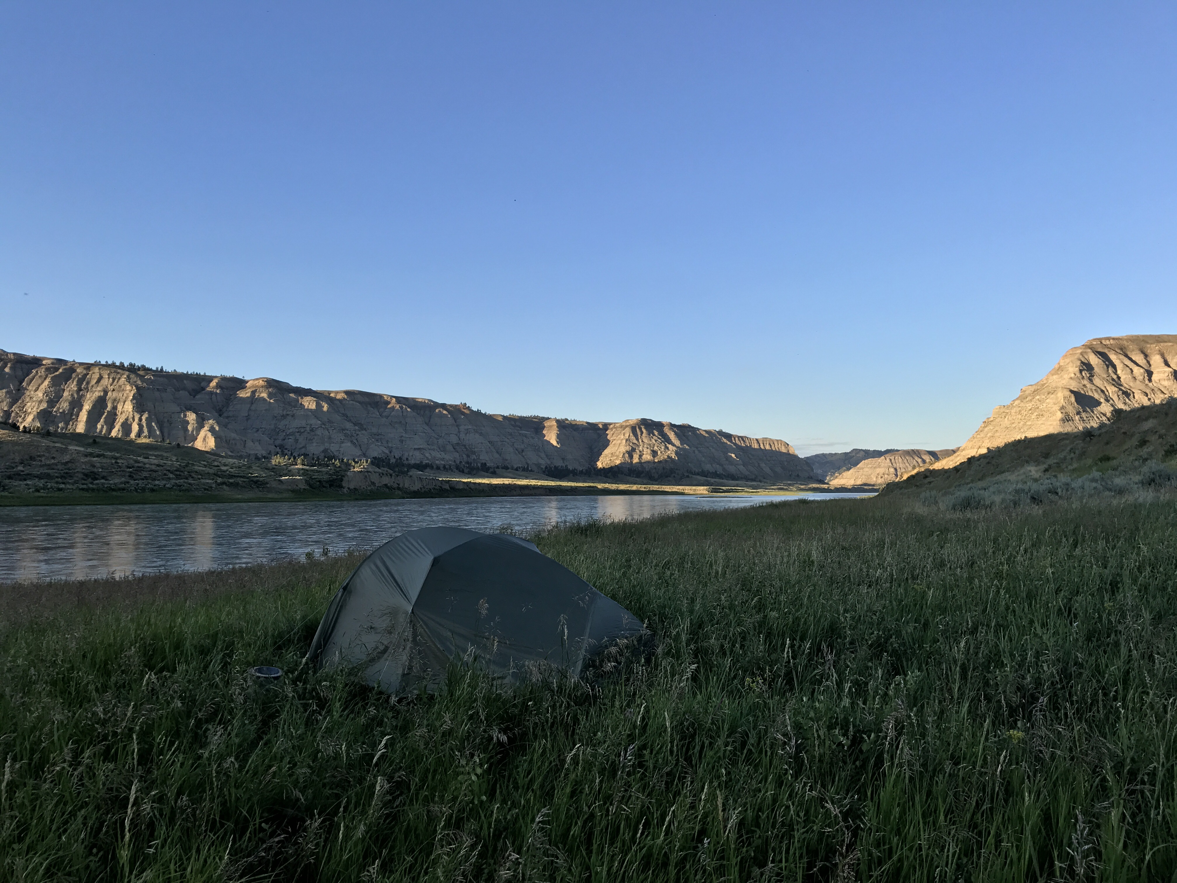
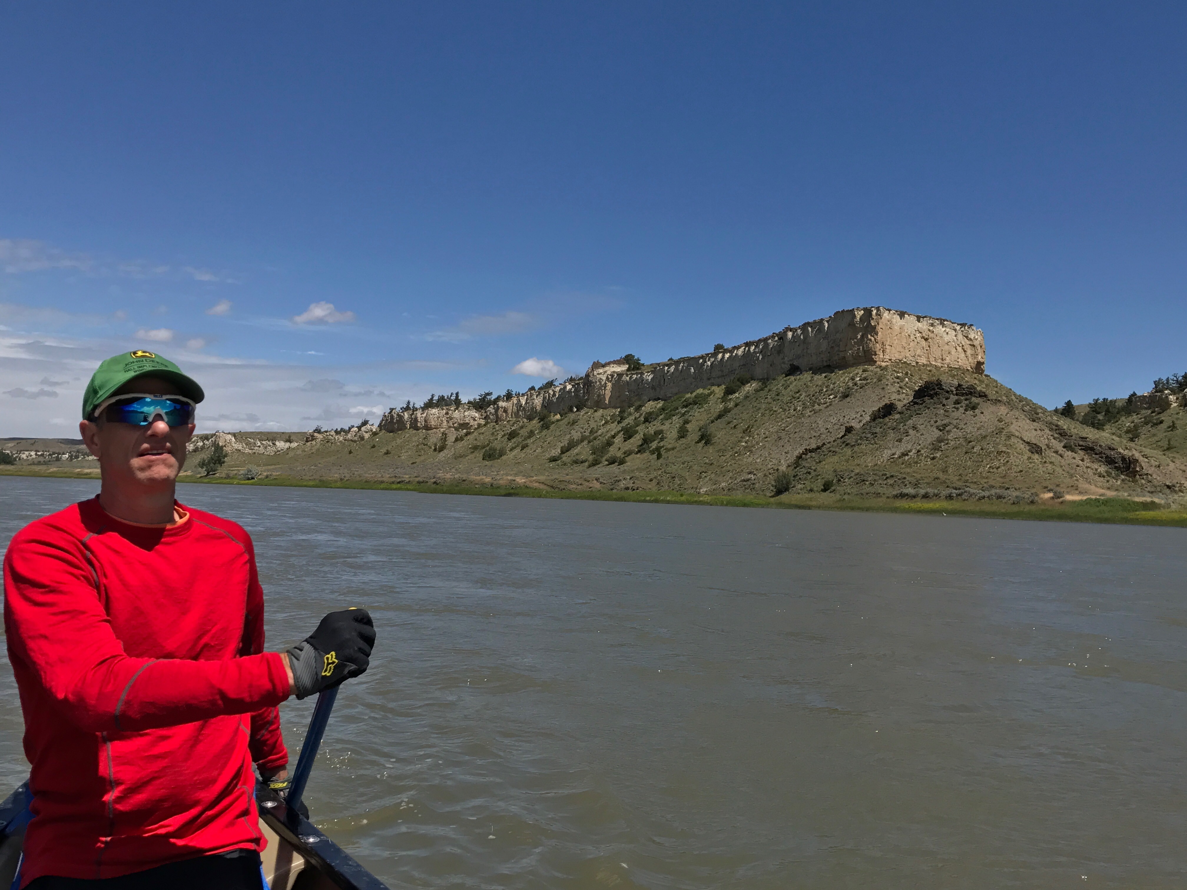
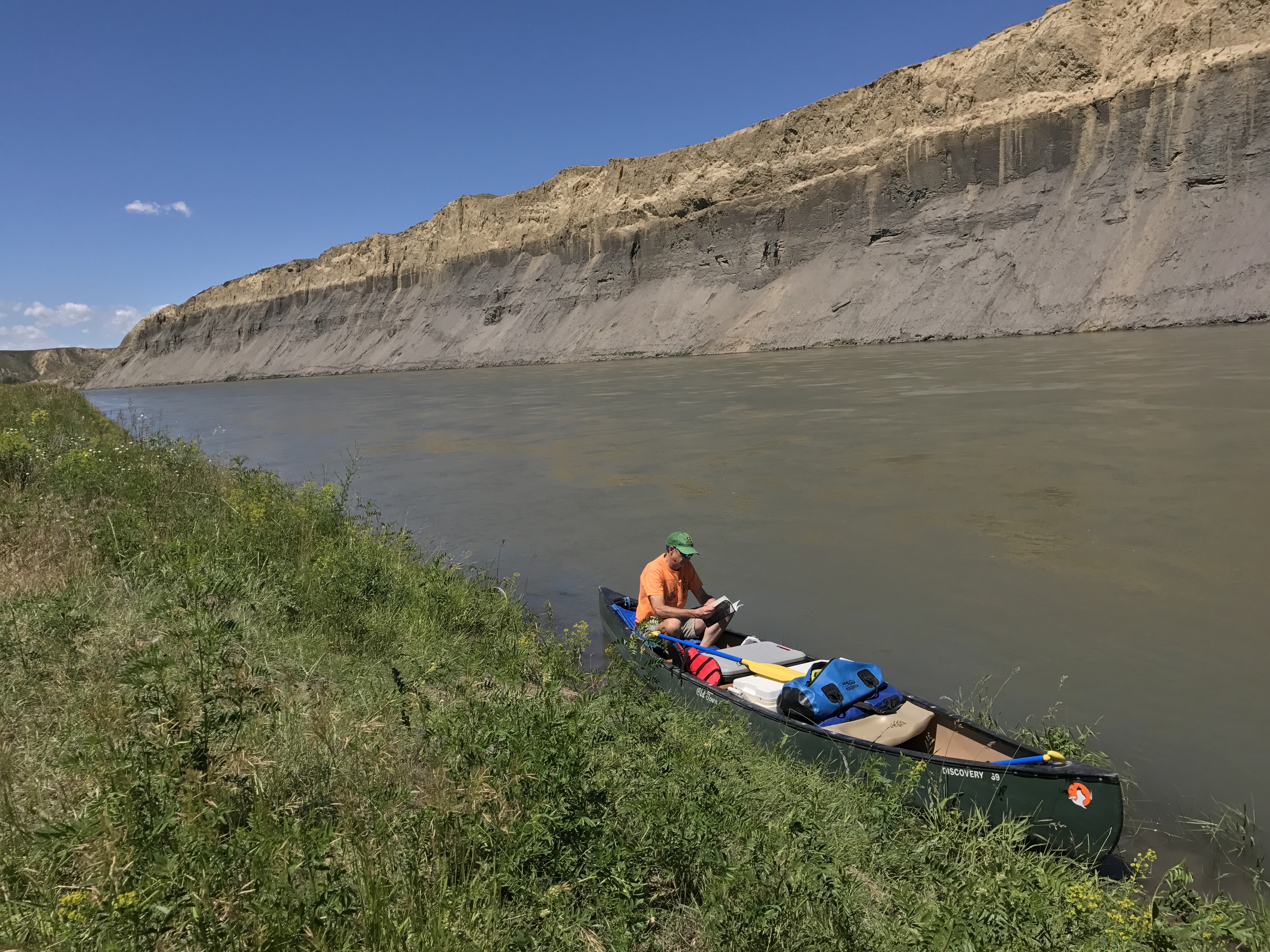
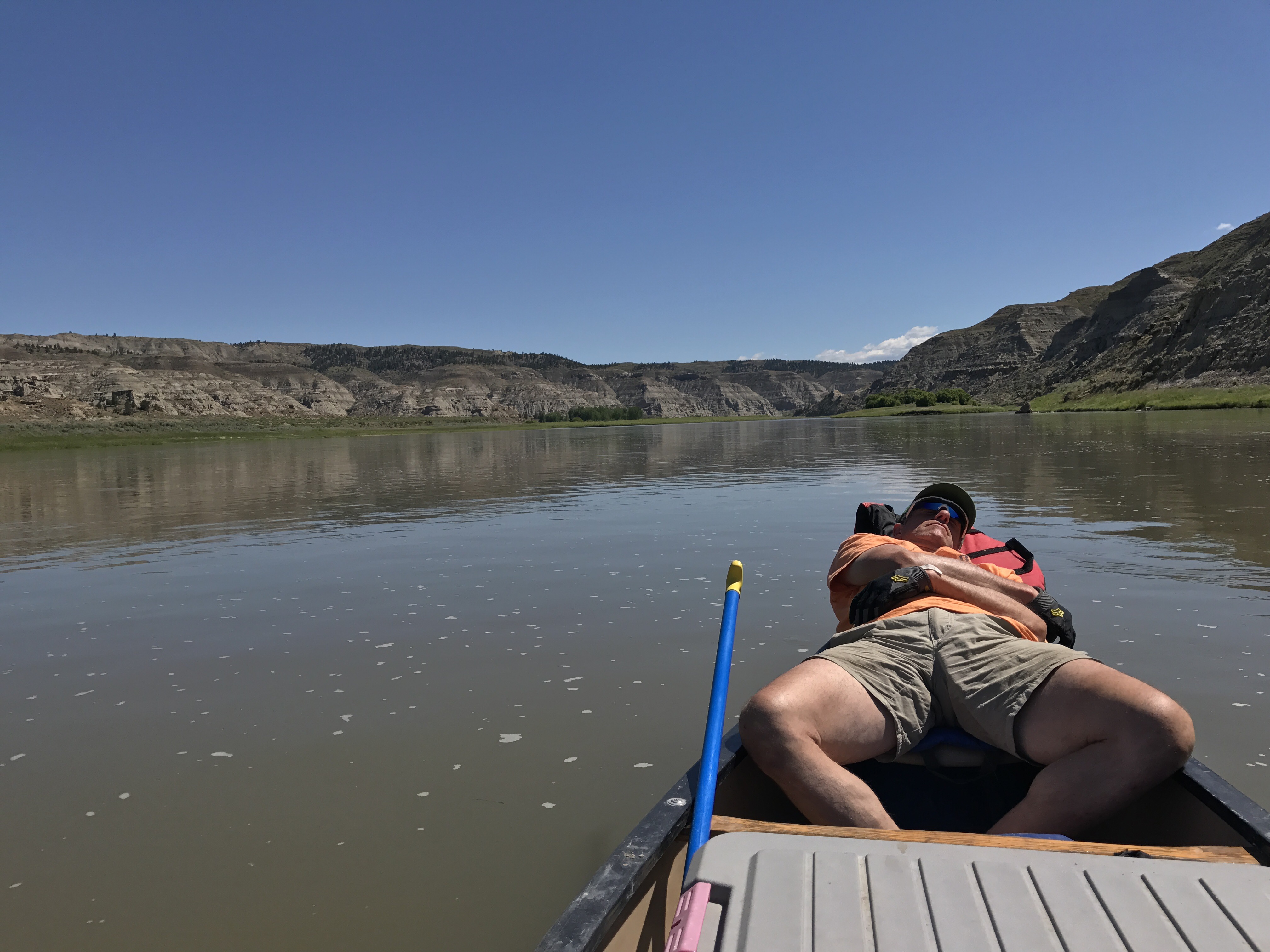
We’ve covered 150 miles of Montana by canoe in our trip down the Missouri River Breaks National Monument.
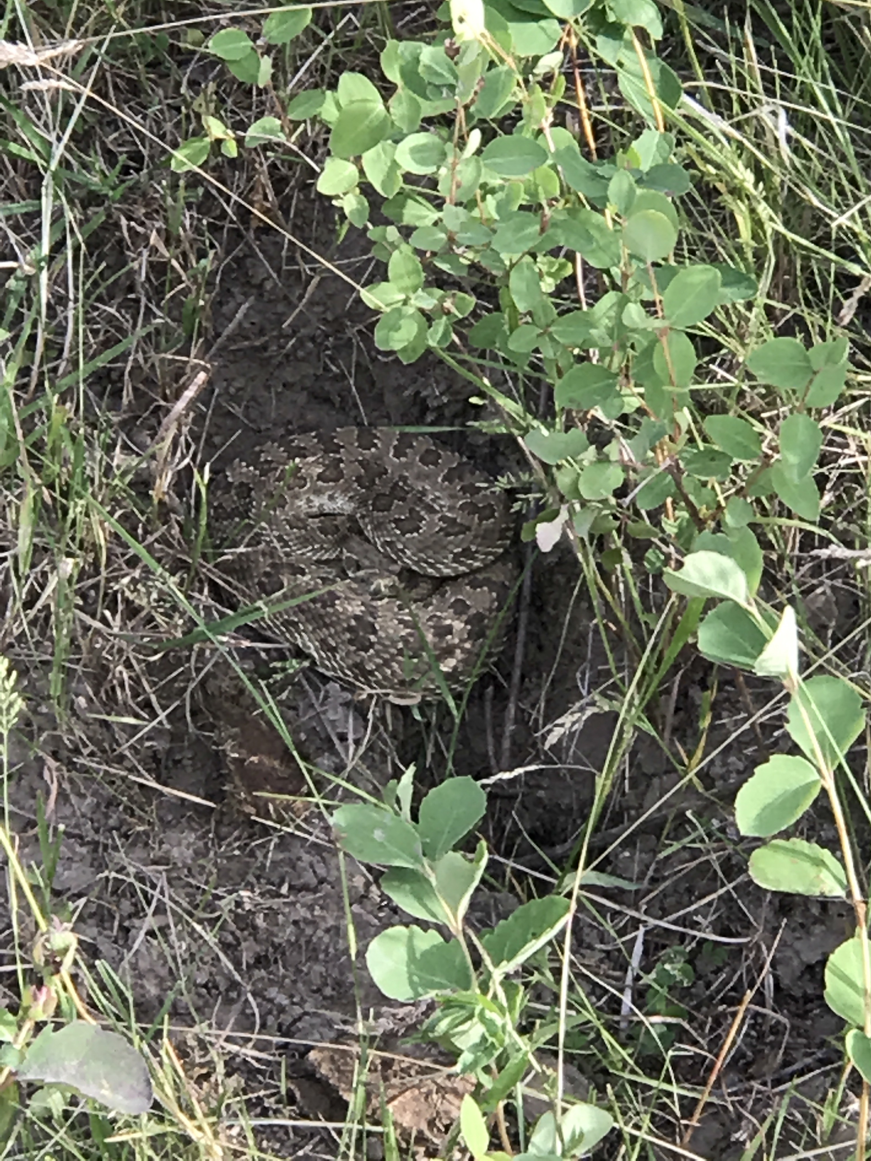
I recommend this trip: it’s easy, beautiful, and full of interesting history, geology, and wildlife. The trip is deemed a “float” trip because the strong current usually allows one to travel down without much paddling. The river was full and fast, and for a couple of days we had a gale force tailwind. It was at at times a trifle scary as the current and wind were so strong one had to set up the canoe well in advance to avoid getting caught in a fallen tree or tipping over on the point of an island. It was impossible to paddle upstream to fix any mistake. Say goodbye before you jump in for a dip. Those conditions aren’t typical, though. I think the Missouri Breaks would be a great family trip, with one caveat: how comfortable can one get with rattlesnakes all over the place? Here’s one cuddled up right next to the footpath down to the shore at one of the campsites.
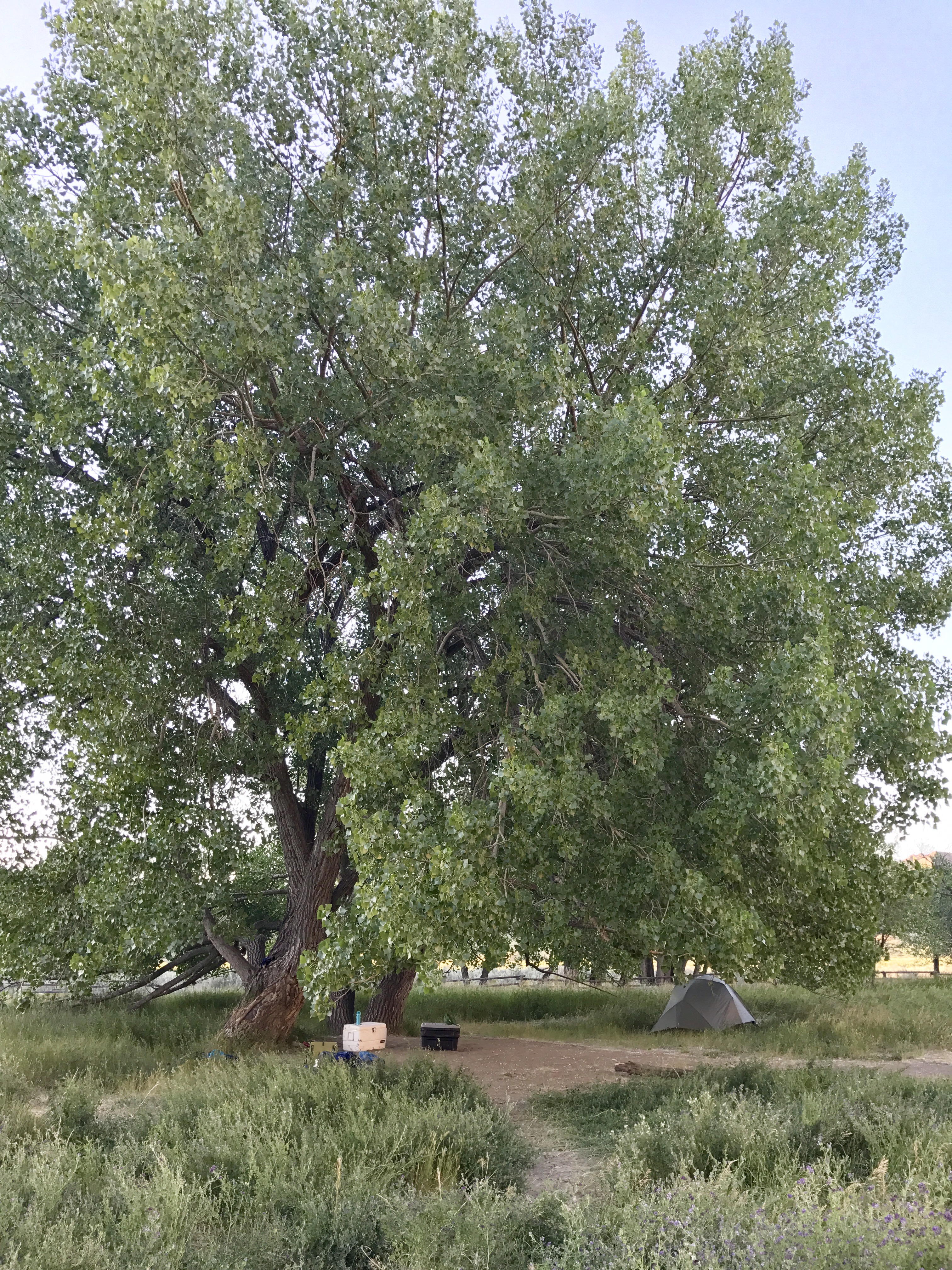
One afternoon Mark was reading in the tent under this big Cottonwood tree when a four foot snake traveled along the length of the tent under the groundsheet.
We liked hiking into the sites off the river, but we decided against doing the recommended hike from the spot Lewis and Clark named “Snake Point.” I’m certainly overstating the danger. A hiker told me I’d have more chance of winning the Powerball than being bitten by a Prairie Rattlesnake (though maybe his confidence came from the gun on his belt). Still.
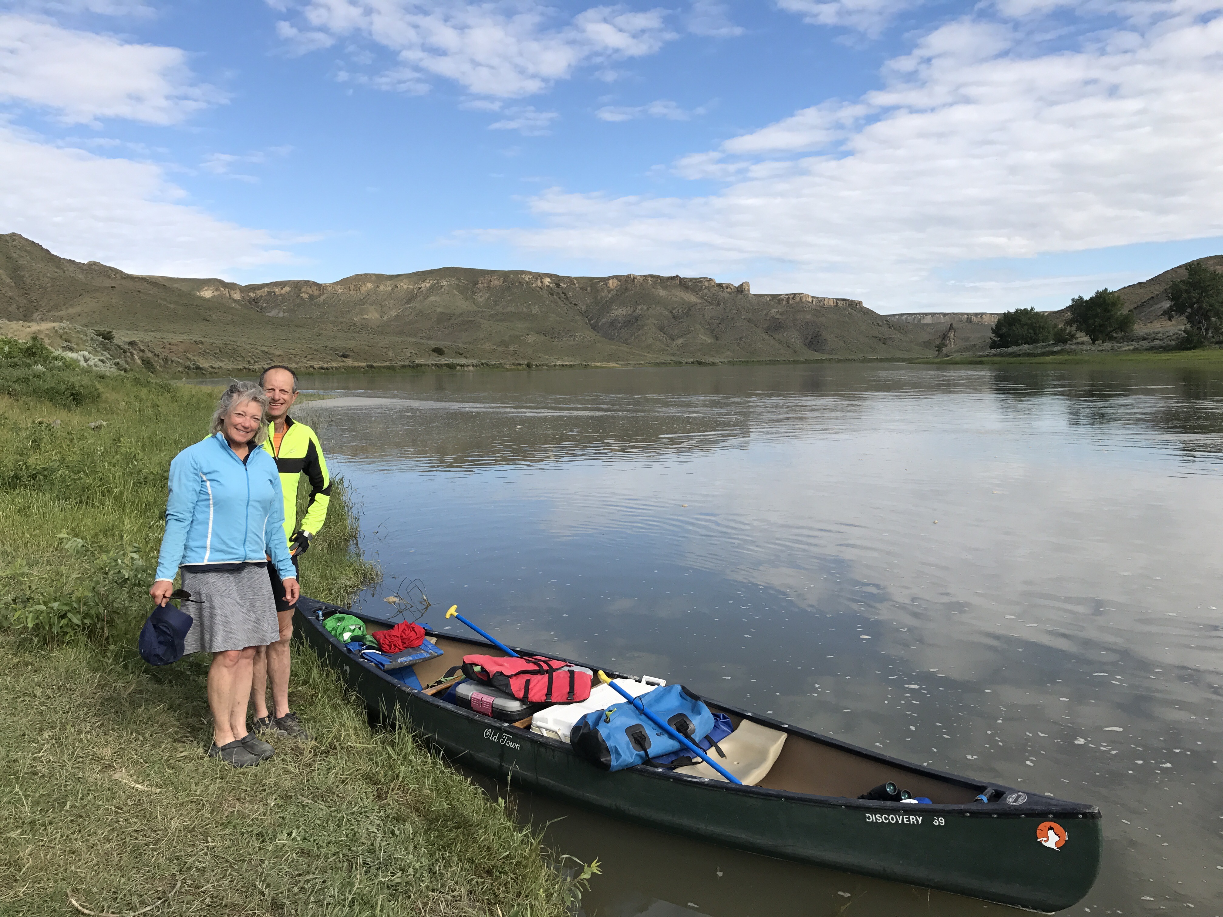
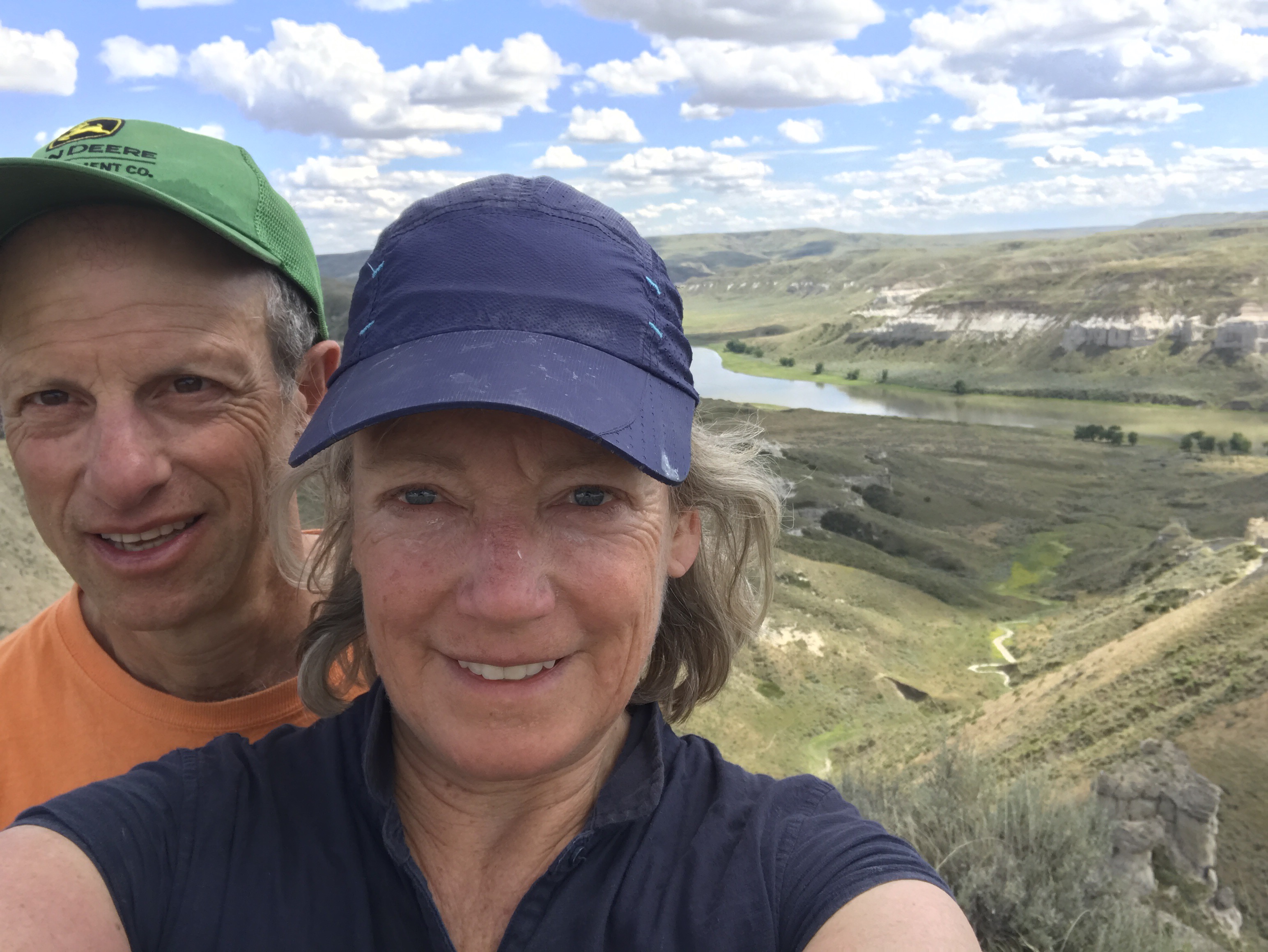
I wish every American could take this trip. One finally gets why it was a big deal for Lewis and Clark to make this journey up a fast flowing river to an unknown destination. We had a mile by mile guide that detailed every twitch of the L and C expedition. At one campsite we moved downriver a bit to avoid disturbing an eagle nest, and we ended up putting the tent right where L and C camped. We knew that because we found a commemorative plaque in the long grass — you’re going to know the history whether you like it or not.
I’m having trouble picking out just a few photos from this trip. Apologies if these are too many, but if you never have a chance to go, at least you’ll have seen some highlights.
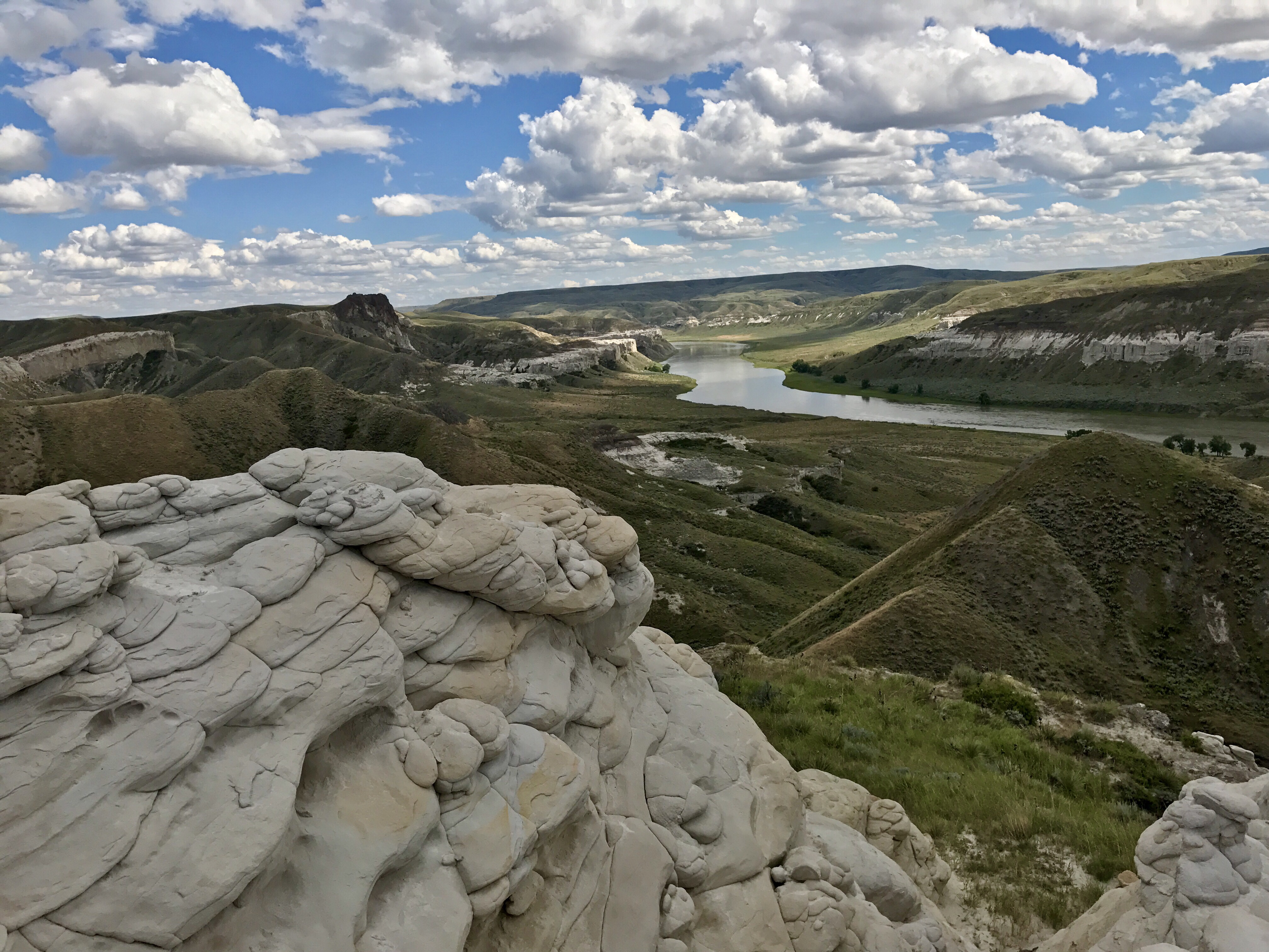
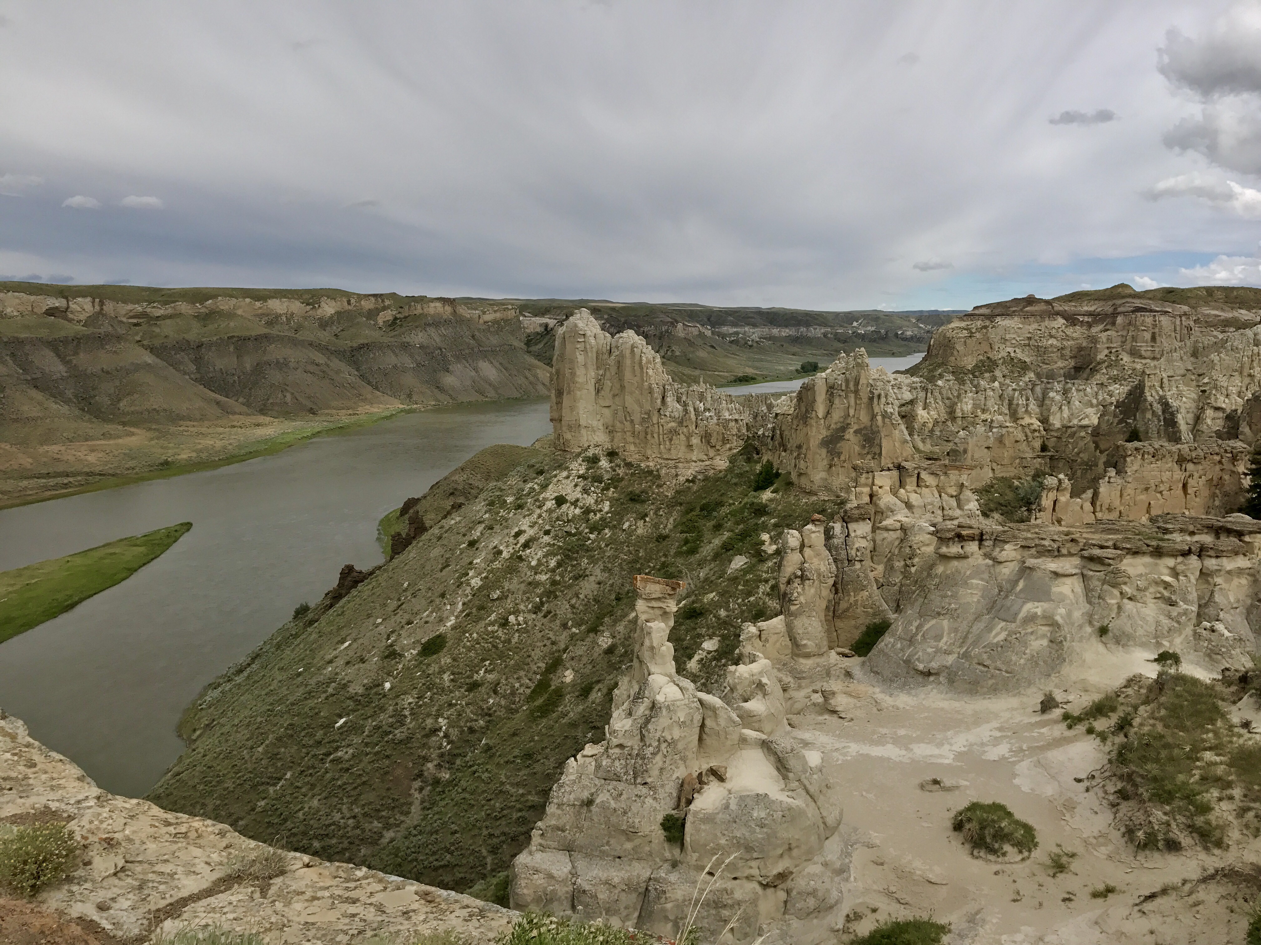
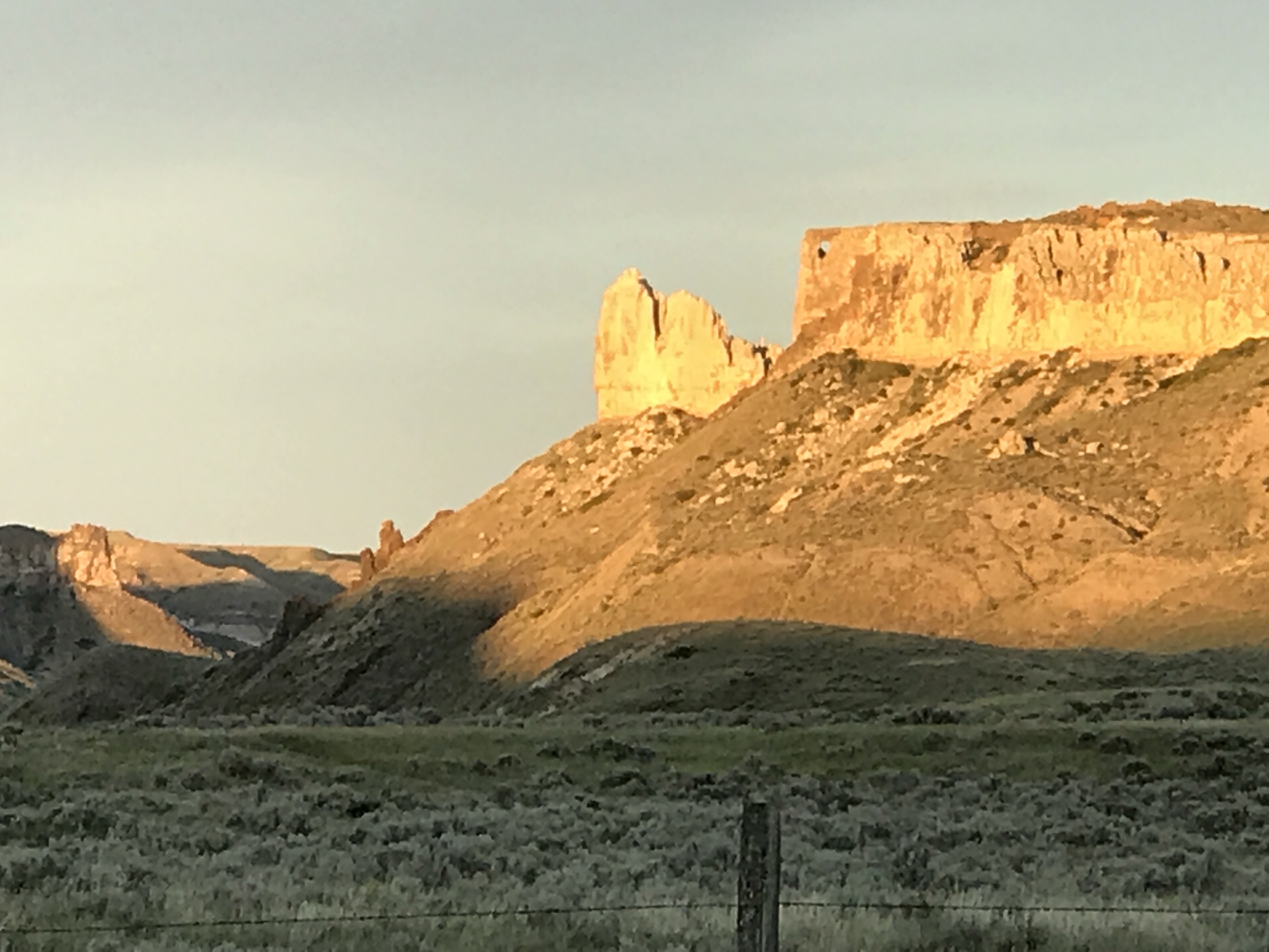
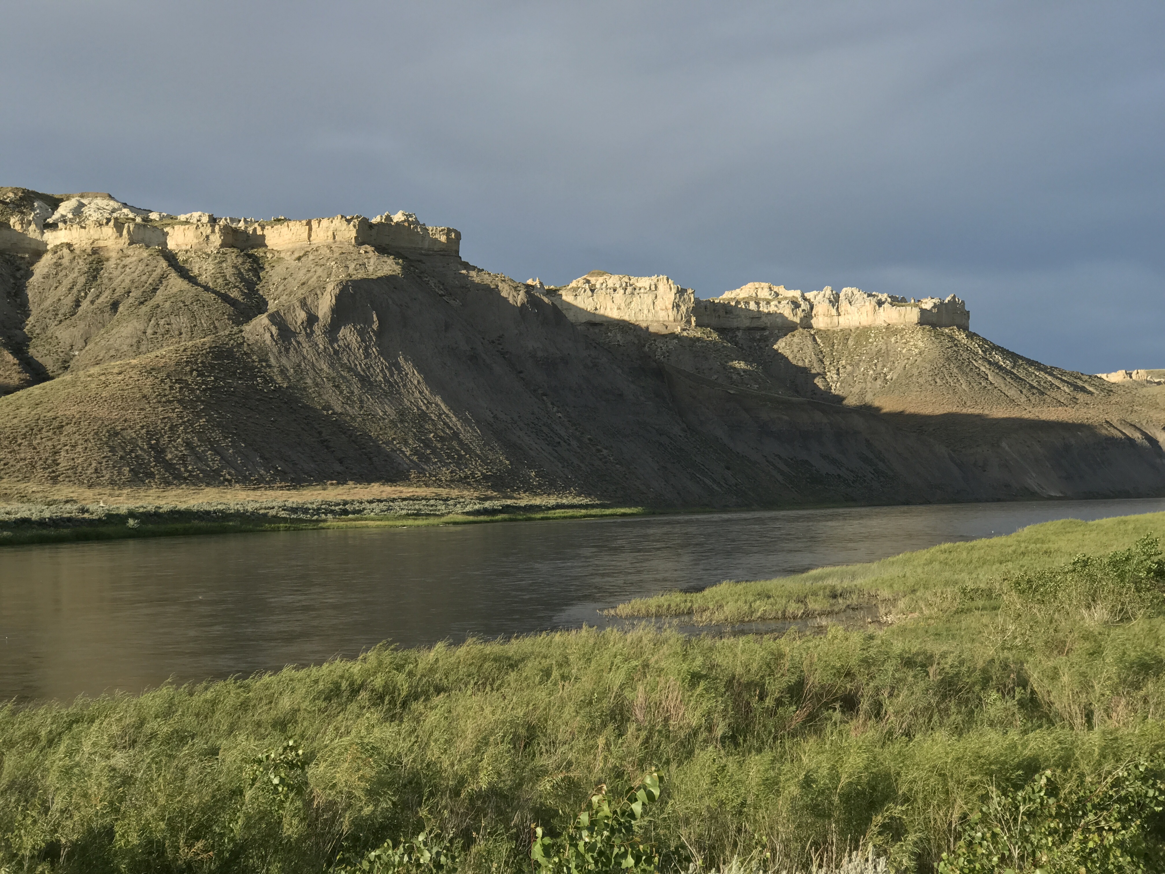
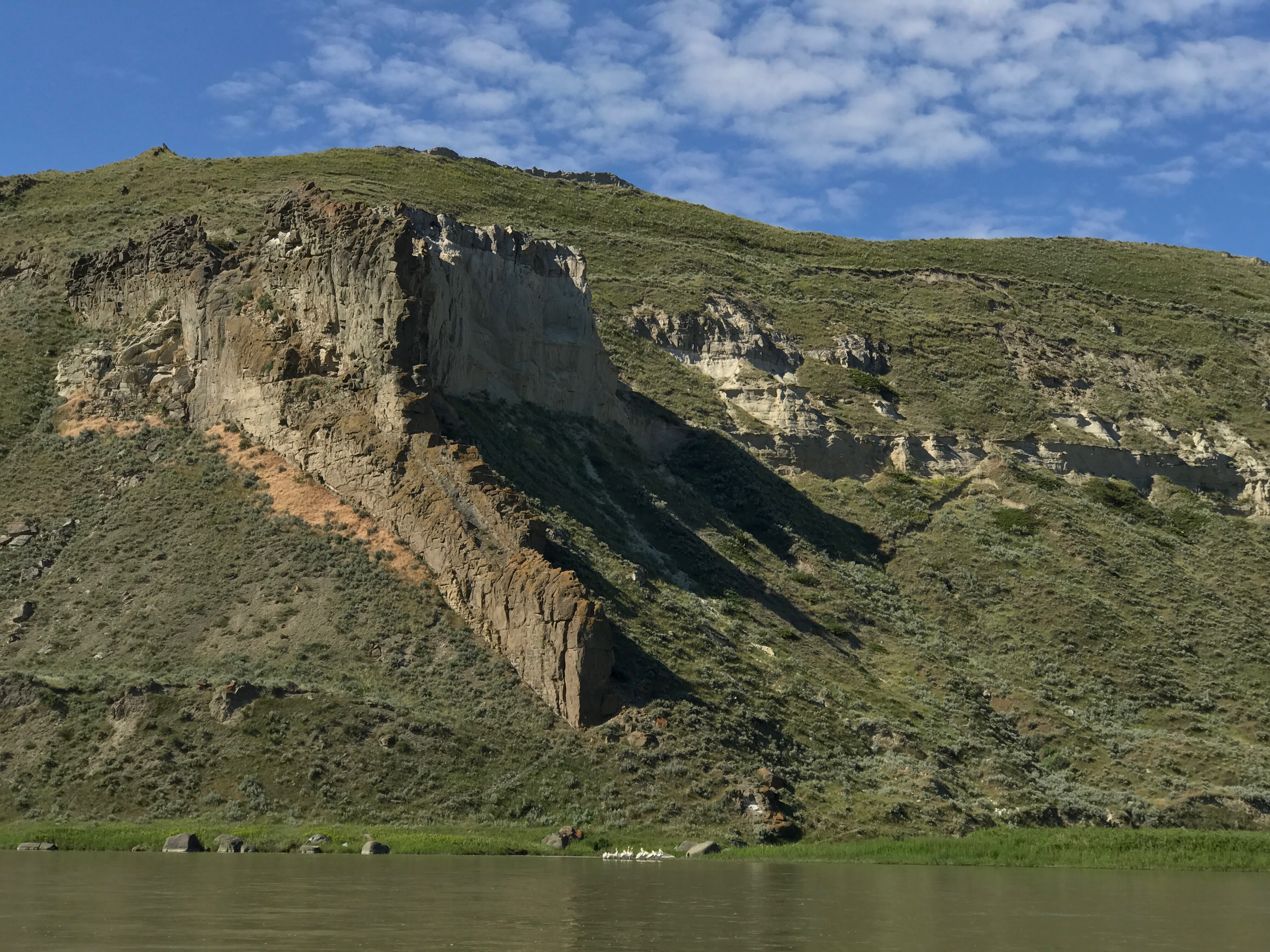
Our geology guidebook was great at explaining the layers and formations on the river. Here an unusual form of magma (“shonkinite”) eroded out amid the sandstone.
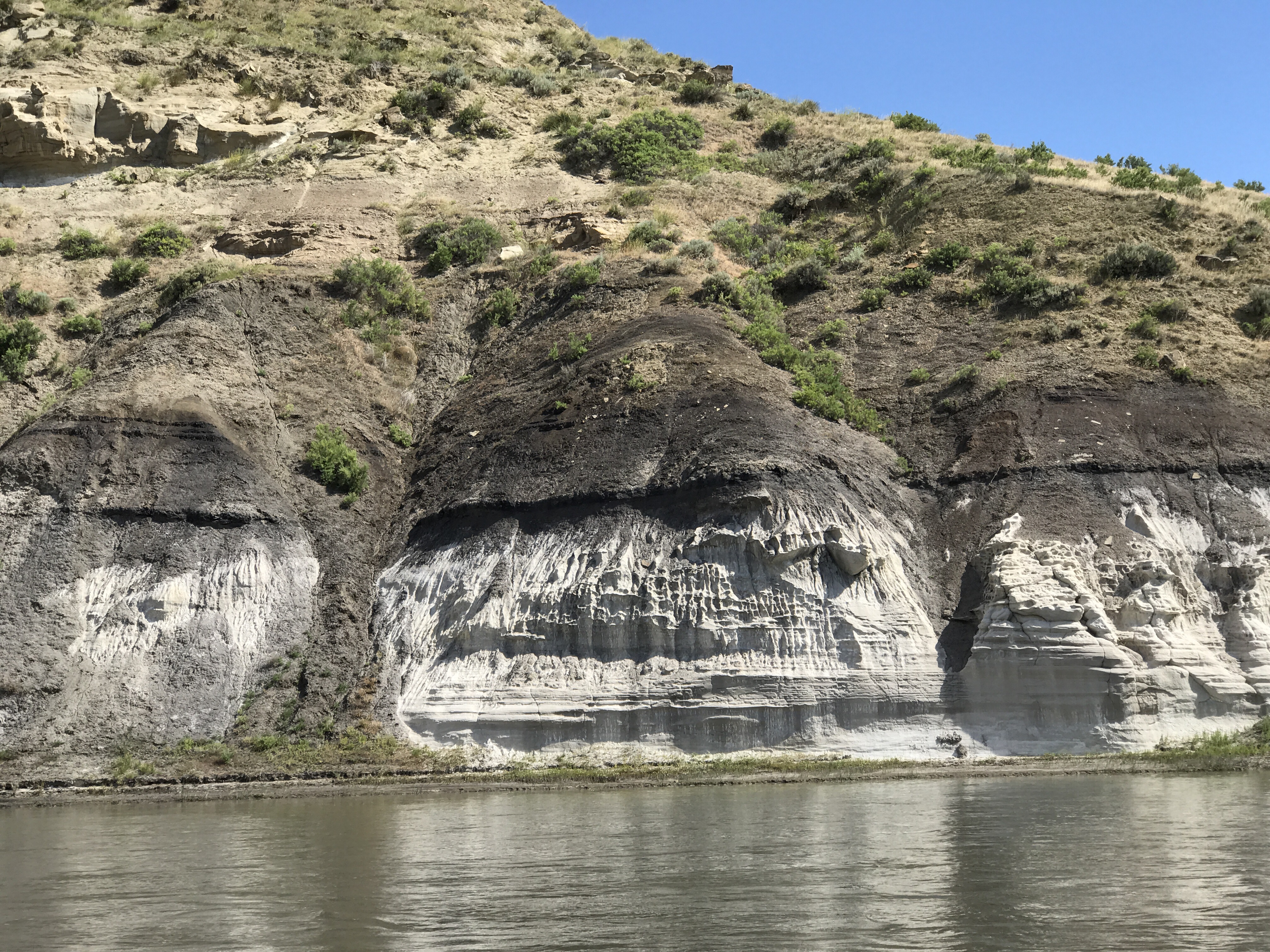
The black line in the white sandstone is lignite, a form of coal. By looking for this black line, you can trace this dinosaur times epoch of warm, wet climate and lush fern growth. (Peter and Kate will likely correct me.) This region has yielded many dinosaur fossils, including the most Tyrannosaurus found.
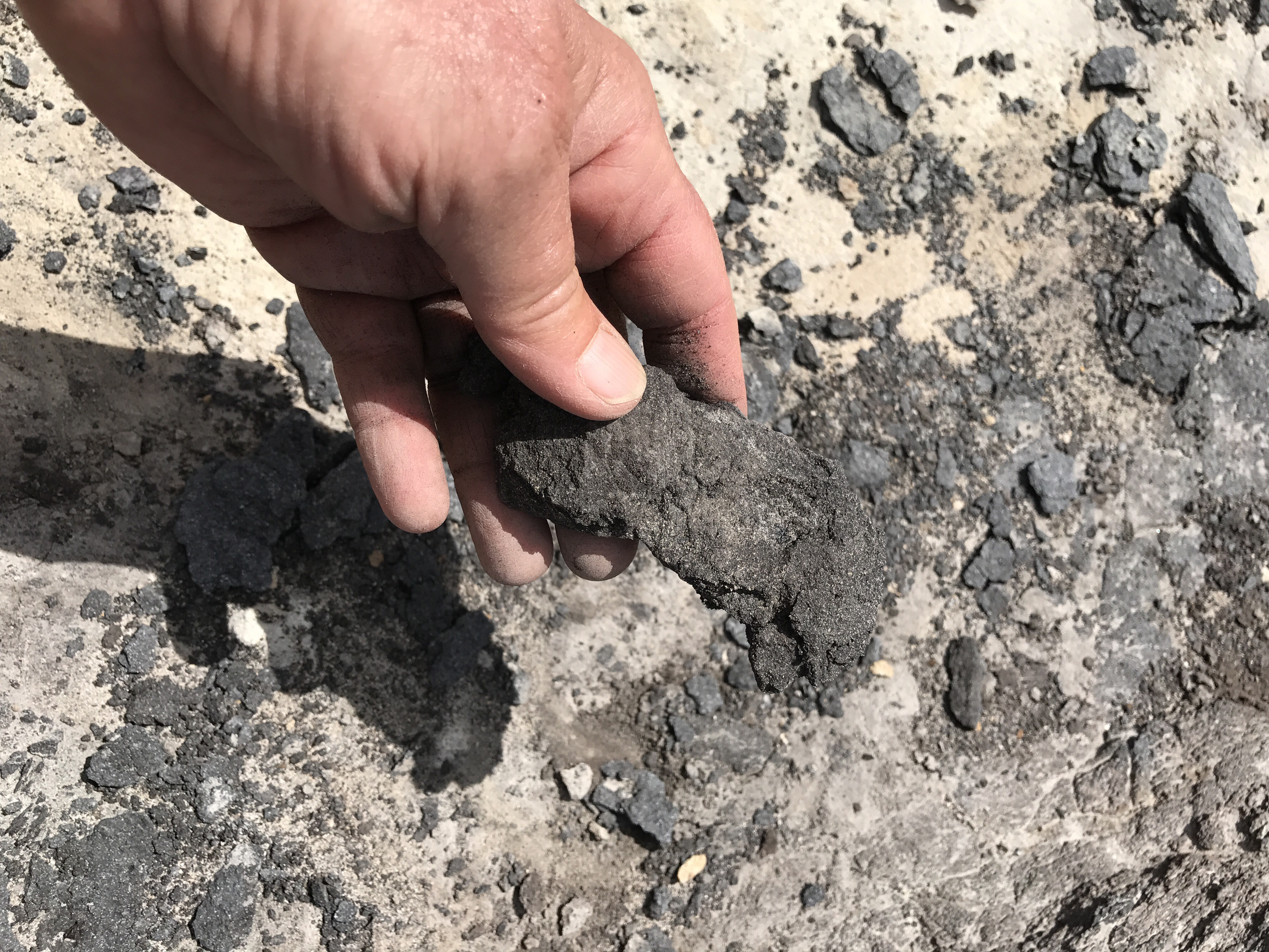
You can take some of these ancient compressed ferns in hand, and maybe go try to burn it.
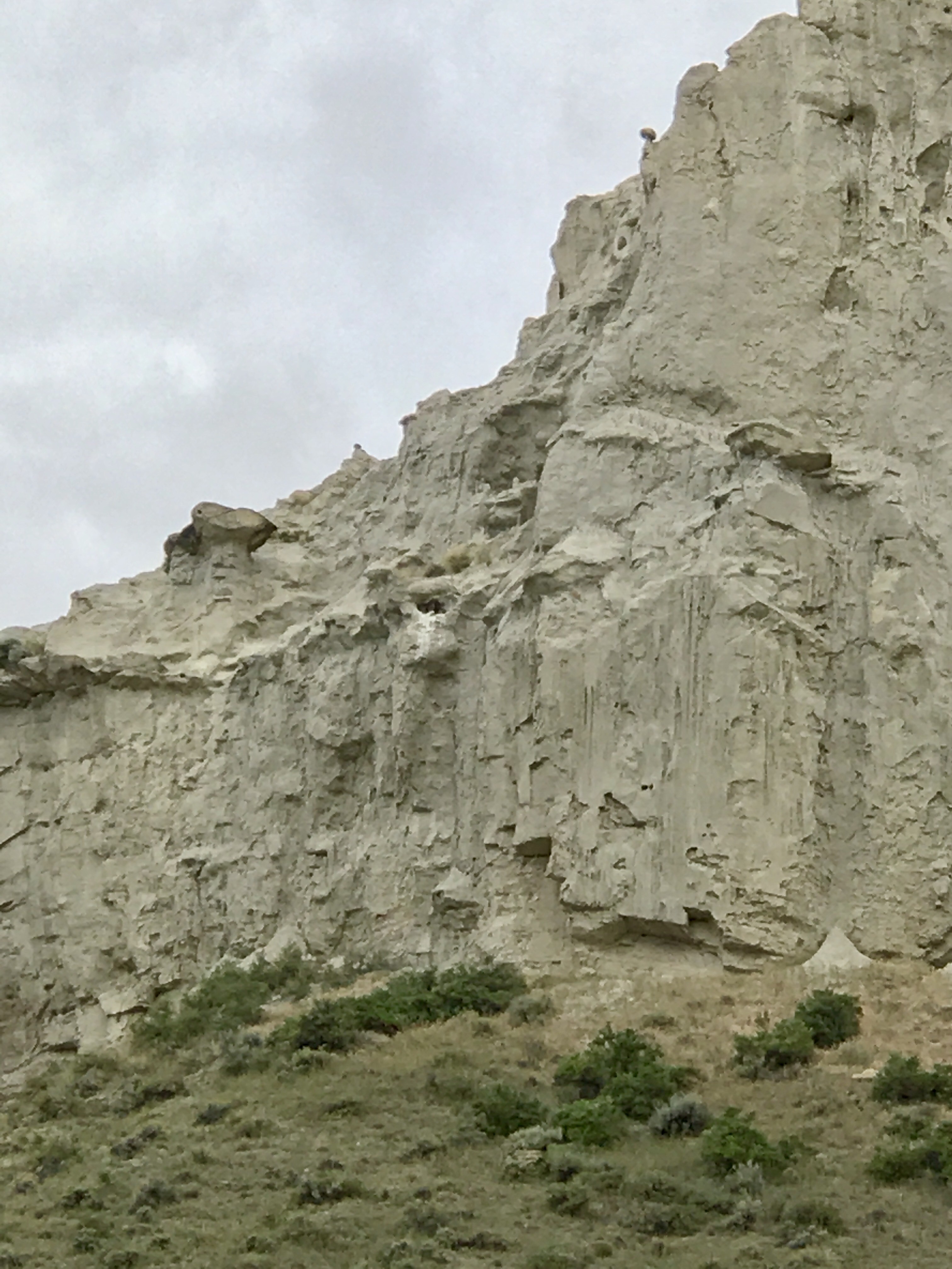
The wildlife was spectacular. We lost count of the Bald Eagle and Golden Eagle nests. Every day, White Pelicans flew in formation like an air squadron surveying our doings. The dawn chorus of birdsong was deafening. I’m still puzzling over the birds that woke me up every morning with a C-E-low A riff that I think is the beginning of a Haydn melody. When the wind stopped in the evening, all the birds would come out for their insect supper: Cliff Swallows, Bank Swallows, and Nighthawks filled the sky. We saw Prairie Falcons high in the cliffs. Though I was sad to have only an iPhone to photograph it all, I was very glad to have brought binoculars. Here’s a Prairie Falcon nest in a spot only they can reach. Look for the white stripe of dung below a little cave in the rock. There are three big nestlings on the ledge.
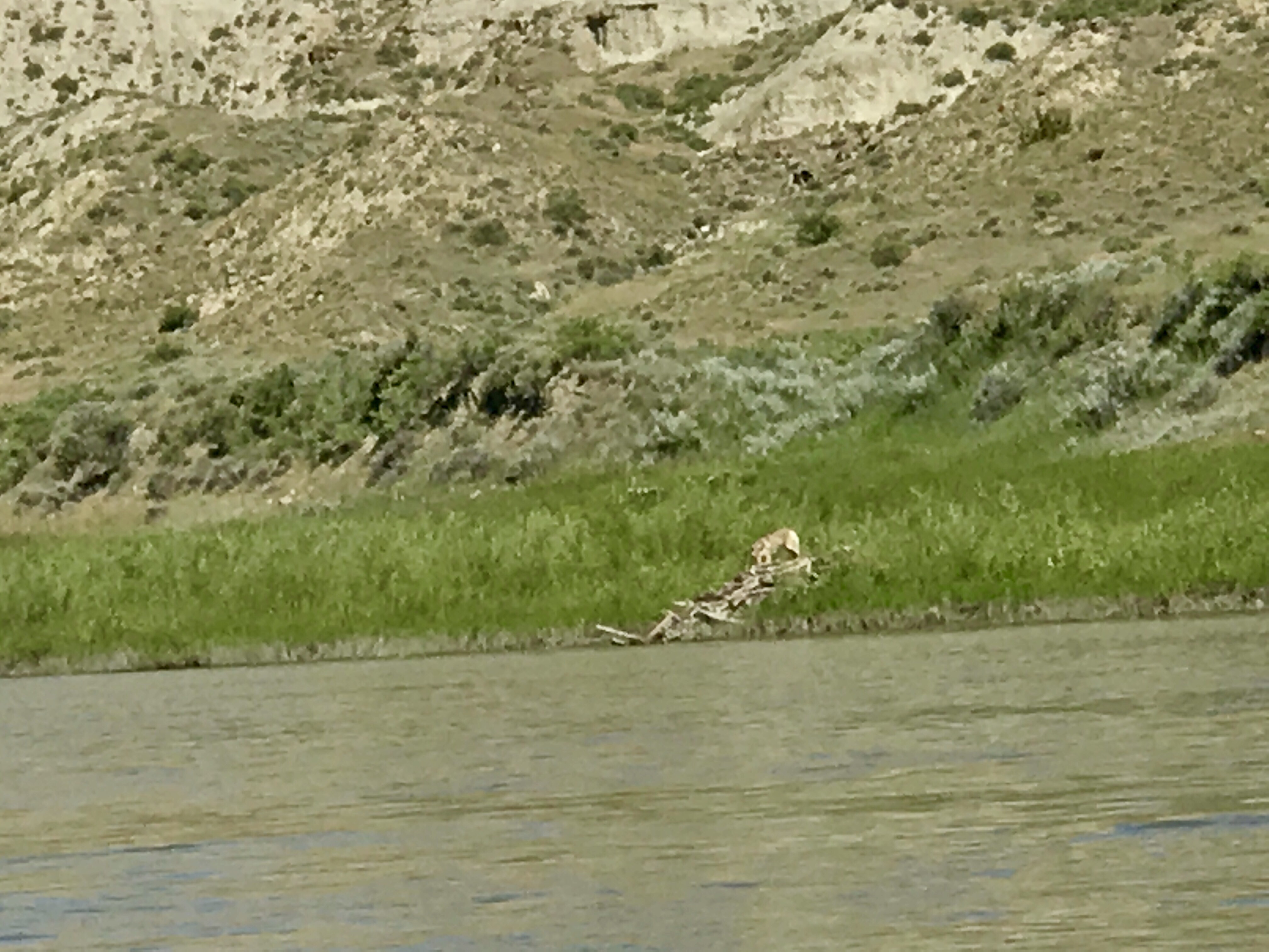
We saw bighorn sheep, too many deer and elk to count, soft shell turtles, and this coyote checking out a beaver lodge.
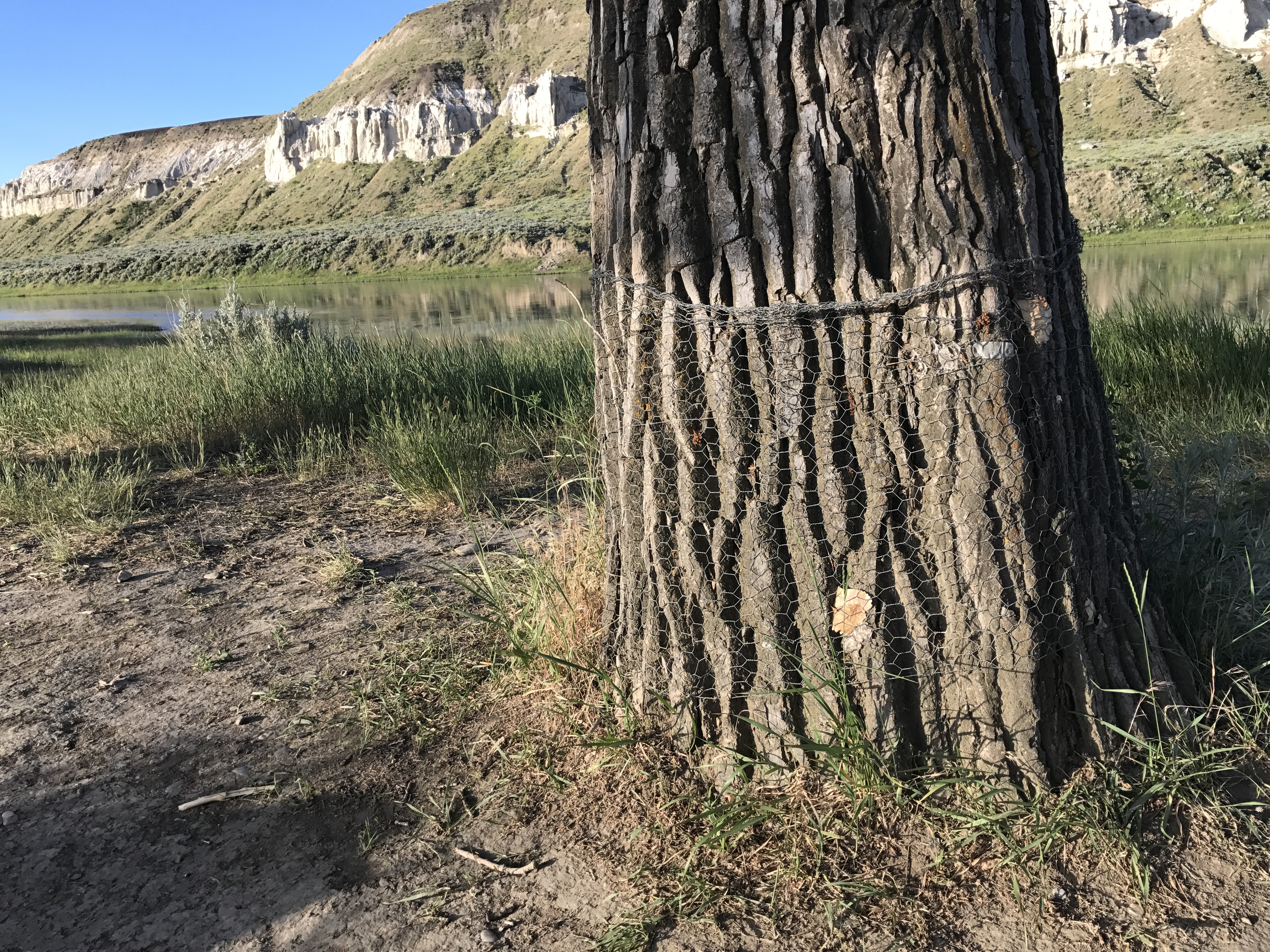
Speaking of beavers, we learned of the mess we humans make, yet again. The dams upstream prevent flooding but in the process prevent silt from spreading over the river banks and forming new seedbeds for Cottonwood trees. What few seedlings do emerge get eaten by the cattle that are allowed to graze right down to the river. That means the poor beavers are left with only big Cottonwoods for food, and of course they cut them down. Between beaver cutting and the natural lifespan of trees, eventually there will be no more Cottonwoods and thus no more shade along the river. The Bureau of Land Management, which administers the Monument, is trying to protect the big Cottonwood trees from beavers with chicken wire around the trunks.
We used complicated, packaging-intense, expensive “wag bags” for our poop, but meanwhile the cattle defecate all along the river. The black dots you see on the bank at this approach to one campsite is a happy herd of cows standing in the shallows.
I think it’s grazing leases on BLM land (public land, belonging to all citizens) that are the problem. We did see BLM personnel trying to fence cattle off of the river.
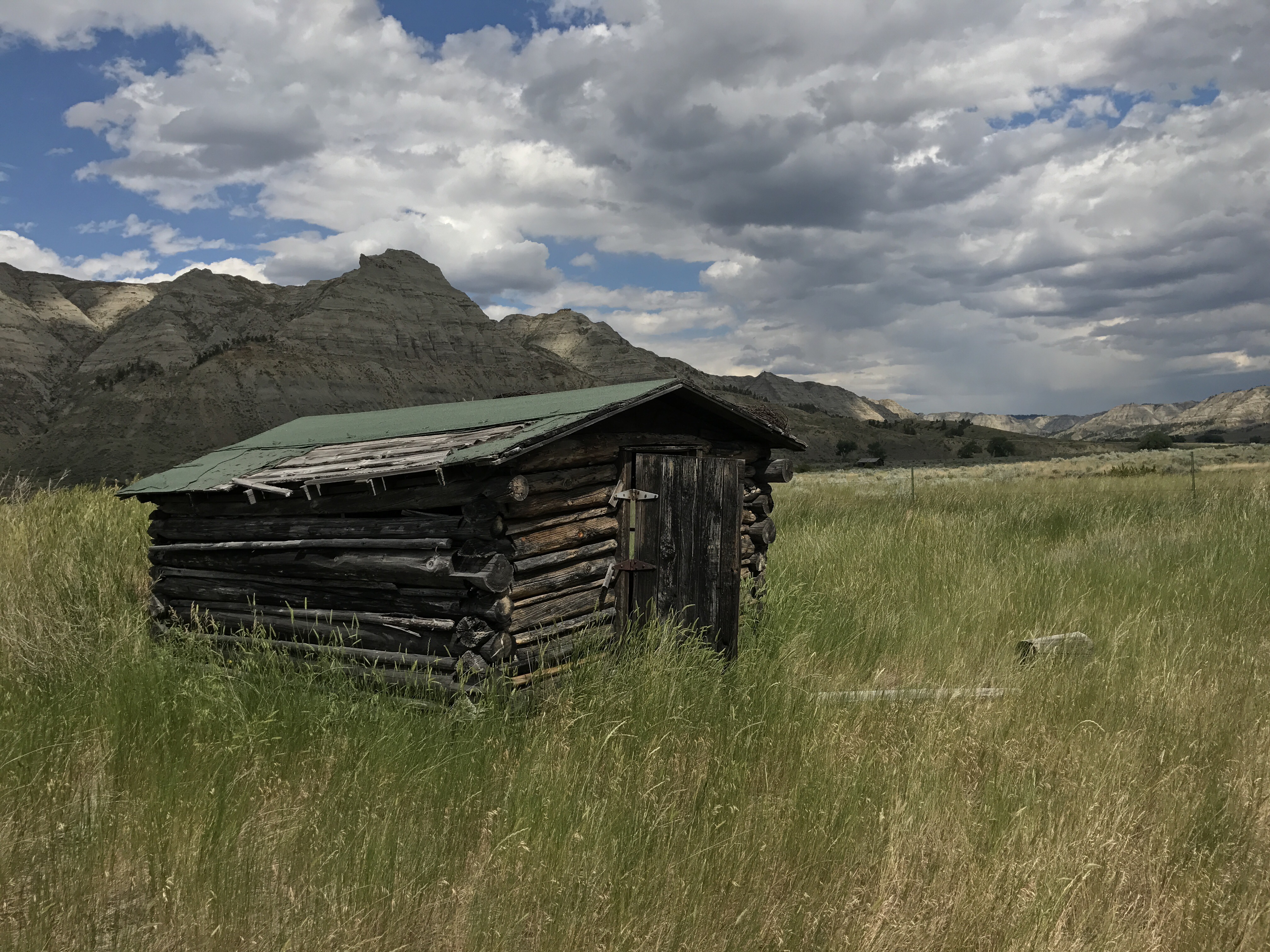
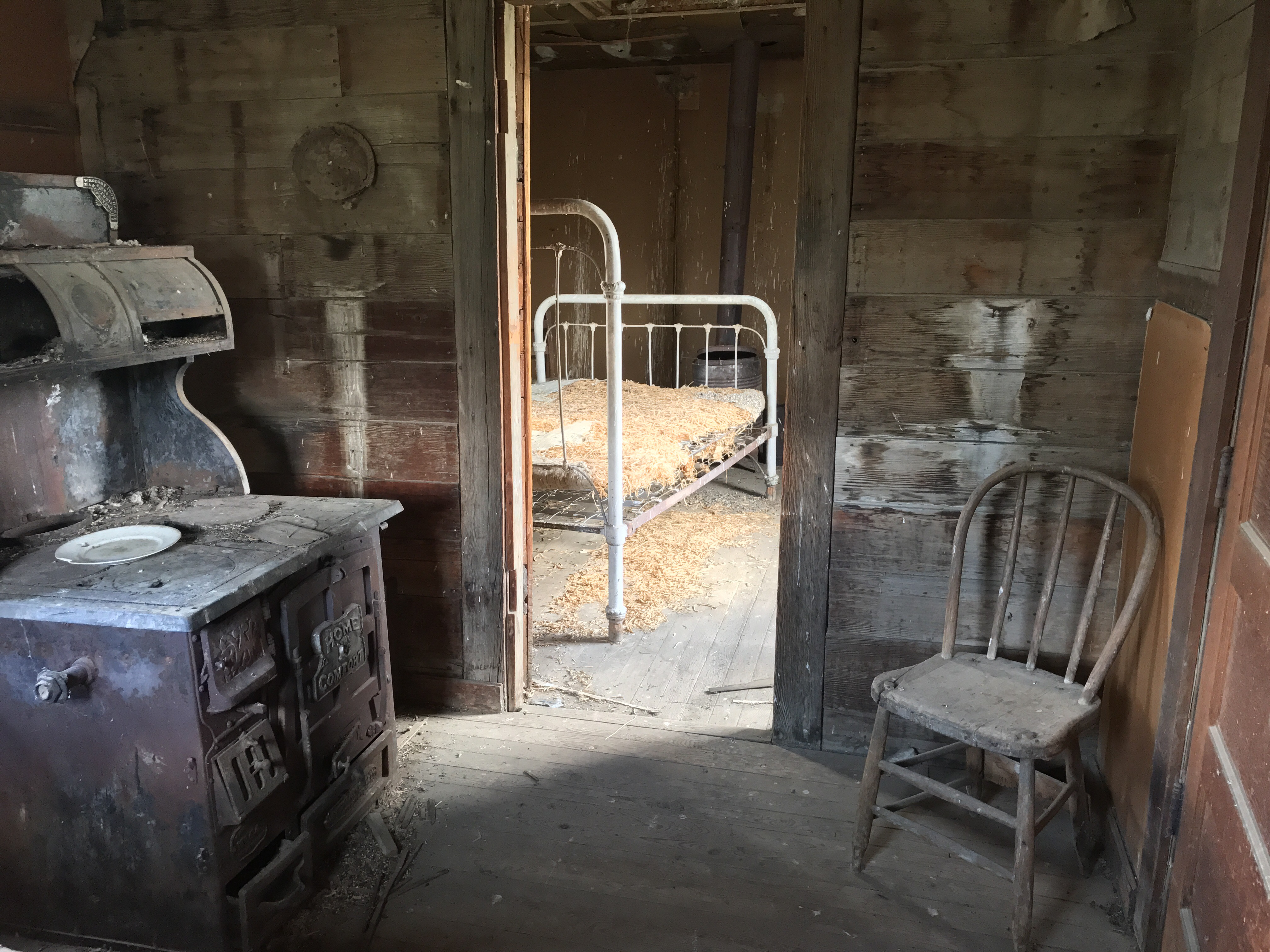
Not all the riverside is public land. Under the Homestead Acts, homesteaders claimed whatever riparian land is flat, and now continue as private land. We saw many decaying homesteads. One glimpse illuminates how arduous it was to make a living off this land.
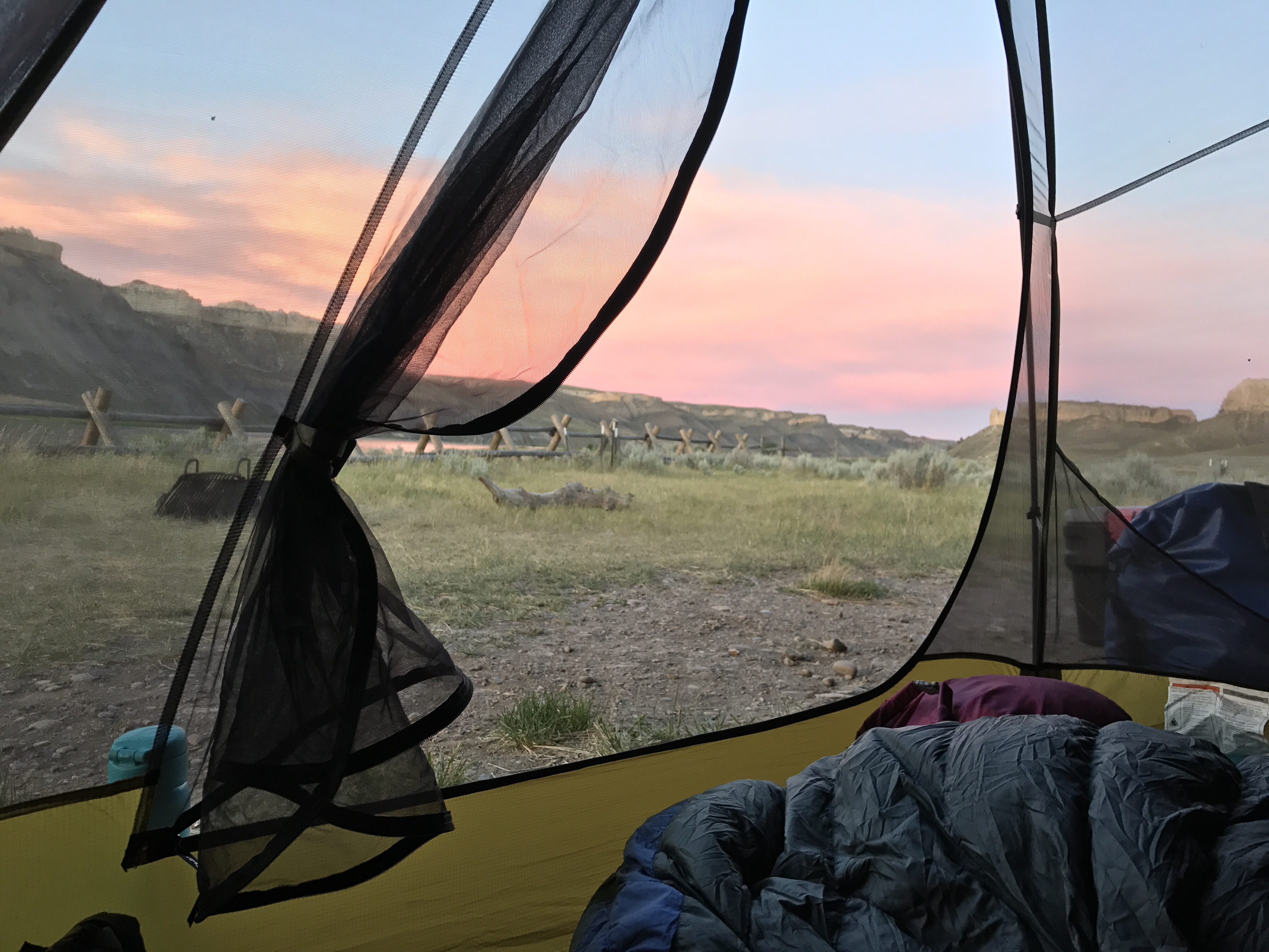
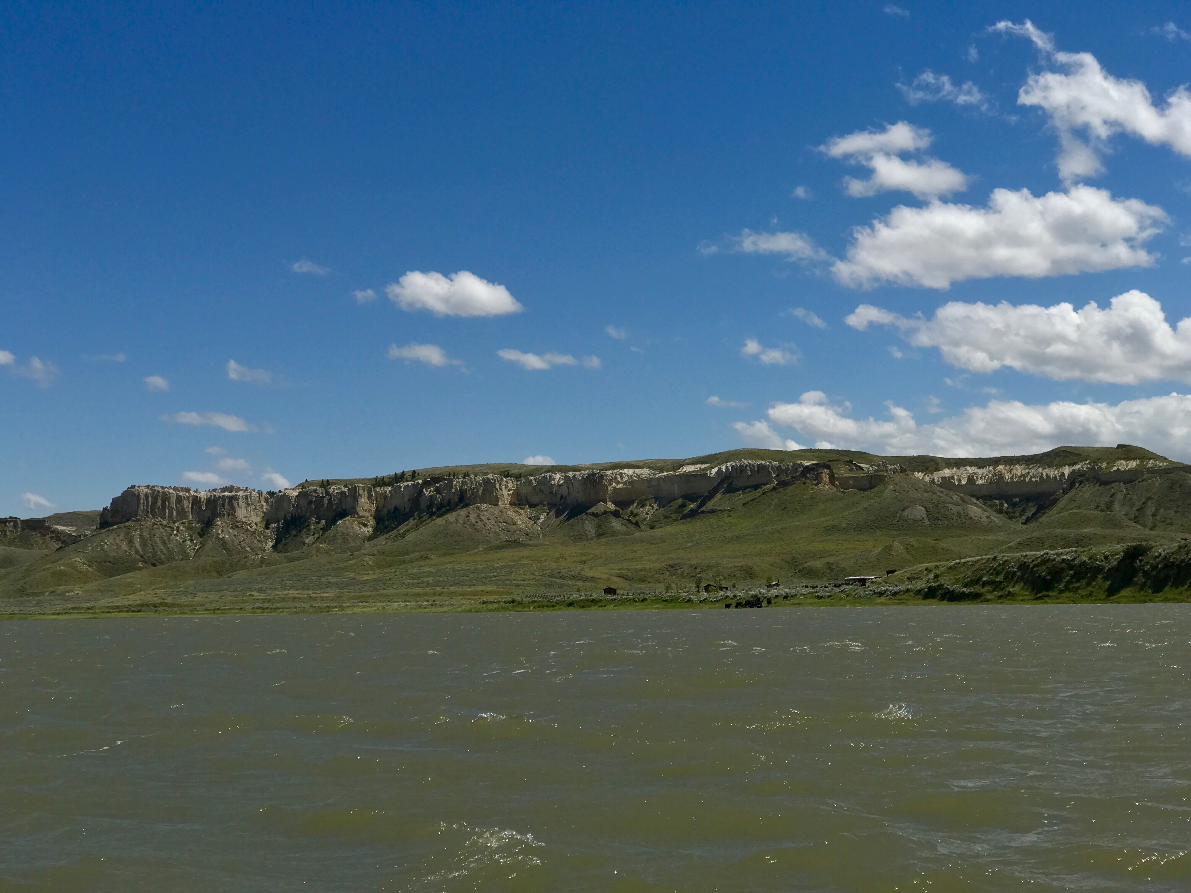
Most canoeists travel just the middle section of the monument. We shared our campsites with nice people every night there. But once we continued on to the lower section we saw just one other canoe in three days. That section isn’t as showy, but its wild feeling is just wonderful.
We were glad that our last day was a tough paddle against a strong headwind plus an evening thunder and lightning storm. We didn’t want to leave thinking the Missouri is all float and gloat.
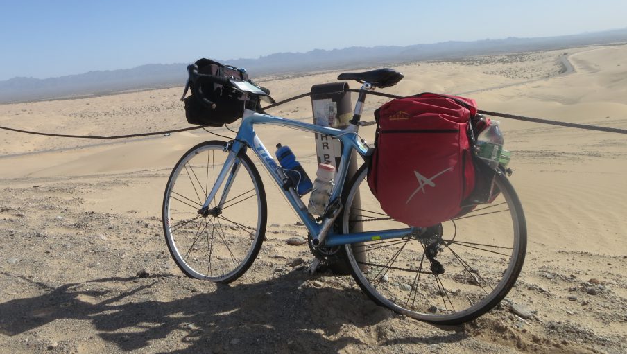
The canoe outfitter showed up with our bikes at the appointed time. We reorganized the gear and started pedaling the 40 miles back to our bike route.
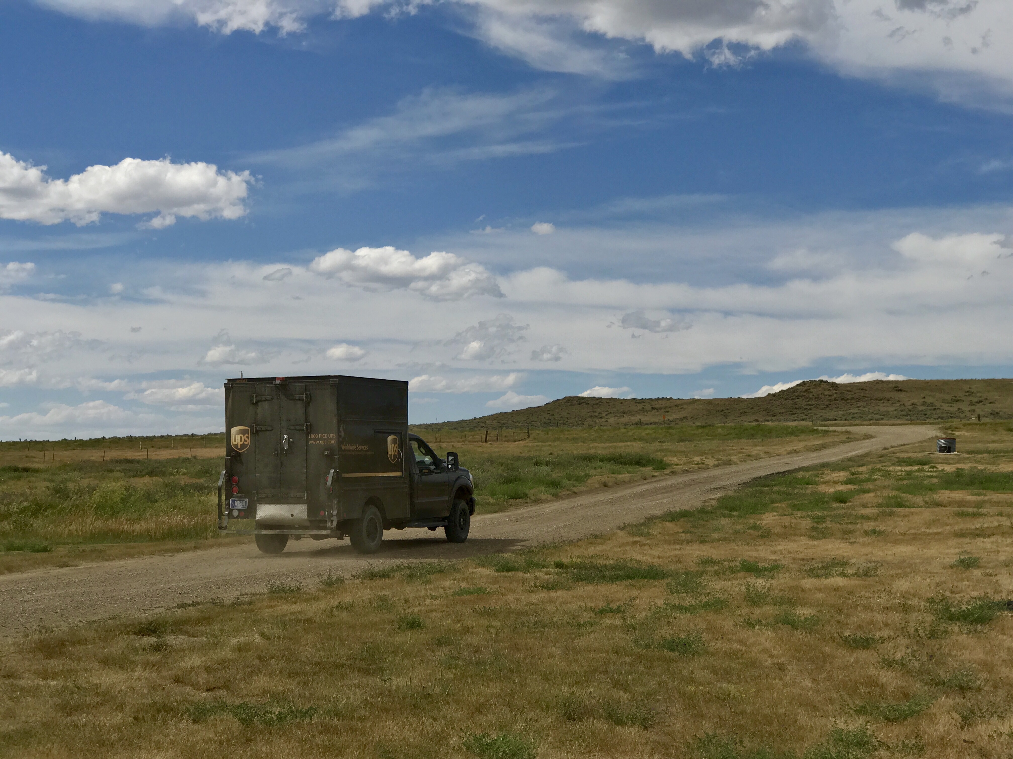
The only lodging options for a couple of days were to camp behind little stores. “Sparsely settled” is the word. I enjoyed this UPS truck, whose driver said he was going 50 miles down this gravel road to deliver a package.
Yesterday we had to ride 99 miles because there was no place to stop. A complication was a stretch of road paving necessitating big asphalt trucks traveling forth and back for 40 miles of our ride. It was scary having them blast past with the 17 mph cross wind adding to the swirl.

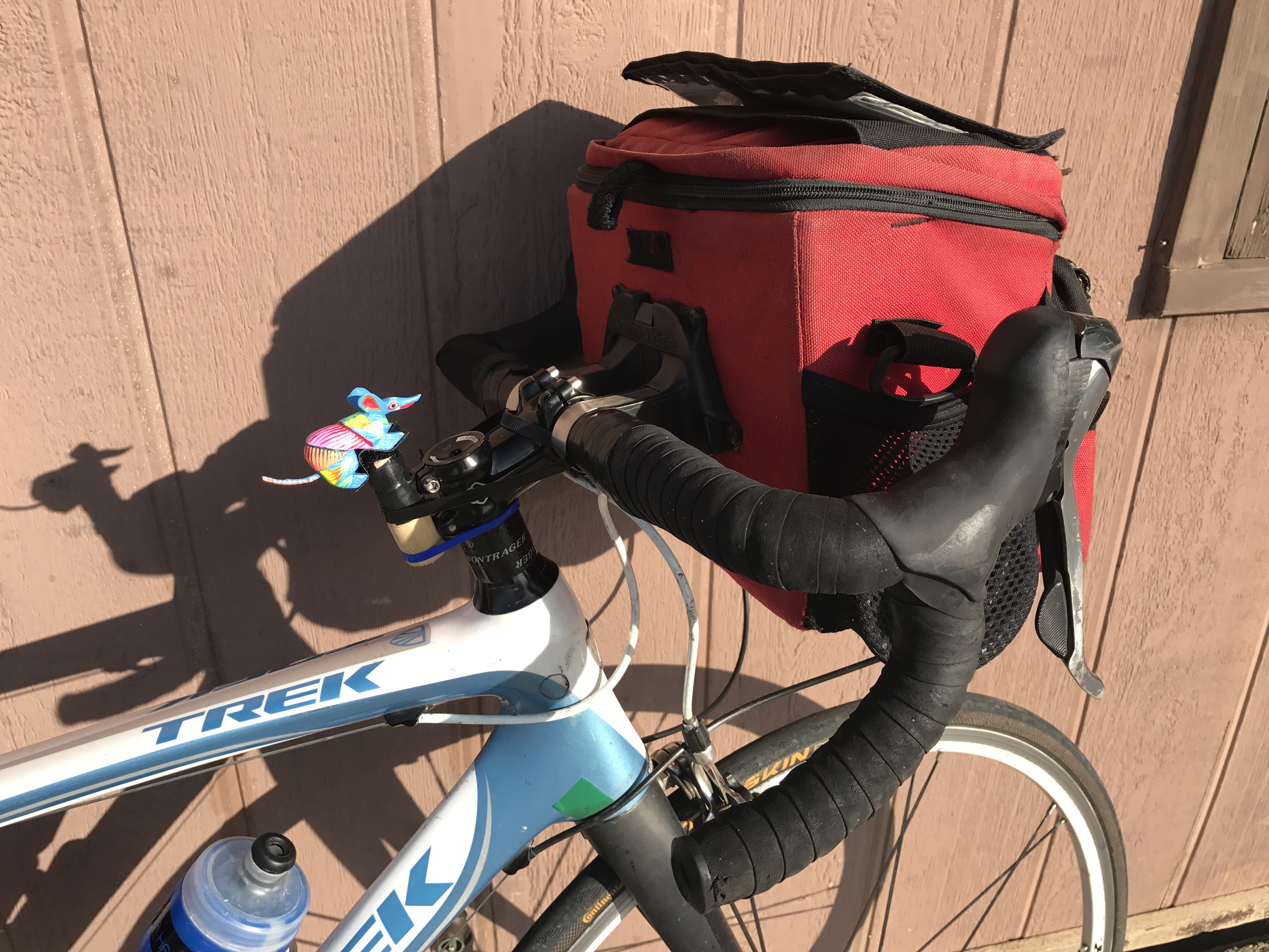
Sweet reward: we had a hotel room last night. No restaurant, but there was beer. Today we are hobbling, but it’s not such a long ride ahead. And we have our new mascot freshly enthroned. Her name is Louisa, for Jefferson’s brilliant Louisiana Purchase, which we are now enjoying.

Thanks once again for keeping us posted. I was missing your updates. Never too many photos ! Yup, rattlesnakes…. incredibly impressive. Thankfully they are not aggressive. Continue to travel safe !
LikeLike
Thanks, Jacqui.
LikeLike
Absolutely love both the pictures and the stories. I’ll stick with our garter snakes!
LikeLike
Thanks. Yes, another reason to love Maine.
LikeLike
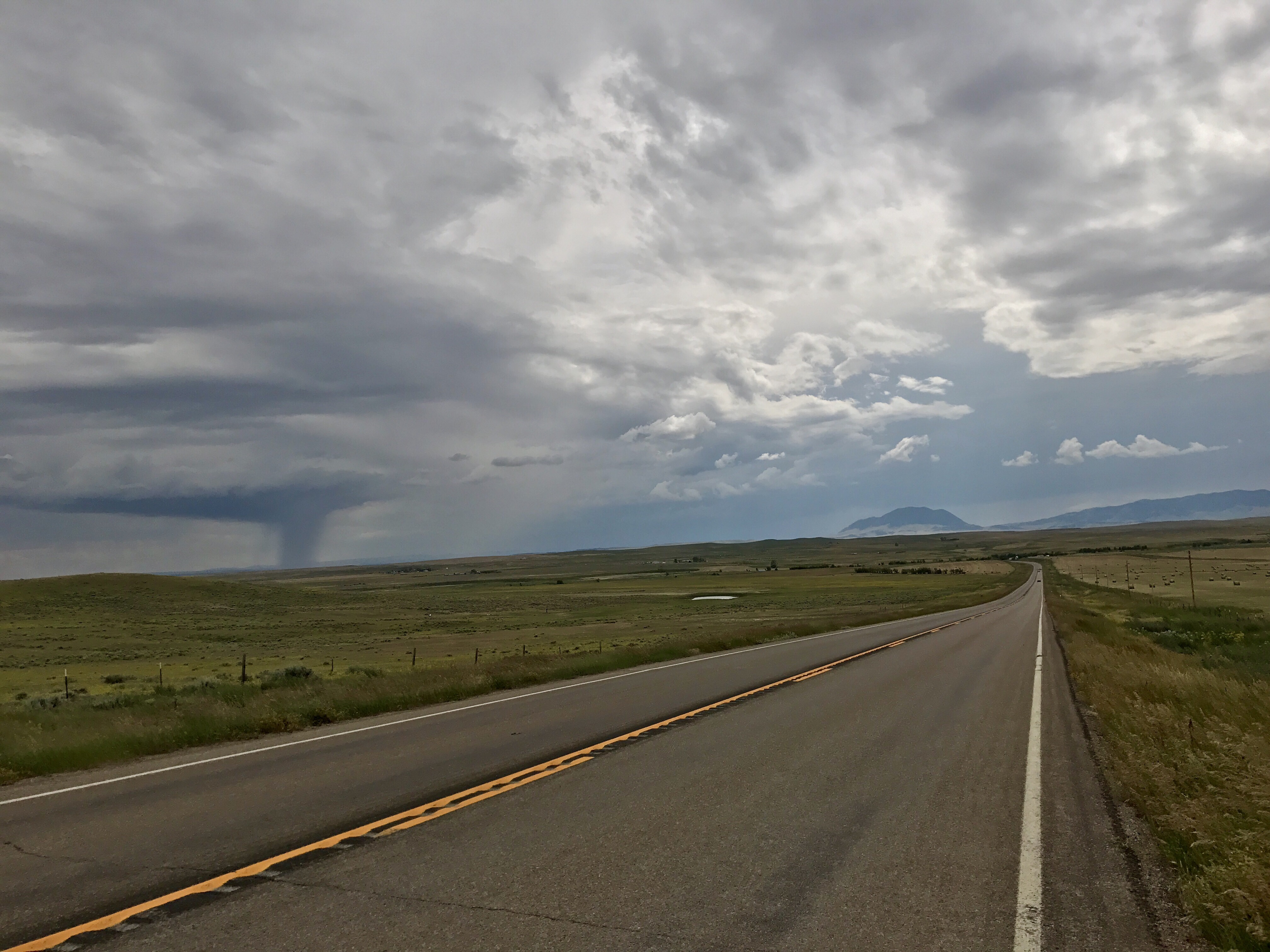
We are loving following this whole adventure. Beautifully written and insightful. We’r hoping that was not a tornado In the back of one shot. May the wind stay at your backs now that you’re back on the road.
LikeLike
Thanks, Peggy. I too thought that might be a tornado and asked someone at a little store we passed. She didn’t know but said a tornado had blown out her windows a couple of weeks ago. As for winds, it’s been a little difficult lately, I must say.
LikeLike