To the Breaks

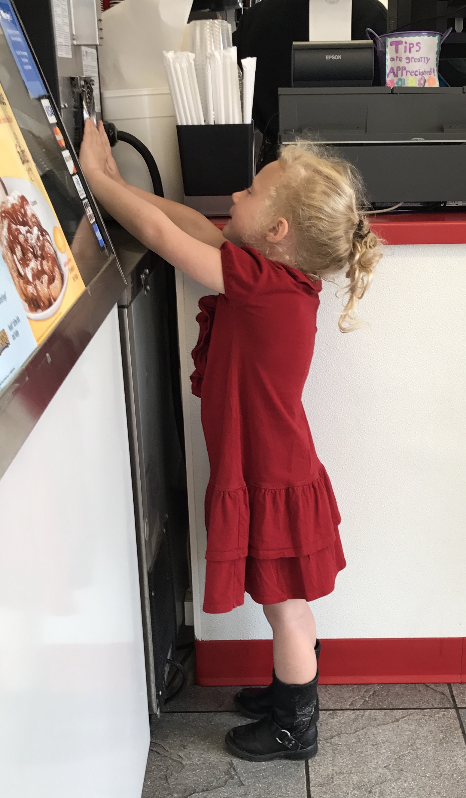
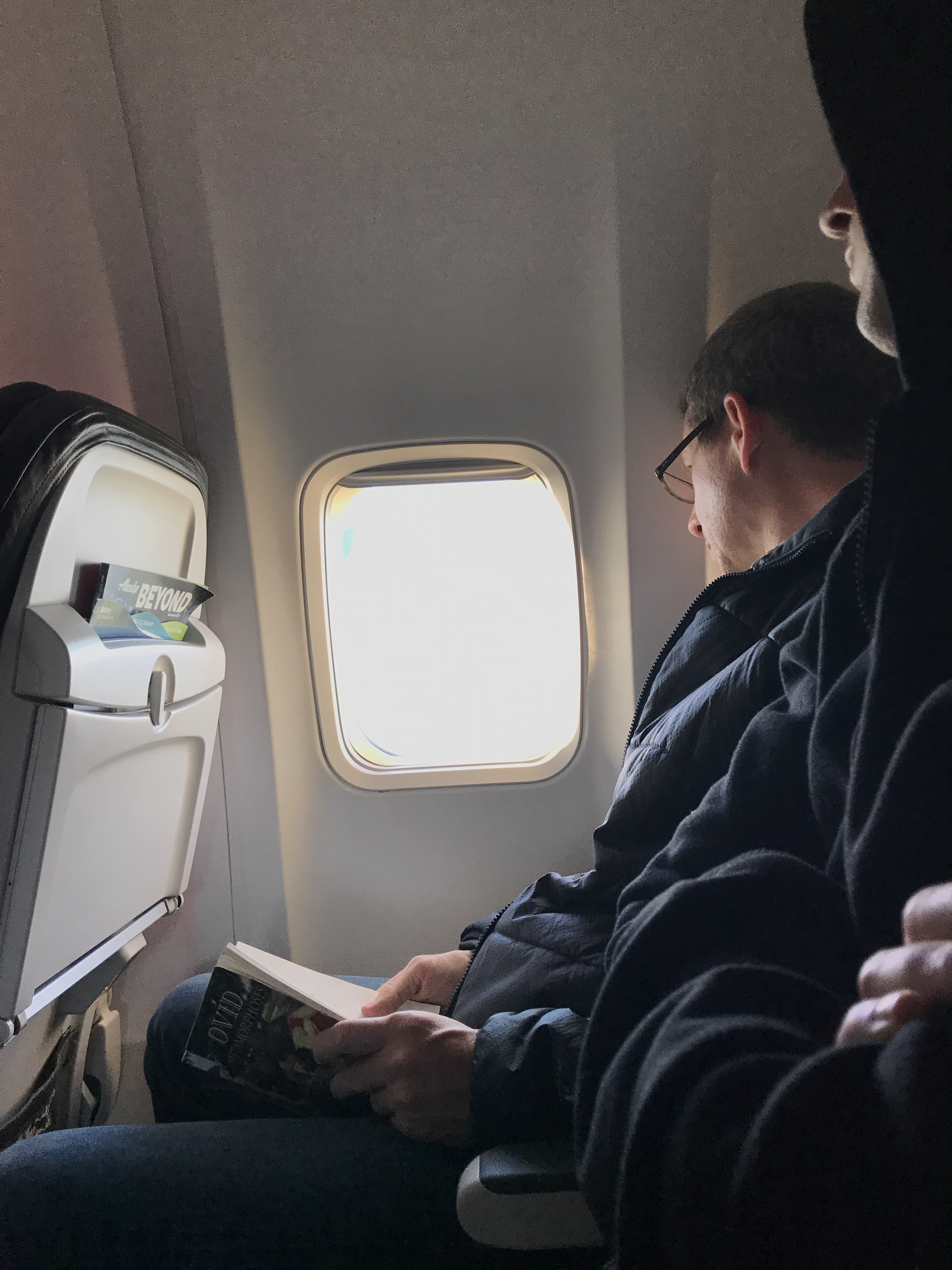
We have spent a week going home, to a wedding, and back again.  

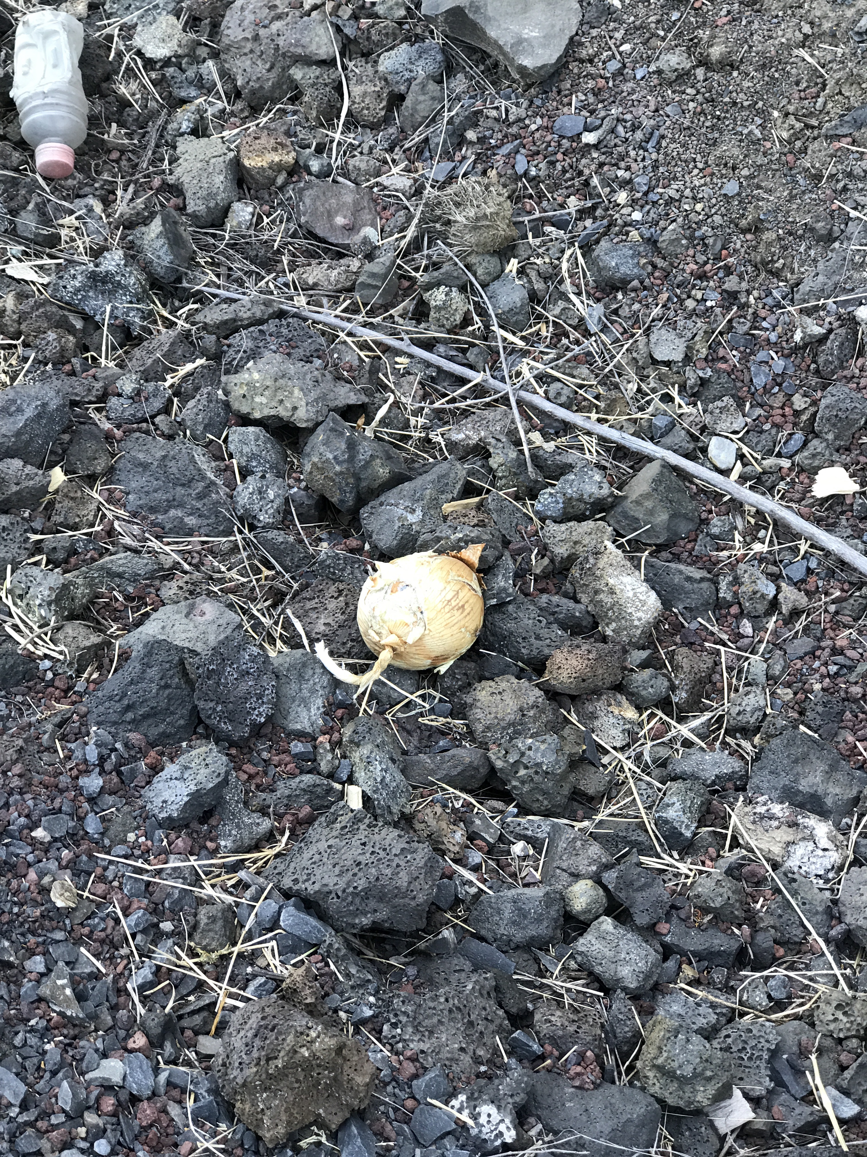
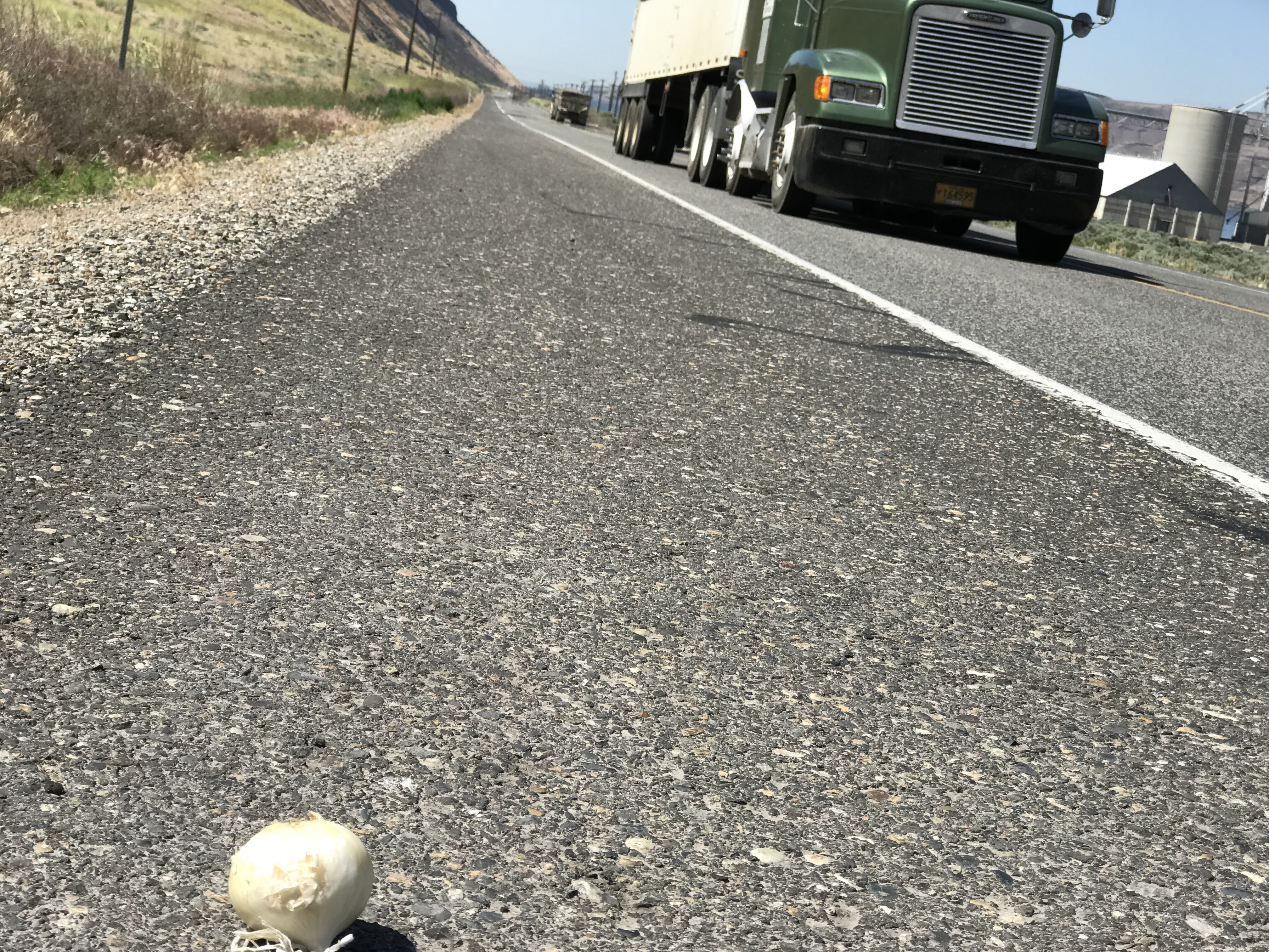
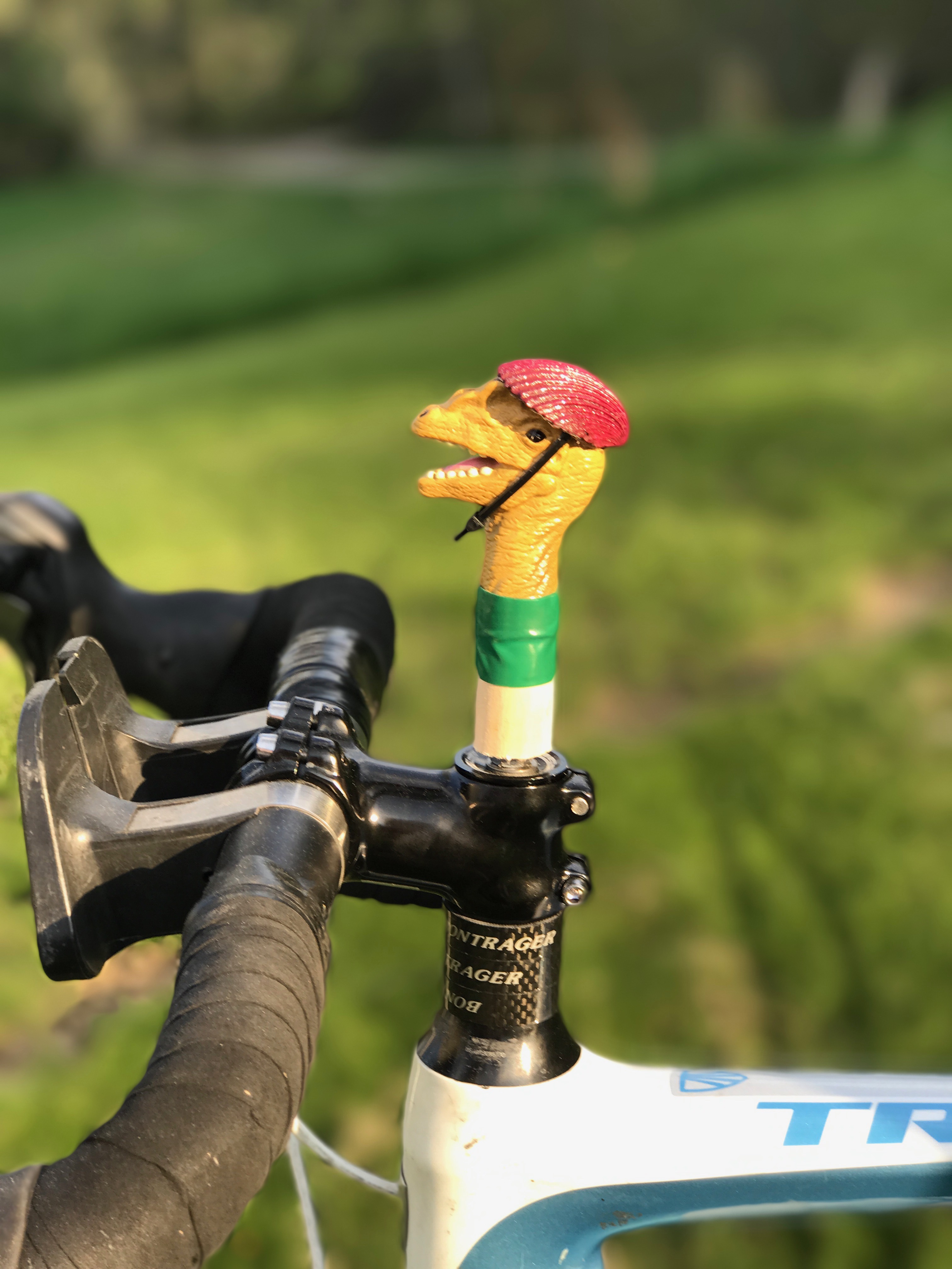
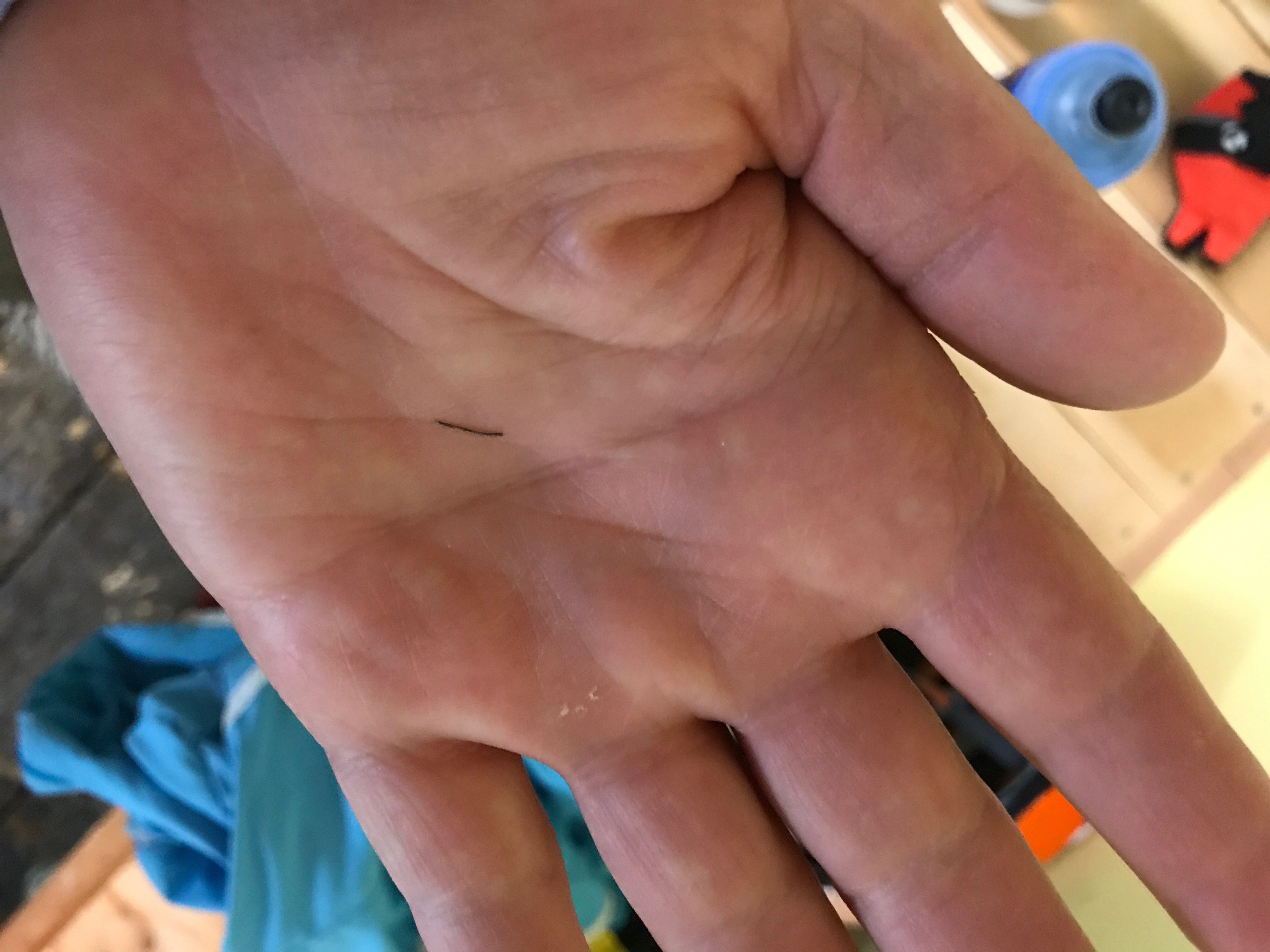
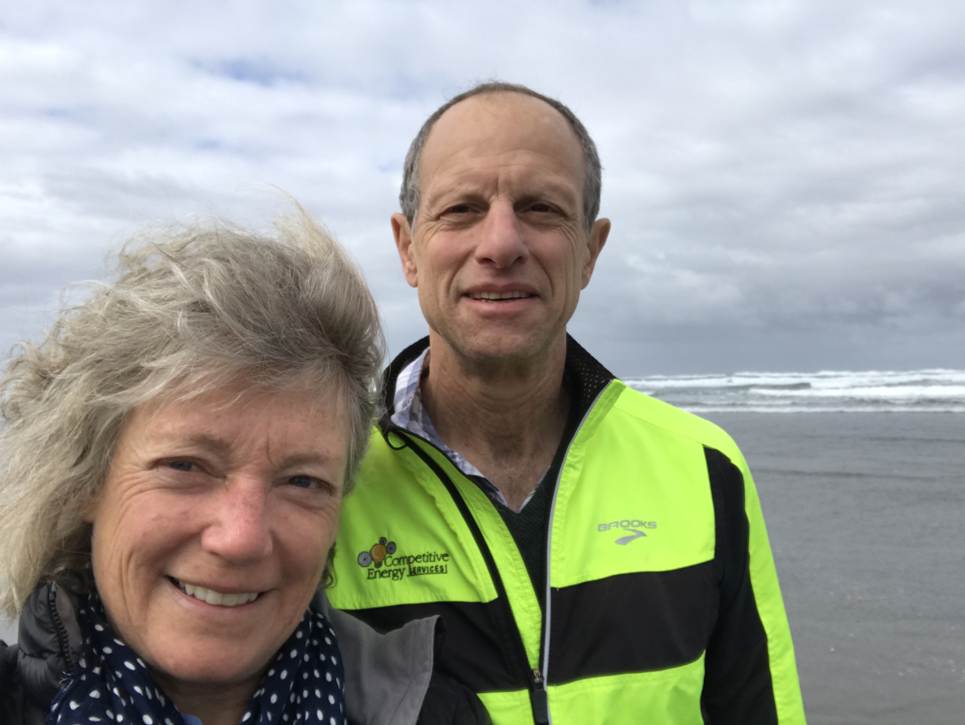
We have a new mascot, thanks to Anna, who found it while on vacation. This for-now clean, delicate, and shiny creature will take her turn on my handlebar until she decides to jump off.

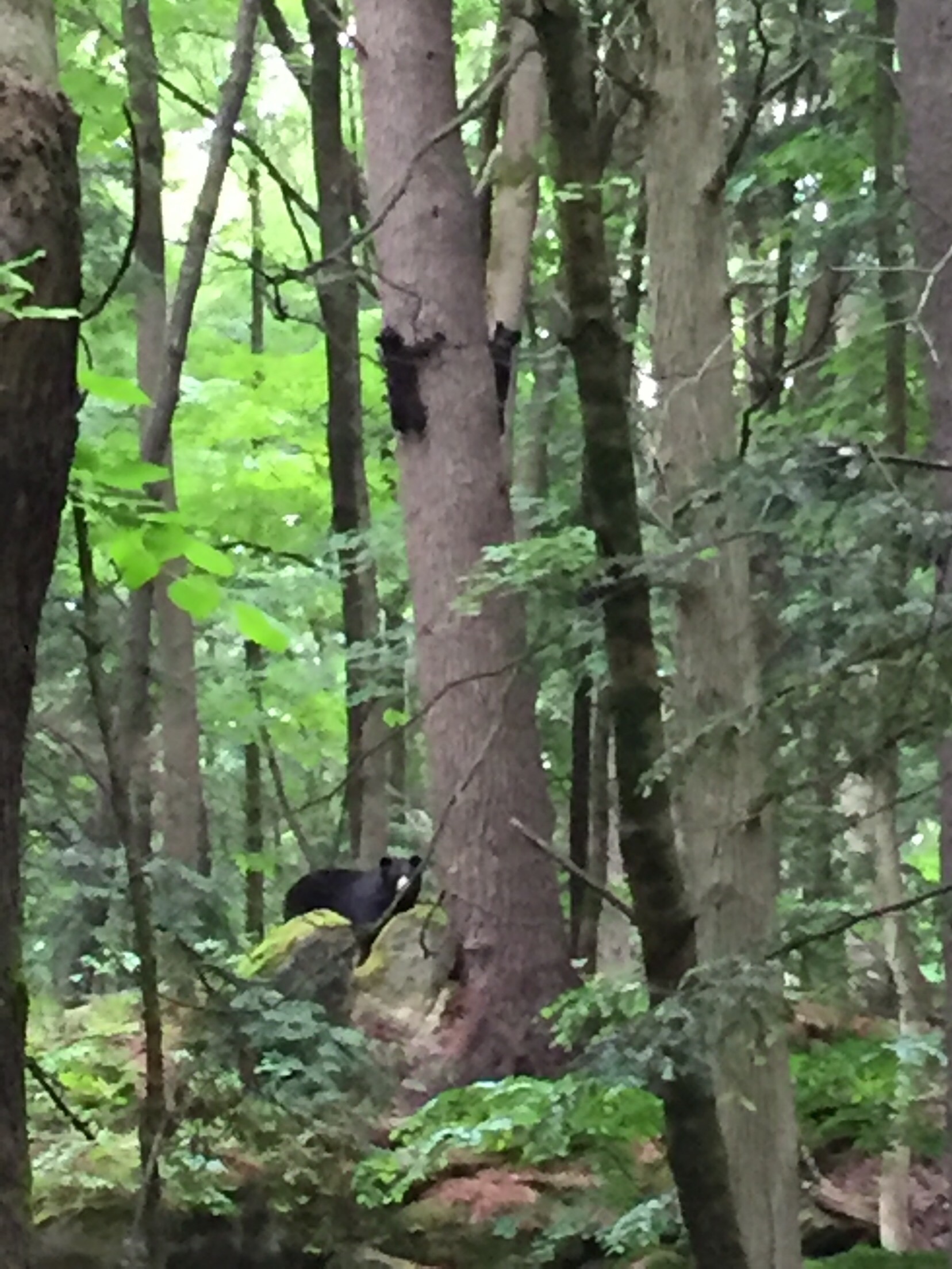
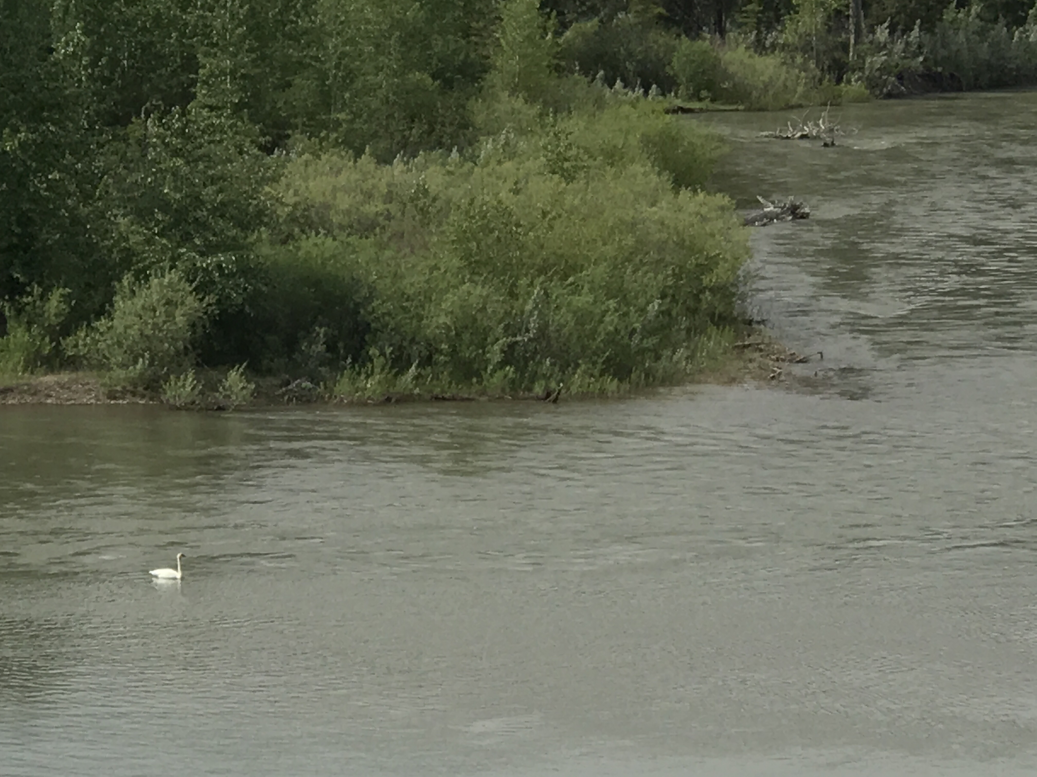
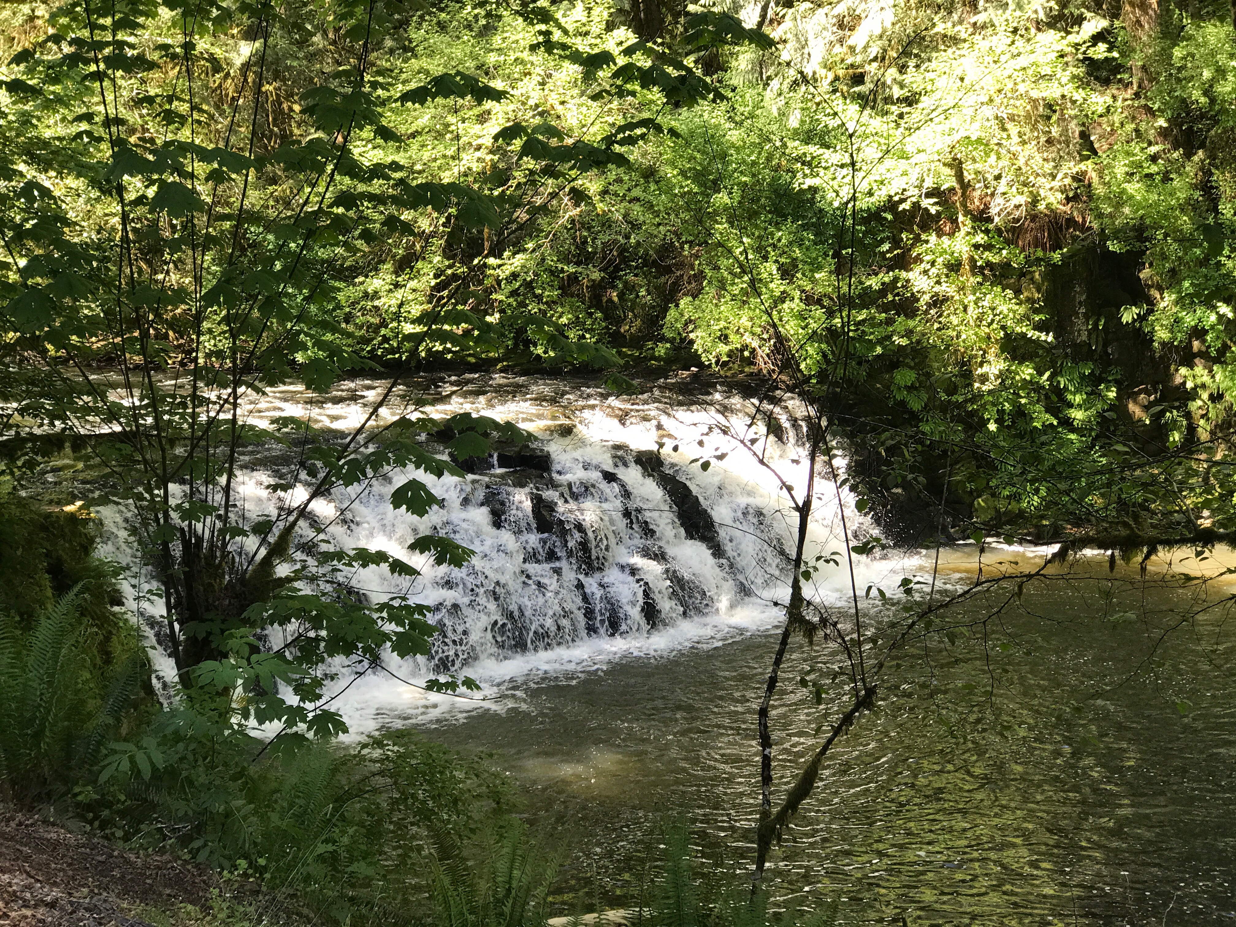
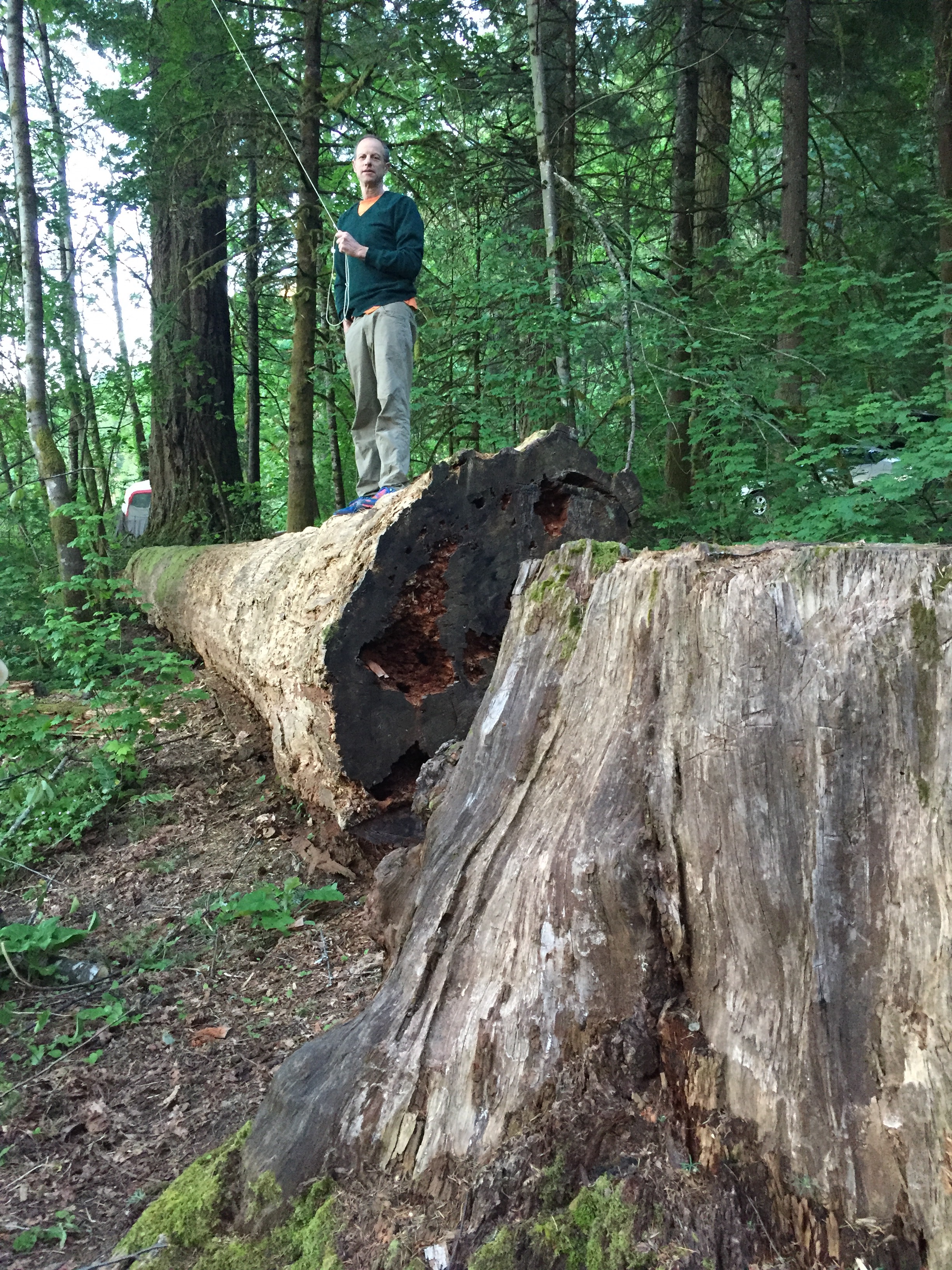
Our time back East was lovely. Caroline and Greg put Oakhurst milk in the fridge so I could immediately have my favorite tea in my favorite cup in my favorite porch armchair. Kim took me paddling on Casco Bay. We saw all our kids and the clan at Amanda and Leo’s wedding. And these additional guests hung around 200 feet into the woods behind the wedding arbor.

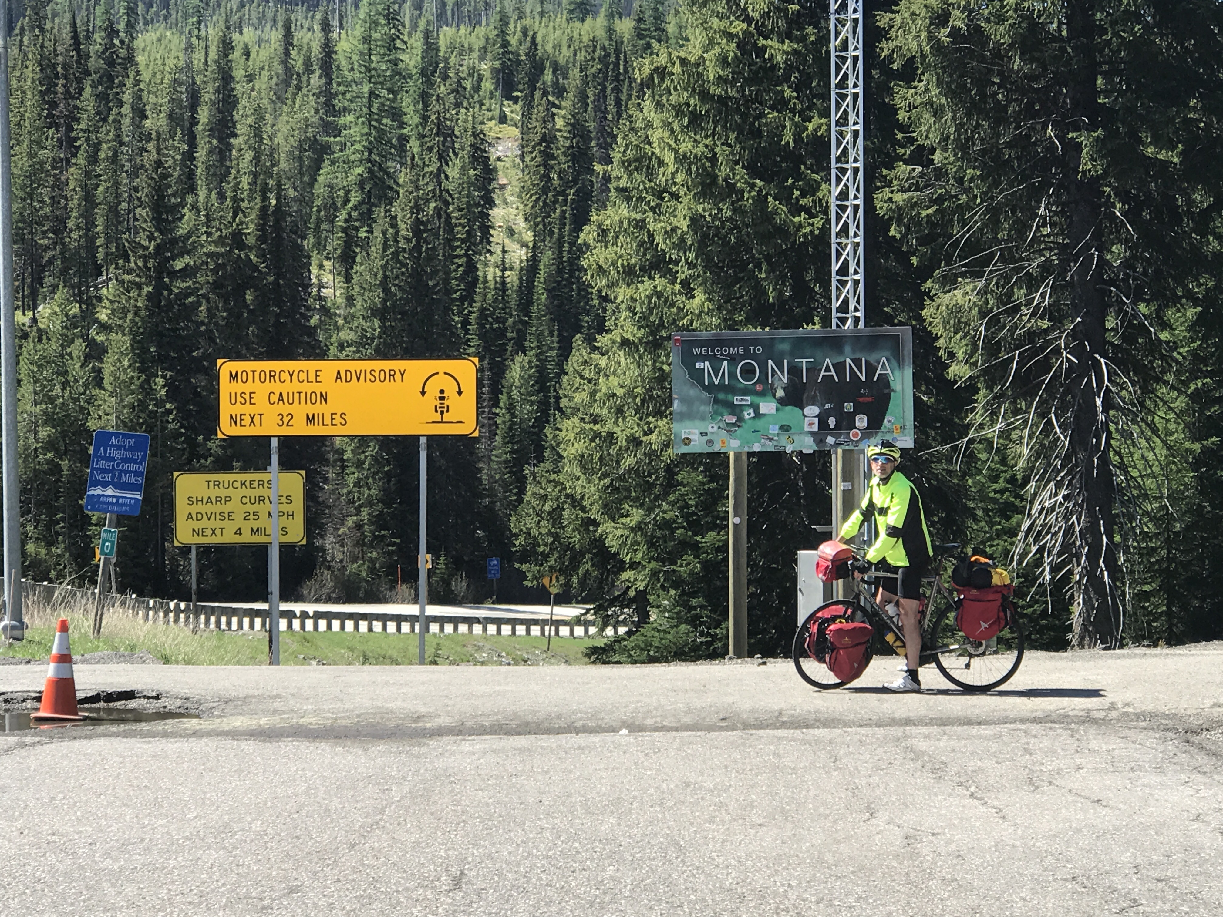
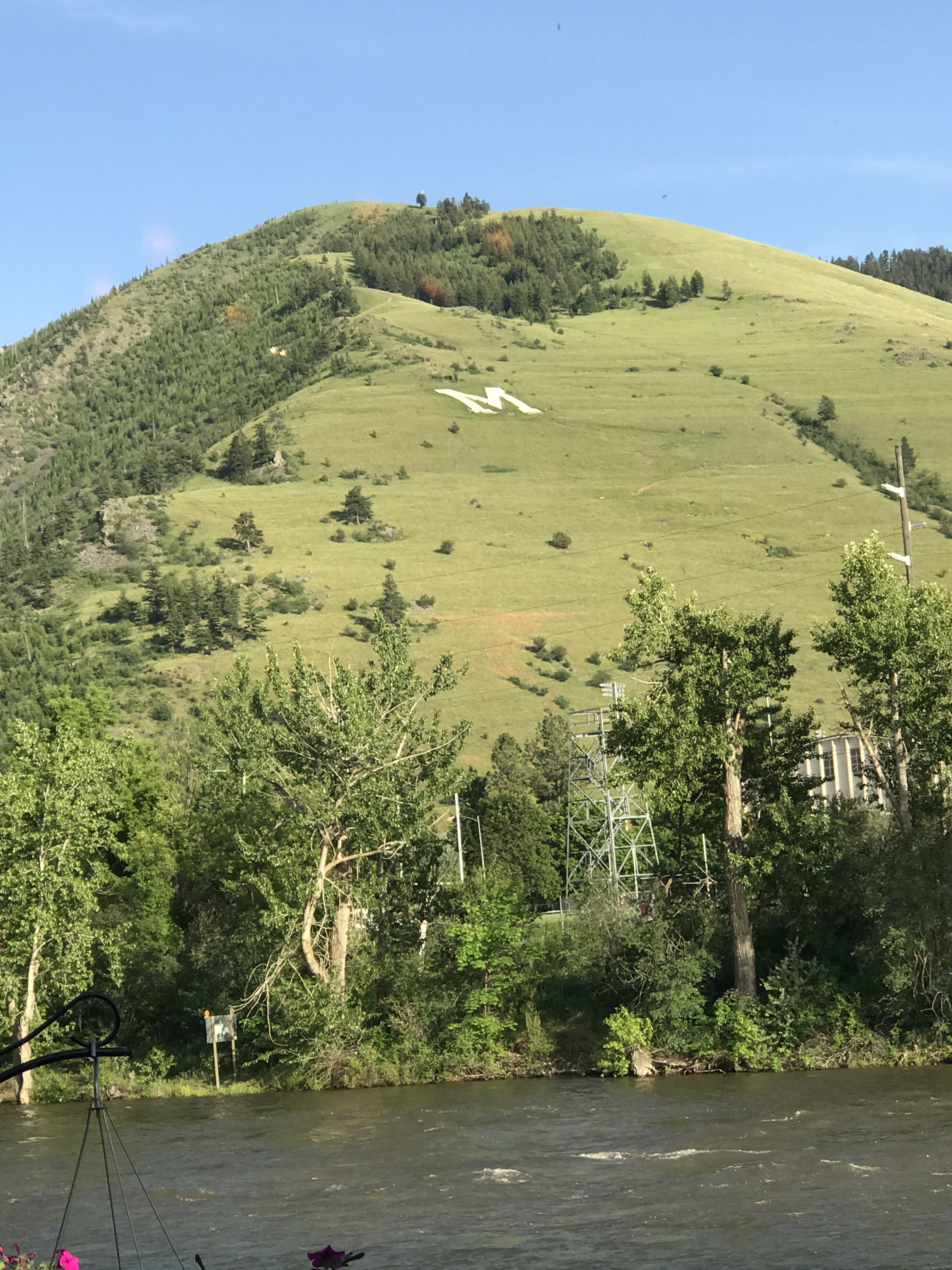
After the celebrations we hurried back to Great Falls, Montana, and resumed our journey. 

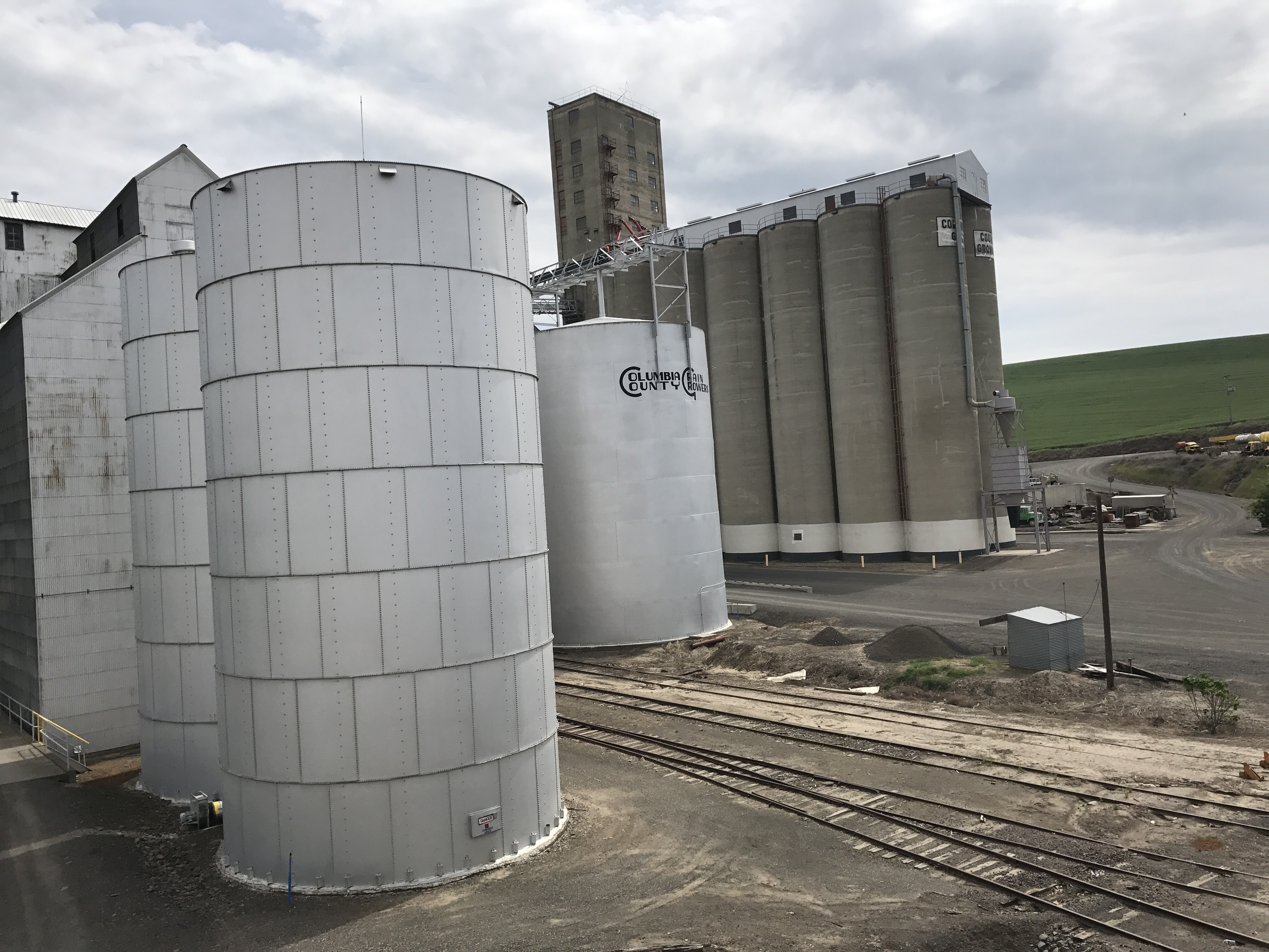
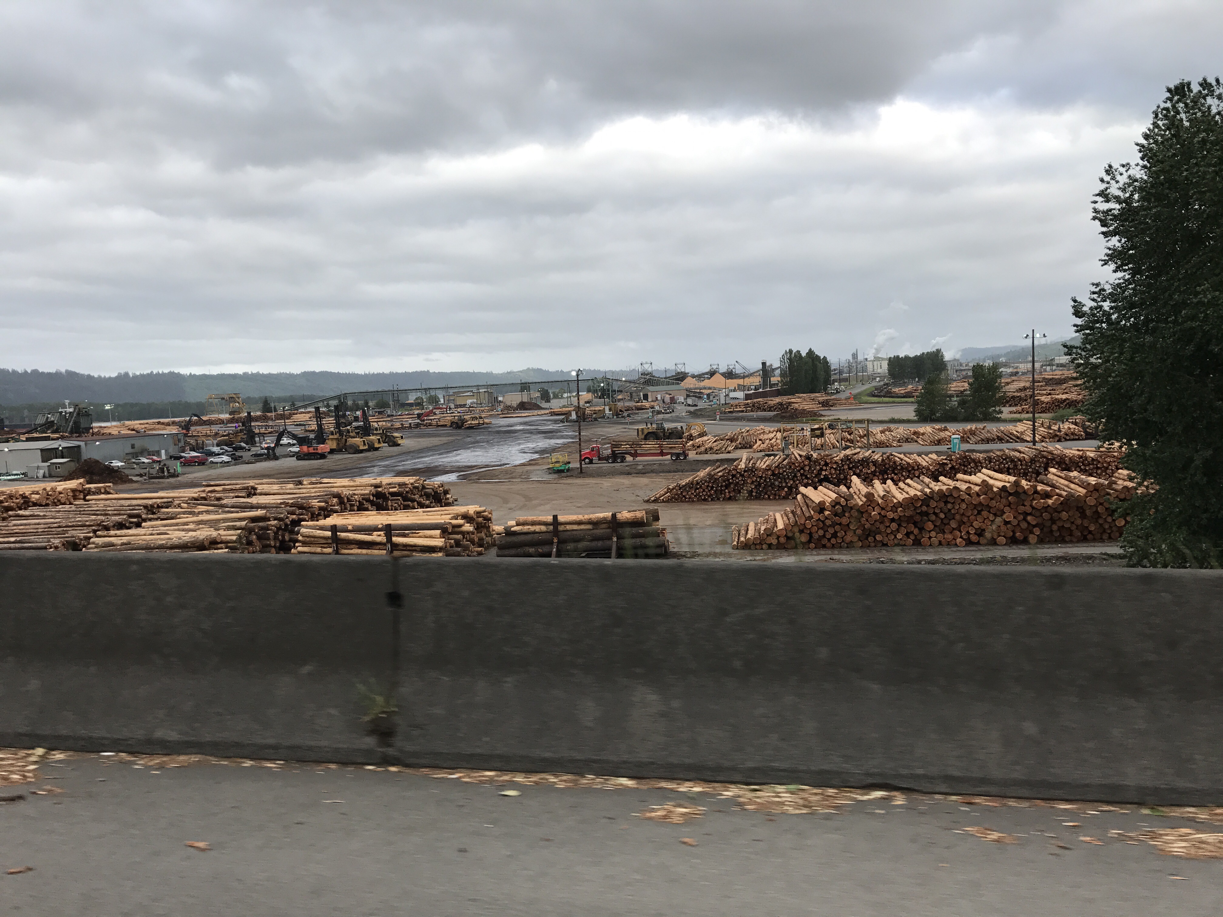
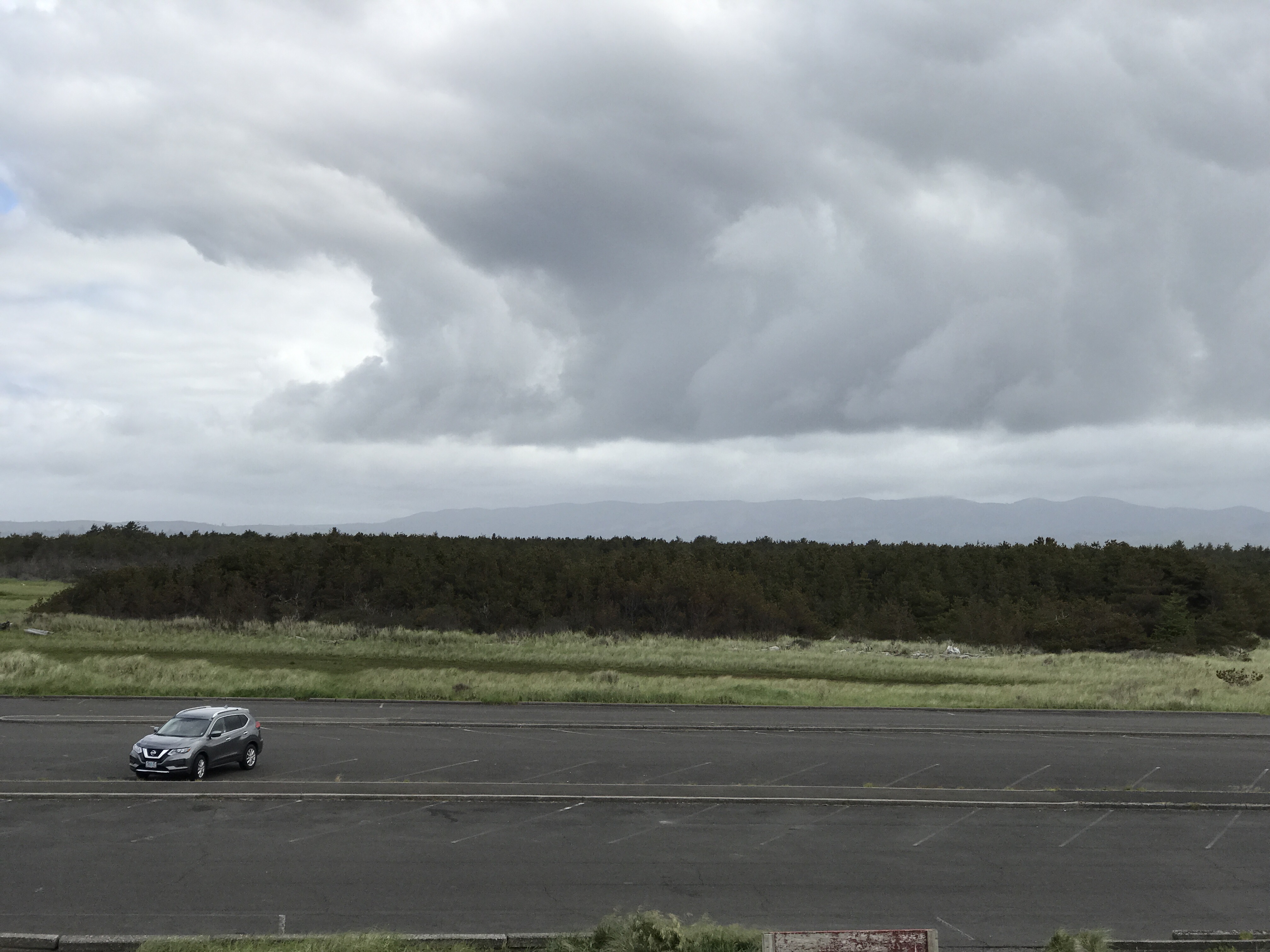
Great Falls is a grid of pleasant little houses bordered by the Missouri River on one side and a highway of chain stores and gas stations with casinos on the other. The quilt ends suddenly in a Walmart, and then immediately the prairie begins.


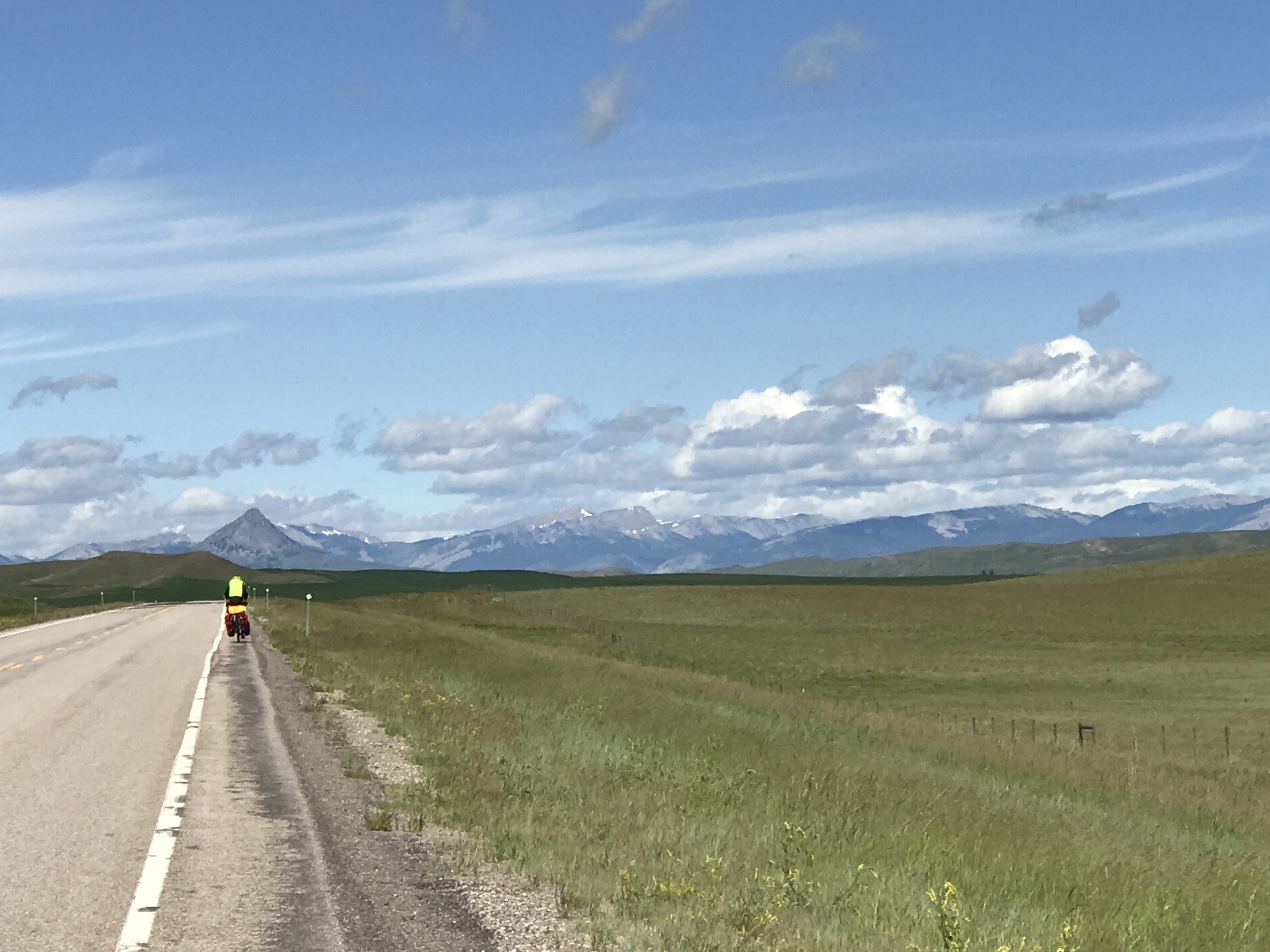
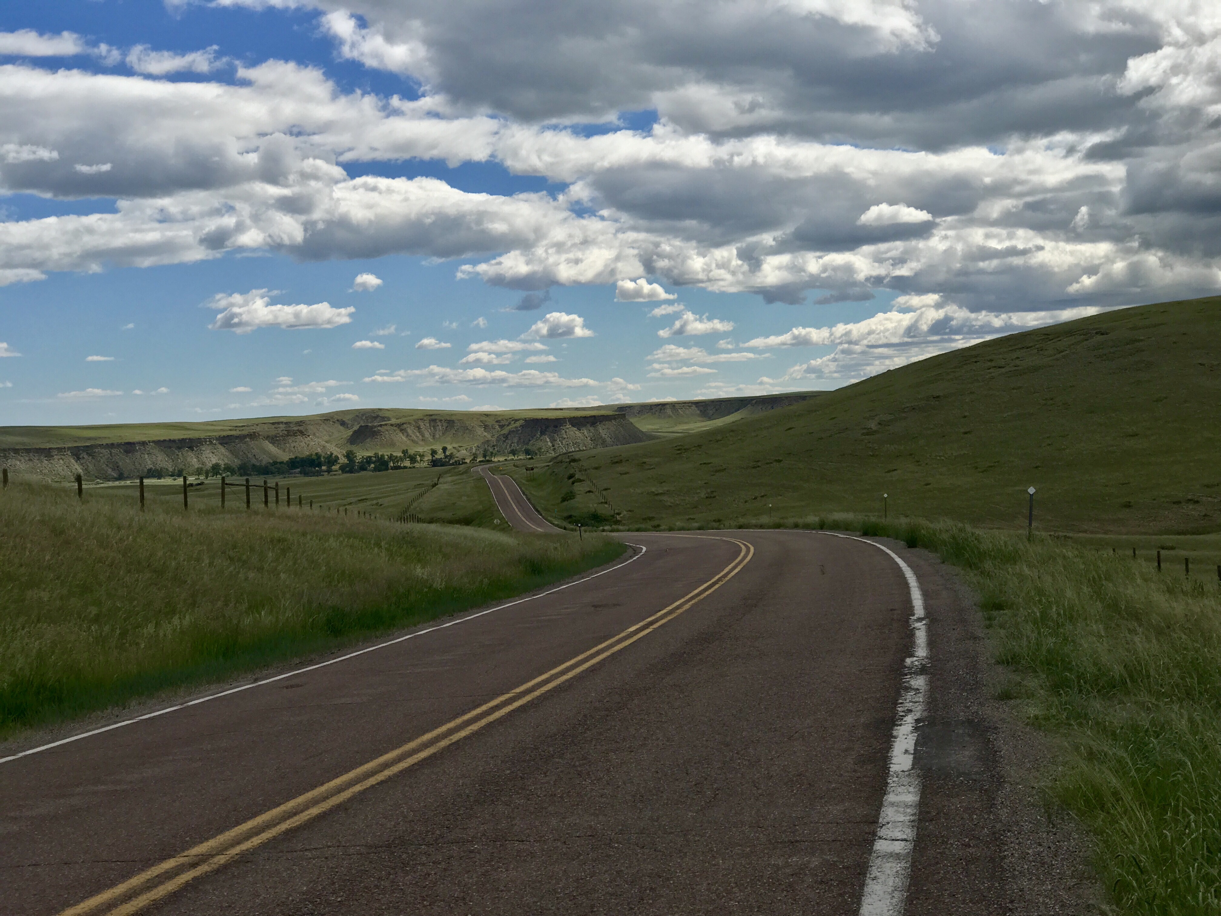
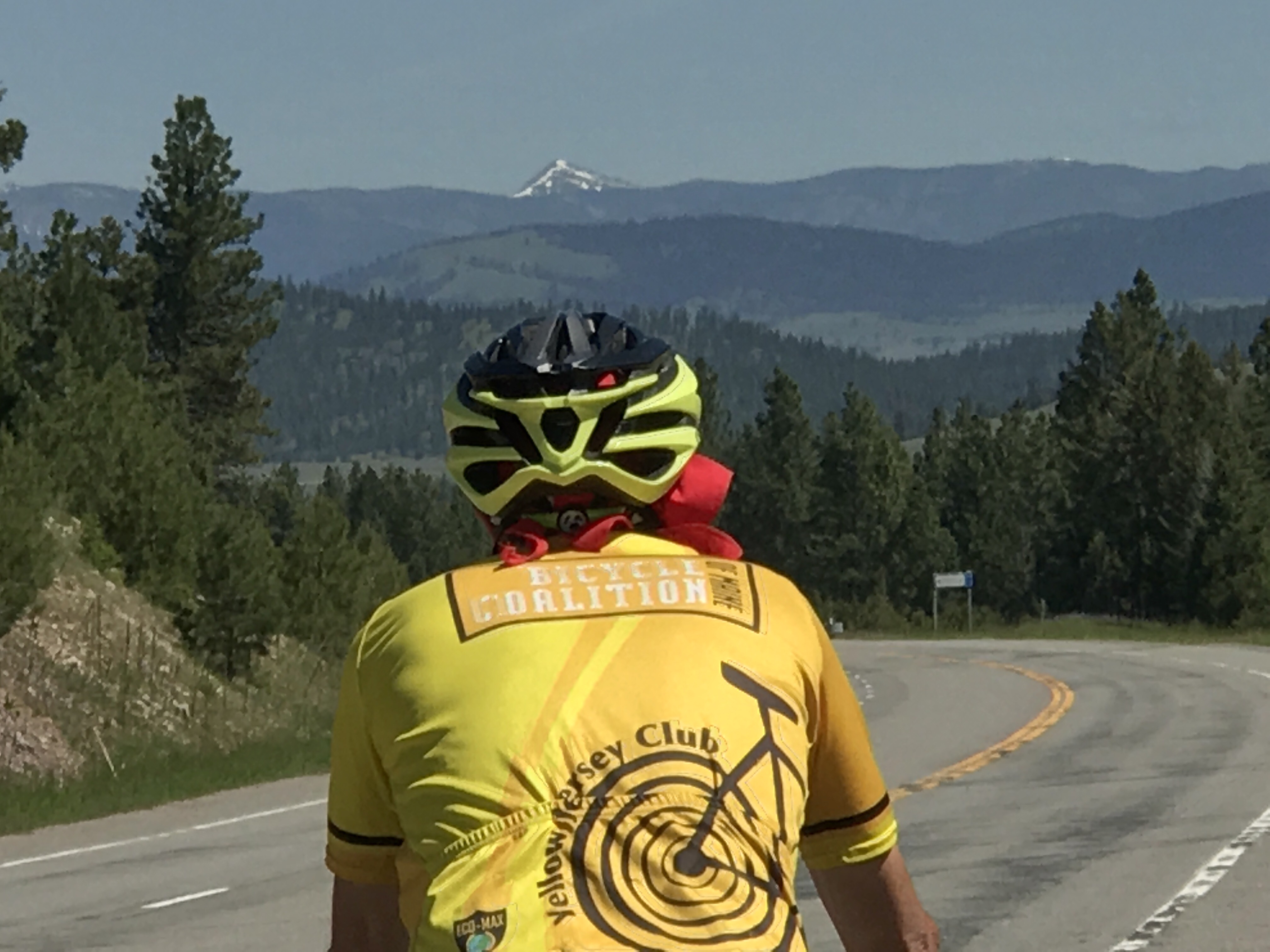
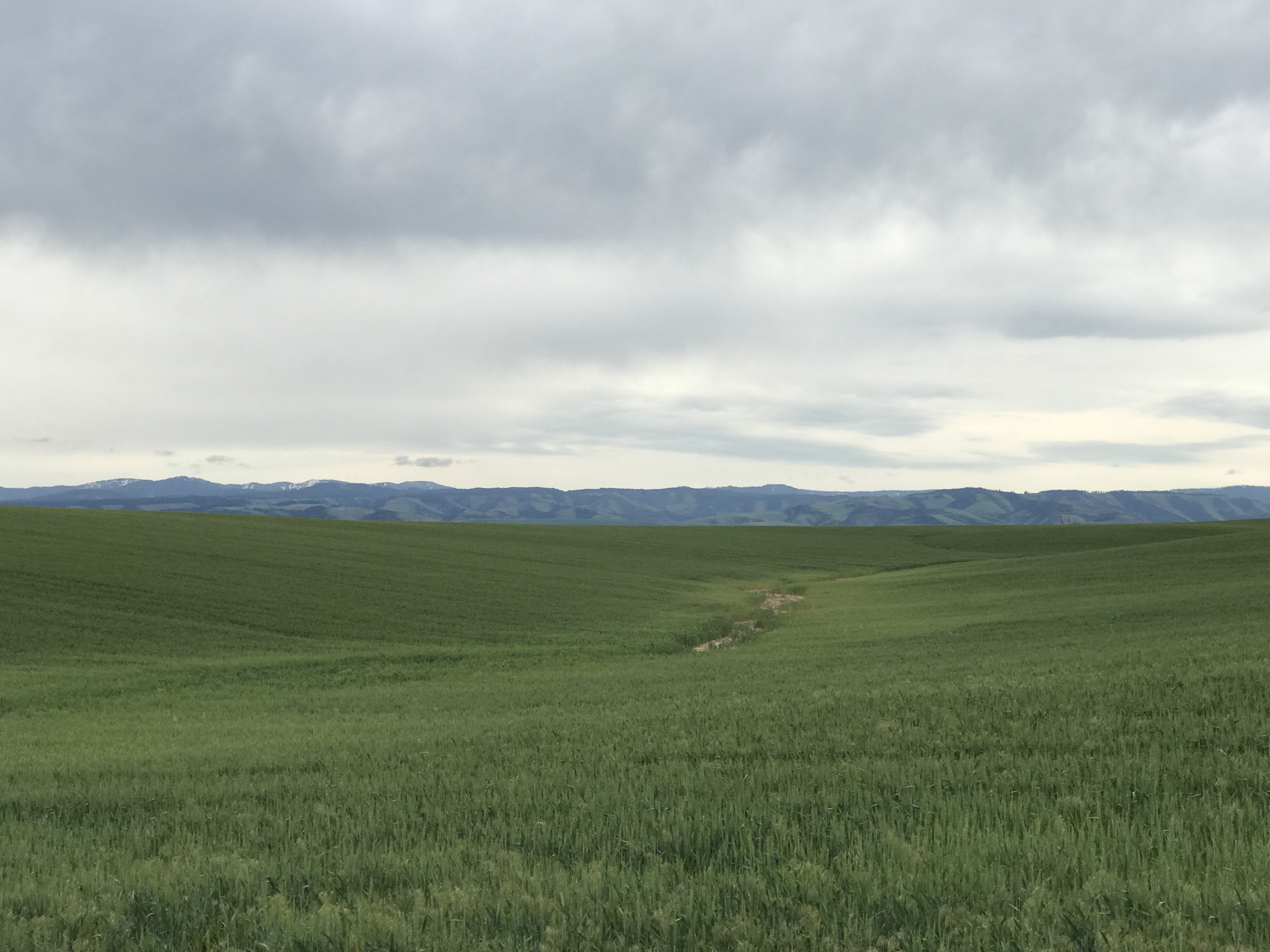
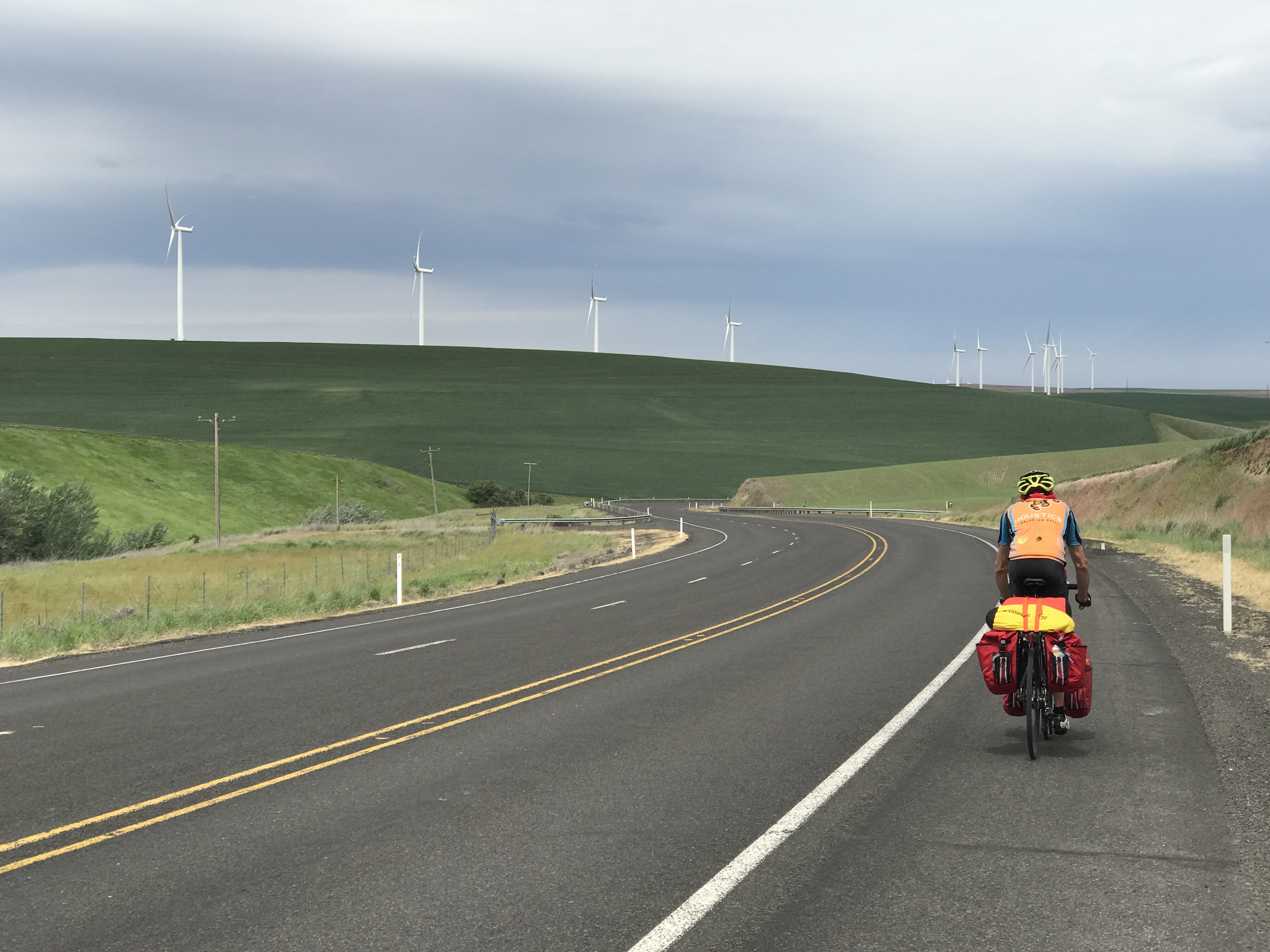
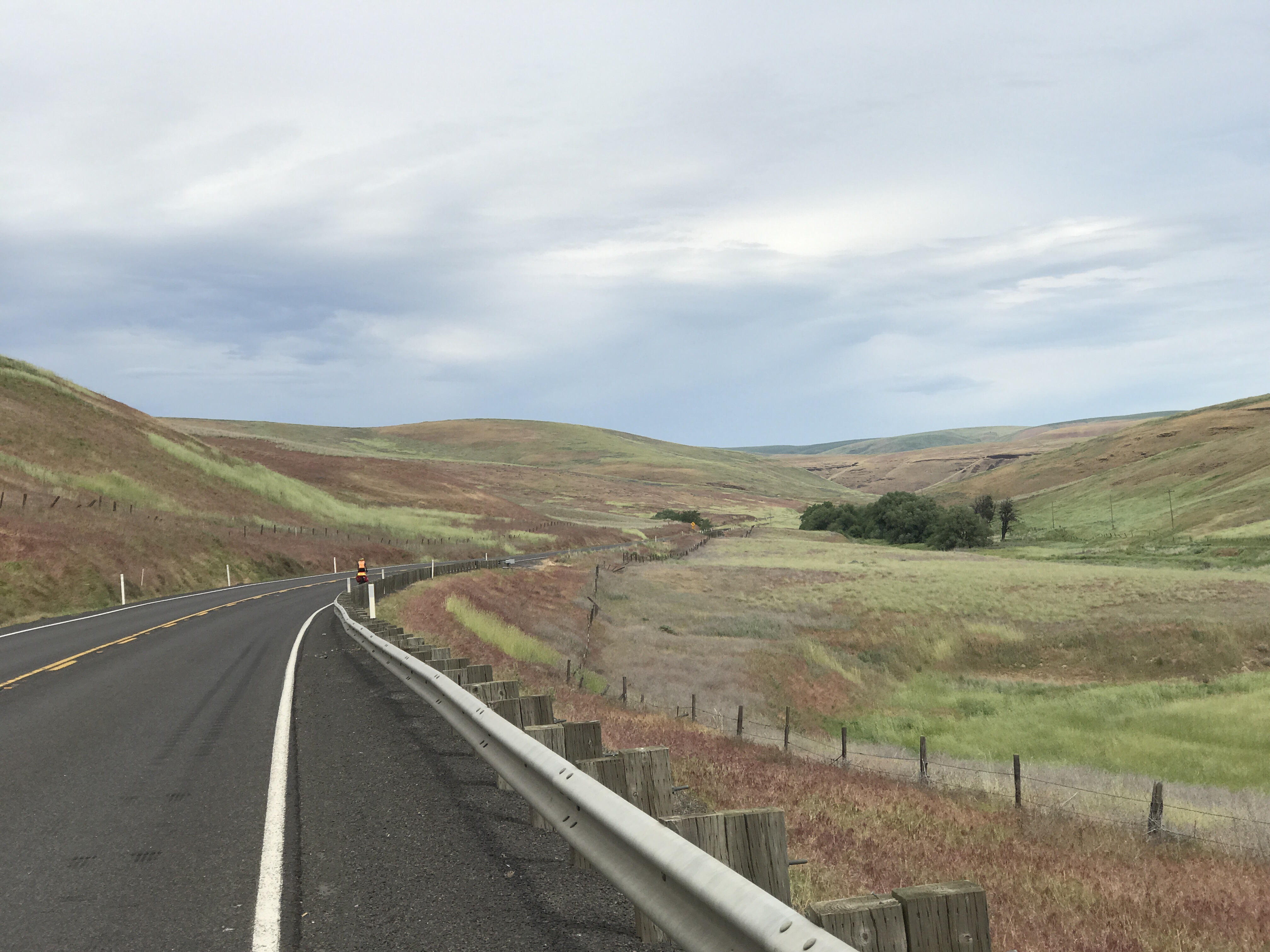
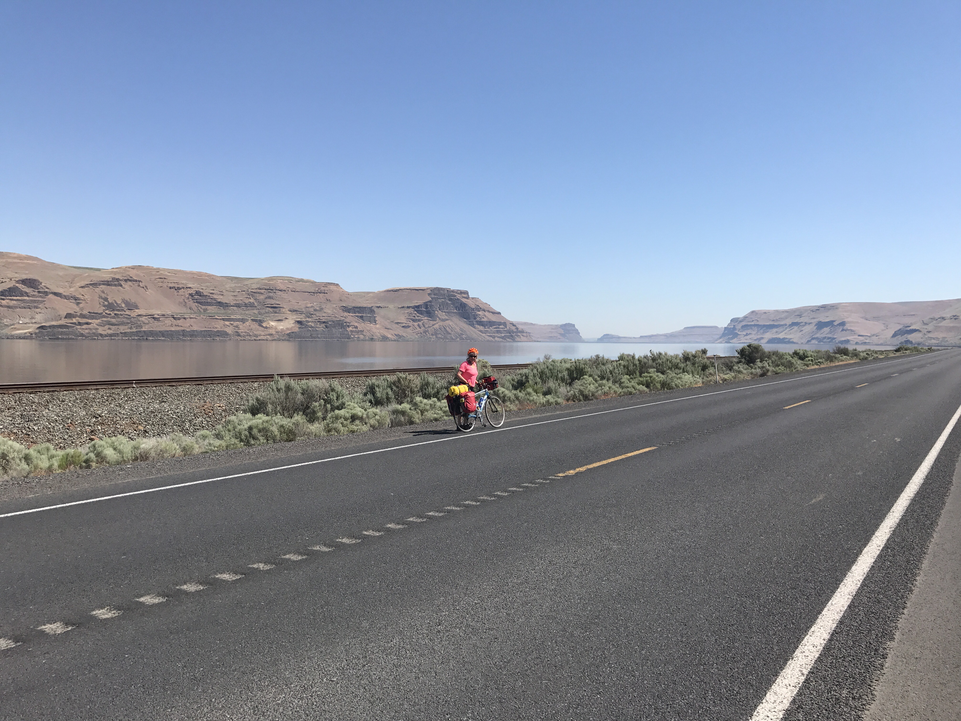
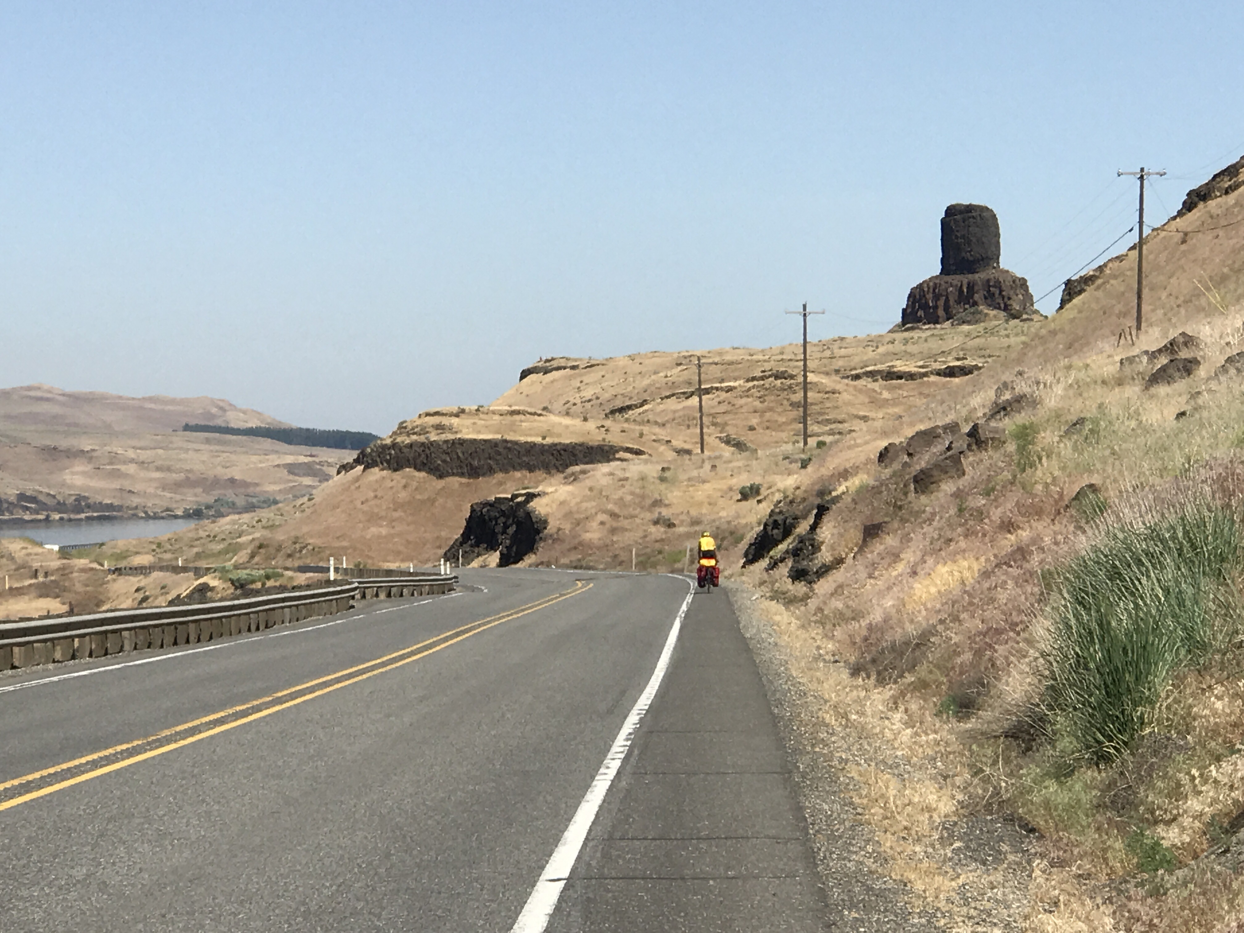
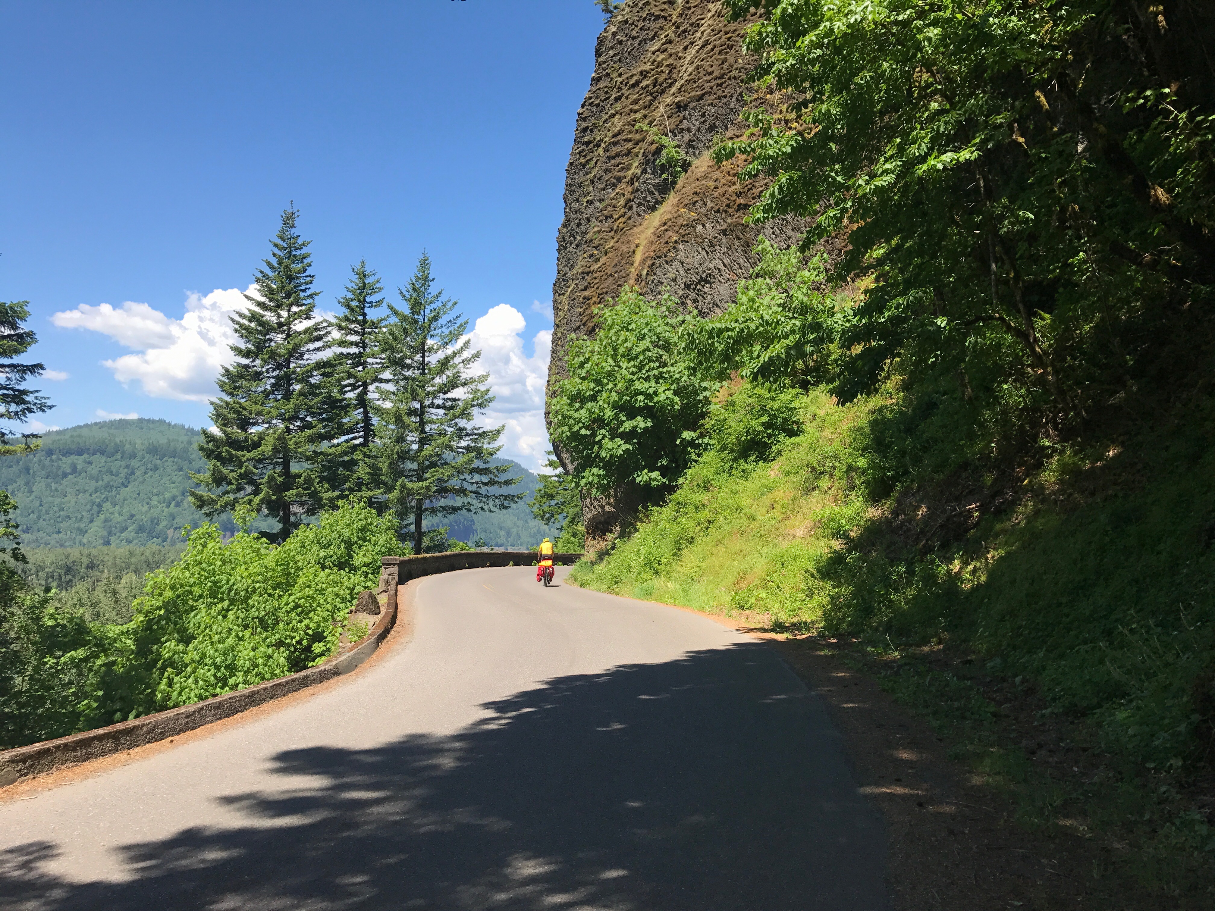
We turned onto a state road that was just two small lanes but empty enough for an impressive speed limit.

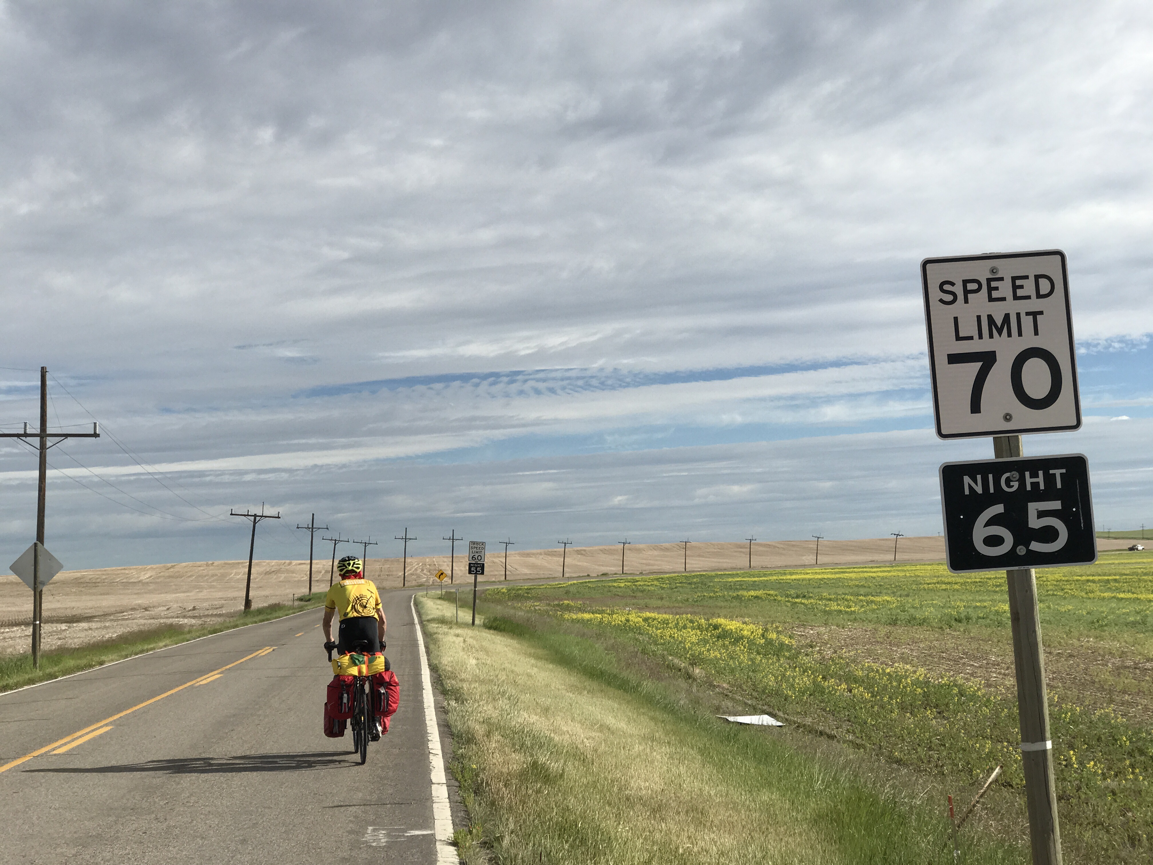
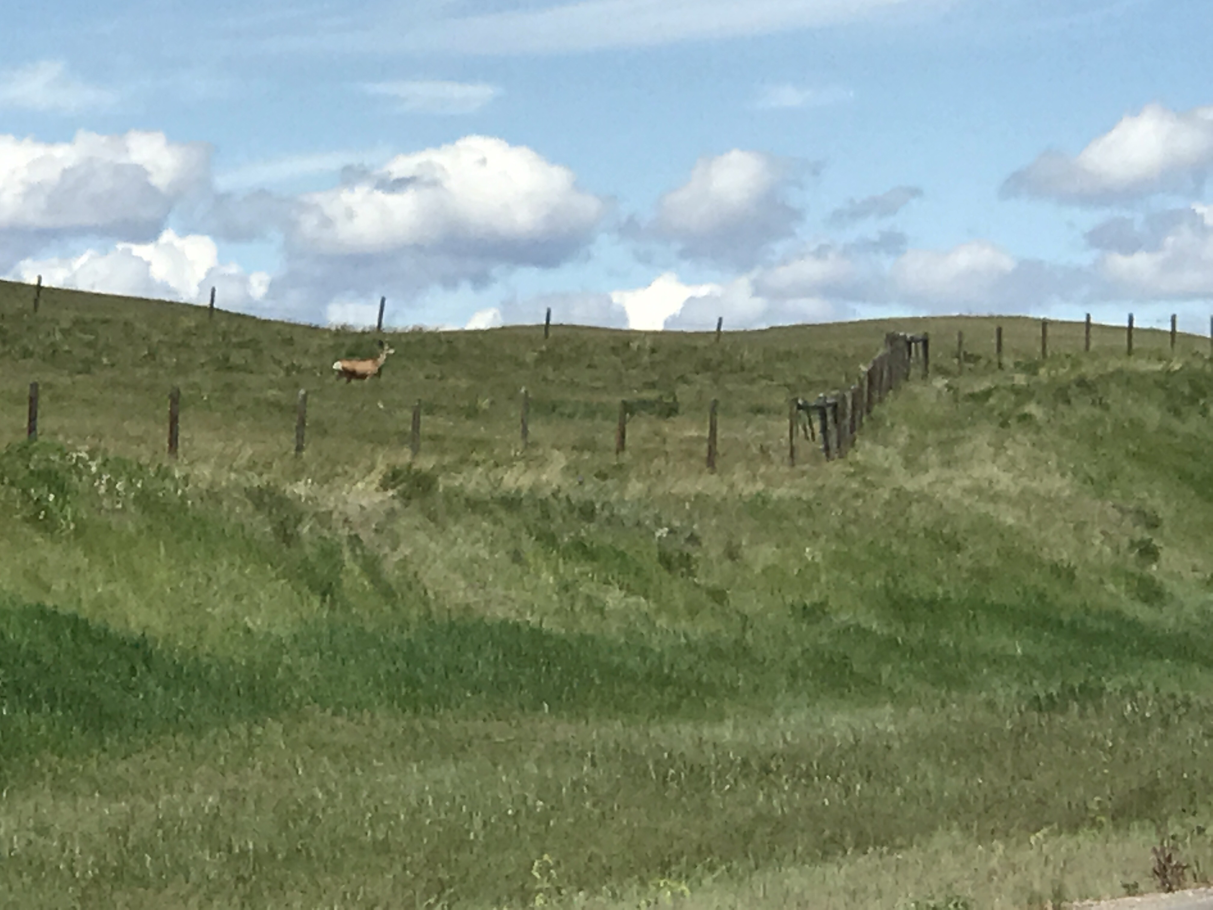
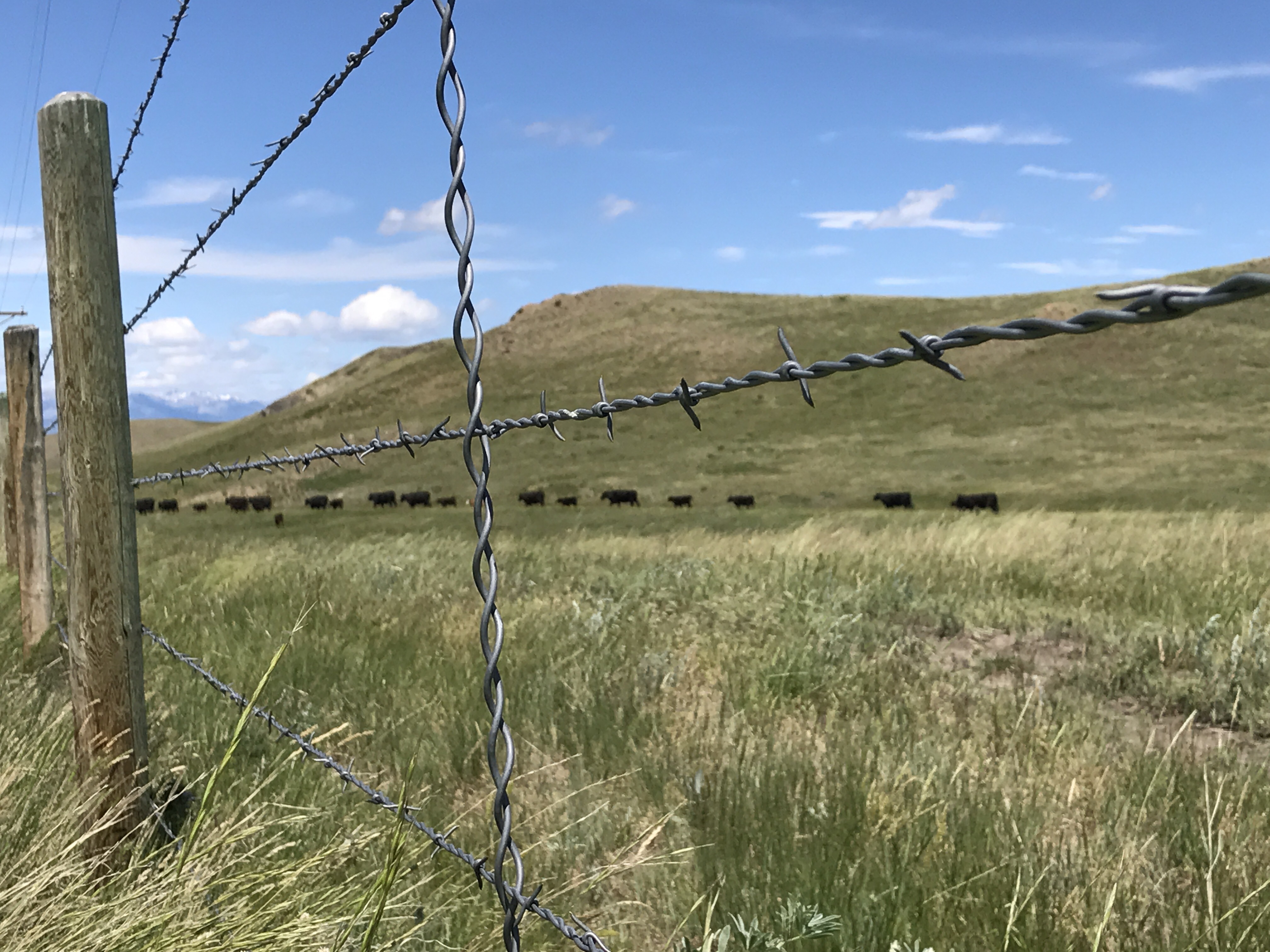
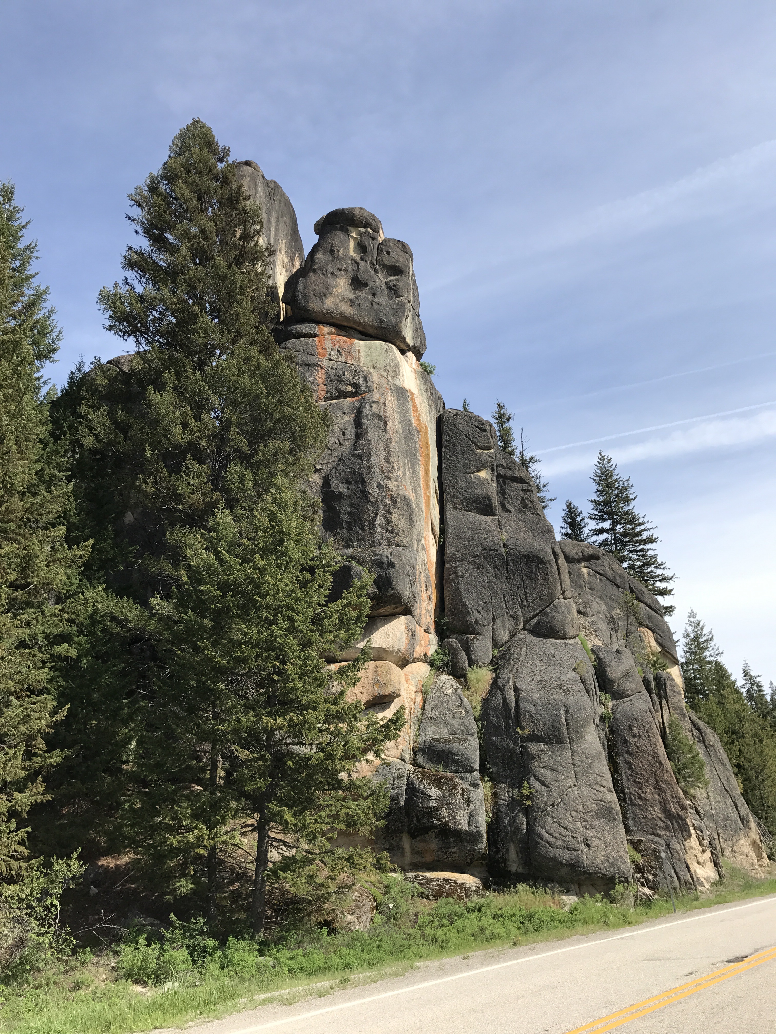
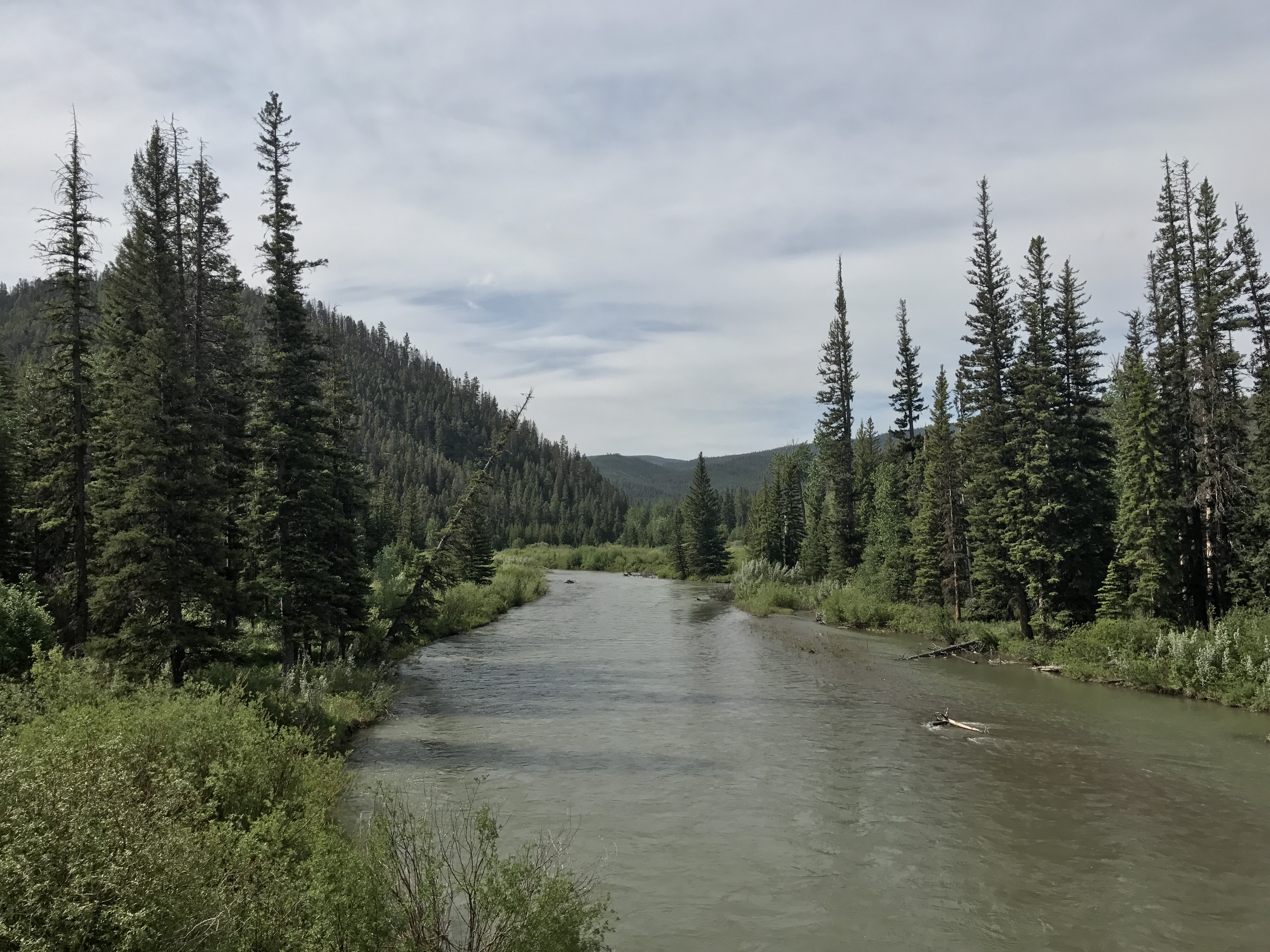
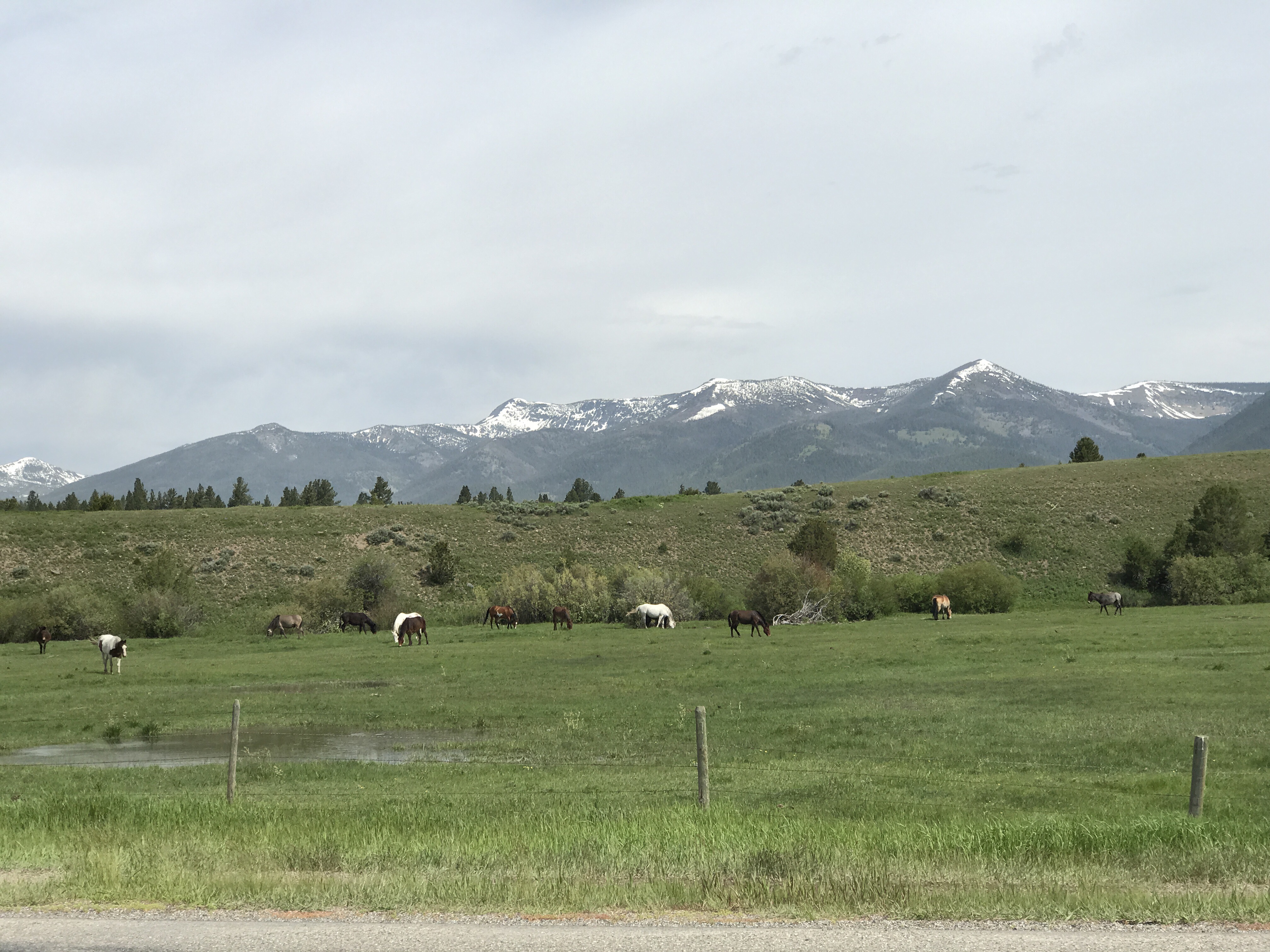
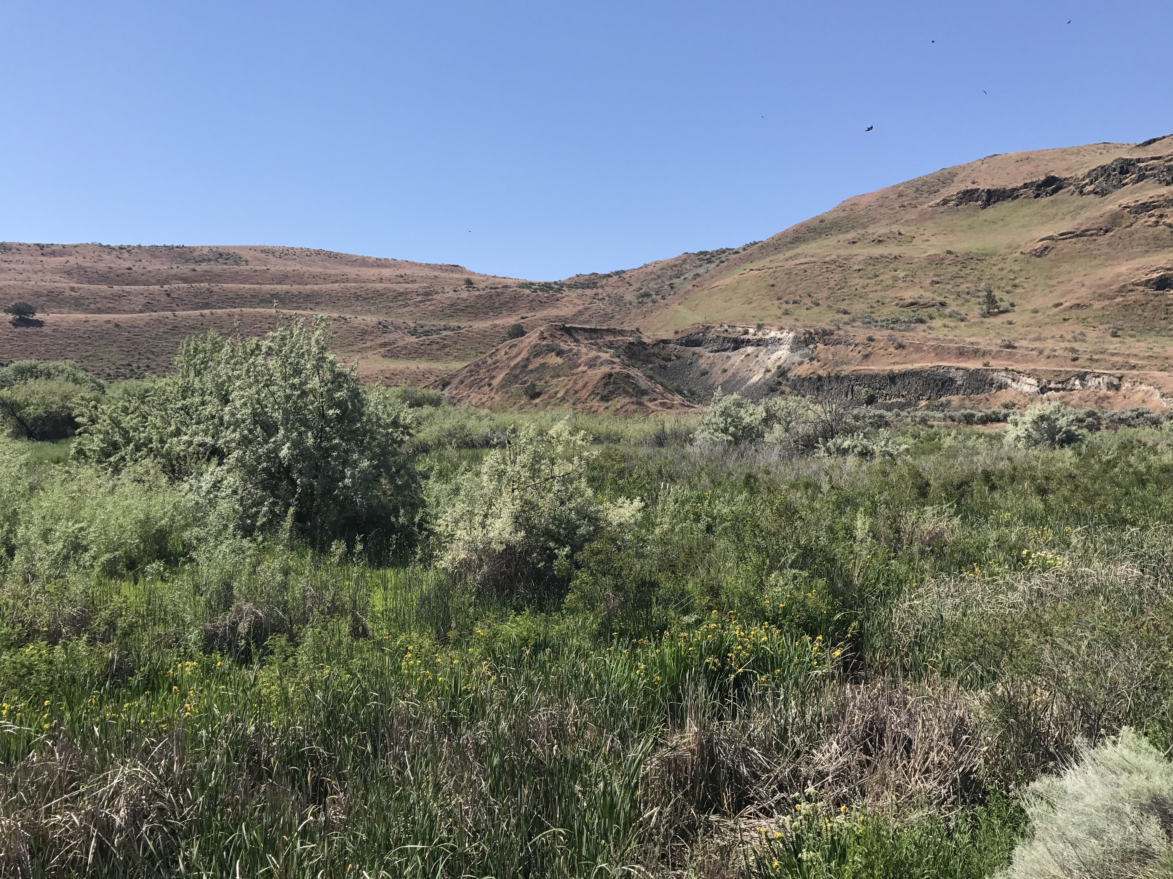
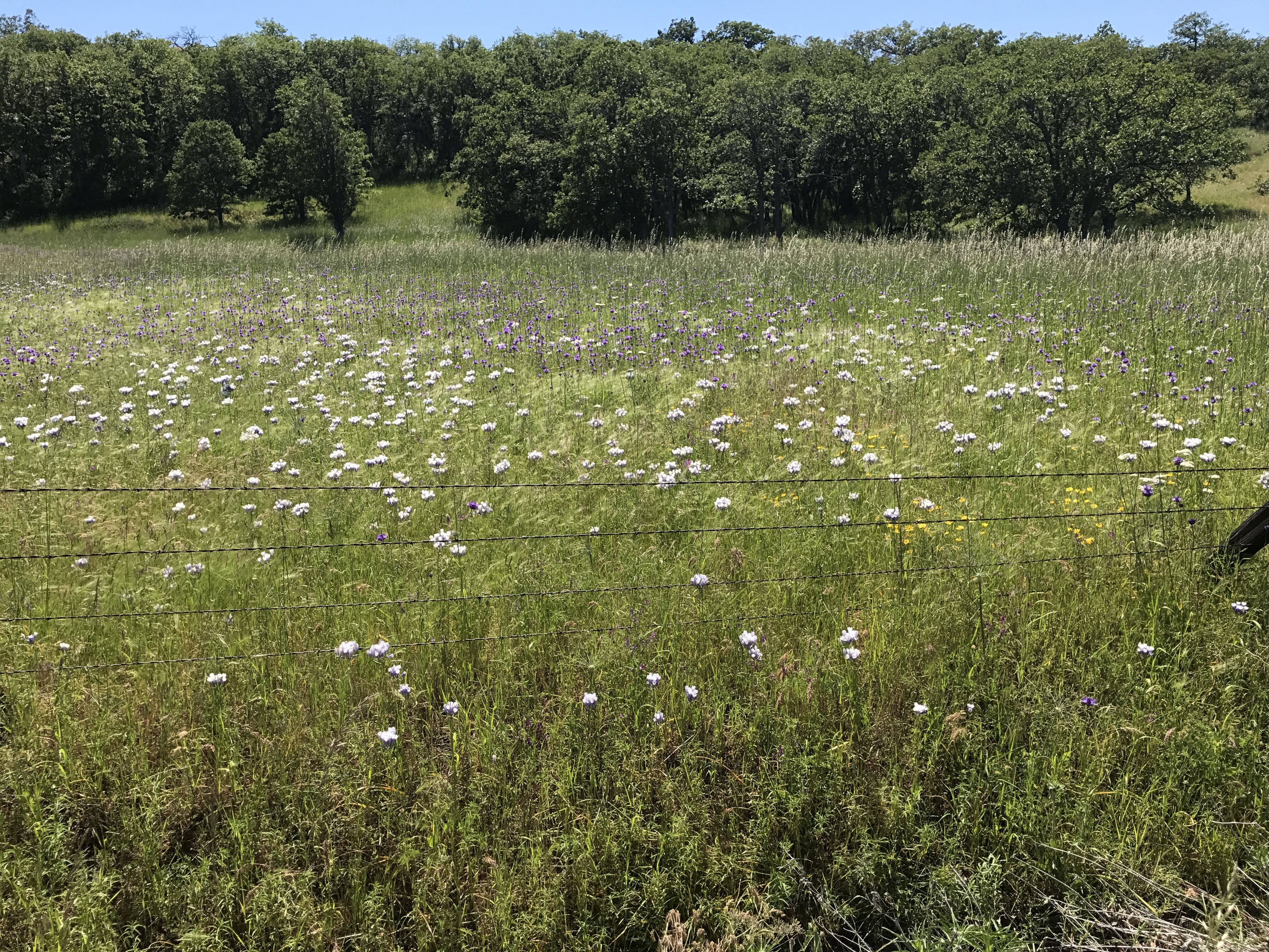
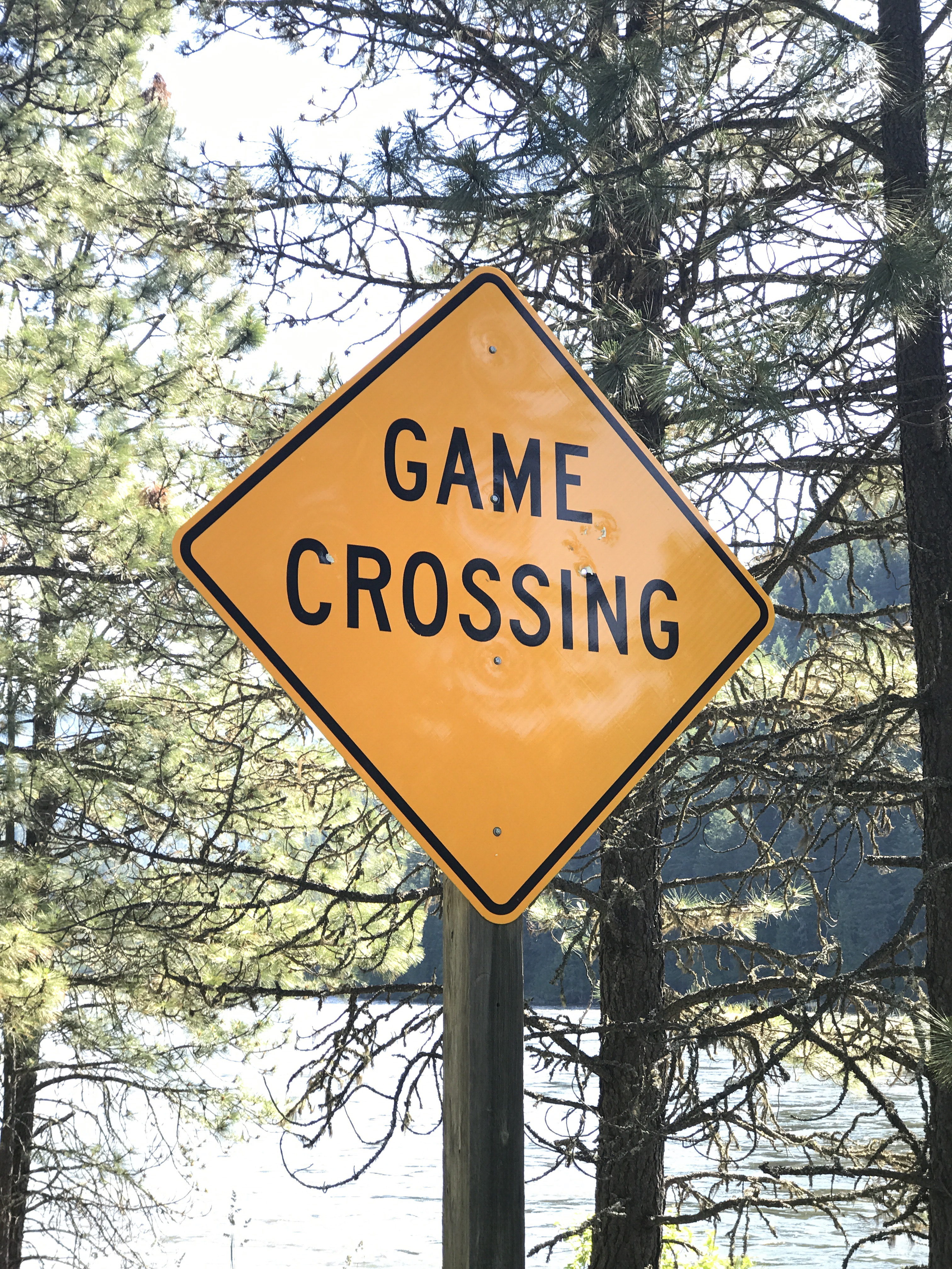
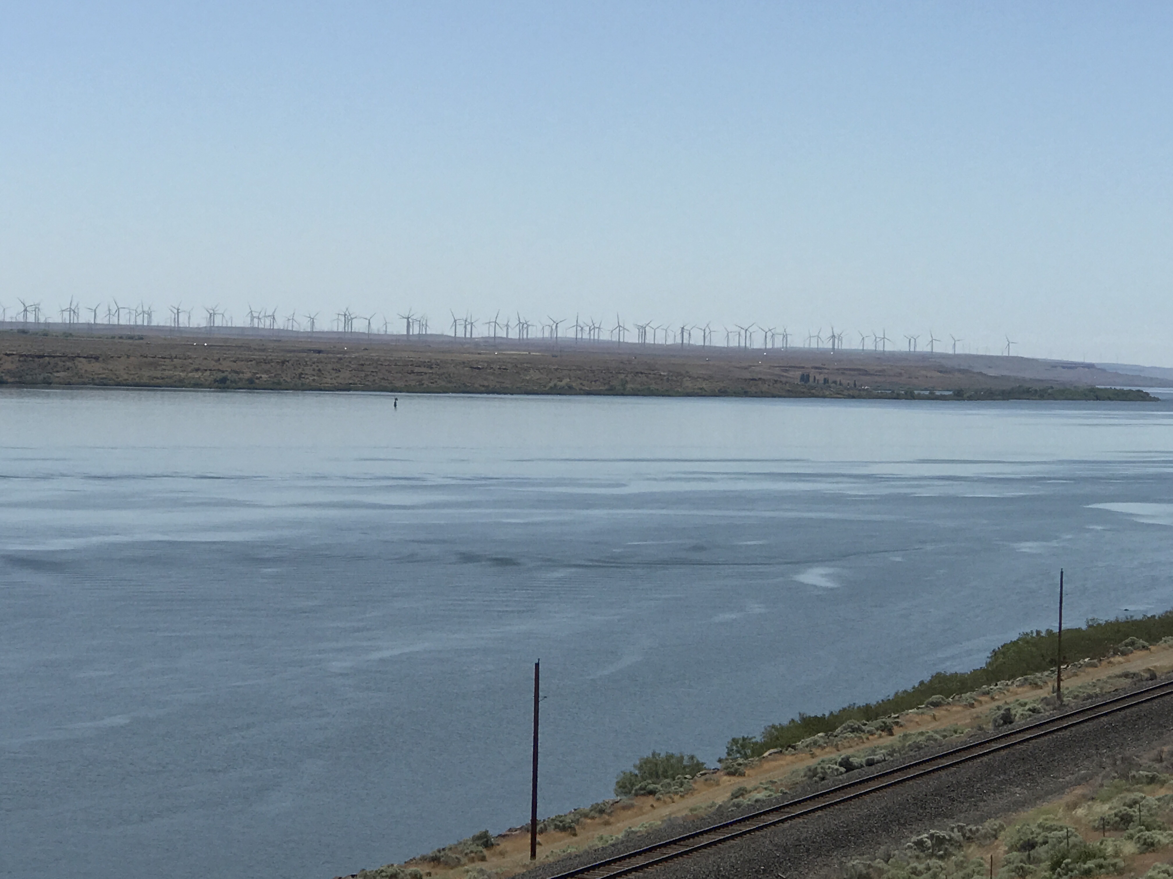
The plains stretched miles and miles to mountains far away.

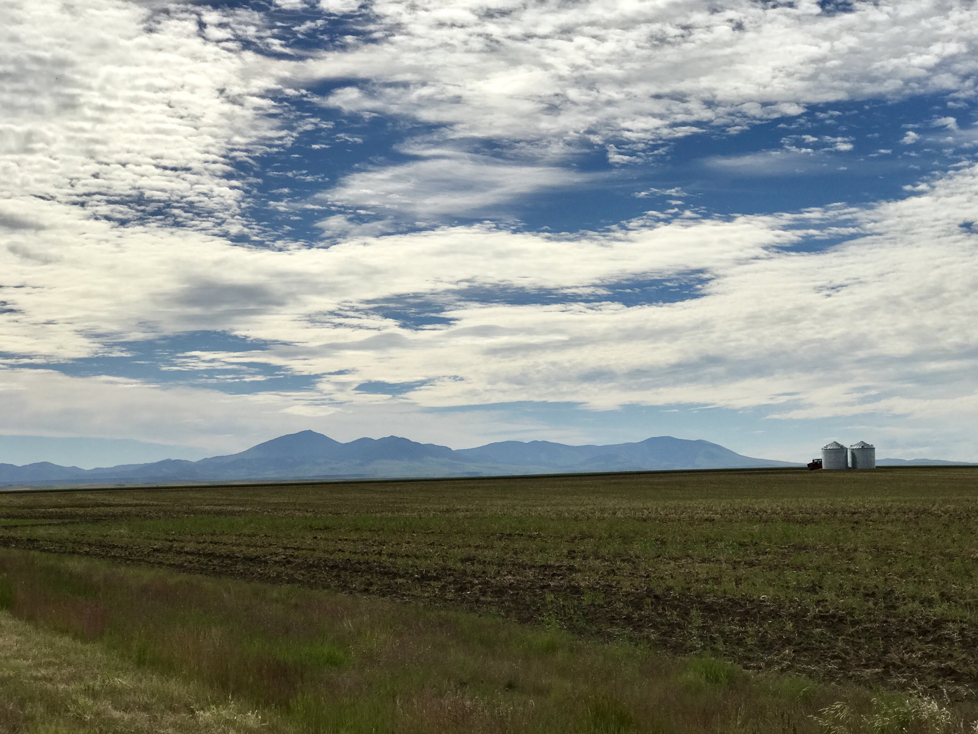
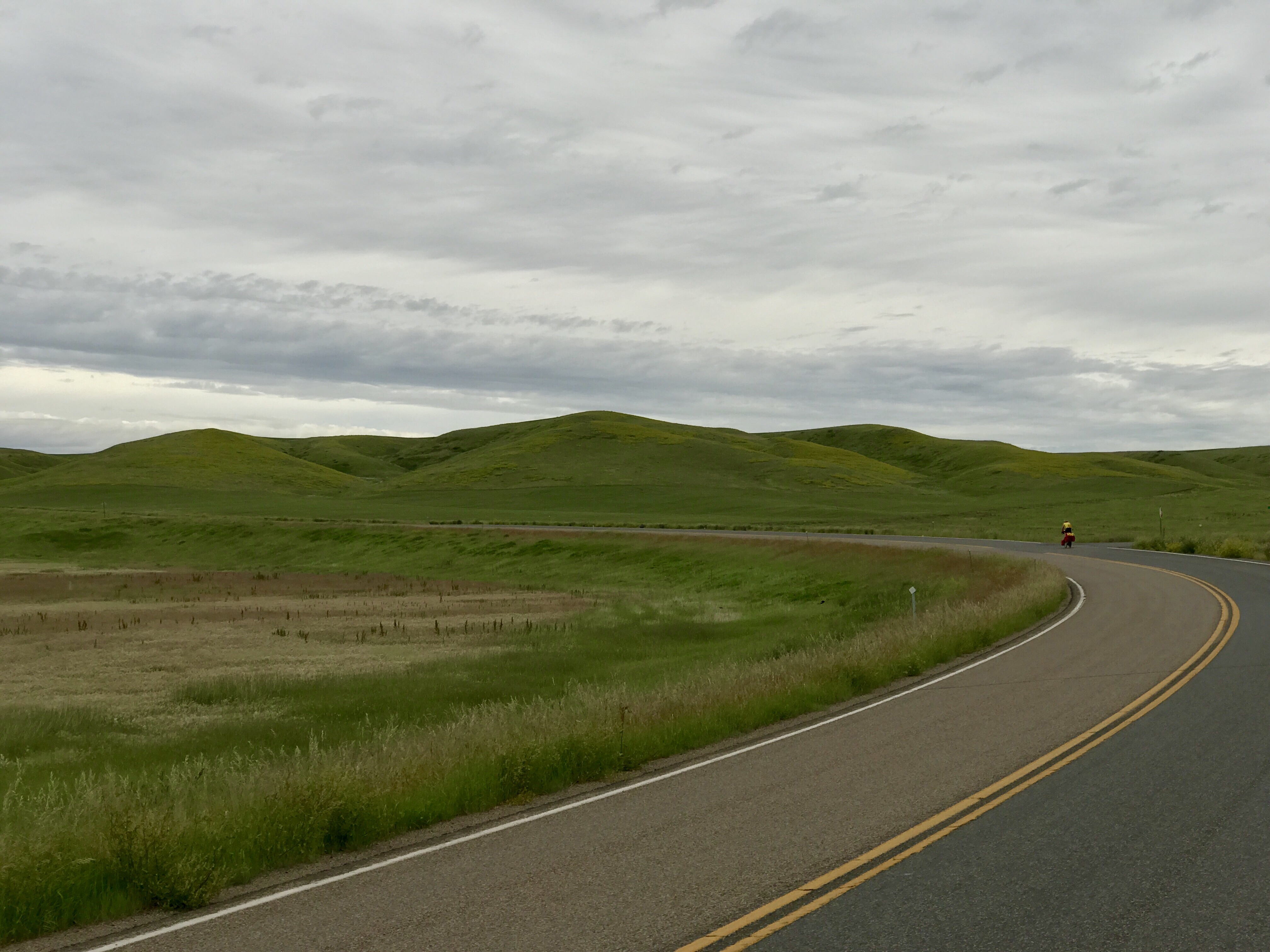
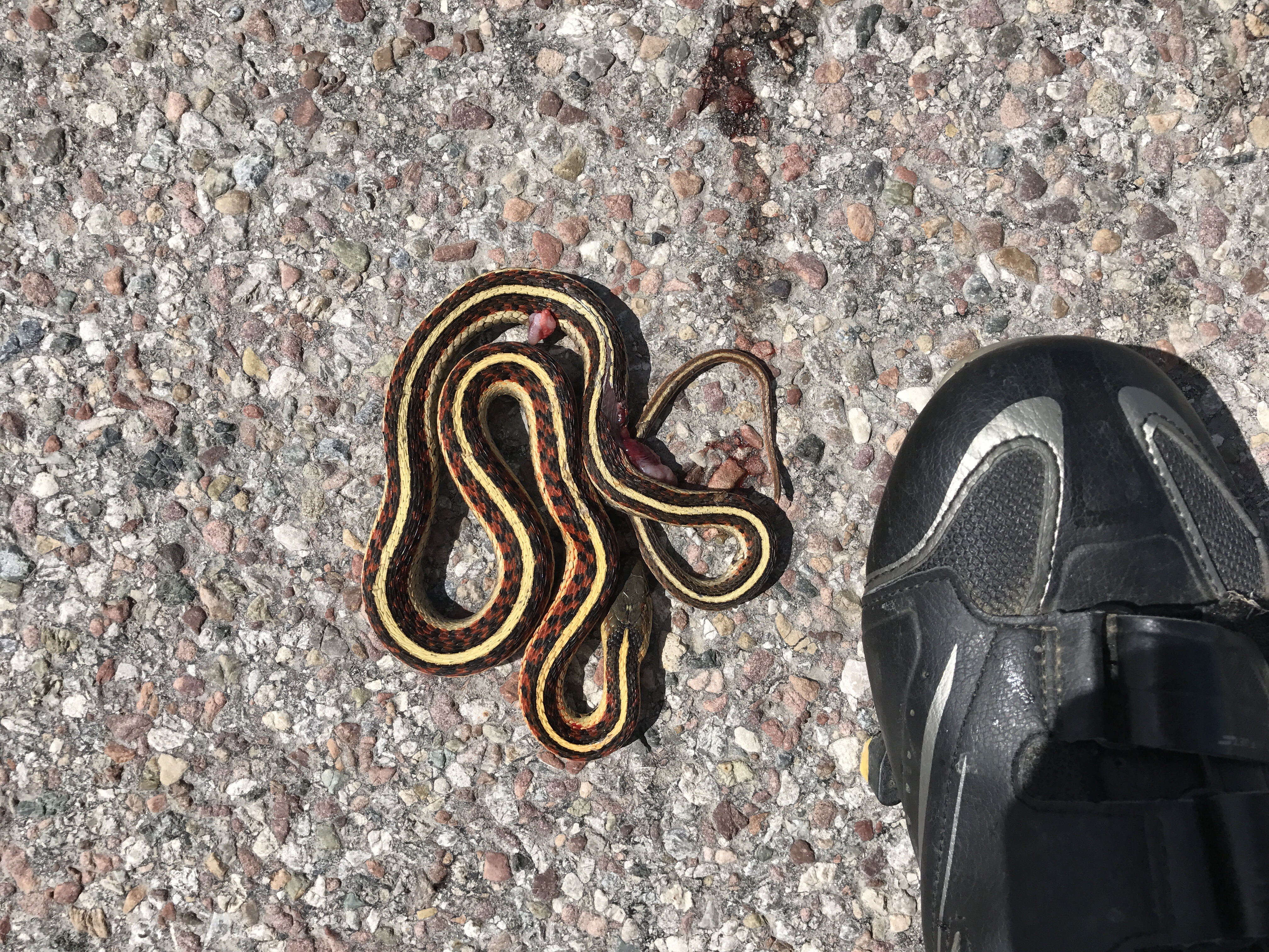
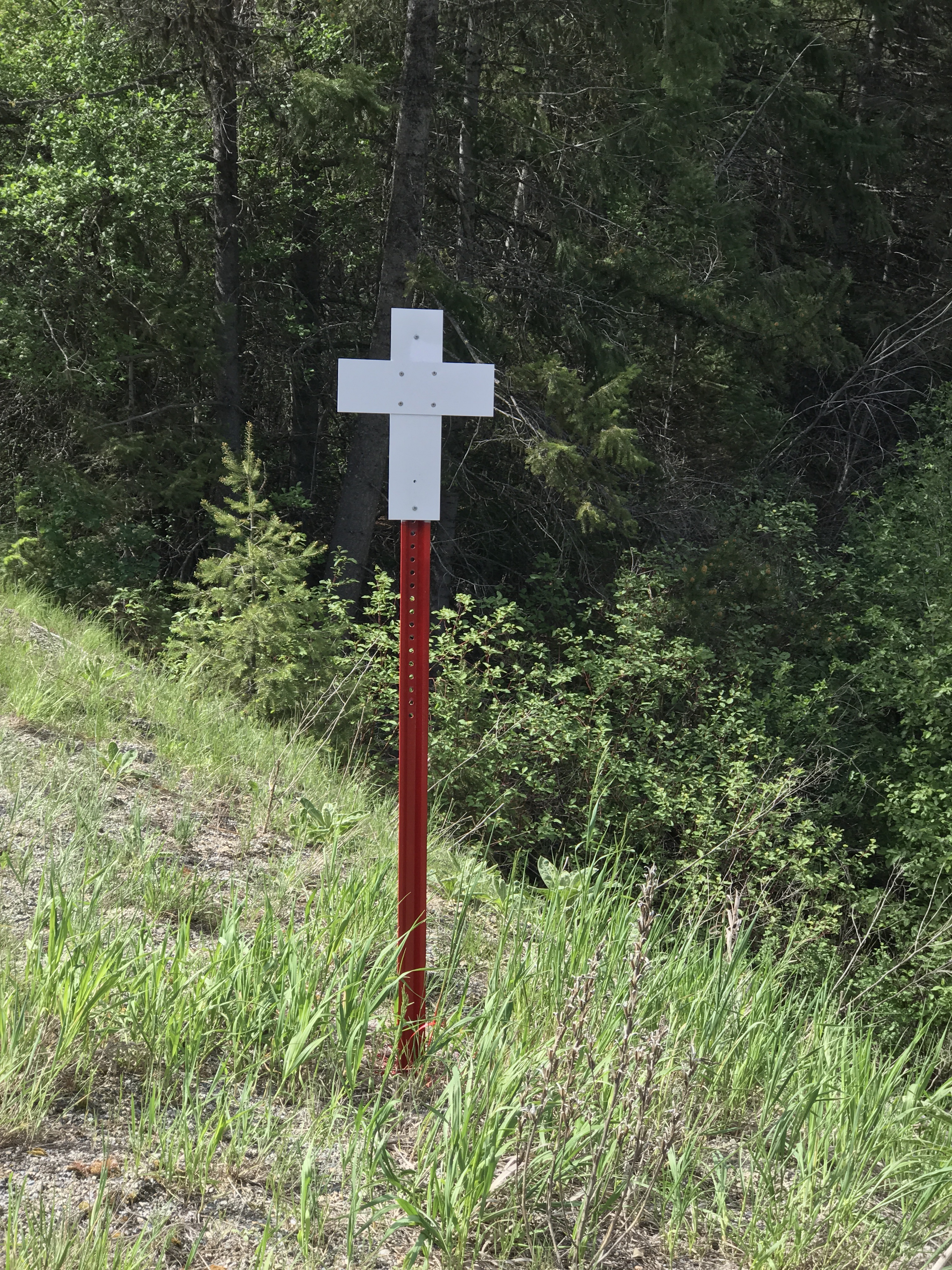
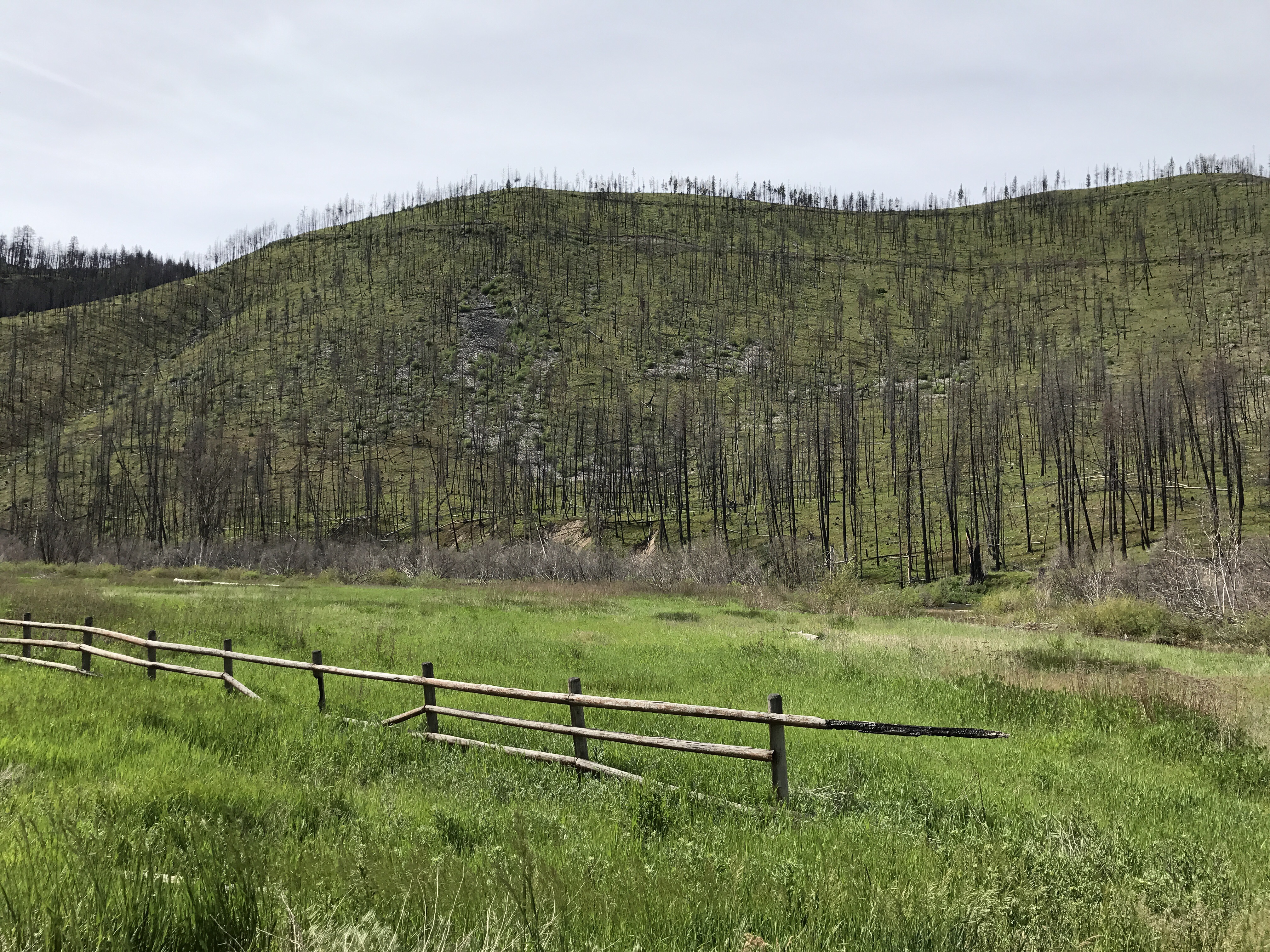
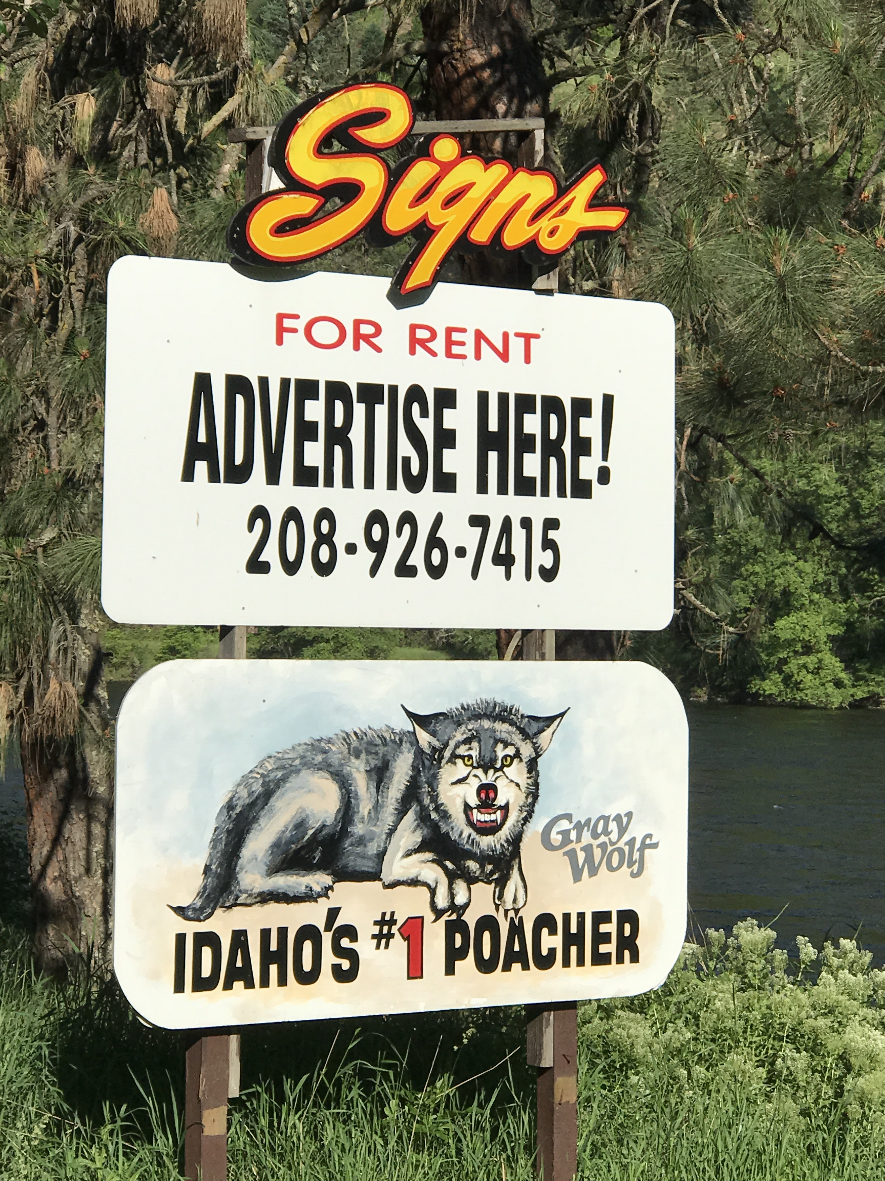
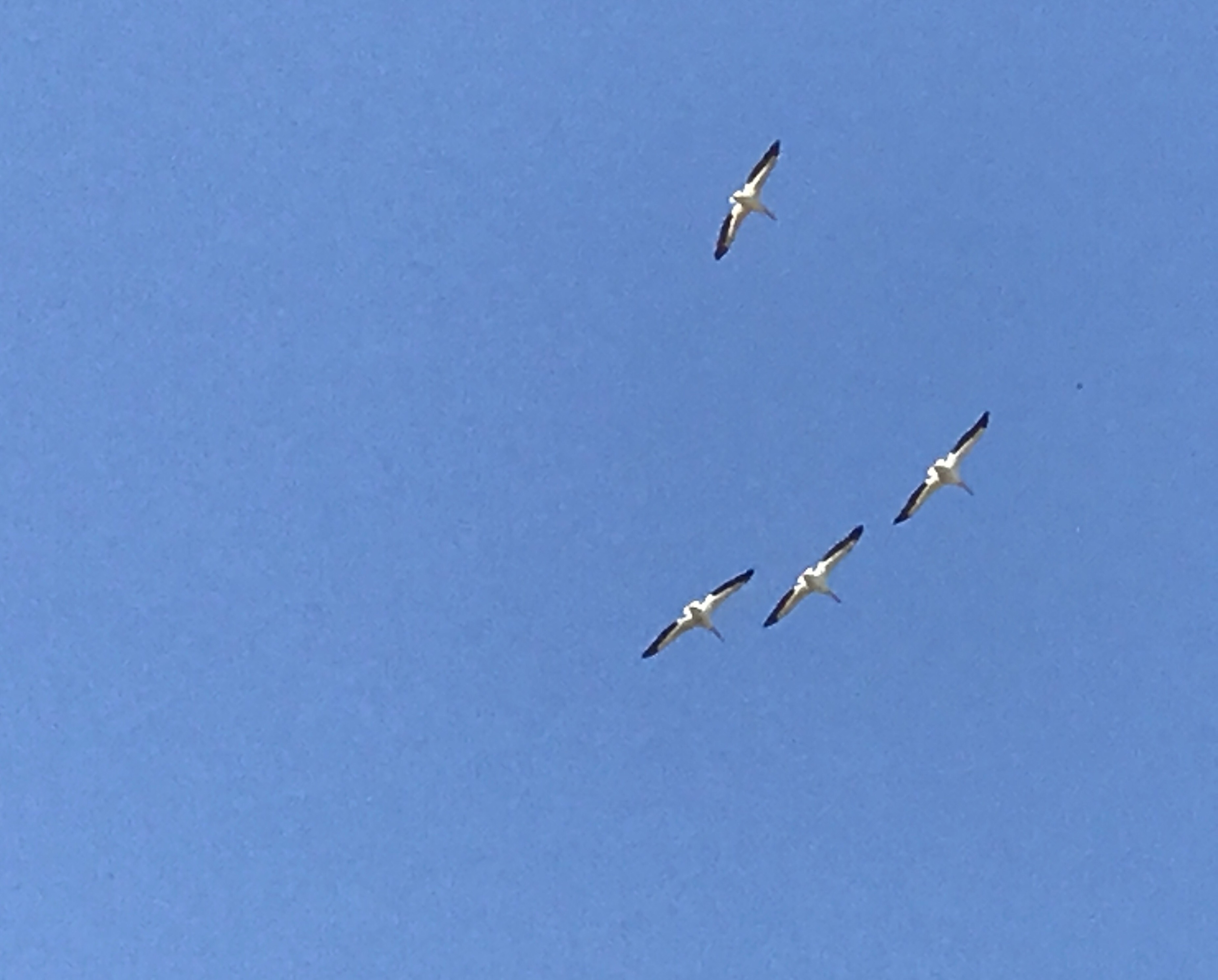
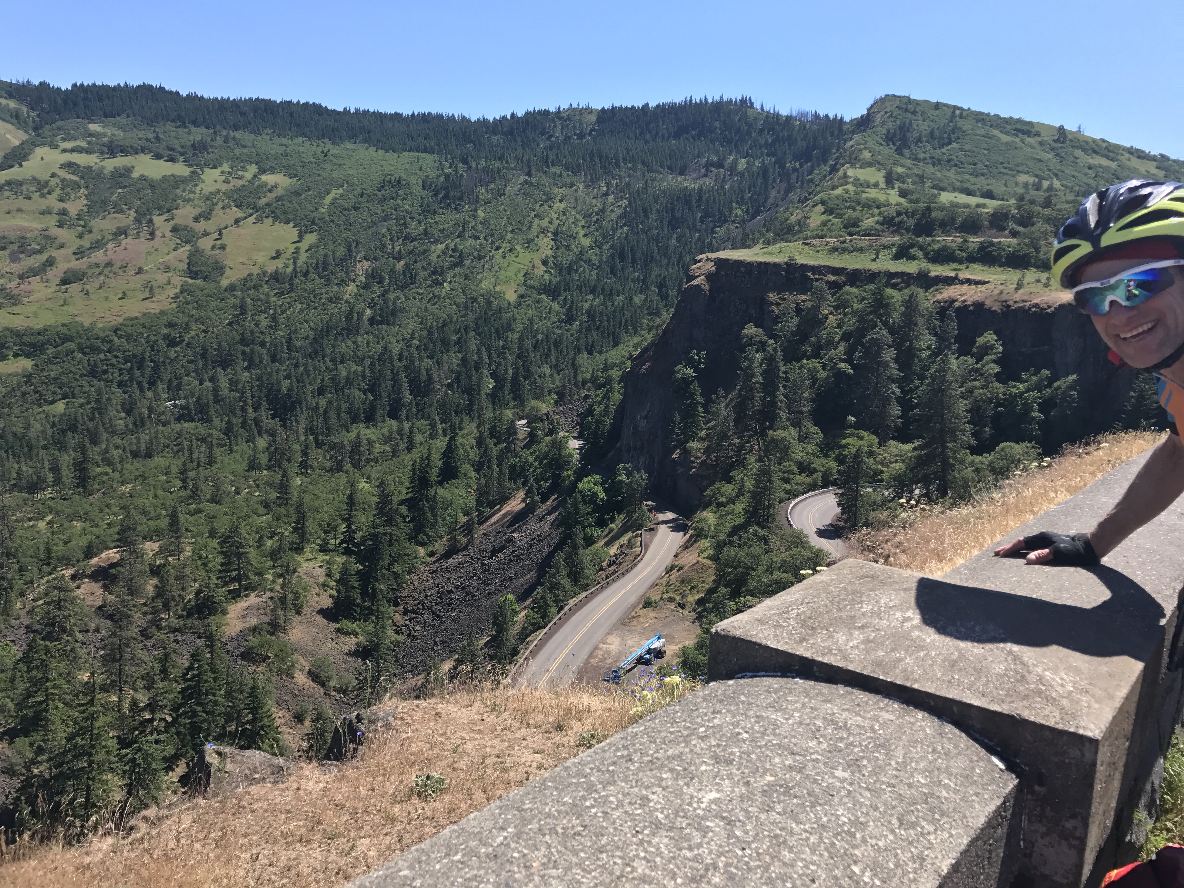
Maybe this landscape doesn’t agree with everyone.

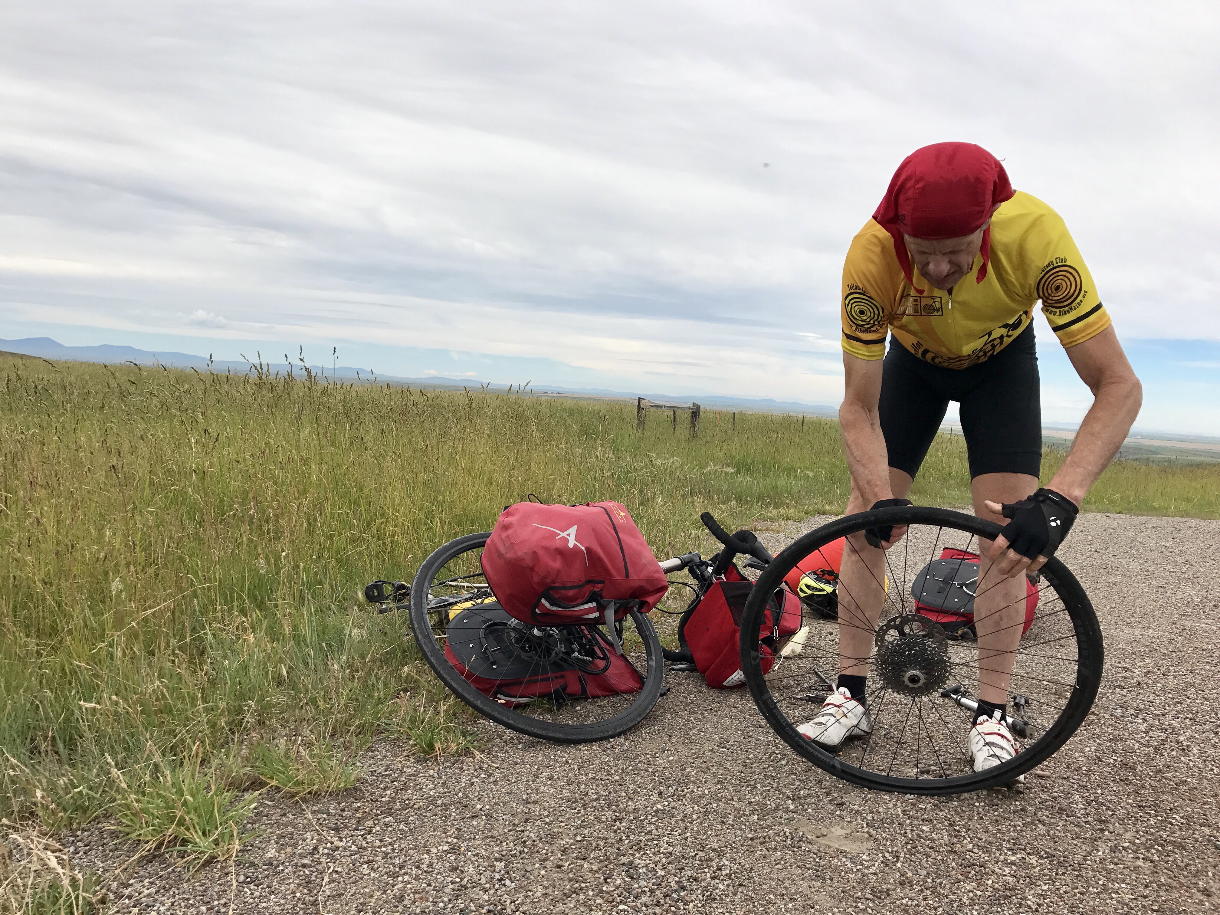
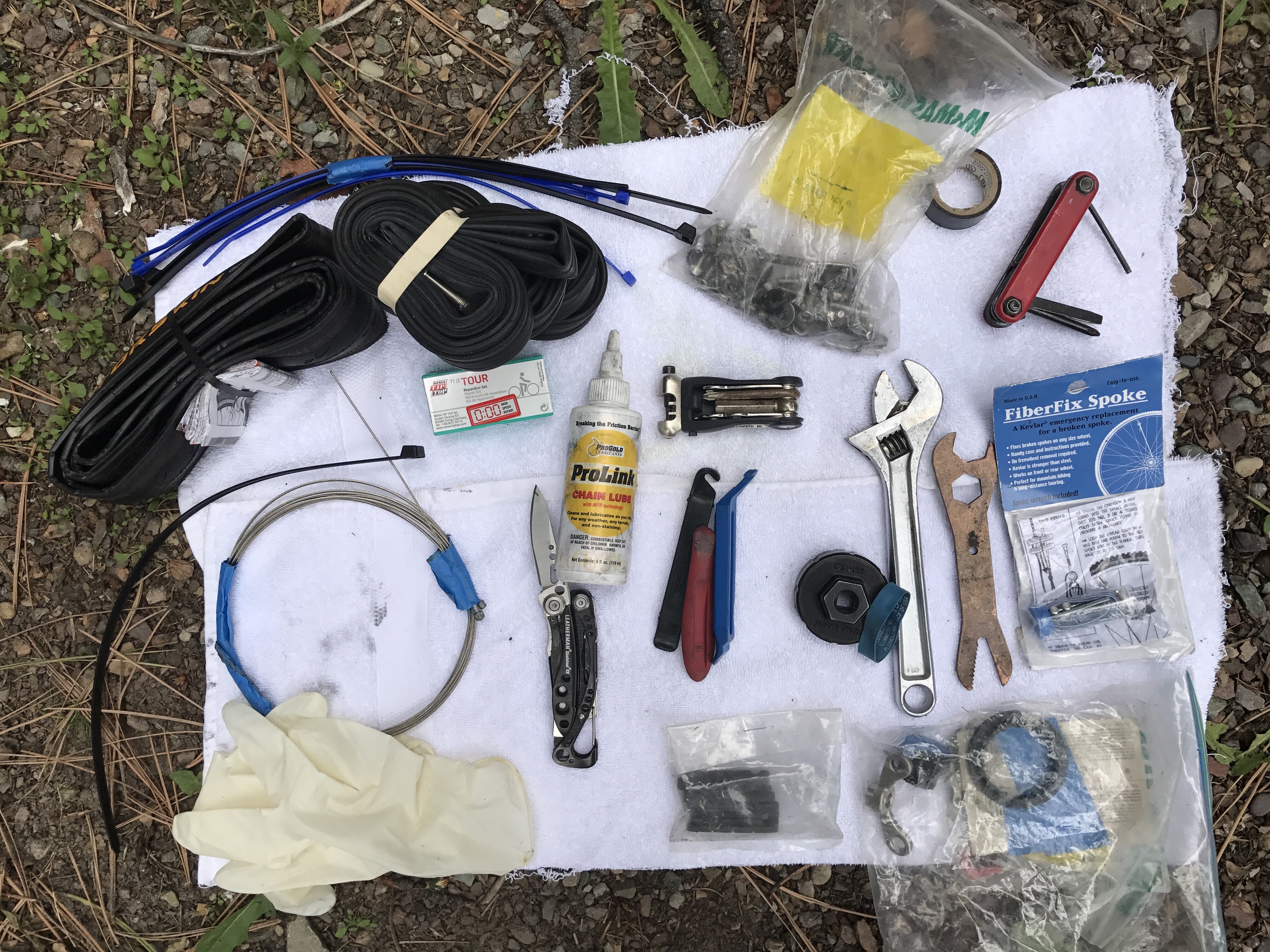
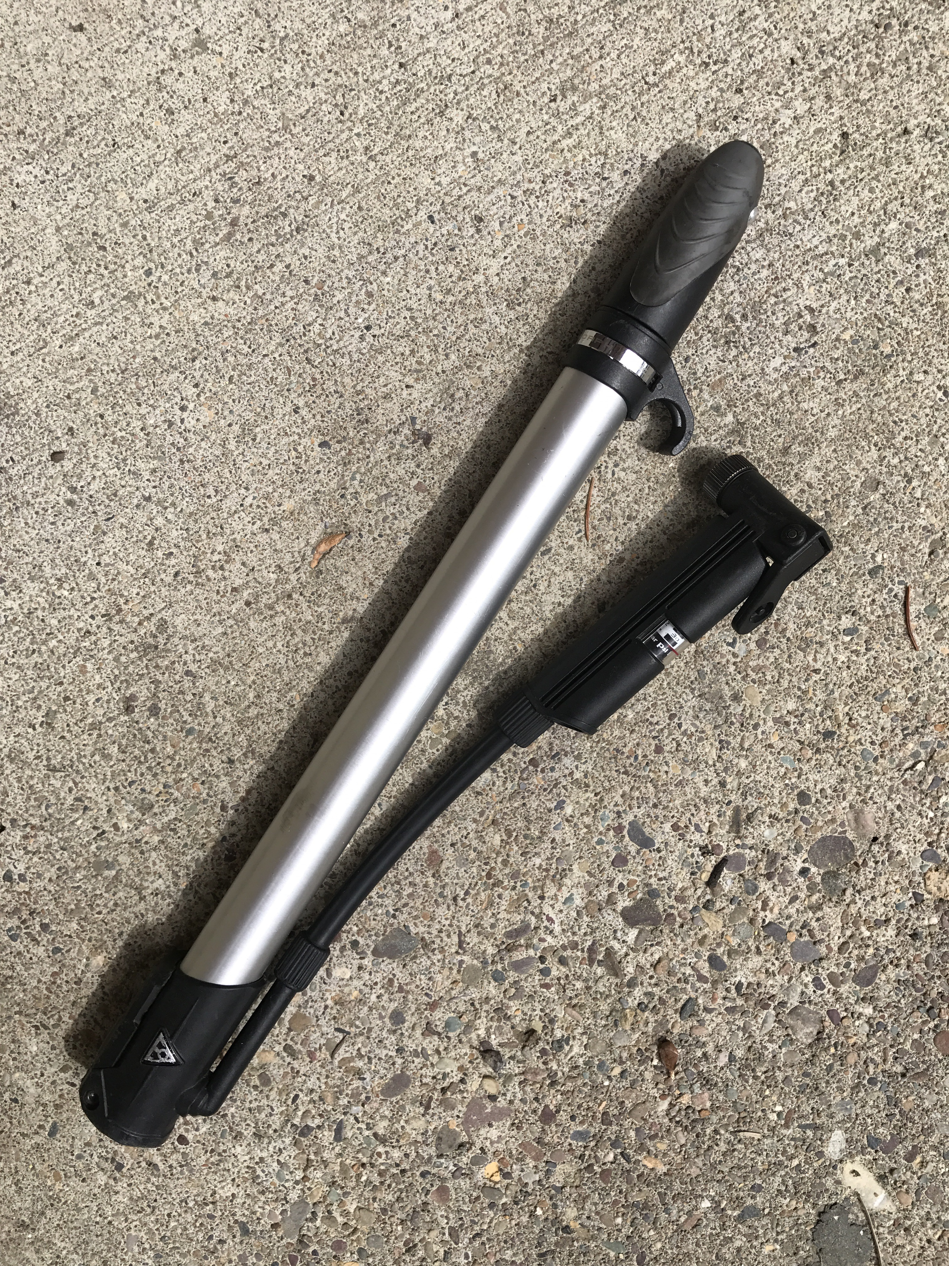
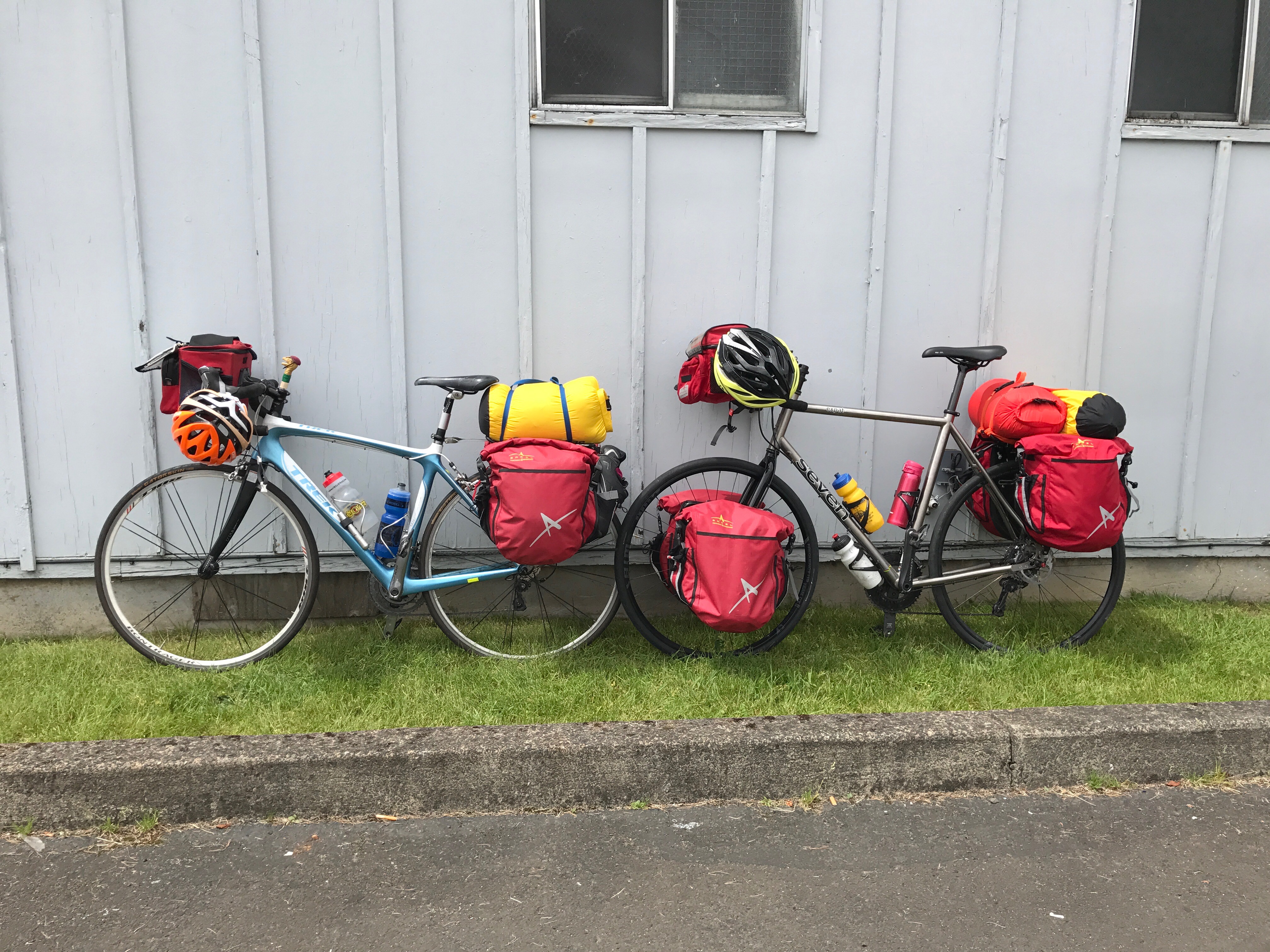
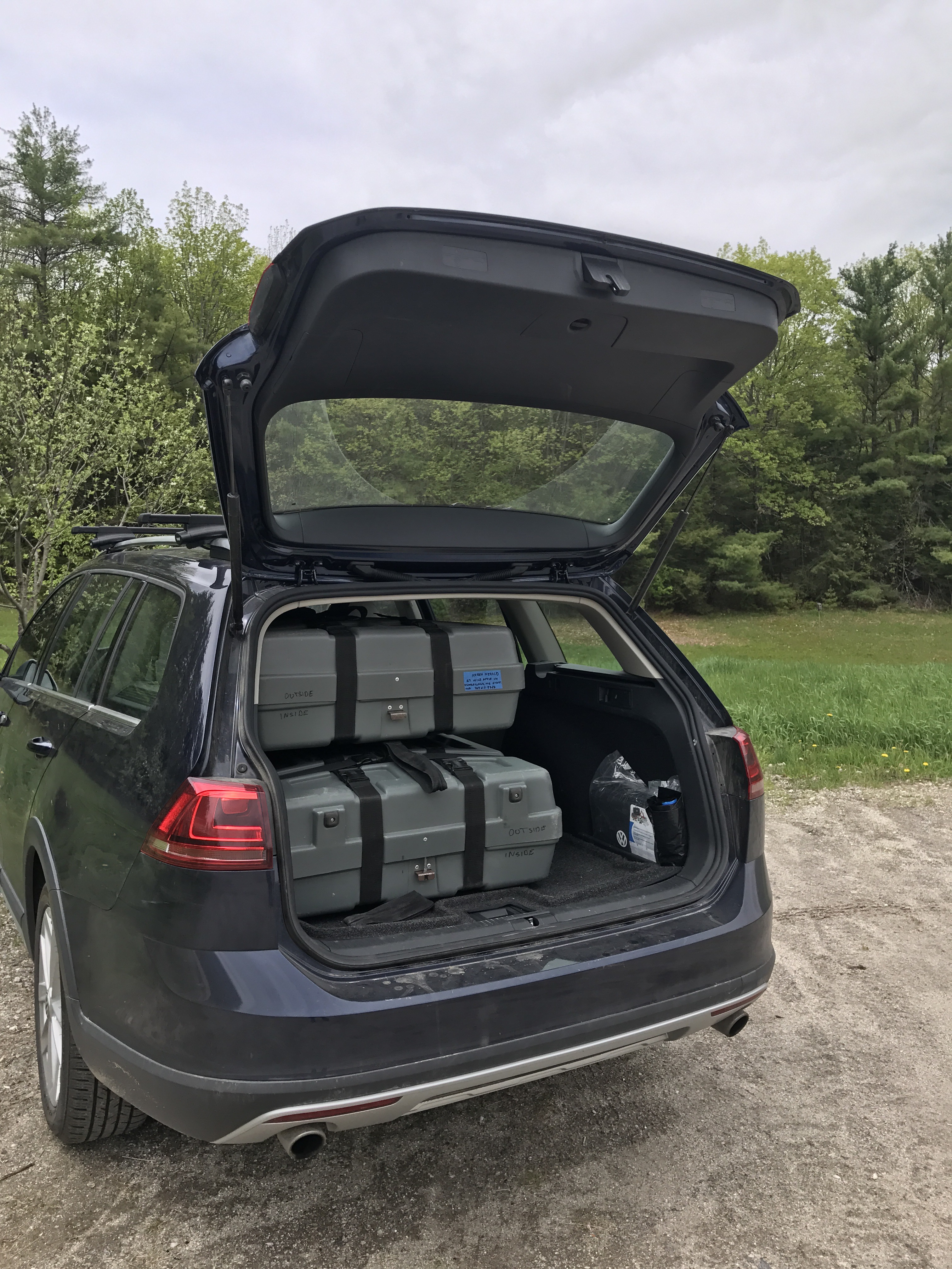
Mark got his first flat of the trip. His fancy bike came with tubeless tires, sealed with goo. The goo sloshes out when you take the tire off, and then you are supposed to take the wheel back to the bike shop for resealing. What kind of sense does that make? Mark had to put a tube in his tire and thus joined the mere mortals.

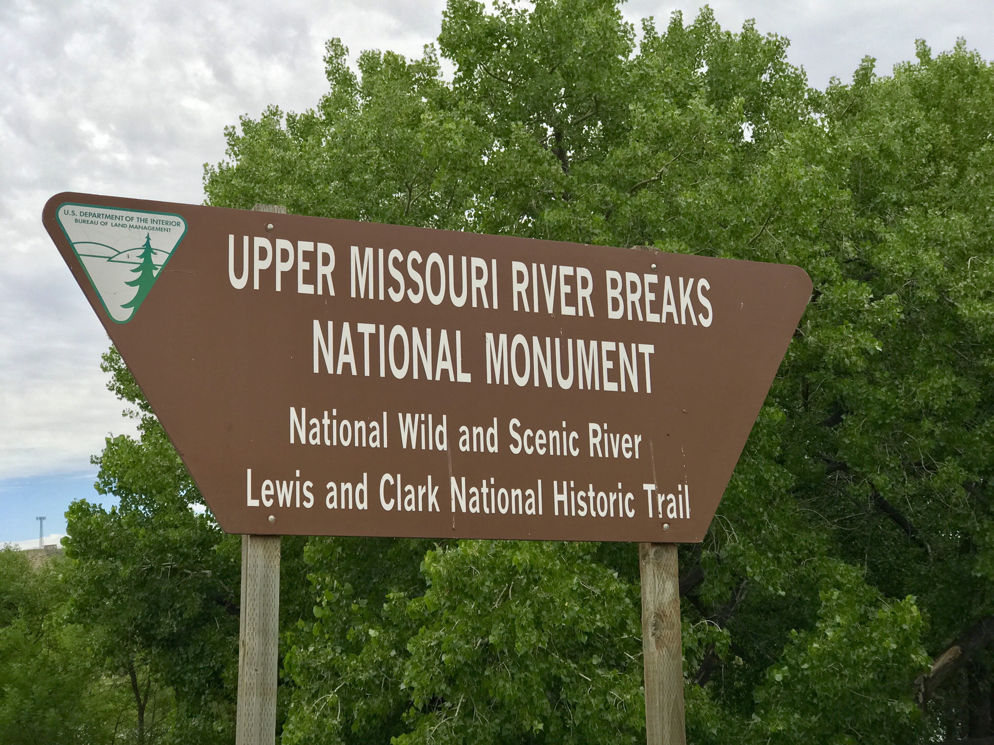
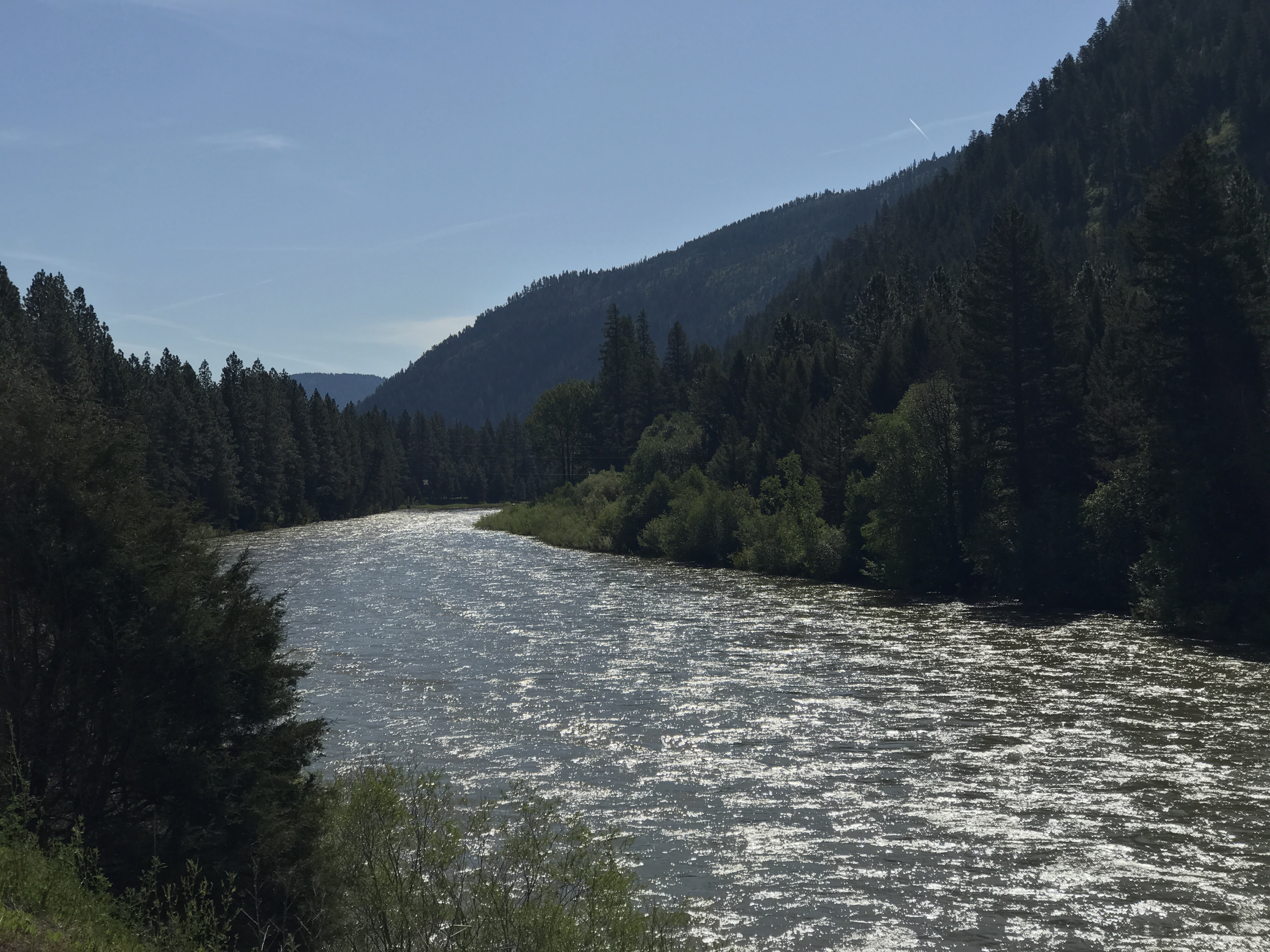
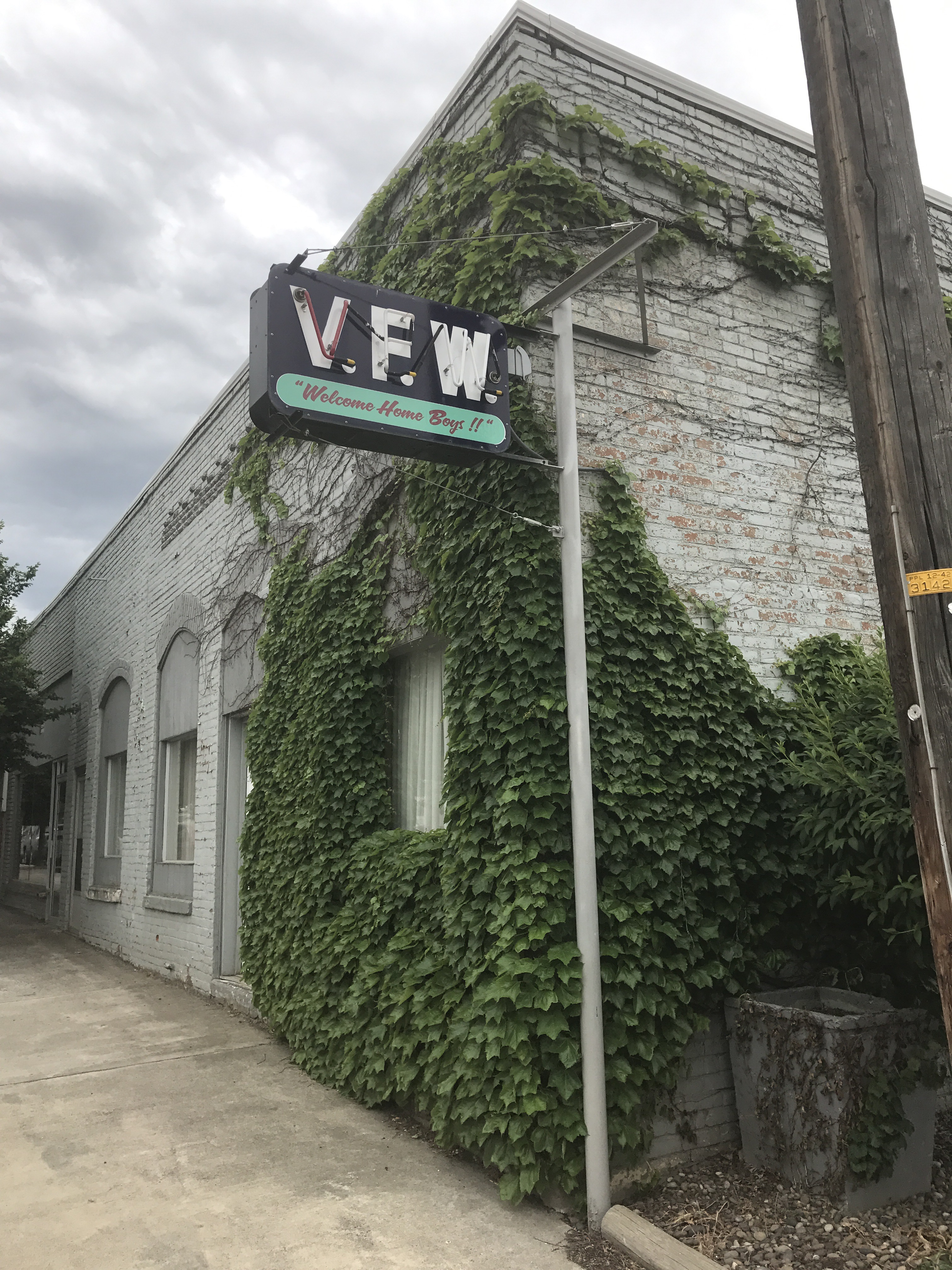
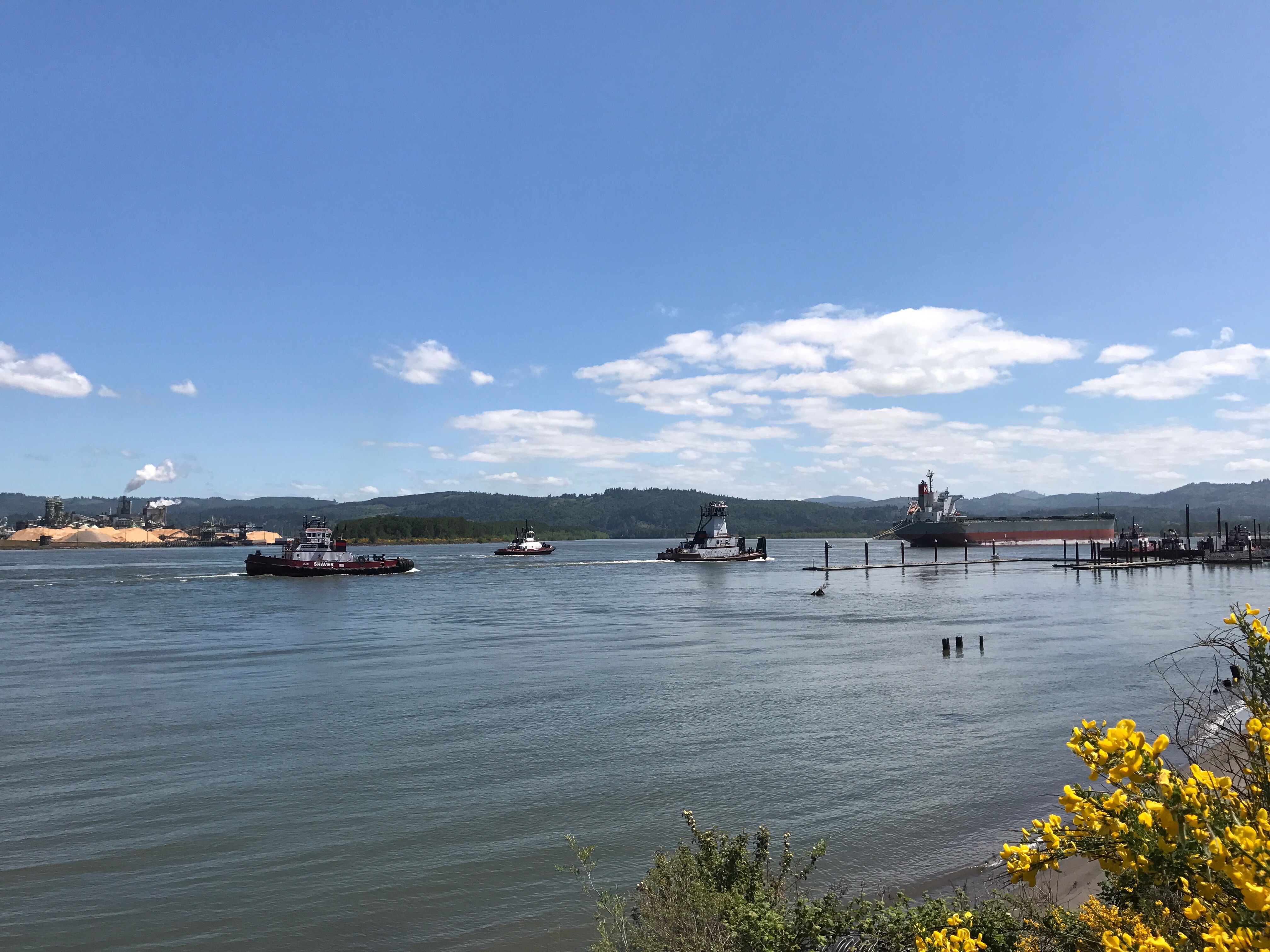
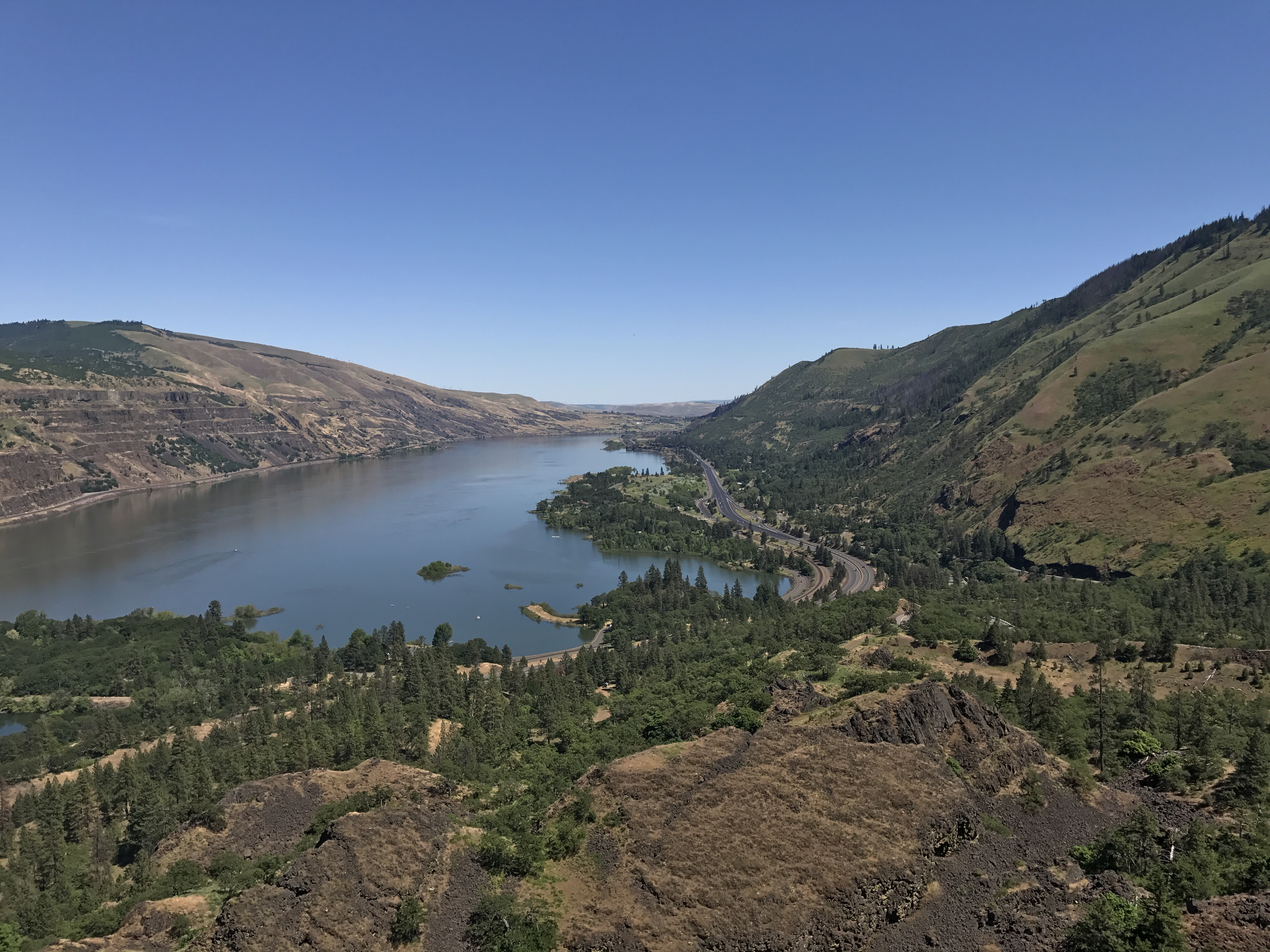
We swooped down off the prairie back to the Missouri River at Fort Benton. This is a surprising town loaded with museums, at least one funky restaurant, and a grand old hotel, a legacy of its years as Montana’s first city. The location is the uppermost navigable point on the Missouri and was the departure point for overland routes for the fur and buffalo trades, the gold rush, and the settlement of the American and Canadian Northwest. The coming of railroads ended the boom. We are staying in the Grand Union Hotel, built in 1882. 

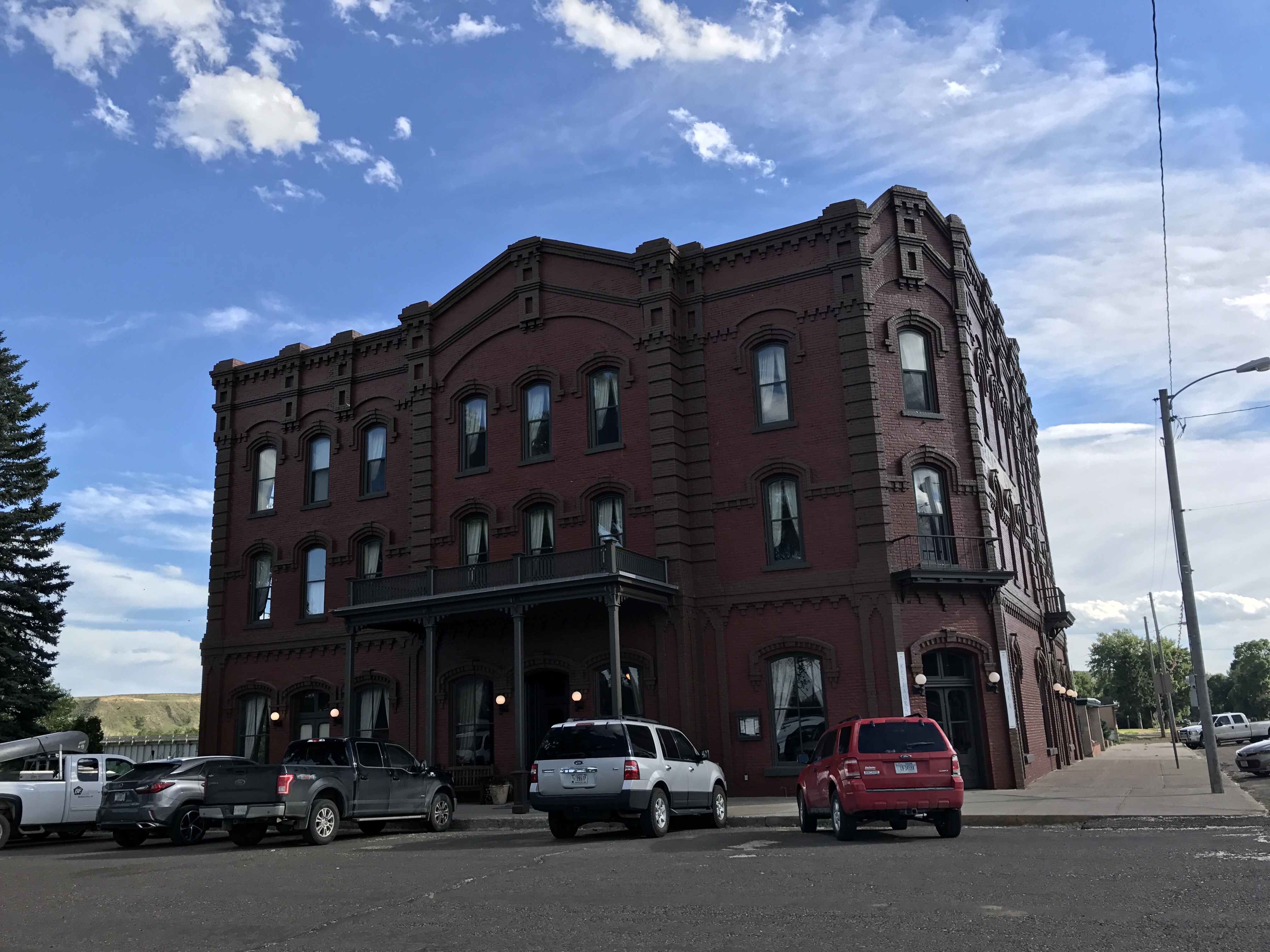
Of course the hotel fell into decline for 100 years or so. We met the woman who restored it, an enormous and expensive project. She worked in architecture firms in Seattle and Hong King, and now her husband lives in Hong Kong and earns the money that keeps this place afloat. Though not entirely afloat: see how the window sinks down on one end, and the sash is built to fit. It works just fine.


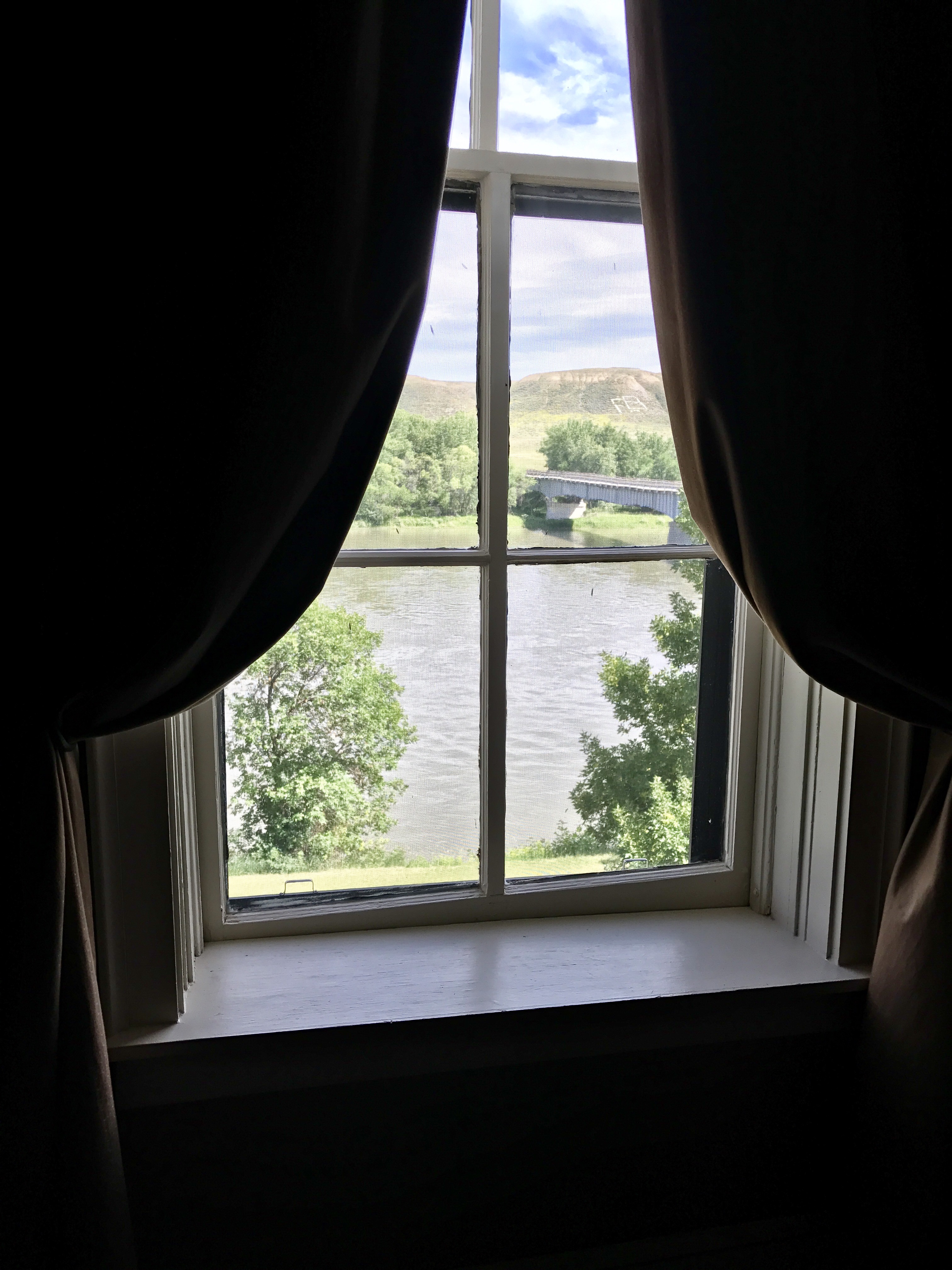
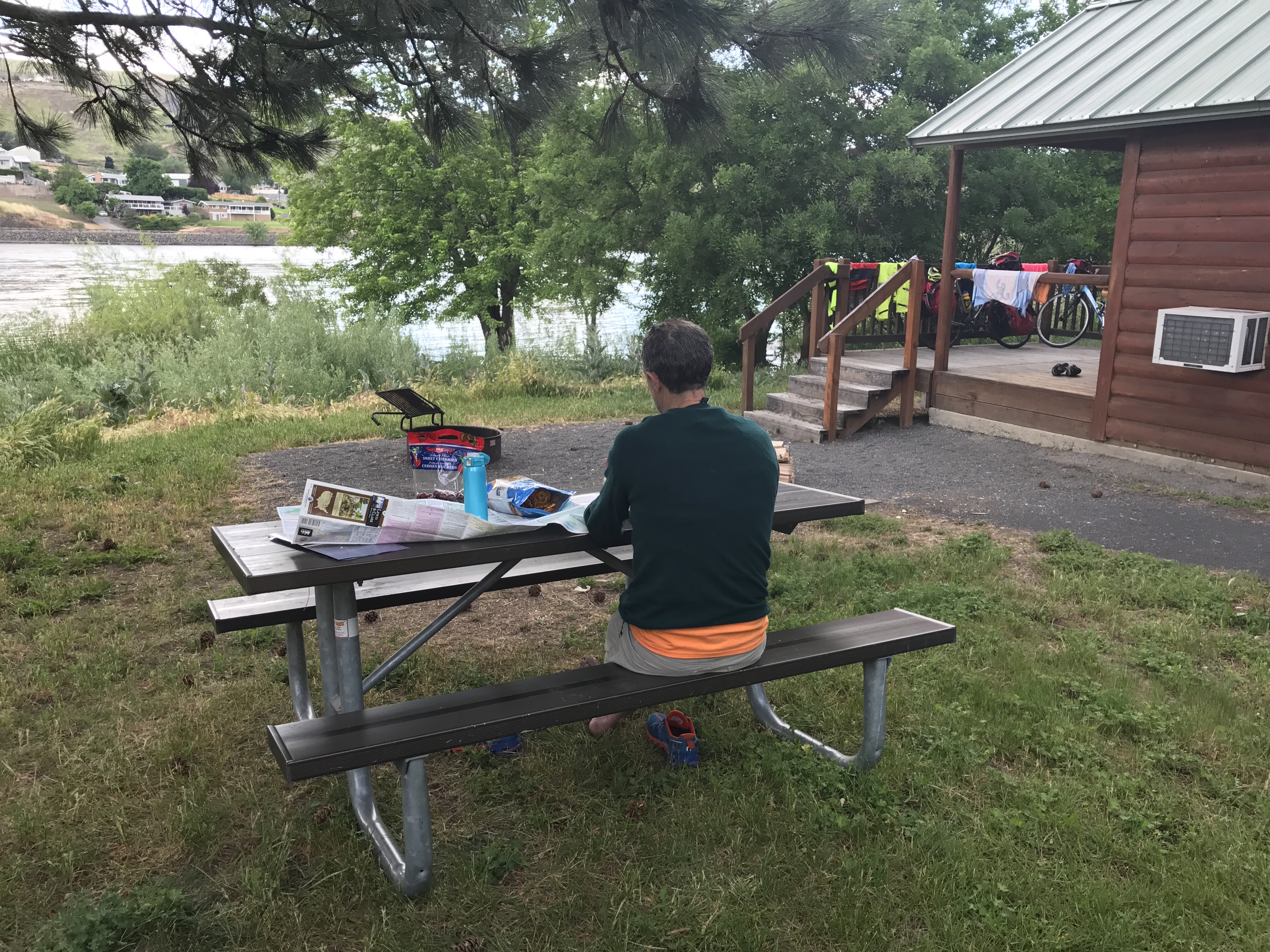
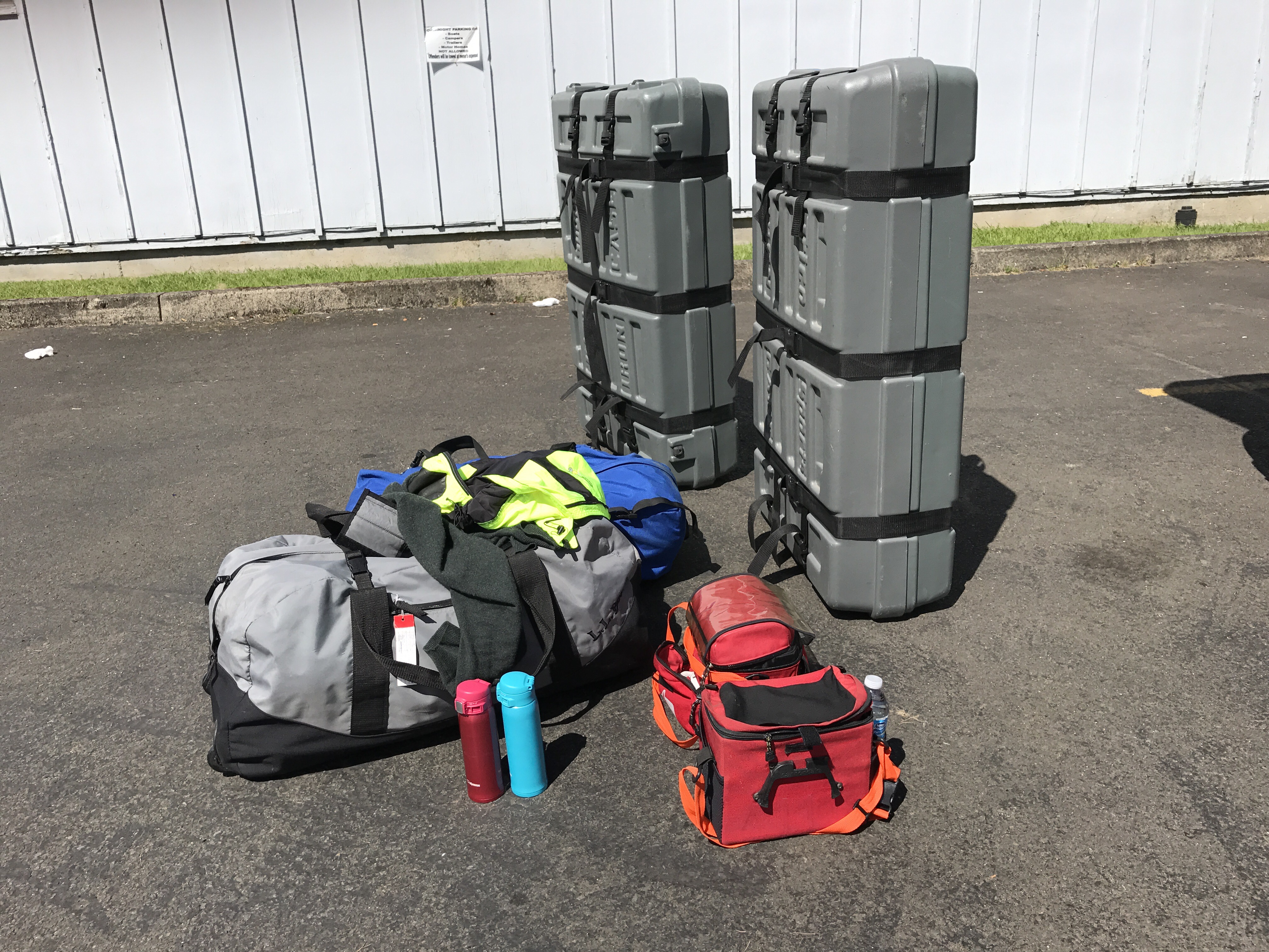
Our room looks right out onto the Missouri River. This afternoon we made arrangements with an outfitter, bought maps and a week’s provisions, and had a last shower. Tomorrow we take off for 149 miles of paddling on the Missouri from Fort Benton to Kipp’s Landing. I’ve never done a canoe trip with less preparation, but the route looks gorgeous. We saw a couple of kayaks go by, and the current had them flying. At the outfitter’s place they were laying out the gear from a canoe they had had to retrieve when someone turned over and didn’t stay with his boat. Amid the sodden sleeping bag and clothes was a water-thickened paperback book titled “Survival Guide.” I snickered, but then I hope our gear doesn’t end up on the outfitter’s lawn too. At least we know to stay with the boat. We’ve been told not to drink the river water because of chemical runoff from agriculture. It takes a lot to ruin a river this big. “Sad.” 

I’ll write again when we’re back on the road and back to cell service.

The Divide, some critters, and a hiatus

We’ve crossed the Continental Divide.  That feels like a node in our trip.


The morning of our crossing it was 45 degrees with a strong, cold tailwind.  We zoomed up Rogers Pass: rewarding but anticlimactic because it’s such a gradual climb. Still, one gets to decide whether one’s pee break will aim for Pacific or the Atlantic. 


The descent on the eastern side is steeper and more dramatic.


The vistas on the Montana plains are flat out sublime. How I love these open sweeps of land and busy skies.


With our westerly tail wind, we could have sailed to Great Falls in an afternoon,  but the prescribed route took us on a detour to Augusta, heading north. The cross wind made it a slow 15 miles, but that gave us time to see some fabulous things.  

First, sadly, I killed a snake. I ran right over this guy, who turns out to be a Western Garter Snake.

A few miles later we saw what we’ve now concluded was a COUGAR. A large, medium-brown animal crossed the road about 75 yards in front of me. It was traveling too fast for me to get a good look, but it didn’t behave like anything I’ve ever seen, moving fluidly but frequently stopping to look around. A hawk harassed it. I thought coyote, but the next day I found this scat, too big for coyote or wolf. Locals confirmed that cougars are here. I’m thinking it’s cougar.

The next jaw droppers were Pronghorn antelope. We mistook them for deer at first but then noticed their round white bottoms and their peculiar way of running, with all four feet pushing off at once, like smug cartoon horses.

Next came a calf who had gotten on the wrong side of the range fence. It was trying to stay close to its mother on the other side of the barbed wire, but reunification wasn’t going to happen without intervention. We decided to help, a dubious decision. While Mark tried to herd the calf toward me,  I opened the latch of the machine-strung, extremely taut barbed wire fence. Instantly it was clear this was a fast-blooming fiasco. The six strands of fence wire sprang back in a tangle of posts and barbs.  Mark’s valiant herding was making the calf careen all over the two lane highway. The high wind kept Mark from hearing my plea for fence triage. I could just imagine a front page story in the Great Falls Tribune of how two Easterners had released the Mangnussons’ cattle all over SR 287. The end of the story is that with a lot of muscle power we managed to close the fence, and the calf remained unrescued. We hope the cougar didn’t get him overnight.

We spent the night in Augusta in a lovely old inn from 1905 we had stayed in about 10 years earlier on another Montana bike trip. All was well until 10 p.m., when someone down the street began playing country music in the empty street at rodeo grounds volume.  The second time Johnny Cash’s “I Walk the Line” came on, I gave up trying to like this town.

Today we got blown to Great Falls with hardly a pedal stroke. I’m thrilled to say that I heard a Virginia Rail call loudly in a little marsh. (Thanks, Bill, for showing me my very first one years ago.)  While Mark was trying to get me to clean my greasy fingers after reseating my dropped chain, I watched my first Long Billed Curlews courting in the wayside scrub. Here are two recordings, though the wind gets in the way:

 https://drive.google.com/open?id=0B_l7_GFIvxKgRHNtNGQxOE5kQms

https://drive.google.com/open?id=0B_l7_GFIvxKgbEtVTUhScWQ1RkE

We were in this beautiful spot: 

Now we have found our way to a great Airbnb in Great Falls. Tomorrow we fly back to Maine tomorrow for a few days at home and then our niece’s wedding. It’s kind of like dropping Hemingway and picking up Virginia Woolf. It’s a vacation from a vacation. It’s strange, but it’s delicious.

When we return, the plan at this point is to interrupt the biking again. Because we’d be following the Missouri River anyway, we decided to rent from an outfitter in Fort Benton and canoe 110 miles of the wild section. Mark thinks we can take the bikes in the canoe, but, really! We’ll see. I’ll take up this blog once we’re on the bikes again.

Thanks for reading!

Why and how to go on a bike trip

We’ve stopped early to escape the coming rain in a motel. I have a luxurious afternoon to make the case for self-supported bike trips in hopes that friends will want to come with us some day.

The independence that comes with carrying everything you need is my reason for biking this way.  Without a sag wagon or a tour group, you can stop and start when and where you want. After a few days of this freedom, you find your own rhythm. Complaints don’t cross your mind because the only one responsible is you.

I’ll admit that bikes loaded with gear are heavier and thus less fun to pedal. However, I don’t find biking that much fun in the first place. Your hands go dead, your mind goes dead, the only wildlife you see is dead. Sign me up, you say. My reason to go on a bike trip outweighs those negatives. At biking speed, you viscerally absorb how the landscape changes. Over the past two weeks at biking speed, without paying attention I came to see how Pacific rain forest shifts to dry plateau and then to mountain range and soon to prairie. I came to understand how a watershed of river systems connect. Without trying I learned when to expect Ponderosa Pine and when sagebrush, when Canyon Wren and when Western Meadowlark.  I love geology and geography and natural systems. What better way to see them up close than from a bike.

It’s quite easy to take a self-supported bike trip. There’s not all that much special gear you need beyond a bike that can take a rack, a front handlebar bag, and a set of panniers.  Here’s what we brought for our minimal yet comfortable bike camping trip.

We have a Big Agnes 3-person tent that’s lightweight but roomy enough to shelter gear and spend hours in during a rainy spell. We’ve got a sheet of lightweight plastic for under the tent and another for inside the tent in case it’s really wet out. We have a sleeping bags and lightweight sleeping pads. (Mark has already had to patch up his because he was lolling about on stony ground reading one afternoon.) We have a Pocket Rocket tiny stove burner that folds up into a four inch long triangular wedge like half of a fat Toblerone. The burner screws onto a butane canister, of which we carry two. We have two small, nesting titanium pots for heating water and for use as bowls. We have two utensils that are a fork on one end and a spoon on the other. So much for the camp kitchen. There’s a lot you can do with boiling water.

Here’s what we have for tools and parts:


We have a really nice pump that is small but shows the tire pressure:

For biking clothing, we each brought 2 shirts, 2 biking shorts, 2 pairs of bike socks, 2 pairs of gloves, and one wind jacket.


We wash the day’s riding clothes out every night in a sink or in a pot. Off duty clothes for me are a skirt, a lightweight pair of pants, a blouse, a long sleeve cotton button down shirt for mosquitoes, a pair of wool socks, and, big luxury, my usual blue polka dotted scarf. Two sets of underwear. If it’s cold, our long underwear wool tops and bottoms do the job. We have a wool hat, warm mittens, rain pants, a rain jacket, and a helmet cover for rain. We have a lightweight down jacket for warmth and for a pillow. On warm weather trips I bring just a pair of lightweight sandals, but this time I also brought some lightweight barefoot running sneakers for cold and in case we go hiking. My clothes fit in three small ultrasil waterproof bags for organization: bike clothes, rain and warmth gear, and off duty clothes. I can fit all of these little bags into one of my panniers.
In case you are interested, part 2, here’s our bike trip routine. Much as I like reading my book over a second cup of tea, we’re trying to get going on the early side to avoid the afternoon heat. If we’re camping, breakfast is instant oatmeal and tea. If we’re in a motel, any included breakfast is most welcome, though Froot Loops is a bridge too far. We ride til we’re hungry again, which is in about an hour, I admit. Bananas or nuts are a standard snack.  Mark would ride a lot faster without me because I am a slower pedaler and because I stop a lot to take pictures. However, Mark never complains other than looking a little grumpy if I ask him to pose for a reshoot. We try to ride two thirds of the day’s mileage before lunch because it’s hard to get going again, and it’s psychologically easier to start up if there are fewer miles left to go. When we arrive at our campground or motel, the first step is to wash out the biking clothes in a pot or in a sink. Mark likes finding washing machines, but I’m happy to put on almost-dry, hand washed clothes the next morning.

We check the map in the evening to see where we’ll be able to get what we’ll need in the days ahead. Our wonderful Adventure Cycling maps note where there are all the amenities dear to cyclists such as grocery or convenience stores, campgrounds, motels, bike shops, and post offices. If the next nights are at campgrounds, we’ll note where to buy food to carry.  Sometimes it’s hard to find minimal supplies even though we aren’t picky: ramen with tuna fish is a perfectly good dinner for us. Vegetables just aren’t on offer very often unless we go through a bigger town. One nice thing: traveling with Ben and Sandy taught us that it’s OK to buy potato chips because you can say you need the salt.

So that’s why and how we do it, or at least my explanation.

The bonus is the arresting sights along the way.  Here are some from the last couple of days.

Montana batholith (I had to look that up too.)

Montana’s Christian-themed way of marking highway fatalities:


Our first Trump hat. This couple couldn’t get over that they could not buy a hamburger in the Dairy Queen but would have to go next door to the Chinese restaurant.


A Montana cutie pie.


Adventure Cycling headquarters in Missoula, where we got a nice tour, though as the third group of cross country cyclists to visit that day, we were nothing special:

The maybe 30 pickup trucks of the Missoula Children’s Theater, which travels all around the country doing pop up productions with local kids. They came to Augusta when our kids were little, though, sadly, our kids didn’t get a part.


The camp ground that would have been so great:

A swan ridiculously on the Blackfoot River:

Recent fires taking even the fence rails:


Northern Pacific Railroad’s checkerboard of land ownership down Lolo Pass, given to them by the government even though they never built the railroad. Plum Creek eventually bought the land and was going to sell it for kingdom lots. The Nature Conservancy has purchased and protected it:


Visionaries and leaders:

Montana!


That’s it for Idaho

Lewiston, Idaho, to Winchester

We climbed away from the Snake River valley and ended up on unpleasant Route 95, with fast trucks and a poor shoulder.  I’m pretty good at mentally checking out under those conditions and letting songs repeat in my head.  My steel drum band was playing that day at the Bowdoin Reunion, and I was sad to miss that, but second best was a couple of hours of Pan Fried Steel’s repertoire on mental repeat: “Jumpin the Line,” snatches of “Bahia Girl”, and then “Little Margaret” in honor of Gregg Allman.  

Then Adventure Cyling did its magic. Just when you start suspecting their maps are just taking the obvious route, they throw in something spectacular. Here’s the route up the Old Winchester Grade Road.  Those wiggly lines say you’re going to climb:

The road rises in gentle curves from 2000 feet to 4100 feet in eight miles. With no traffic, smooth surface, sunshine, a gentle breeze, and Red Tail Hawks and even a single engine plane flying below us, we were content.  The one surprise was this mattress on the wayside.  The Maine legislature just passed a “mattress stewardship” law, our dear governor vetoed it, and the legislature didn’t override. The right to throw a queen size mattress into a perfect landscape lives on.

We arrived in high-up Winchester, whose Main Street is appropriately marked with a suspended rifle.

I was sad to notice that Meri, my handlebar mascot, has absconded.  I knew she would at some point; I hope she departed for the big views on the Winchester Grade Road.  

The state park campground was delightful, on a fishing lake stocked with fat rainbow trout that people were determinedly reeling in off the dock. Near us was a Mennonite group laughing it up. Next came a young man chain smoking, playing sad country music out of his truck, and staring into his fire pit.  He had me a little worried, here in Winchester town. But right next door was a charming family taking their tow headed little kids and enormous yellow lab camping for the first time.  They invited me for a glass of wine after Mark and the kids had gone to bed. I found out why the dad became a cop after finishing military service. “I wanted a job where I could have a gun. I just feel better with a gun.” They had nuanced opinions, except for their impatience with North Korea: “We should just nuke them out of existence.”

Winchester to Kamiah

The next day’s ride took us through farmland on the high plateau. We were back on Route 95 again, unpleasant except that we had a vistas of the range from Glacier Park to the Seven Devils Mountains. Again, thanks, Adventure Cycling, for eventually turning us off that road and onto an utterly delightful empty road up through cultivated fields on the high plain. We rolled up and down until it was time to descend to Kamiah in a 15 minute long downhill down a butte to the North Fork of the Clearwater River, on the Nez Perce reservation. The temperature went from 75 to 95. The town is the site of Lewis and Clark’s Long Camp, where they waited around for the snow in Lolo Pass to melt.  It’s certainly a beautiful valley.  I think there’s lots of wildlife, though where in Maine you might see a “wildlife crossing” sign, in Idaho you see this:

Reading the regional paper I saw a letter to the editor about roadkill.  Good, I thought, someone cares about the carnage that roads inflict upon wildlife. However, the letter bemoaned not that vehicles slaughter animals but that the road department doesn’t remove the carcasses, and schoolchildren have to see them.  

I’m afraid this is a common point of view in Idaho: 

Kamiah to Lolo Pass

For the next two days we rode 100 miles up along the Clearwater and the Lochsa Rivers at very high water. The experience of traveling along free flowing rivers is unforgettable.  I kept thinking the rushing water would turn off in the afternoon the way it does on every other rafting river I’ve experienced.  In 1965 there were plans to dam the canyon at Kooskia, but in 1968, just in time, Congress enacted the Wild and Scenic Rivers Act. (It’s impossible to imagine such leadership today.) Both the Middle Fork of the Clearwater and the Lochsa Rivers are permanently protected and free running. The Selway-Bitterroot Wilderness Area surrounds the rivers, and all you see are trees, rocks, and water. Here Lewis and Clark took the Indian’s Lolo Trail up and down the “terrible mountains” as they called them, and as many historic plaques announced. However, we get to ride up a smooth road on our bikes, with campgrounds at convenient intervals.

When we started at Kamiah the river boiled in Class 1 riffles.  The rapids increased to Class 2, and we enjoyed choosing the line we’d take by canoe.  Then came Class 3, and I could still imagine a line but knew how my stomach would feel.  Then the steepness turned the rapids to Class 4, and I started thinking how Noah and Hania would enjoy kayaking this. The rapids continued all day and most of the next, right up to Lolo Pass.  Kayaks, rafts, and catboats went by.

 
 We stopped at Lochsa Falls and guitily enjoyed watching two catboats and a raft turning over in the rapids. ​A kayaker told us the water temperature is 48 degrees.

At our campground, we had a good talk with Leroy and Sylvia from Lewiston, Idaho. They were a retired couple happy to share their views on immigration, “kids these days,” and Trump.  Some of our opinions overlapped, which was interesting to discover. Sylvia had her own answer for where we are going, though. “God will take us to a better world, so I’m not worrying.”

There’s nothing like sleeping 10 hours: a rainy night made us retreat to the tent early.

The next day was nice weather again. Mark was tolerant as usual of all my stops for picture taking, including of this plant I’ve never seen. It might be in Lewis’s nature journals.

The climb to Lolo Pass had loomed in our thoughts, but I’m concluding that we Easterners have a different standard. The road went up so gradually, and the final steep part was so short, that all the warning of folks along the way seemed grossly exaggerated. Only the last four miles were steep, and those weren’t even as steep as the top of Kancamagus Pass in New Hampshire. “Do you know you are riding the most dangerous road in America?” someone asked me.  Hunh? Yes, there are some big trucks, but not that many.  There are continual curves and not much of a shoulder, but the vehicles can see you, and the surface is pretty good. Once in a while there’s a dropoff to the river, and I hear many drunk motorcyclists have met their end. But this road is much better than most roads in Maine. 

Lolo Pass! We tried to ride higher but there was snow.

And on down into Montana.

Fine in Idaho

By Idaho we are indeed well adjusted to this nomadic life. We’ve had some ups and downs on the road and in our bodies, and none are such a big deal any more. We know where everything goes in the packs and have evolved a routine for departures and breaks. We naturally put less attention on our comforts and more on the surprises in the landscape.

I’m reading a book that’s perfect for this stretch.  The obvious choice would have been something about Lewis and Clark. However, every roadside plaque tops up my knowledge about the Corps of Discovery (and leaves me wanting more about the native peoples who had already been living here for thousands of years, and who generously showed Lewis and Clark much of what they “discovered”). Instead, I’m reading Astoria, by Peter Stark. (Thanks, Anna.)  I never gave much thought to the Astors. Rich folk. However, the wealth began with John Jacob Astor, a butcher’s son from Germany. Emigrating to the US in 1783, he started out selling cakes from a cart in NYC. He went on to deal  in real estate and fur pelts. Once wealthy, he attempted to create a monopoly commercial empire in the Northwest. He even sent his son in law to Russia to negotiate a trade deal with the czar … seems unfortunately familiar.  In trying to establish the dominant fur trading emporium in what’s now Astoria at the mouth of the Columbia River, he sent a party by sea around Cape Horn, and a party overland on Lewis and Clark’s Route. The hardships endured by both parties are hard to fathom. When a little cold, wet, or tired myself, it’s even more impressive to read about the enormous difficulties of earlier travelers here. I’ll freely admit that our bike trip is very easy by contrast. We travel on smooth roads made from fossil ferns, we find food with a credit card, and we down Gatorade when we’re feeling the least bit taxed. So easy. One more thing: when our daughter Anna did her bike trip across the country, she camped every night, not bothering with a stove. We aren’t. Most mornings we have nice hot tea from  butane burner or a cafe, and many nights we have a shower and a bed. The biking can be strenuous after about 60 miles, but we have all day.

Yesterday from Walla Walla we were in pleasant temps with a tailwind.  We blew 66 miles to Pomeroy through this remarkable countryside.

Here’s how it looks with the natural rye grass intact. No wonder the Chief Joseph of the Nez Perce spend his life trying to get these lands back.

Lunch with tumbleweed.

Ten minutes from the end of the ride seems to be our trouble spot. Mark knows I like to look at wildlife, dead or alive. He stopped suddenly for a snake sunning in the road. Unfortunately I was right behind him.  I hit his bike and flew off mine. While I went down I had time to wonder whether I had run over the snake and what might break on me or my bike. Amazingly, all that happened was a bruise on my knee, a little road rash, and a twist in the bike rack. Embarrassingly, driving right behind me was the DOT worker I had just asked about the invasive thistle he was digging up. Behind him was the local cop. Both were solicitous, offering to call an ambulance. It must have looked bad. But it wasn’t; I’m just a little sore today. And I didn’t even run over the snake. This is another one from earlier who wasn’t so lucky.

Pomeroy had it’s heyday in the 1930s. The store windows were full of ancient Maytags, FDR–type wheelchairs, and sun faded board games.

Today we traveled up the Snake River til the junction with the Clearwater River at the Idaho border.  The rivers are overfull and powerful looking.
How I love state parks (and National Parks — and National Monuments, especially when someone is giving us one, Mainiacs!).  We are semi-camping in a little cabin right on the Snake River in Hell’s Canyon State Park. The power of the river shows in the great felled trees sliding by fast. I didn’t know that Hell’s Canyon is deeper than the Grand Canyon. Astor’s overland party got stuck there trying to find their way to the Columbia River via the Snake.  Bad idea, and bad to delay departure so that you end up trekking over the mountains in December. Here it’s a June afternoon with occasional sprinkles. Mark has just foraged for firewood to cook corn on the cob.

We start climbing the Bitterroots tomorrow.

PS June 1 was the day the US President decided to withdraw from international cooperation on climate change. This statue made of canoes in Lewiston, Idaho, seems appropriate.

Narcissa in Walla Walla

We have a new approach to heat now: leave as early as we can.  Duh.  It’s wonderful biking until about noon, and then I start worrying about Mark. His diligent biking training didn’t help him with the heat. My diligent absence of biking didn’t much matter, but I think I am helped in the heat by my habit of going to a very hot yoga class once a week. 95 degrees doesn’t seem that bad to me.

I had planned a couple of very easy days after our 88 mile ride.  A very good thing.  

Our last miles along the Columbia River had grandeur and calm enough to let me figure out a couple of things. First, those solemn white birds in and over the river are pelicans.

Next, we am not dreaming, those are onions all along the side of the road.

Plenty of onions for a nice soup. It was puzzling, but then fragrant trucks full of onions went by, in both directions. 

We had few more miles to contemplate how expansive the landscape is, and how little of this river and its banks have been left to wild creatures and natural processes.  There are train tracks and highways right next to the river on both sides, and dams every 20 miles or so. A municipal beach was the first access point allowing us to touch the water since way back before Portland.


But leave a patch of damp ground alone and call it a wildlife refuge, and suddenly the land bustles with birds, flowers, and certainly a host of creatures I can’t see.


Around this point we said goodbye, Columbia, and turned up the valley of the Walla Walla River.


Now’s a good time to introduce our mascot, Meriwether.  I have a history of finding dinosaurs during bike trips.  I gave the last one to Lisa a few years ago, and before we left she presented it back to me, prepped for our journey.  Meri lives on my handlebar. She is always upbeat.


She cheered us up today immensely. My bike was making an ominous click with every pedal stroke. Mark adjusted the derailleur, fiddled with the stem and the pedals, and listened to my vague notions about dried-out bearings. He finally deduced that his extremely clever system of attaching Meri was the source of the problem. He took out the system and resorted to wire ties to affix her to my handlebar, and the clicking is now GONE. I had started thinking that Chris at Cyclemainea was right in hinting that my old bike isn’t up to this trip. He’s not right, yet.

Today we rode to Walla Walla.  I’ll just write Walla Walla again as it’s so nice to have on the tongue. If you squint you can see the wind turbines all along this ridge.


Look how dry it is.  But with the miracle of irrigation, there’s lots of agriculture, particularly wineries.


We stopped at the Whitman Mission National Historic Site. The site driveway lies directly on top of the Oregon Trail. Here Marcus and Narcissa Whitman established a Protestant mission to the Cayuse Indians in 1836. The Whitmans and the Indians came into conflict, and the Indians killed nine of the settlers. This was the “massacre” that then brought the US to clear out the Indians here and establish Oregon Territory with accompanying infrastructure much more quickly than would have happened in the gradual development that had been unfolding.  We had learned the complicated story through watching the Ken Burns documentary “The West” (highly recommended), so I was particularly interested in getting a sense of the place. The film portrays Narcissa Whitman as not really liking Indians, a fateful attitude.  A National Park Service interpreter welcomed us and gave some background, and as I asked a few questions he revealed that he was a Cayuse Indian himself.  He had a nuanced, well-read, and long-considered view of the Whitmans and white settlement.  I was impressed that the Historic Site had recently rewritten its materials and made a new film to show more sides of the story. As we were leaving, our guide started a tour for some school children. While the kids were whispering about the tomahawks, the guide started them off before a drawing of the rye grass plain as it was in the 1800s. He said, “You kids live in a very agricultural area. If there’s just one thing you should learn today, it’s to see the land as it was.”

Now we are in Walla Walla the college town. 

Our son Noah considered going to school here. At the Whitman Mission Site, I asked our guide if Whitman College had done some self-study about its heritage. Yes, he said, and just recently they changed the team name from the Whitman “Missionaries” to the Whitman “Blues,” for the color of the mountains beyond. Noah the Polar Bear could have been Noah the Missionary.

Angel-devil Route 30, and Thermostat 

There must be some use for the “update” button on WordPress, but I’ll never touch it again because yesterday I finished a long post, clicked “update,” and everything vanished. I’m going to fall behind, so all my fine insights of yesterday will just have to stay unsaid (no tears), and I’ll just catch up mostly with photos.
We started the morning at Clatskanie with a flat from the wire remains of a radial tire. It’s a common problem; I hope we brought enough spare tubes. We started out on the best possible side road. I could ride that all the way to Maine. However, soon we had to reurn to busy, fast, and loud Route 30. Lunch at Ranier gave us a chance to contemplate the massive shipping on the Columbia River. The scarred big trees hurtling past us on lumber trucks were destined for ships to China. Apparently we buy so much stuff from China that it is very cheap to send the ships back with US logs.
 

We marveled at all the tugboats on the Columbia River, which Lisa tells me is a “shipkiller.”

We passed a Dyno Nobel plant. This company ran the slave labor camp where Mark’s mother was forced to help make explosive shells after she was moved from Auschwitz. By the way.

Approaching Portland  the traffic was thick but the view of Mount Saint Helens was stunning.

For all of Portland’s bike friendliness, getting up onto the bridge over the Willamette River was one of the scariest 10 minutes on a bike I’ve ever experienced. Suddenly Route 30’s wide shoulder vanished, and we shared the narrow ramp with semis and all the cars in a hurry. I kept my balance in the stop and go by putting a hand on the truck twelve inches away. But once we were over the bridge, Portland became a fantastic biking town. Many streets had painted bike lanes, some including extra painted strips to warn one away from opening car doors. At the worst intersections, green lanes showed cars where to leave room for bikes.

Signs gave directions and time estimates in bike language.

The biggest difference, though must be that people get around year round by bike, and cars expect bikes everywhere.The next day we enjoyed the best airport approach I’ve ever seen, a bikeway in a grassy field next to the Columbia River and Mount Hood (maybe) in the distance.

Hoo boy, I’m too slow… here are some photos of the good version of Route 30 we then savored. “Historic Route 30” was built as a byway for early automobiles to showcase the Columbia Gorge. Now I-84 has wiped out a lot of that old road, though a gorgeous bikeway remains as a remnant. There are many waterfalls, and tourists abounded, but the road and bikeway were marvelously empty.

We finished the day managing the bikeway stairs and gawking at the Bonneville dam (first barrier to salmon runs).

Our campsite had a pretty old growth tree for hanging a bear bag.

The next day the landscape dried up before our eyes. We passed the town of Hood River and The Dalles with occasional stretches of Route 30 in its angel phase.

And then there was today. I was going to call this day “meadowlark” because these birds serenaded us with their R2D2 songs all day. I especially enjoyed the distraction because we had so far to go til the next lodging.

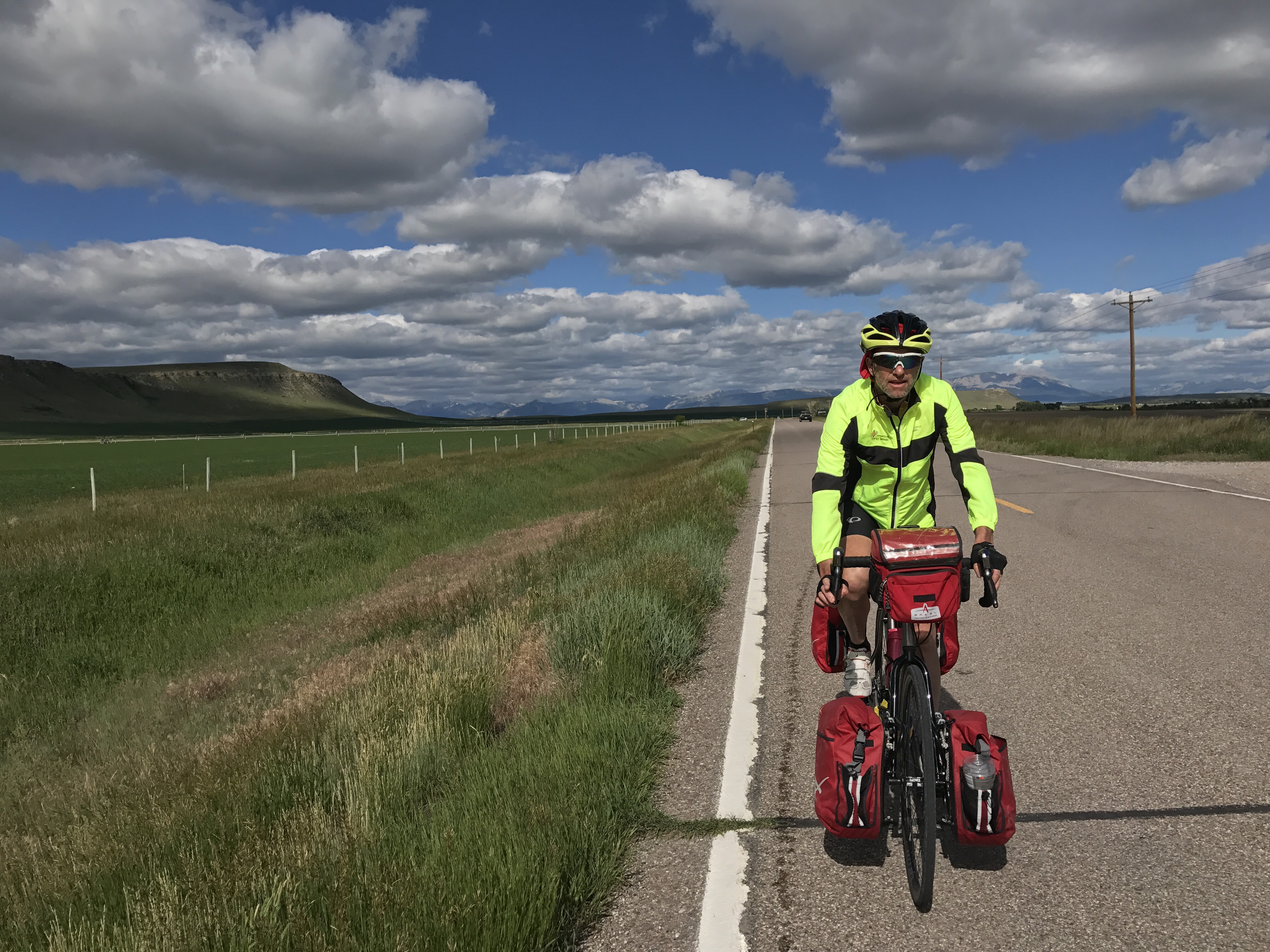
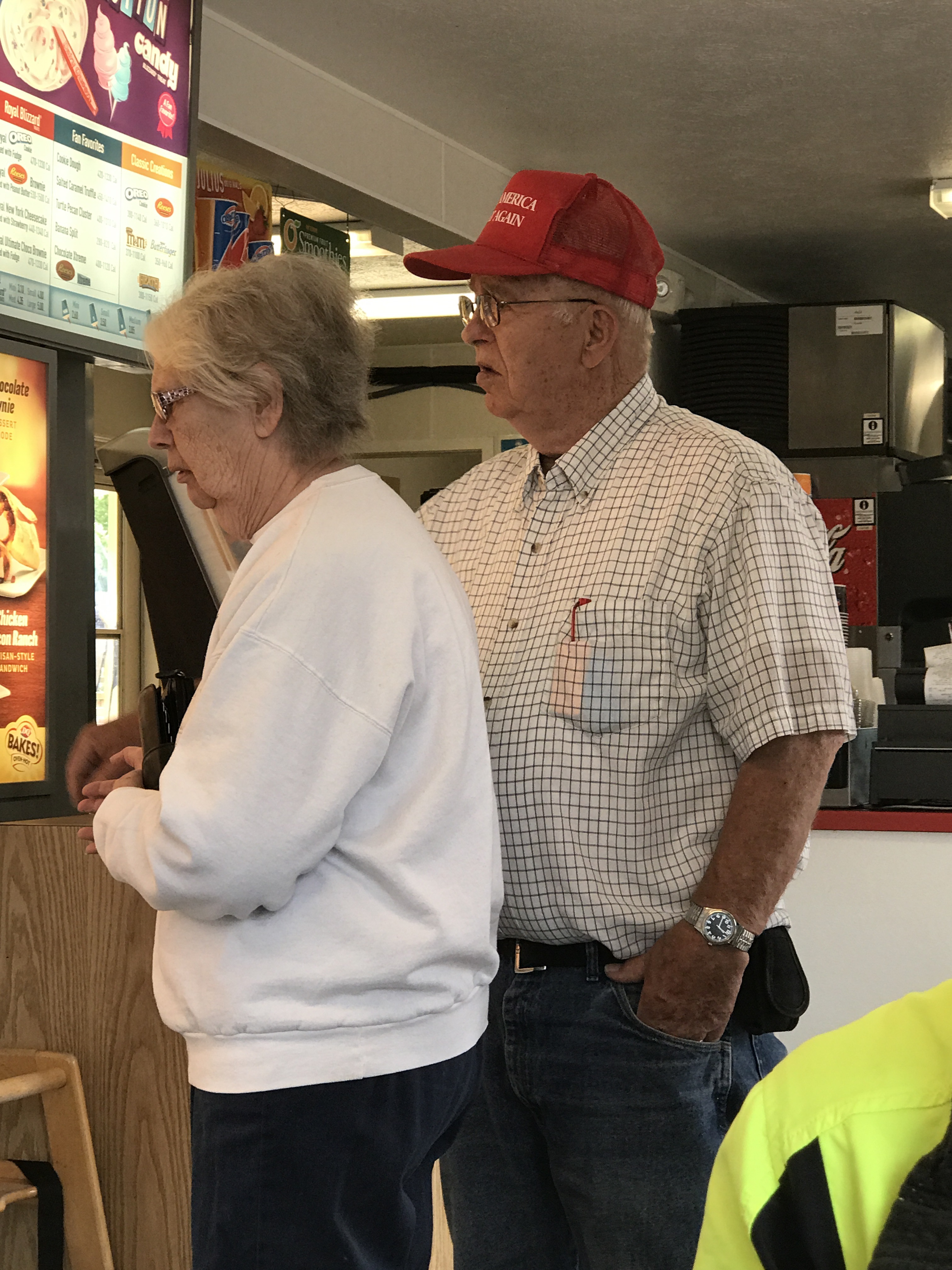
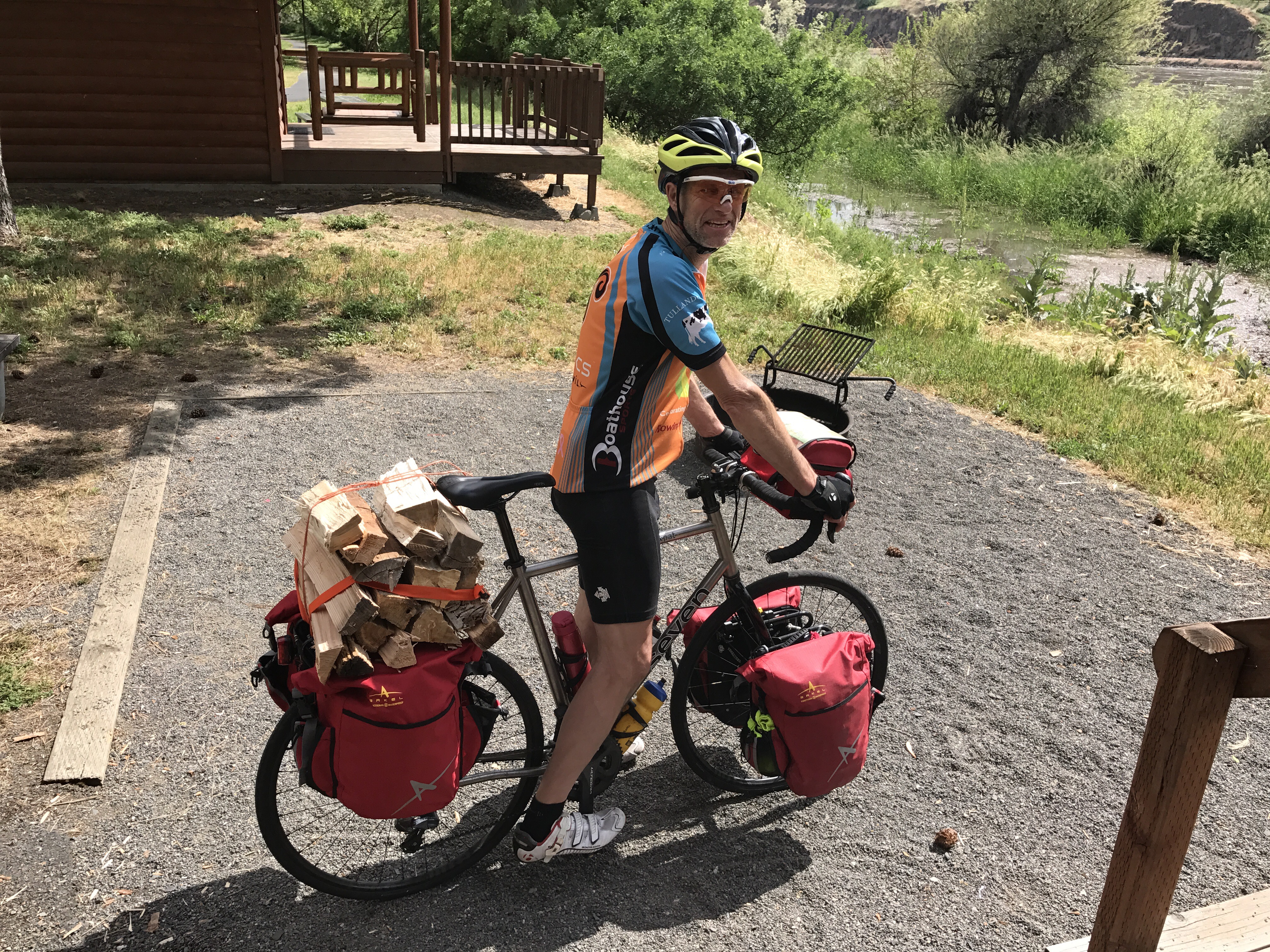
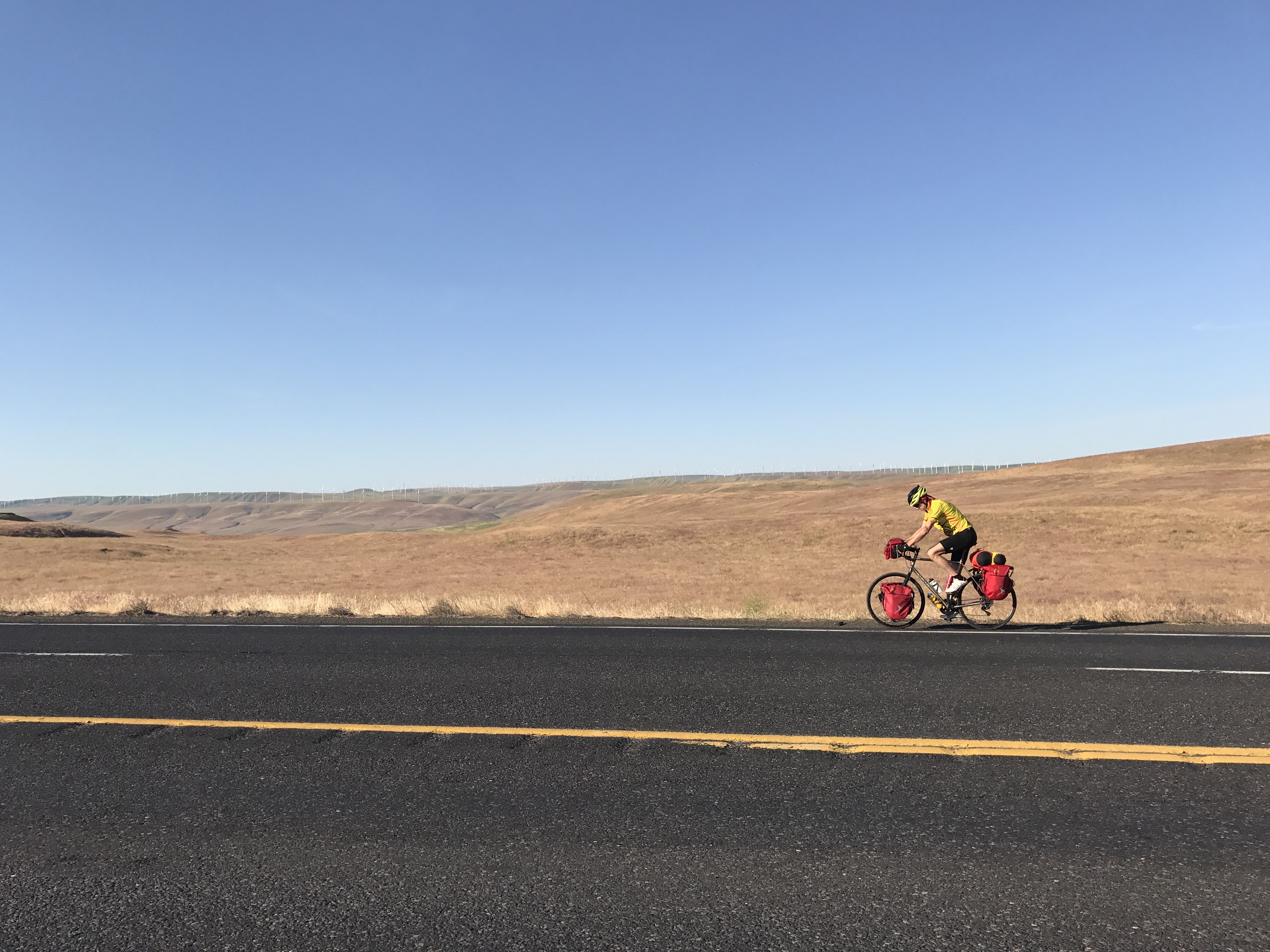
The day wore on, and Mark wore out. A headwind, temps in the nineties, 88 miles, and a heavy load were just too much. Ten minutes from our hotel, he gave out to heat exhaustion.
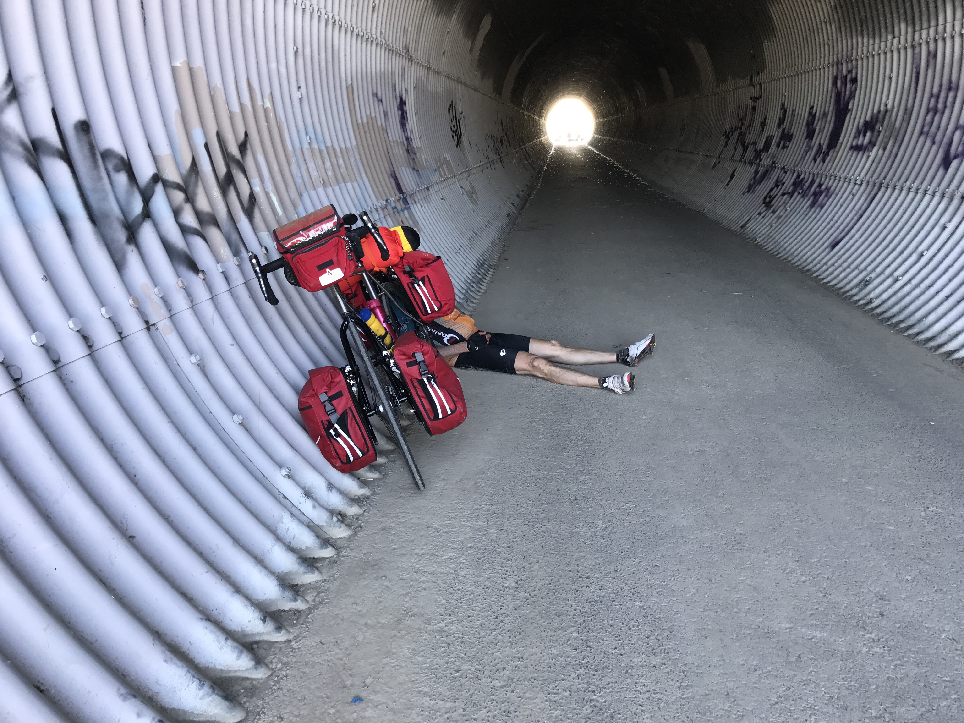
I found someone to give him a ride, and he has returned to the living. Hmm! A better name for today is “thermostat.”

We’re here, Lewis!

Lewis and Clark spent over two years getting up the Missouri River from St Louis, over the Continental Divide, and down the Columbia River to the Pacific.

Here’s that ocean view:


We had a tad easier journey.  First we flew to Portland, Oregon, and we could tell even on the plane that this was another Portland indeed.  The man next to me had just graduated from Yale Divinity School, and the guy in the window seat was reading Ovid.


Portland airport has space dedicated to assembling bikes, with tools provided.

The next day we drove to Astoria, on the coast. I wished we’d had had an extra day to explore here because it’s beautiful, dramatic, funky, and full of history. We dipped toes where the Columbia River empties into the Pacific at Fort Stevens State Park.


Then for the fussy work of assembling the bikes, FedExing the bike boxes back home (with some delay when all I could find at the FedEx address was a marijuana dispensary), and returning the car.
This:

 Packs up into this:


One risk of bringing bikes on planes is that TSA always opens the boxes. We worry they will break something trying to make the carefully arranged pieces of bike fit back into the box. This time they broke my pump.


The first afternoon of biking was about 35 miles on Route 30 to Clatskanie, up and down.  We got a bit blasted with logging and shipping truck traffic but enjoyed the tailwind and the chance to get acclimated to the notion of biking every day for the foreseeable future.

We’re staying at the Bike Inn, a place only for bicyclists, offered by a jack-of-all-trades couple who think the area should encourage biking. They turned the rec room into lodging when their daughter went off to college. They invited us to help bottle their wine crop tomorrow, but we must pedal on.  And now, good night.

Go Point

Tap, tap, hello, hello …  how nice of you to read this blog about our bicycle trip from Oregon to Maine.  I hope the blog teaches me not to overthink and mercilessly edit  (that is, mercilessly to edit) everything I write. Finding a stupid statement or a grammar error in writing I’ve already committed to public view brings me deep shame.  It’s easier not to write at all, and that sense has certainly constrained me. However, this big trip brings me to attempt a blog for many reasons.  First, I find and I hope you find as well that it’s fun to follow anyone on a grand adventure. Next, being in new territory every day will give me something to consider and maybe something to say.  Third, the long time away will make us miss family and friends, and this blog connects us easily.

While we ride I’ll ponder the questions that people have asked about this trip. “When will you be back?” is unanswerable. “Why are you doing this?” has a few levels of complexity. But “how’s your training going?” is an easy one.  After the 1000 mile bike trip we took last April, I’d had enough of biking. Since then I’ve biked maybe 75 miles: a couple of Ride and Dines, and a test run a couple of weeks ago. I’ve been exercising in other ways, and that will have to serve.  I expect to be sore at the start of this trip, but that’s nothing new. Wise Kim gave me an unbelievably big tube of Chamois Butt’r. I’ll be fine by Idaho.

Other than my not training, here’s what we’ve done so far to get ready.

Mark:  Bought a custom made bike.  Karen: started to look into a new bike but realized I don’t care. Cyclemania gave my old bike a nice tuneup, and a specialist tried to get the fit just right.

We chose a route, approximately this:  https://goo.gl/maps/FCmQiucD5u42.  We ordered maps from the Adventure Cycling company and a guidebook for Ontario. Because we will be interrupting the trip to return for our niece’s wedding, we looked for an airport town to get us back for a week in June. Great Falls, Montana, is about the right distance along. We blessed Airbnb for making it so easy to find a place to store our bikes for the wedding hiatus.

Then for the many details of leaving home for a long time. We invited Sally to use our vegetable garden while we are away, knowing that her visits will constitute a bit of a watch over the place.  Some friends have sold their house, and, in a fine coincidence, would like to live here while they regroup. Mark hired someone to mow the lawn.  I set up automatic payments for likely bills.  We’ve set a Google reminder to ask someone to pick up the mail every 30 days, as the post office requires. We got short haircuts that will have to do for the whole summer.  I stuck in some tomato plants and leeks and wished them well.

IMG_8988

Mark has packed up the bikes, and I’ve checked in for our flight. In whitewater canoeing, each rapid has a point when you are going down even if you change your mind.


Still to do: Try not to regret missing a summer in Maine.  Press “publish” on this blog.